The best running trails around Lara
4.2
(8)
351
runners
16
runs
Jogging around Lara offers routes through diverse landscapes, characterized by river valleys, rolling hills, and scenic viewpoints. The region, situated near the border between Spain and Portugal, features trails that often follow waterways and ascend to elevated positions. These running routes provide a mix of terrain, from riverside paths to more challenging ascents. The area's natural features create varied experiences for runners.
Best jogging routes around Lara
- The most popular jogging route is Praia Fluvial de Areeiros loop from Baltar…
Last updated: October 15, 2026
24
runners
17.7km
01:51
160m
160m
Hard run. Very good fitness required. Mostly paved surfaces. Suitable for all skill levels.
21
runners
6.55km
00:41
30m
30m
Moderate run. Good fitness required. Mostly paved surfaces. Suitable for all skill levels.

9
runners
7.22km
00:46
60m
60m
Moderate run. Good fitness required. Mostly paved surfaces. Suitable for all skill levels.
5
runners
11.4km
01:12
60m
60m
Moderate run. Good fitness required. Mostly paved surfaces. Suitable for all skill levels.
6
runners
Easy run. Great for any fitness level. Mostly paved surfaces. Suitable for all skill levels.
Get access to more routes and recommendations from other explorers.
Already have an account?
Our route recommendations are based on thousands of hikes, rides, and runs completed by other people on komoot.
Start today with a free account
Your next adventure awaits.
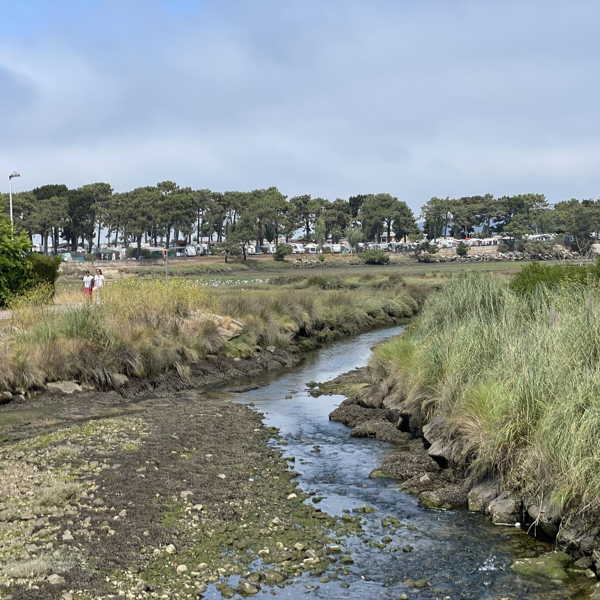
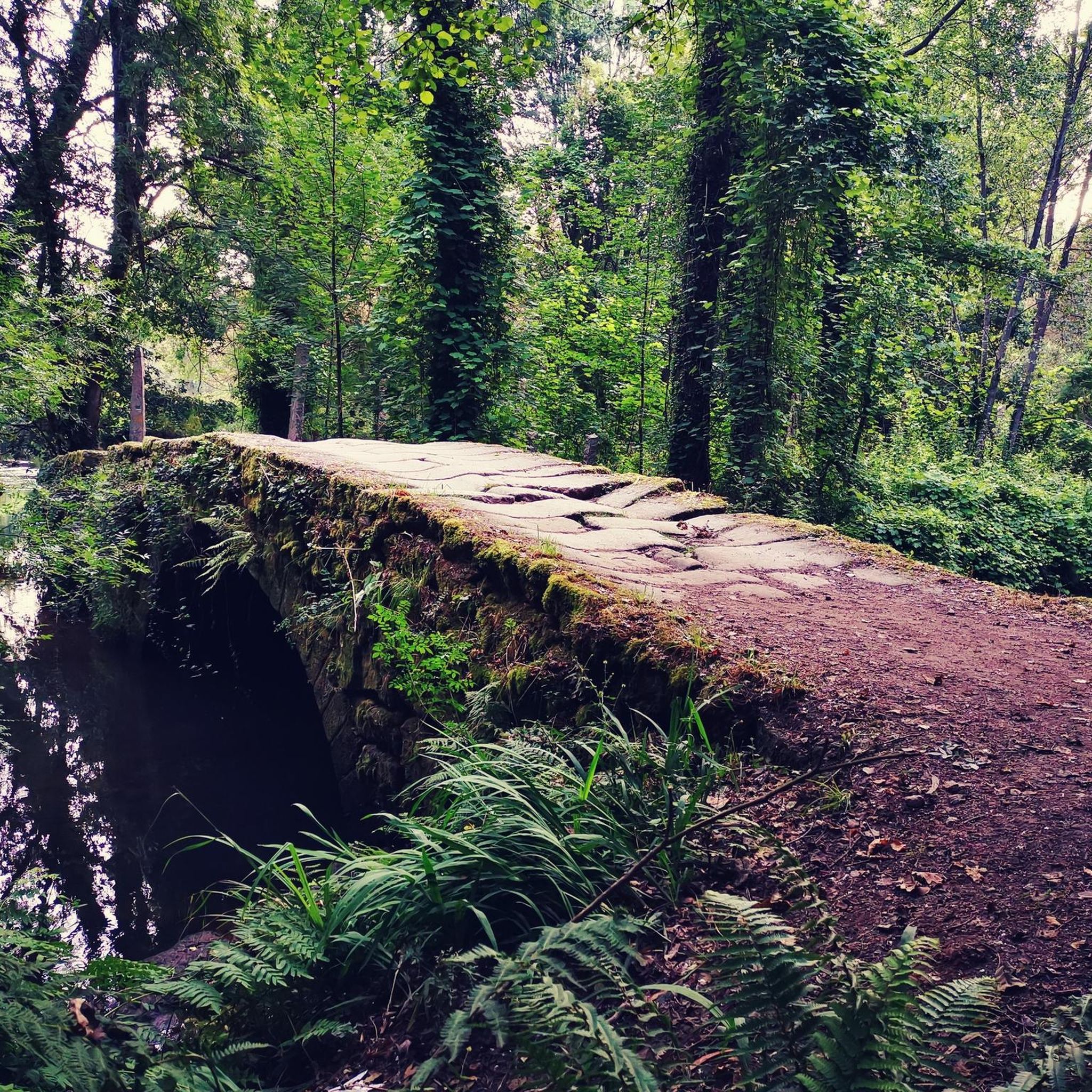
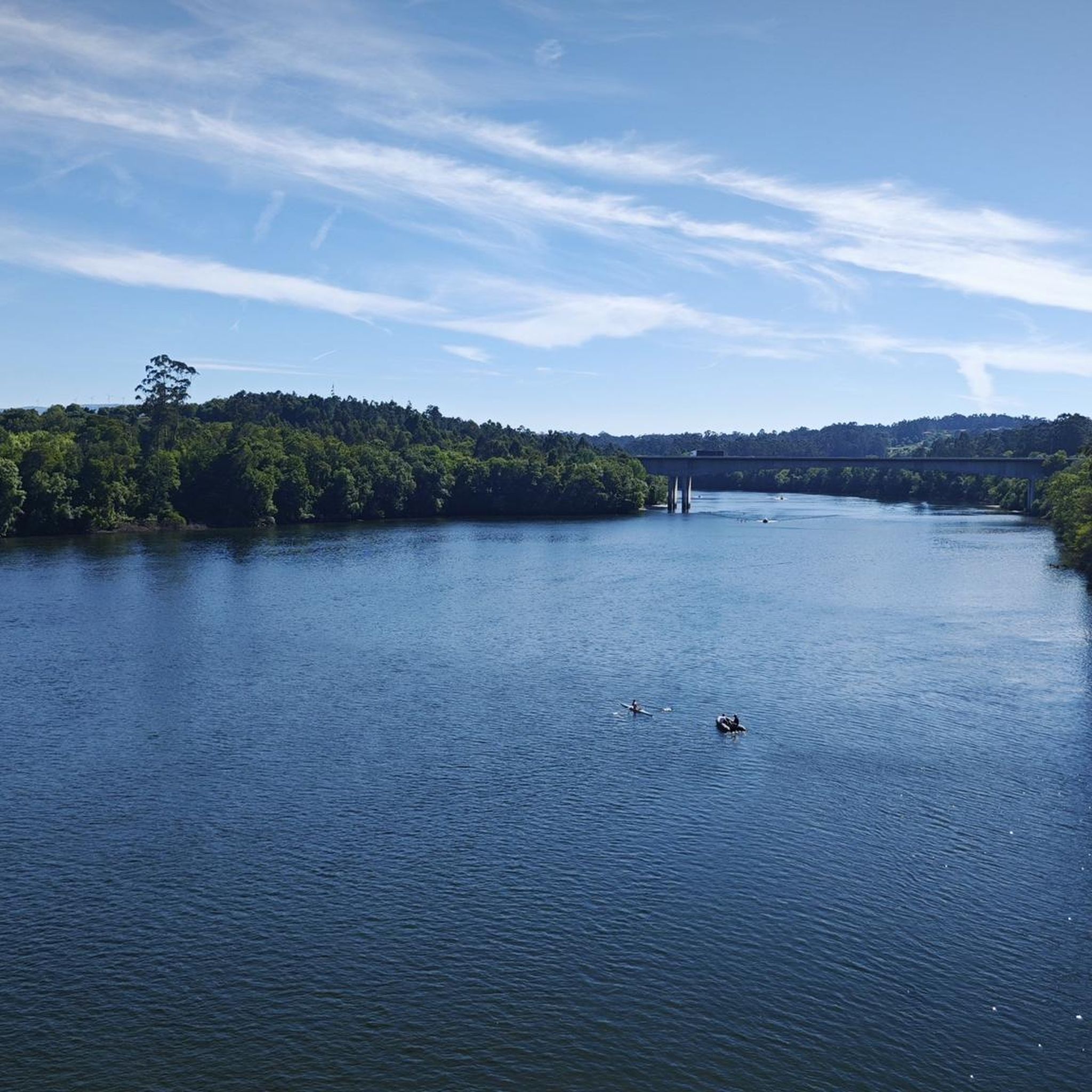

Tips from the Community

The wooden walkways stretch along the city walls of Monção and the banks of the Minho River to the stunning Parque das Caldas, always with views of neighboring Galicia. Inaugurated in 2021, they are a great way to reach Fortaleza de Monção.
1
0

The old Friestas Railway Station, once a stop on the Minho Line, has not received trains for over 40 years. Opened on 15 June 1913, it connected Valença to Lapela and was once served by trains between Porto - São Bento and Lapela. Today, all that remains is the memory of a time when the tracks still told stories of travel.
2
0

Friestas station/stop was part of the Minho Line railway section that closed in 1990. In 2004, this railway section was converted into an eco-track, now known as the Dão Eco-track.
1
0

Wooden walkway that does not appear on the map.
1
0

The original fortress was built almost a thousand years ago, back in the 10th or perhaps the 11th. The original wall that surrounds the castle dates from the 12th century and its main purpose was to defend the town from the constant attacks of the then Lusitanians (An Indo-European people living in the west of the Iberian Peninsula prior to its conquest by the Roman Republic and the subsequent incorporation of the territory into the Roman province of Lusitania.). In the 17th century, in the conflict of the Portuguese war of independence, it was completely renovated giving it its current appearance, although many defensive structures have disappeared over time. The plan of the fortress is rectangular and has no more and no less than 9,700 m2. Very few years ago, the only way to cross the river and go to the neighboring country was by using the ferry that joined the two banks aided by a large metallic cable that made sure that the barge was not dragged by the waters of the river. The docks and the old border customs are still preserved. A Good Reference: https://www.galiciamaxica.eu/galicia/pontevedra/comarca-do-condado/salvaterra-do-mino/fortaleza-de-salvaterra/
1
0
Frequently Asked Questions
How many running routes are available in Lara?
Komoot features over 5 running routes around Lara, offering a variety of experiences. These include paths through river valleys and routes ascending to scenic viewpoints.
What kind of terrain can I expect on running trails around Lara?
Jogging around Lara is characterized by diverse terrain, including river valleys, rolling hills, and paths leading to scenic viewpoints. You'll find a mix of riverside paths and more challenging ascents, providing varied experiences for runners.
What do other runners say about the jogging routes in Lara?
The running routes in Lara are highly rated by the komoot community, with an impressive average score of 5.0 stars from over 6 reviews. More than 140 runners have used komoot to explore the region's varied terrain, often praising the scenic riverine landscapes and panoramic views.
Are there easy running routes suitable for beginners in Lara?
While there are no routes specifically graded as 'easy' in our current selection, many of the 'moderate' routes, such as the Praia Fluvial de Areeiros loop from Baltar, are relatively flat and shorter, making them suitable for beginners looking for a pleasant run along a river beach. This route is 4.1 miles (6.6 km) long.
Are there challenging running routes for experienced runners in Lara?
Yes, experienced runners will find challenging options. The Monte Aloia Summit View – San Ciao Viewpoint loop from Tui is a difficult 17.5 miles (28.2 km) path with significant elevation gain, offering panoramic views from a mountain summit. Another challenging option is the Ponte da Veiga loop from Valença, a 12.1 miles (19.5 km) trail through riverine landscapes.
Are there any circular running routes in Lara?
Yes, many of the running routes in Lara are circular, offering convenient starting and ending points. Examples include the popular Praia Fluvial de Areeiros loop from Baltar and the more challenging Monte Aloia Summit View – San Ciao Viewpoint loop from Tui.
What natural features or landmarks can I see while running in Lara?
While running in Lara, you can explore several interesting landmarks and natural features. Routes often follow river valleys, offering scenic water views. Notable attractions include the historic Tui-Valencia International Bridge, the impressive Fortress of Valença, and the picturesque Ponte da Veiga. Many trails also lead to scenic viewpoints, providing panoramic vistas of the surrounding landscape.
Are the running trails in Lara suitable for families?
Many of the moderate routes in Lara, particularly those along river paths with less elevation, can be suitable for families looking for a pleasant outdoor activity. The Praia Fluvial de Areeiros loop from Baltar, for instance, offers a relatively flat and enjoyable run along a river beach.
Are there dog-friendly running trails in Lara?
Most natural trails and paths in the Lara region are generally dog-friendly, provided dogs are kept under control, especially around wildlife or livestock. It's always a good idea to check local regulations for specific areas or parks before heading out with your canine companion.
Are there running routes accessible by public transport in Lara?
Many routes in Lara start from towns like Tui or Valença, which may have public transport connections. While specific public transport details for each trailhead are not provided, planning your route from these larger hubs could offer better accessibility options.
Where can I find parking near the running routes in Lara?
For routes starting from towns such as Baltar, Tui, or Valença, you can typically find public parking facilities within or near the town centers. For routes in more rural areas, roadside parking might be available, but it's advisable to check maps or local information for designated parking spots before your run.
What is the best time of year to go running in Lara?
The Lara region, situated near the Spain and Portugal border, generally enjoys mild weather, making it suitable for running for much of the year. Spring and autumn offer pleasant temperatures and lush scenery, ideal for outdoor activities. Summer can be warm, so early morning or late evening runs are recommended, while winter provides cooler, crisp conditions, though some higher elevation trails might be more challenging.
Most popular attractions around Lara

Get inspired with the komoot mobile app


Explore more
Browse the best Running Trails & Routes in other regions.
