The 6 Most Amazing Peaks around Kaindorf
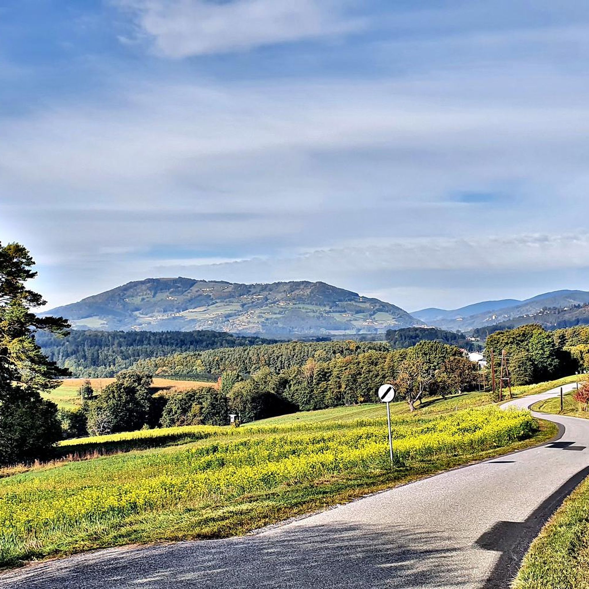
Best mountain peaks around Kaindorf are found in Eastern Styria, Austria, a region characterized by rolling hills. Kaindorf serves as a base for exploring higher elevations and diverse natural attractions within this ecoregion. The area offers a variety of hiking experiences, from elevated viewpoints to prominent summits. It provides access to notable mountainous regions nearby for those seeking more demanding hikes.
Best mountain peaks around Kaindorf
- The most popular mountain peaks is Ringwarte Observation Tower, a viewpoint that offers…
Last updated: October 11, 2026
Ringwarte Observation Tower
Highlight • Viewpoint
Translated by Google •
Tip by

Kulm Summit
Highlight • Summit
Translated by Google •
Tip by

Sign up now to discover places like this
Get recommendations on the best single tracks, peaks, & plenty of other exciting outdoor places.
Masenberg Summit Cross
Highlight • Summit
Translated by Google •
Tip by

Freiberger Wetterkreuz
Highlight • Summit
Translated by Google •
Tip by

Wullmenstein Summit
Highlight • Summit
Translated by Google •
Tip by

Sign up for free to discover even more peaks around Kaindorf.
Already have an account?
Start today with a free account
Your next adventure awaits.
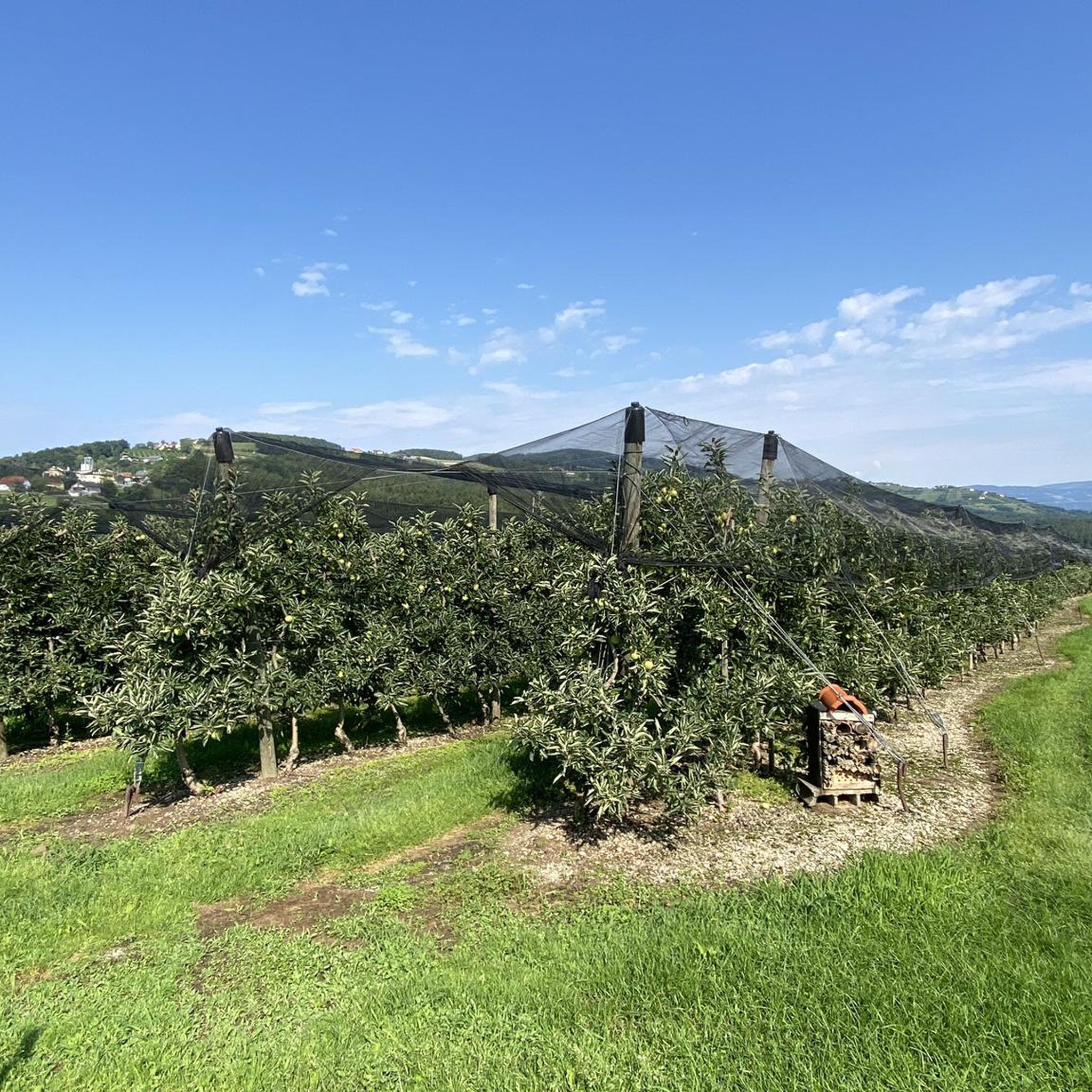
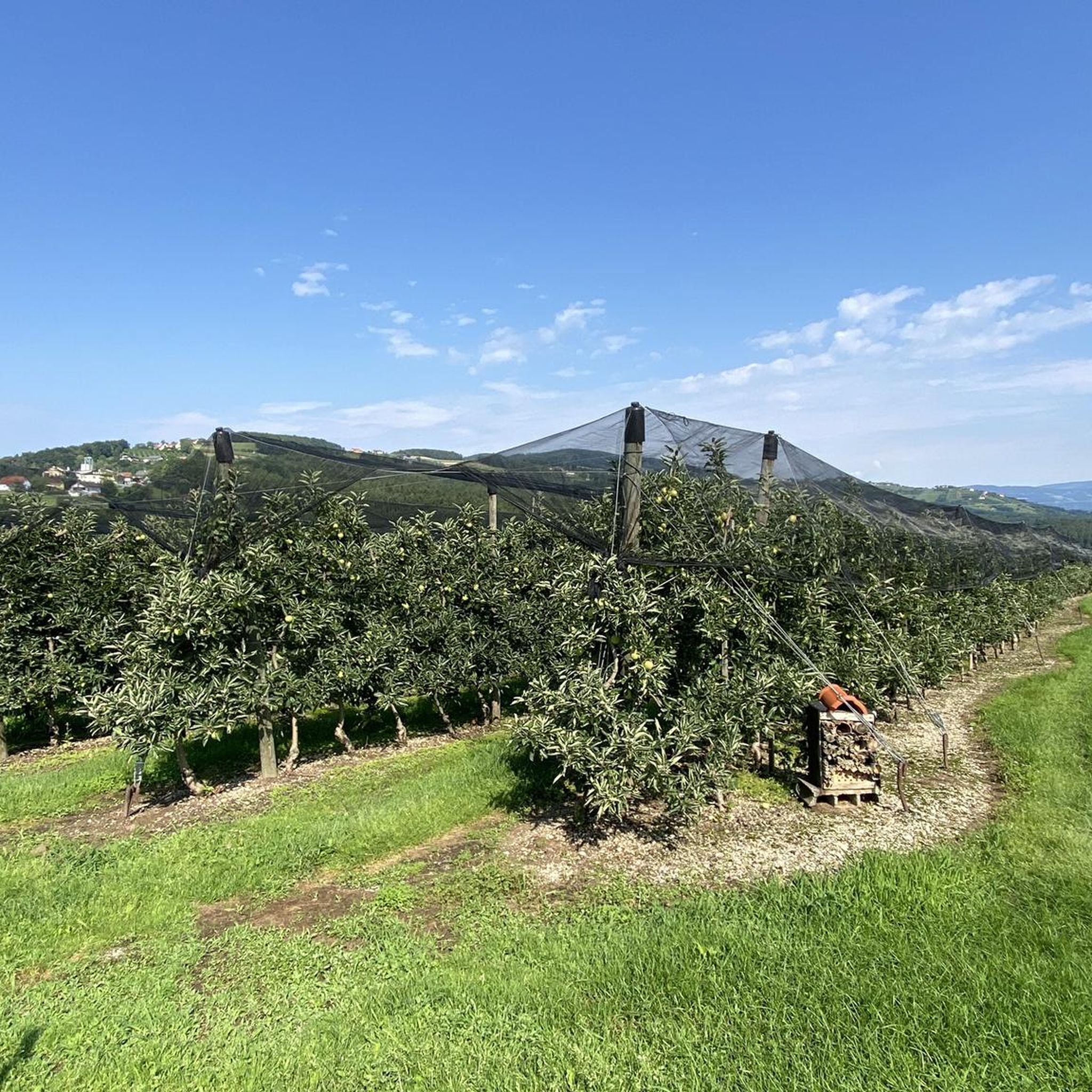
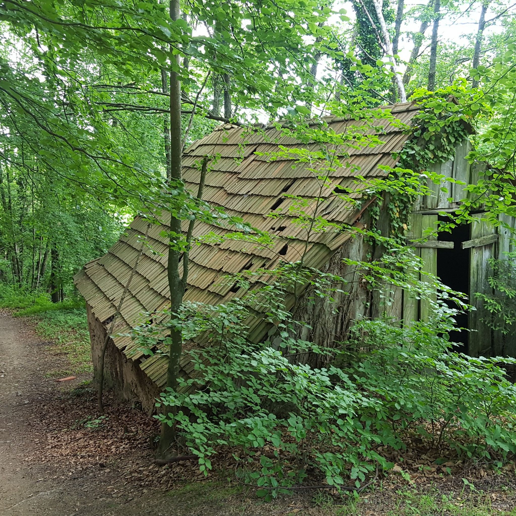
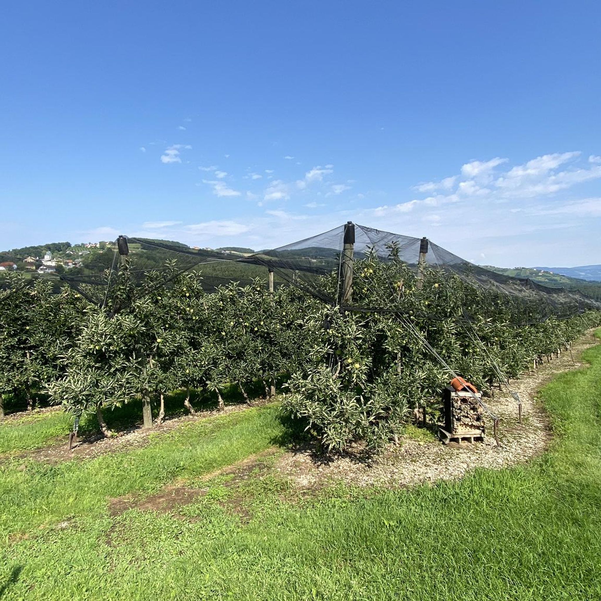

Tips from the Community

A visit here is worthwhile for the view alone. The summit itself looks a bit unkempt and dated. The many empty "Lost Place" chapels do their part. During my tour, the summit cross was also missing, although the pedestal is still there. But never mind... just don't let it spoil your good mood and enjoy the view.
0
0

My pleasure tour every year, car to service and in the meantime a great MTB tour to the Ringkogel and of course with a stop at the nice landlady. A further ride to the Masenberg is recommended, everything is well signposted. The Glückskapelle and above it the summit cross, a true power spot. There is also a refreshment stop to strengthen you for the return journey. Then there is the possibility to go to Pöllauberg and back to Hartberg via the Pöllauberg cycle path, or with a few more meters of altitude, as shown in my tour profile, by crossing the ridge and along the back of the Ringkogel (east side) back to Hartberg. With a small round trip in the city center, cycling is allowed everywhere!! how nice! There is also wonderful Illy coffee, it was a successful, beautiful day.
0
0

The view from the top is really beautiful on a clear day, like we had.
0
0

Nice mountain that is easy to walk in winter. For the last piece you may need Grödel with ice cream. Great views in several directions. At the top the paths are a bit confusing, with barriers - but you can find your way around.
1
0

When climbing up, the last third part of the route is quite steep, at the top of the circular route the route is fenced off, so we missed the given direction of the Way of the Cross a bit and had to go over a Climb over with barbed wire and locked gate. The descent afterwards over a very beautiful piece of mixed forest to walk on. Be sure to stop at the Gasthaus Windhaber (very good food and friendly) about 4 hours. hiked. In my opinion, the hike is wonderful.
1
0

Wonderful view, benches invite you to rest after the strenuous uphill. The Masenberg Trail begins a little below the summit cross down to Pöllauberg.
2
1
There is a great chance of seeing a rare butterfly here: the swallowtail. On our tour, two of them turtled next to the lookout tower.
0
0

Interesting "summit cross". Great place for a break.
0
0
Frequently Asked Questions
What are some prominent viewpoints or summits to visit near Kaindorf?
Near Kaindorf, you can explore several notable elevated spots. The Ringwarte Observation Tower offers magnificent panoramic views from its 30-meter high wooden structure. Another popular spot is Kulm Summit, which provides good views of the East Styrian hills. You can also visit Freiberger Wetterkreuz for valley views, and the easily accessible Wullmenstein Summit.
Are there challenging mountain peaks for experienced hikers near Kaindorf?
While Kaindorf itself is in rolling hills, it serves as a base for more demanding hikes. The **Hochwechsel**, the highest peak of the Wechselgebirge mountain range, is accessible from the region. This challenging peak offers breathtaking panoramic views stretching across the East Styrian hill country to the distant, snow-covered Alps.
What kind of views can I expect from the mountain peaks around Kaindorf?
From the elevated points around Kaindorf, you can expect diverse and extensive views. The Ringwarte Observation Tower provides magnificent panoramas of the surrounding landscape. From the **Hochwechsel**, you'll see across the East Styrian hill country to the distant Alps. On clear days, the Ringkogel area can even offer views towards Lake Balaton and Slovenia.
Are there family-friendly options for exploring elevated areas near Kaindorf?
Yes, there are family-friendly options. The Wullmenstein Summit is known for its easy circular hike and easily accessible summit, making it suitable for families. Additionally, the region offers numerous well-marked hiking trails of varying difficulty, including easy walks that lead through picturesque landscapes, perfect for family outings.
What is the best time of year to hike the mountain peaks around Kaindorf?
Spring and autumn are considered the best seasons for hiking the mountain peaks and elevated areas around Kaindorf. During these times, temperatures are mild, and the natural scenery is particularly vibrant, offering pleasant conditions for exploration.
Beyond specific peaks, what other natural features can I explore near Kaindorf?
Beyond individual peaks, the region offers diverse natural attractions. The **Raabklamm** is a wildly romantic gorge featuring thundering waterfalls and significant elevation changes, ideal for scenic walks. The **Nature Park Pöllauer Tal** to the northwest provides elevated terrain and scenic beauty for hiking. You can also find viewing towers along routes like the Harter Teich-Großhart-Auffen, offering additional scenic outlooks.
Are there hiking trails available for different fitness levels around Kaindorf?
Absolutely. Kaindorf is an ideal starting point for numerous well-marked hiking trails suitable for various fitness levels. You can find easy walks, moderate loops like the Hofkirchen Chapel – Reichl Chapel loop, and more challenging tours, including those leading to higher elevations like the **Hochwechsel**. For easy options, consider routes like the Pond at Teichstubn – St. Jakobus Chapel loop.
Can I find routes for mountain biking near the peaks around Kaindorf?
Yes, the region around Kaindorf offers mountain biking opportunities. You can find various MTB trails, such as the Feistritz Gorge – Feistritzklamm Gorge loop or the Herberstein Zoo – St. Jakobus Chapel loop, which allow you to explore the diverse landscape on two wheels.
What makes the <a href="https://www.komoot.com/highlight/130019" target="_blank" rel="noopener">Ringwarte Observation Tower</a> a popular spot?
The Ringwarte Observation Tower is popular for its magnificent views from its 30-meter high wooden structure. Built in 1906, this historic tower offers extensive panoramas of the surrounding landscape, making the one-euro entrance fee well worth it for the unique perspective.
What kind of terrain can I expect when hiking around Kaindorf's elevated areas?
When hiking around Kaindorf's elevated areas, you can expect a varied terrain. Trails often lead through dense forests, past clear mountain lakes, and feature impressive rock formations, especially on routes to peaks like the **Hochwechsel**. The broader region is characterized by rolling hills, picturesque landscapes, and sometimes dramatic gorges like the Raabklamm.
Are there any unique or historical elevated spots to visit?
Yes, the Ringwarte Observation Tower is a historical highlight, built in 1906, offering not just views but also a glimpse into the past. The Freiberger Wetterkreuz is another unique spot, featuring an interesting weather cross that is visible from afar and provides a great place for a break with valley views.
Where can I find more information about hiking routes around Kaindorf?
For more detailed information on hiking routes, you can explore the dedicated komoot guides. Check out the Hiking around Kaindorf guide for a variety of trails, and the Easy hikes around Kaindorf guide for less strenuous options.
Most popular routes around Kaindorf
Most popular attractions around Kaindorf

Get inspired with the komoot mobile app


Explore more
See even more amazing summits around Kaindorf with these guides:
