The best running trails around São João Da Serra
5.0
(2)
100
runners
5
runs
Jogging routes around São João Da Serra traverse a landscape characterized by varied terrain, including mountainous regions and river valleys. The area offers a mix of paths with significant elevation changes, suitable for challenging running experiences. Natural features like waterfalls and dense forests are integrated into many of the available routes. This region provides diverse environments for runners seeking both demanding trails and scenic views.
Best jogging routes around São João Da Serra
- The most popular jogging route is Ribeiradio…
Last updated: July 9, 2026
32
runners
37.9km
04:52
1,290m
1,290m
Hard run. Very good fitness required. Mostly paved surfaces. Suitable for all skill levels.
14
runners
18.3km
02:30
580m
580m
Hard run. Very good fitness required. Mostly paved surfaces. Suitable for all skill levels.

Sign up for free
5.0
(1)
12
runners
15.2km
01:55
450m
450m
Hard run. Very good fitness required. Mostly paved surfaces. Suitable for all skill levels.
9
runners
14.1km
02:15
780m
780m
Hard run. Very good fitness required. Mostly paved surfaces. Suitable for all skill levels.
9
runners
27.4km
04:01
1,240m
1,240m
Hard run. Very good fitness required. Mostly accessible paths. Some sure footedness required.
Our route recommendations are based on thousands of hikes, rides, and runs completed by other people on komoot.
Start today with a free account
Your next adventure awaits.
Login or Signup
Tips from the Community

Water supply point, or stop for a coffee 👌🏼
0
0

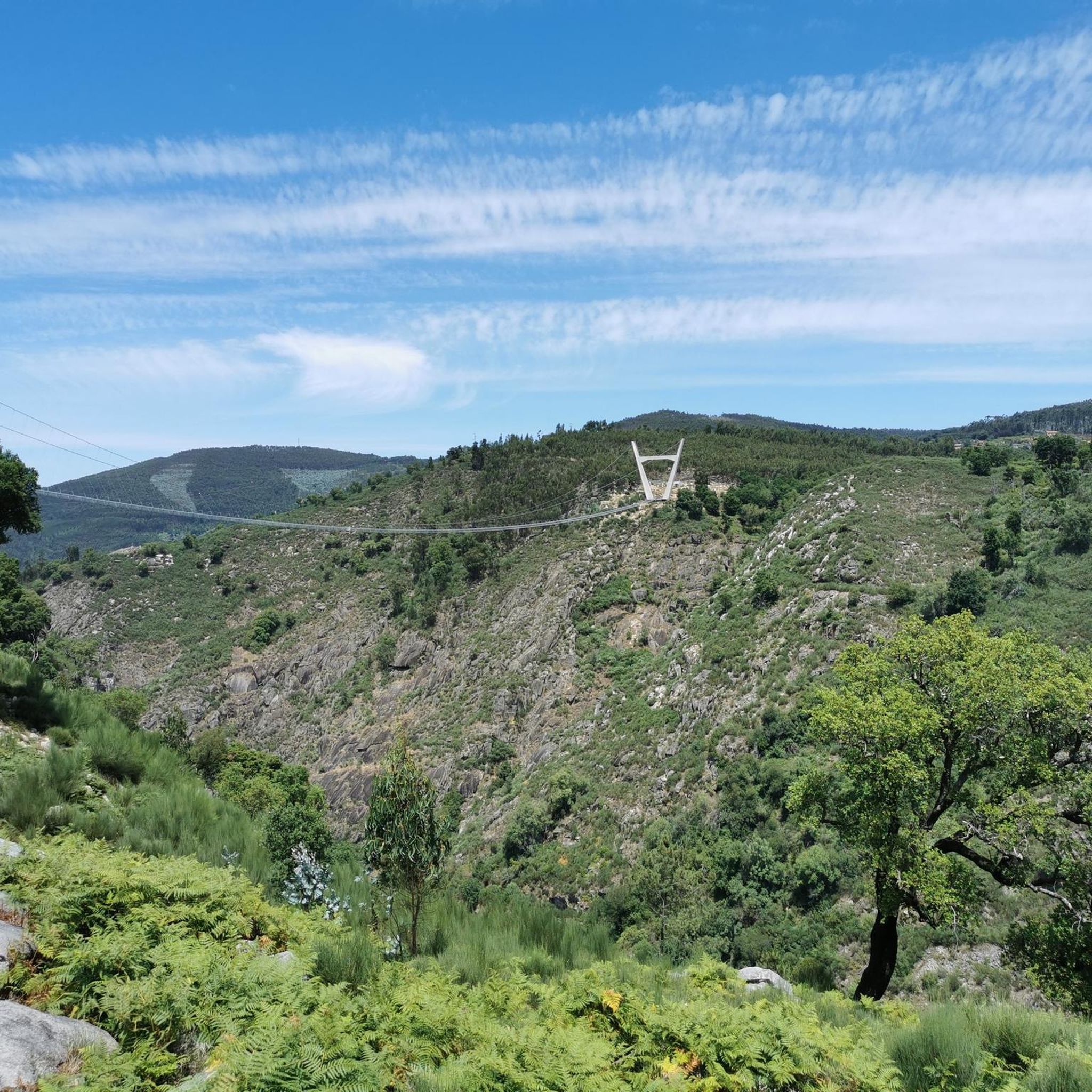
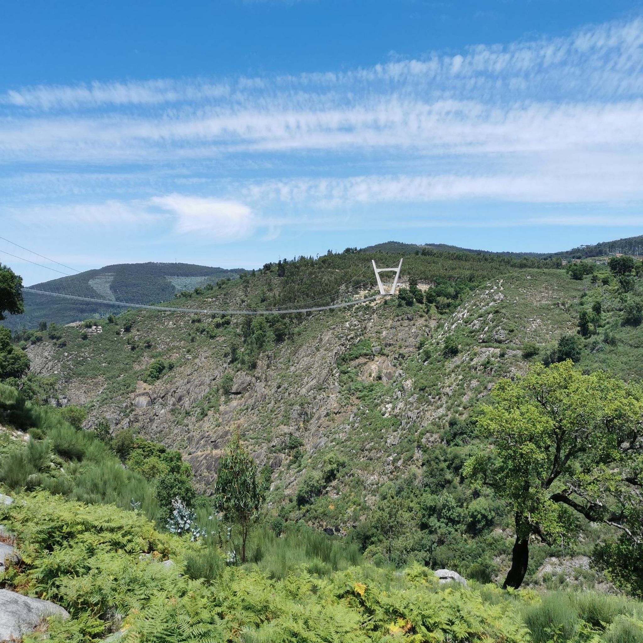
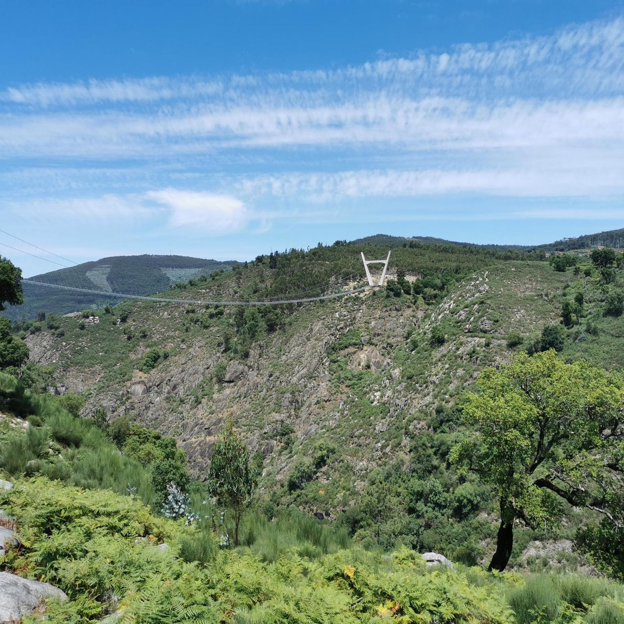
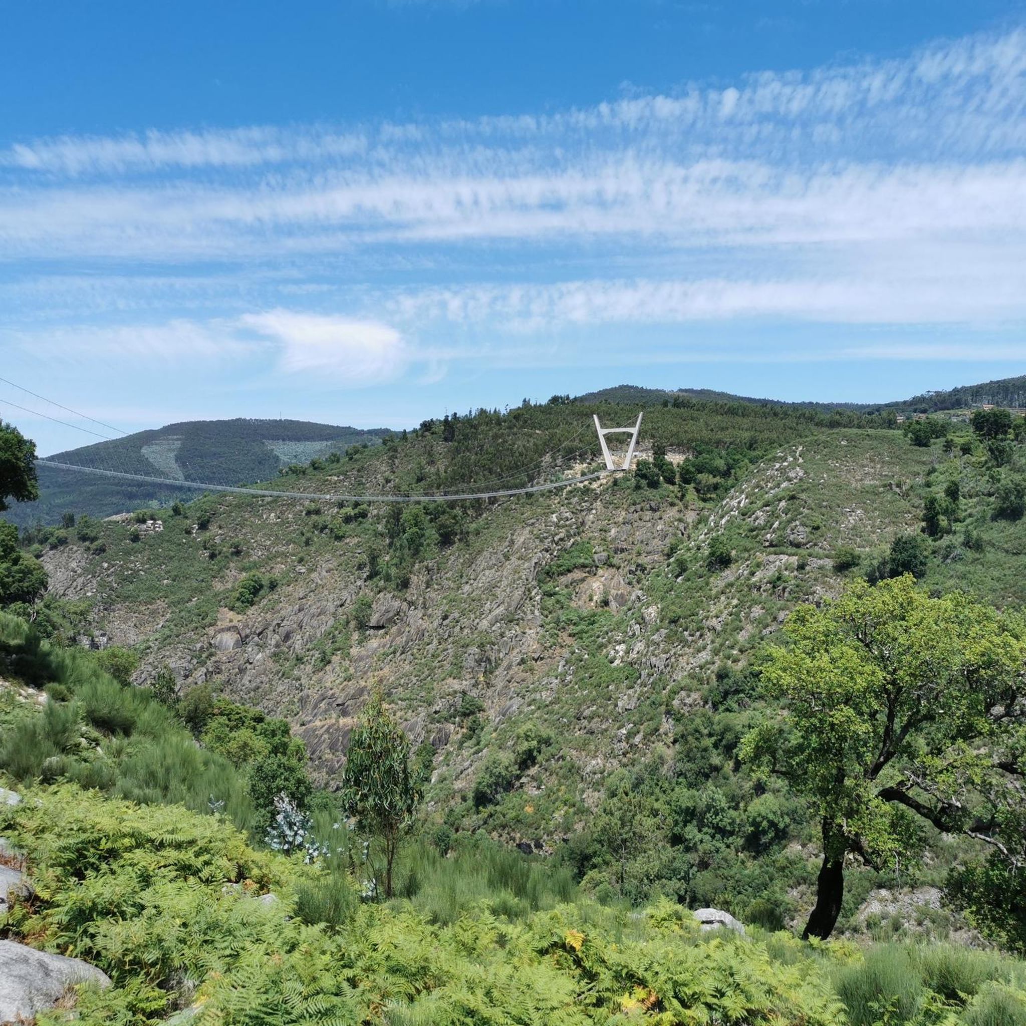
These trails, which stretch along the cliffs of Frecha da Mizarela, offer stunning views of the highest waterfall in mainland Portugal. At every step, the immensity of the mountainous landscape surprises you, making each steep climb a reward in itself.
1
0


Felgueira, in the parish of Arões, Vale de Cambra, is a traditional village with granite and slate houses and cobbled paths. Surrounded by Serra da Freita, it offers stunning landscapes and signposted walking routes.
0
0
At this point the asphalted section of the climb to Pico do Gralheiro ends, 1000m above sea level. The rest of the route can be completed on a road bike, but it is important to bear in mind that it is approximately 500m on a dirt road.
1
0

STRONG PHYSICAL AND PSYCHOLOGICAL CONDITION, STRETCH WITH MOUNTAIN CHARACTERISTICS, AVOID HEAT
0
0

Nice picnic area for relaxing (and/or wild camp) in the top of Serra da Freita, after a challenging ascent.
0
0

Entrance to the summit, follow the cairns
2
0
Frequently Asked Questions
What kind of terrain can I expect on running trails around São João Da Serra?
The running routes around São João Da Serra are characterized by varied terrain, including mountainous regions and river valleys. Many paths feature significant elevation changes, offering challenging experiences for runners. You'll encounter dense forests and natural features like waterfalls along the way.
Are there any easy or beginner-friendly running routes in São João Da Serra?
While many routes in São João Da Serra present significant challenges, the region does offer options for different ability levels. The guide data indicates at least one easy route, though specific details for beginner-friendly options would require checking individual route descriptions on komoot.
What natural attractions or landmarks can I see while jogging in São João Da Serra?
While running in São João Da Serra, you can discover several natural attractions. For example, the Cabreia Waterfall is a notable feature. You might also encounter the Climb to Pico do Gralheiro or the Detrelo da Malhada Viewpoint, offering scenic breaks during your run.
Are there any running routes that feature waterfalls?
Yes, the region is known for its natural water features. The Frecha da Mizarela Trail – Pedra das Marcas loop from Albergaria da Serra is a difficult route that specifically offers views of the Frecha da Mizarela waterfall. Additionally, the Cabreia Waterfall is another natural monument you could encounter.
Are there circular running routes available in São João Da Serra?
Yes, several circular running routes are available. Popular options include the challenging Ribeiradio Dam loop from Sever do Vouga, the Frecha da Mizarela Trail – Pedra das Marcas loop from Albergaria da Serra, and the Fonte das Barcolas loop from Sever do Vouga.
What do other runners say about the trails in São João Da Serra?
The running routes in São João Da Serra are highly rated by the komoot community, with an average score of 5.0 stars from reviews. Over 90 runners have used komoot to explore the varied terrain, often praising the challenging nature and scenic views of the mountainous regions and dense forests.
Is it possible to reach the running trails by public transport?
While the guide data doesn't explicitly detail public transport access for each trailhead, the presence of Paradela Station and Cedrim Station as nearby attractions suggests that some areas might be accessible via train or other local transport. It's advisable to check local transport schedules for specific trailheads.
Are there parking facilities available near the trailheads?
The guide data does not specifically mention parking facilities for each route. However, for routes starting from villages like Sever do Vouga, Albergaria da Serra, Cabreiros, or Felgueira, it is generally common to find parking options within or near these settlements. It's recommended to check the specific komoot route page for detailed parking information.
What is the best time of year for running in São João Da Serra?
São João Da Serra, particularly the Portuguese location, offers diverse landscapes suitable for running year-round. However, the mountainous regions can experience varied weather. Spring and autumn generally offer milder temperatures, ideal for longer runs. Summer can be warm, while winter might bring cooler, potentially wetter conditions, especially at higher elevations. Always check local weather forecasts before heading out.
Are there any family-friendly running options in the region?
While many of the listed routes are challenging, the region's diverse terrain suggests there might be easier paths suitable for families. The guide indicates at least one easy route, and areas with river walks or less strenuous forest trails could be suitable. It's best to look for routes with minimal elevation gain and shorter distances if running with family.
Can I bring my dog on the running trails in São João Da Serra?
The guide data does not specify dog-friendly policies for individual routes. In general, many natural trails in Portugal allow dogs, especially if kept on a leash. However, it's always best to check local regulations or specific route details on komoot to ensure dogs are permitted and to be mindful of wildlife and other trail users.
What are some notable viewpoints I can discover on a run?
The region offers stunning vistas, especially given its mountainous character. A prominent viewpoint you can discover is the Detrelo da Malhada Viewpoint. Routes that climb to areas like Pico do Gralheiro or Serra da Freita will also provide panoramic views of the surrounding landscapes.
How many running routes are available in São João Da Serra?
There are at least 5 running routes detailed in the komoot guide for São João Da Serra, with many more available for exploration on the platform. These routes cater to various preferences, though many offer significant challenges.
Are there any routes that offer significant elevation challenges for experienced runners?
Absolutely. São João Da Serra is known for its challenging terrain. Routes like the Ribeiradio Dam loop from Sever do Vouga feature over 1200 meters of elevation gain, making them ideal for experienced runners seeking a demanding workout. The Pico do Gralheiro loop from Felgueira also offers substantial climbs.
Most popular attractions around São João Da Serra

Get inspired with the komoot mobile app


Explore more
Browse the best Running Trails & Routes in other regions.
