The best running trails around Carvalhais e Candal e Candal e Candal
3.0
(1)
52
runners
6
runs
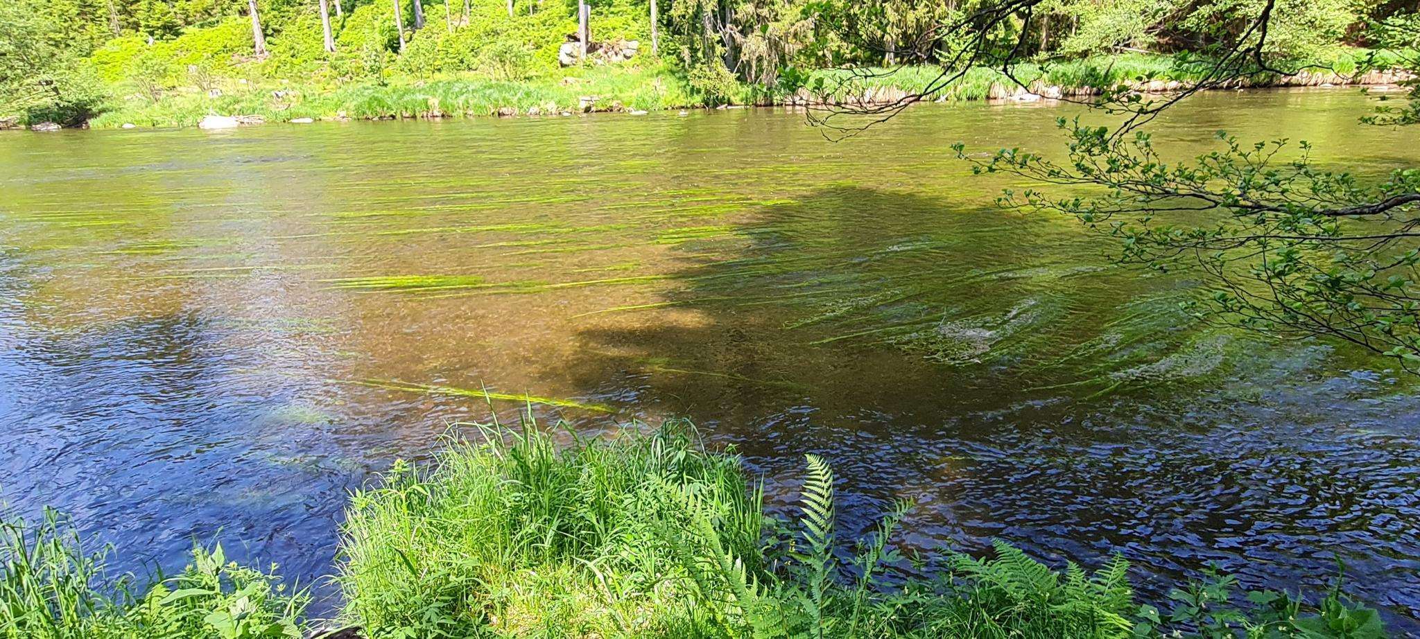
Jogging around Carvalhais e Candal e Candal e Candal offers routes through diverse landscapes on the southern slopes of Serra da Arada. The terrain is characterized by rugged, rocky features, granite outcrops, and numerous perennial water lines. Runners can explore varied environments, including rural paths within Baldio de Carvalhais and mixed deciduous forests. The region features river valleys and natural pools, providing a scenic backdrop for running activities.
Best jogging routes around Carvalhais e Candal e Candal e Candal
- The…
Last updated: June 26, 2026
3.0
(1)
21
runners
6.98km
00:45
100m
100m
Moderate run. Good fitness required. Mostly paved surfaces. Suitable for all skill levels.
5
runners
29.5km
03:53
1,060m
1,060m
Hard run. Very good fitness required. Mostly paved surfaces. Suitable for all skill levels.

Sign up for free
6
runners
48.4km
06:32
1,820m
1,820m
Hard run. Very good fitness required. Mostly paved surfaces. Suitable for all skill levels.
4
runners
9.77km
01:23
420m
420m
Hard run. Very good fitness required. Mostly paved surfaces. Suitable for all skill levels.
3
runners
7.92km
01:09
400m
400m
Hard run. Very good fitness required. Mostly paved surfaces. Suitable for all skill levels.
Our route recommendations are based on thousands of hikes, rides, and runs completed by other people on komoot.
Start today with a free account
Your next adventure awaits.
Login or Signup

Frequently Asked Questions
How many running routes are available in Carvalhais e Candal e Candal e Candal?
There are 6 dedicated running routes available in the Carvalhais e Candal e Candal e Candal region. These routes cater to various fitness levels, from moderate paths to more challenging trails with significant elevation gain.
What kind of terrain can I expect on the jogging trails in this region?
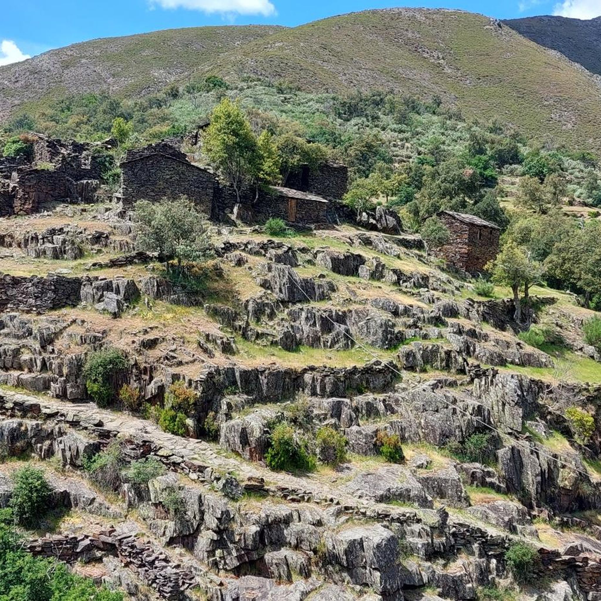
The terrain in Carvalhais e Candal e Candal e Candal is characterized by rugged, rocky features, numerous granite outcrops, and perennial water lines. You'll find diverse environments, including rural paths within Baldio de Carvalhais and mixed deciduous forests. Some sections are paved or accessible, while others require sure-footedness due to their rugged nature.
Are there any easy or moderate running routes for beginners or those looking for a less strenuous run?
Yes, while many routes are challenging, there is a moderate option available. The Albufeira dos Drizes loop from Várzea is a 4.3-mile (7.0 km) trail with a low elevation gain of 333 feet (102 meters), making it suitable for a less strenuous run.
Can I find circular running routes in Carvalhais e Candal e Candal e Candal?
Yes, several routes in the area are circular. For example, the Albufeira dos Drizes loop from Várzea and the Castro da Cárcoda loop from Carvalhais are both circular trails, allowing you to start and end at the same point.
What natural features or landmarks can I see while jogging in the area?
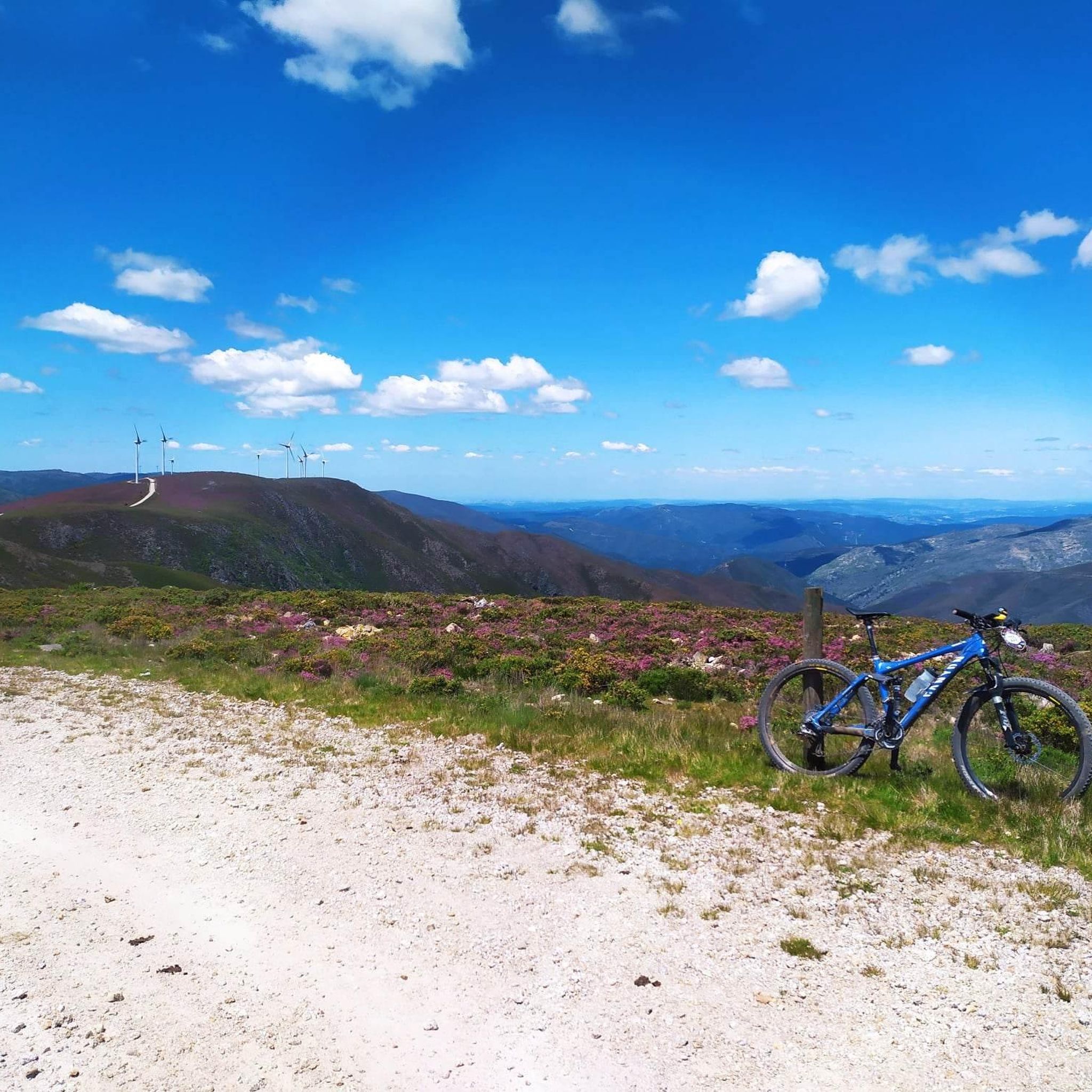
While running, you can enjoy stunning mountain landscapes, diverse forests, and abundant water features. The region is known for its beautiful river beaches, clear river water, and natural pools. You might also encounter viewpoints offering scenic views over valleys, such as those watered by the Ribeira do Candal. Notable highlights nearby include the village of Drave and the View of the Rio Vouga.
Are the running trails in Carvalhais e Candal e Candal e Candal suitable for families?
The region offers a mix of trail difficulties. While some routes are demanding, the diverse landscapes and natural features, including river valleys and natural pools, can be enjoyable for families. For a family-friendly experience, consider shorter, less strenuous sections or the moderate Albufeira dos Drizes loop from Várzea.
Are dogs allowed on the jogging routes in Carvalhais e Candal e Candal e Candal?
The region's rural paths and natural areas, including Baldio de Carvalhais, are generally welcoming to dogs. However, it's always recommended to keep your dog on a leash, especially in areas with wildlife or near agricultural land, and to follow local regulations regarding pet access and waste disposal.
What is the best time of year to go running in Carvalhais e Candal e Candal e Candal?
The region's diverse plant life and water features make it appealing throughout much of the year. Spring and autumn generally offer pleasant temperatures for running, with vibrant flora or beautiful fall colors. Summers can be warm, so early mornings or late afternoons are preferable. Winters are milder but can bring rain, making some rugged sections more challenging.
Where can I park my car when accessing the running trails?
While specific parking facilities for each trail are not detailed, the region is accessible by car. Many trailheads, especially near villages like Candal or Carvalhais, or points of interest like the Playground and Picnic Area at Ponte do Poço de Santiago, often have informal or designated parking areas. It's advisable to check local signage upon arrival.
Is public transport available to reach the jogging routes?
Information on direct public transport to specific trailheads is limited. The region is more easily accessed by private vehicle. However, some villages like Candal might have limited bus services. For detailed public transport options, it's best to consult local transport authorities or plan your route in advance.
What do other runners say about their experience in Carvalhais e Candal e Candal e Candal?
The running routes in Carvalhais e Candal e Candal e Candal are highly rated by the komoot community, with an average score of 3.0 stars. Over 60 runners have used komoot to explore the varied terrain, often praising the scenic backdrop of mountain landscapes, diverse forests, and abundant water features that define the region.
Are there any particularly challenging running routes for experienced runners?
Yes, for experienced runners seeking a challenge, the region offers several difficult routes. The Running loop from Candal is a difficult 6.1-mile (9.8 km) path with a challenging ascent of 1,367 feet (417 meters). Another demanding option is the Janus – Necrópole de Vale D'Anta loop from Vouzela e Paços de Vilharigues, which is significantly longer and features substantial elevation gain.
Most popular routes around Carvalhais e Candal e Candal e Candal
Most popular attractions around Carvalhais e Candal e Candal e Candal

Get inspired with the komoot mobile app


Explore more
Browse the best Running Trails & Routes in other regions.
