The best cycling routes around Tarouca e Dálvares e Dálvares e Dálvares
4.7
(23)
102
riders
5
rides
Touring cycling routes around Tarouca e Dálvares e Dálvares e Dálvares traverse a rural and agricultural municipality in Portugal. The region features diverse landscapes, including serene countryside and the Serra de Santa Helena mountain range, which offers varied terrain. Cyclists can expect routes that navigate agricultural lands, including elderberry fields, and provide access to historical sites. The area's topography includes both gentle slopes and more challenging ascents, particularly within the vicinity of the Douro Valley.
Best touring cycling routes around…
Last updated: July 2, 2026
4.8
(13)
56
riders
39.9km
02:58
840m
840m
Hard bike ride. Very good fitness required. Mostly paved surfaces. Suitable for all skill levels.
4.5
(10)
36
riders
29.5km
02:20
710m
710m
Hard bike ride. Very good fitness required. Mostly paved surfaces. Suitable for all skill levels.

Sign up for free
6
riders
62.3km
04:38
1,410m
1,410m
Hard bike ride. Very good fitness required. Mostly paved surfaces. Suitable for all skill levels.
2
riders
24.3km
01:56
690m
690m
Hard bike ride. Very good fitness required. Mostly paved surfaces. Suitable for all skill levels.
2
riders
88.0km
06:11
1,650m
1,650m
Hard bike ride. Very good fitness required. Mostly paved surfaces. Suitable for all skill levels.
Our route recommendations are based on thousands of hikes, rides, and runs completed by other people on komoot.
Start today with a free account
Your next adventure awaits.
Login or Signup

Tips from the Community

The parking area for motorhomes directly on the Douro River
1
0

The station is so run-down that it's almost in working order again. Old railway vehicles (burned-out steam locomotives and old wagons) are scattered around the large grounds. There are also many disused tracks, including turntables. At the end of the station, the former storage sheds have been converted into wine shops and restaurants.
2
0
The bridge is really well-made. The view from the bridge is beautiful, even though there's still a lot that could be done with the buildings at the end.
2
0

A beautiful church, both inside and out. The courtyard is also worth seeing 😃
2
0
The Duero rises in the Picos de Urbión Mountains in the northern Spanish province of Soria at an altitude of 2,080 meters. It flows through the autonomous community of Castile and León, passing through the cities of Soria, Almazán, Aranda de Duero, Tordesillas, and Zamora. For 112 km, it forms the Spanish-Portuguese border, with the river landscape on both sides located in protected natural parks: Arribes del Duero and Douro Internacional. From here, it flows 213 km into Portugal, passing through the cities of Miranda do Douro, Pinhão, and Peso da Régua, as well as the Alto Douro wine region. The Duero flows into the Atlantic near Porto and Vila Nova de Gaia.
3
0

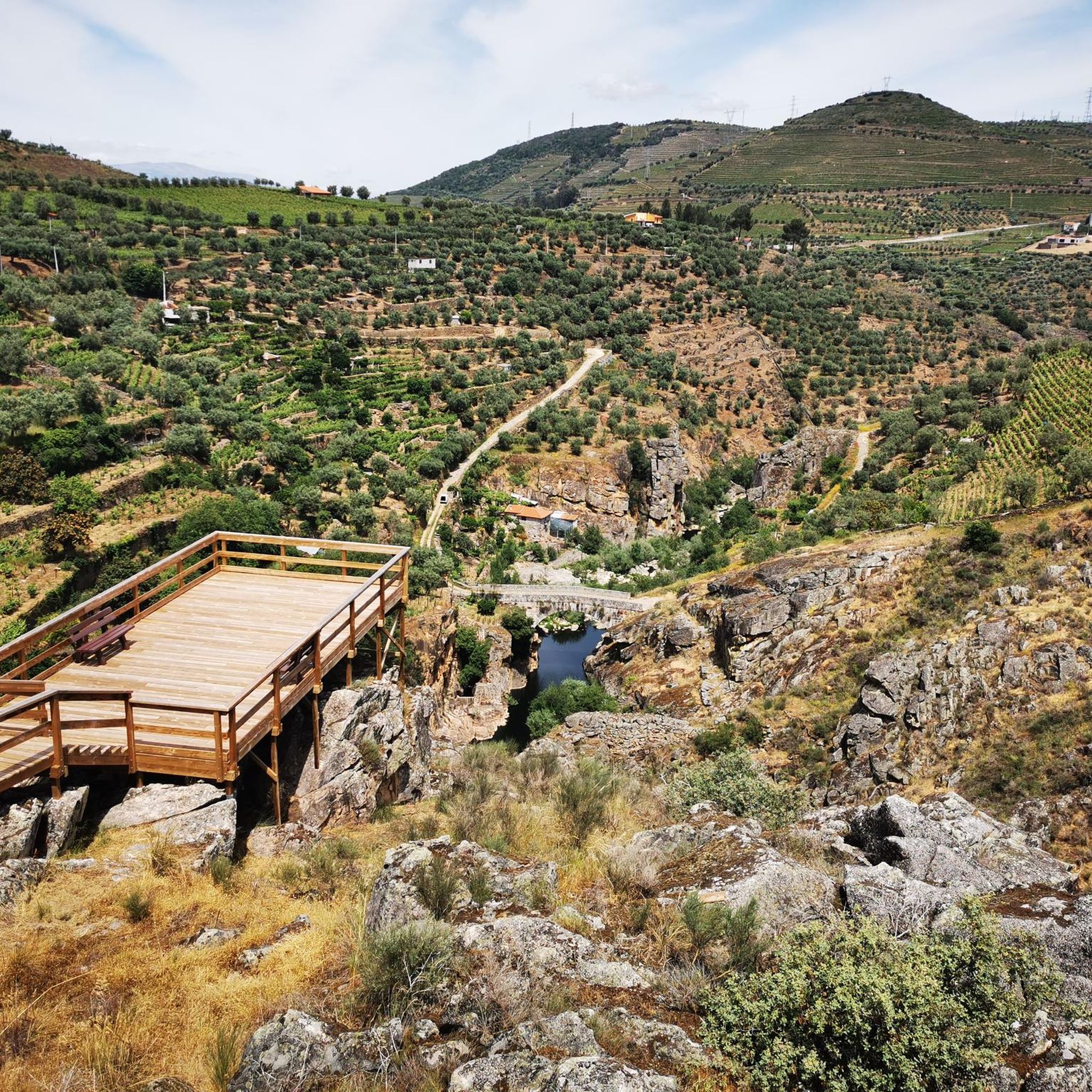
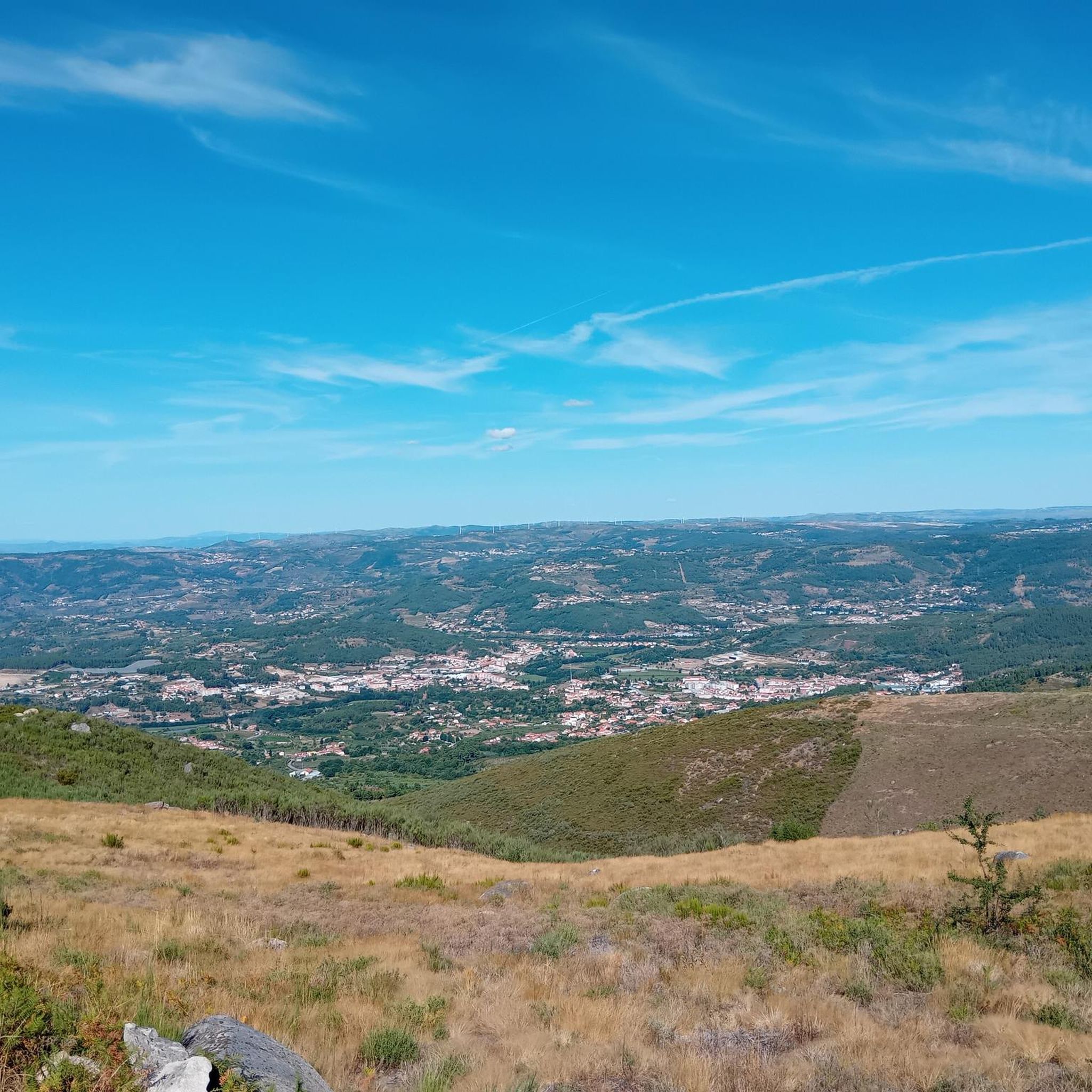
The slopes of the Douro are truly spectacular. Stunning landscapes. 👍🥾
1
0
Thank you for sharing the spectacular photos.👍
0
0

A charming village with a typically medieval feel, the town still consists of a small, romantic line of houses stretching along a narrow path, Rua Principal, Rua Direita, or simply Rua, since it is the only street in the village. Winemaking, particularly elderberry, a strong presence in the village, continues to be the main source of livelihood. The village's two landmarks stand proudly at the entrance to the old Couto de Salzedas. They are the Tower and the Ucanha Bridge, two rare gems of the Douro Heritage. Some scholars suggest that the Ucanha Bridge, a National Monument, was built on an earlier Roman structure, while others suggest that it already existed in the 12th century. In any case, the current structure, in Gothic style, was built in the 15th century. Next to it stands a robust, square-shaped tower, formerly intended not only to guard the entrance to Couto de Salzedas, but also to allow the collection of tolls to which the Monastery was entitled.
1
0
Frequently Asked Questions
How many touring cycling routes are available in Tarouca e Dálvares?
There are 5 touring cycling routes around Tarouca e Dálvares listed on komoot, offering diverse experiences through the region's rural landscapes and historical sites.
What is the general difficulty level of touring cycling routes in Tarouca e Dálvares?
The touring cycling routes in Tarouca e Dálvares are generally considered difficult. They feature significant elevation gains, particularly in areas near the Douro Valley, making them suitable for experienced cyclists seeking a challenge. For example, the Douro Valley Wine Route – Régua Pedestrian Bridge loop from Lamego involves over 790 meters of ascent.
What kind of landscapes can I expect to see while cycling in Tarouca e Dálvares?
Cyclists in Tarouca e Dálvares will traverse a blend of serene rural and agricultural landscapes, including scenic elderberry fields in Dálvares. The routes also offer views of the Douro River and its lush vegetation, as well as the more challenging terrain of the Serra de Santa Helena mountain range.
Are there any historical landmarks or attractions along the cycling routes?
Yes, the region is rich in historical and cultural attractions. You can encounter sites like the remarkable Ucanha Tower and Bridge, several well-preserved Romanic bridges, and various Pelourinhos (Pillories). The nearby Lamego Castle and the Sanctuary of Nossa Senhora dos Remédios also offer panoramic views and are accessible from some routes.
What are some notable viewpoints accessible by bike in the area?
For stunning vistas, the Miradouro e baloiço do Cristo Rei (Christ the King Viewpoint and Swing) offers sweeping views over Tarouca. Additionally, many routes, such as the Douro Valley Wine Route – View of the Douro Valley loop from Gosende, provide scenic overlooks of the Douro Valley and its surrounding landscapes.
What do other touring cyclists say about the routes in Tarouca e Dálvares?
The touring cycling routes in Tarouca e Dálvares are highly rated by the komoot community, with an average score of 4.7 out of 5 stars from over 19 reviews. Cyclists often praise the challenging ascents, the beautiful rural scenery, and the historical points of interest along the way.
What is the typical length of touring cycling routes in Tarouca e Dálvares?
The routes vary in length, with options ranging from approximately 24.5 km to 87.5 km. For example, the Bike loop from Lamego is about 24.5 km, while the Douro Valley – Régua Pedestrian Bridge loop from Caldas de Moledo extends to 87.5 km, offering options for different endurance levels.
Are there any circular touring cycling routes available?
Yes, many of the touring cycling routes in Tarouca e Dálvares are designed as loops, allowing you to start and end at the same point. Examples include the Douro Valley Wine Route – Régua Pedestrian Bridge loop from Lamego and the Régua Train Station – Original Douro Hotel loop from Lamego.
Is Tarouca e Dálvares suitable for family-friendly cycling?
While the listed touring cycling routes are generally classified as 'difficult' due to significant elevation, the region does offer other outdoor amenities. The Parque Ribeirinho de Tarouca (Riverside Park) is ideal for relaxed strolls and picnics, and may offer easier, shorter paths suitable for families, though specific family-friendly cycling routes are not highlighted in the touring category.
What is the best time of year for touring cycling in Tarouca e Dálvares?
The region's climate is generally favorable for outdoor activities. Spring and autumn typically offer milder temperatures, which are ideal for touring cycling, allowing you to enjoy the landscapes without the extreme heat of summer or the cooler, wetter conditions of winter.
Are there options for parking near the touring cycling routes?
As a rural municipality, parking is generally available in towns and villages that serve as starting points for routes, such as Lamego or Gosende. It's advisable to check specific starting points for designated parking areas.
What kind of cultural experiences can I find in Tarouca e Dálvares beyond cycling?
Beyond cycling, you can explore significant historical monasteries like the Mosteiro de São João de Tarouca and the Mosteiro de Santa Maria de Salzedas. The Casa do Paço de Dalvares, a medieval house, now hosts the Museu do Espumante (Sparkling Wine Museum), offering a unique cultural experience related to the region's wine heritage.
Most popular routes around Tarouca e Dálvares e Dálvares e Dálvares
Most popular attractions around Tarouca e Dálvares e Dálvares e Dálvares

Get inspired with the komoot mobile app


Explore more
Browse the best Cycling routes in other regions.
