The best walks and hikes around Calde
5.0
(1)
8
hikers
2
hikes
Hiking around Calde offers diverse trails through varied landscapes. The region is characterized by a mix of forests, open meadows, and serene waters, often found within unique geological formations like collapsed volcanoes. Trails frequently follow old logging and ranching roads, providing access to both high-elevation areas and tranquil natural havens. The terrain includes gentle gradients and some more challenging climbs, with elevations that can provide panoramic views.
Best hiking trails around Calde
- The most popular hiking route is Hiking loop…
Last updated: August 11, 2026
1
hikers
10.4km
03:07
340m
340m
Moderate hike. Good fitness required. Easily-accessible paths. Suitable for all skill levels.
5
hikers
9.09km
02:22
60m
60m
Moderate hike. Good fitness required. Easily-accessible paths. Suitable for all skill levels.

Sign up for free
5.0
(1)
2
hikers
9.17km
02:38
220m
220m
Moderate hike. Good fitness required. Easily-accessible paths. Suitable for all skill levels.
Our route recommendations are based on thousands of hikes, rides, and runs completed by other people on komoot.
Start today with a free account
Your next adventure awaits.
Login or Signup
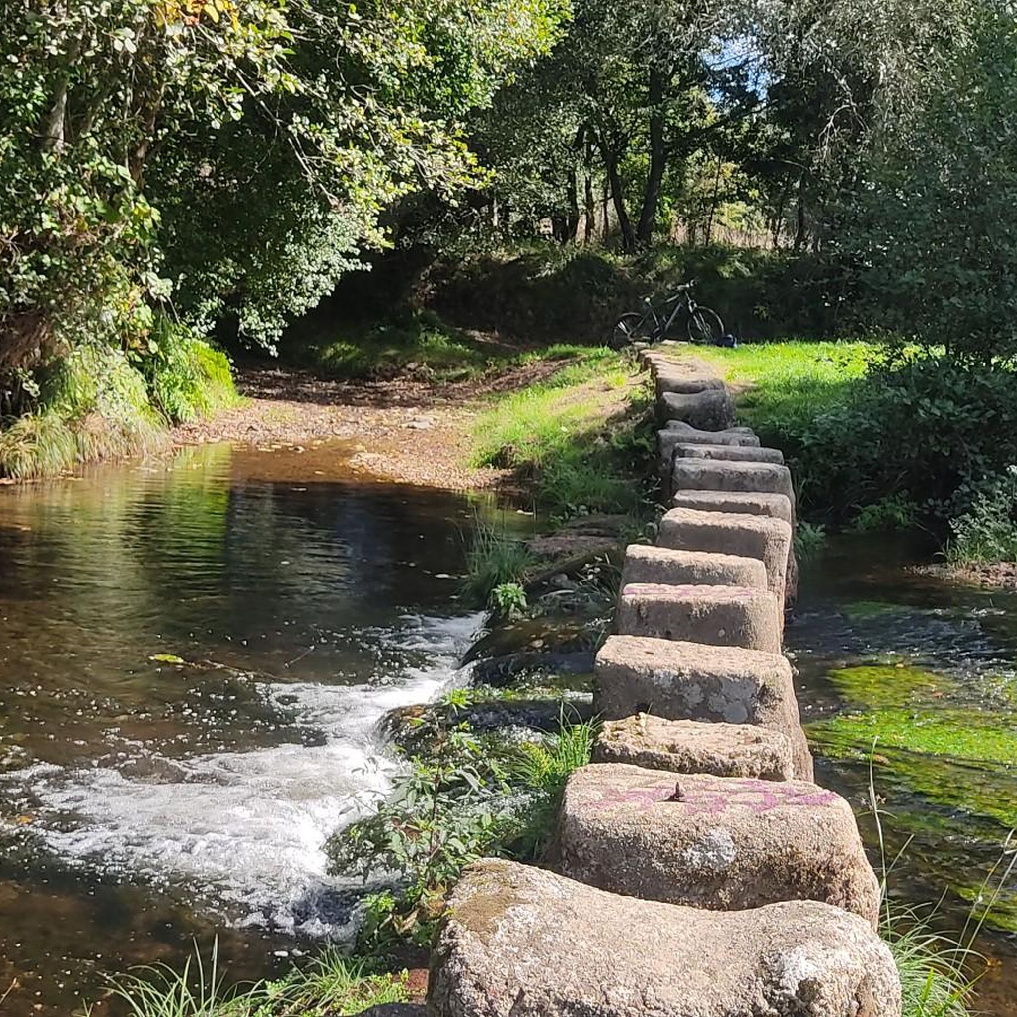
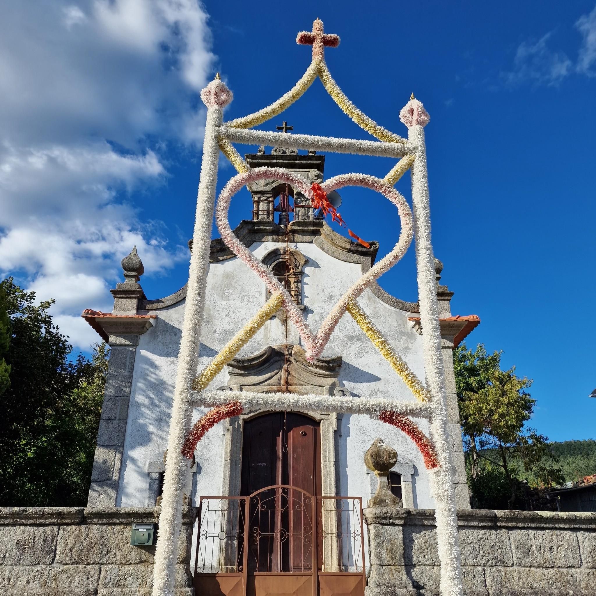

Tips from the Community

Abandoned house ruins on the side of the road.
0
1
Historic water source and washing place in Côta.
0
0
Historic water source and washing place in Côta.
0
0
Historical crossroads in Côta.
0
0
Forest fire monitoring tower.
0
0
Small peak near Zonho.
0
0
Quiet vantage point with a great view of the landscape.
0
0
Small simple village church.
0
0
Frequently Asked Questions
What kind of landscapes can I expect to see while hiking in Calde?
Calde offers a diverse range of landscapes, from expansive grasslands and open meadows to dense forests. The region is characterized by unique geological formations, including areas that are the result of volcanic activity. You'll find trails winding through serene waters, alongside lakes and streams, providing a rich natural experience.
Are there circular hiking routes available in Calde?
Yes, Calde features several excellent circular hiking routes. For example, you can explore the Hiking loop from Figueiredo das Donas, which is 6.5 miles (10.4 km) long. Another popular option is the Chapel of São Silvestre – Taleiras Geodetic Vertex loop from Cota, covering 5.7 miles (9.2 km) through varied terrain.
What are the typical elevations and difficulties of hikes in Calde?
The hikes in Calde offer a mix of terrain. Many routes feature moderate difficulty, with elevation gains that can range from gentle to more significant. For instance, the Hiking loop from Figueiredo das Donas has an elevation gain of over 340 meters, while the Porta do Sol Post – Forum Viseu loop from Rio de Loba has a more gentle gain of around 64 meters. This variety ensures options for different fitness levels.
What do other hikers say about the trails in Calde?
The trails in Calde are highly regarded by the komoot community, with an average rating of 5.0 stars from reviews. Hikers often praise the varied terrain, which includes forests, open meadows, and unique volcanic landscapes, making for an engaging outdoor experience. Over 8 hikers have already used komoot to explore the area.
Are there any interesting landmarks or points of interest to see along the trails?
Yes, there are several interesting points of interest in and around Calde. You might encounter historical sites like the Sé Cathedral Square (Praça da Sé), Viseu, or enjoy scenic views such as the View of the Rio Vouga. Some trails also pass by unique spots like Bodiosa Station or offer convenient stops like a Bar along the Vouga Ecopista.
What is the best time of year to go hiking in Calde?
The best time to hike in Calde depends on your preferences. The region's high elevation areas can offer stunning panoramic views, but also require mindfulness of altitude. During the summer season (approximately May to November), backcountry access is often available, while frontcountry trails are open year-round, providing opportunities for snowshoeing and cross-country skiing in winter.
Are there options for public transport to reach hiking trailheads in Calde?
While specific public transport details for individual trailheads in Calde are not extensively documented, many hiking areas in similar regions often have limited direct public transport access. It is generally advisable to check local transport schedules or consider personal vehicle access for reaching trail starting points.
Are there any easy or accessible trails suitable for beginners or those seeking a gentle walk?
While the listed routes are generally of moderate difficulty, the region's diverse trails include options that wind through open areas and serene waters, which can be less strenuous. For a comprehensive experience, some trails showcase diverse landscapes including forests, lakes, and meadows, offering a gentler pace for nature enthusiasts.
Can I find places to eat or drink near the hiking trails in Calde?
Yes, depending on your chosen route, you might find amenities nearby. For instance, a Bar along the Vouga Ecopista is listed as a point of interest, suggesting opportunities for refreshments. Exploring towns and villages close to trailheads will likely offer cafes or other dining options.
What should I be aware of regarding the high elevation in Calde?
Some parts of Calde, particularly areas like Valles Caldera, are at high elevations, often above 8,000 feet. Hikers should be mindful of the altitude, especially if not accustomed to it. It's advisable to hydrate well, take breaks, and be aware of potential symptoms of altitude sickness. The high elevation contributes to the stunning panoramic views but requires preparation.
Are there any specific trails that highlight the volcanic features of Calde?
The region of Calde is known for its unique volcanic landscapes, being the result of a collapsed volcano. While specific trails are not named for their volcanic features in the provided data, many routes traverse this geological formation, allowing hikers to explore the distinctive terrain shaped by ancient eruptions. Look for trails that mention varied landscapes and geological interest.
Most popular routes around Calde
Most popular attractions around Calde

Get inspired with the komoot mobile app


Explore more
Browse the best Hikes in other regions.
