The best MTB trails around Frömmstedt
4.9
(42)
120
riders
21
rides
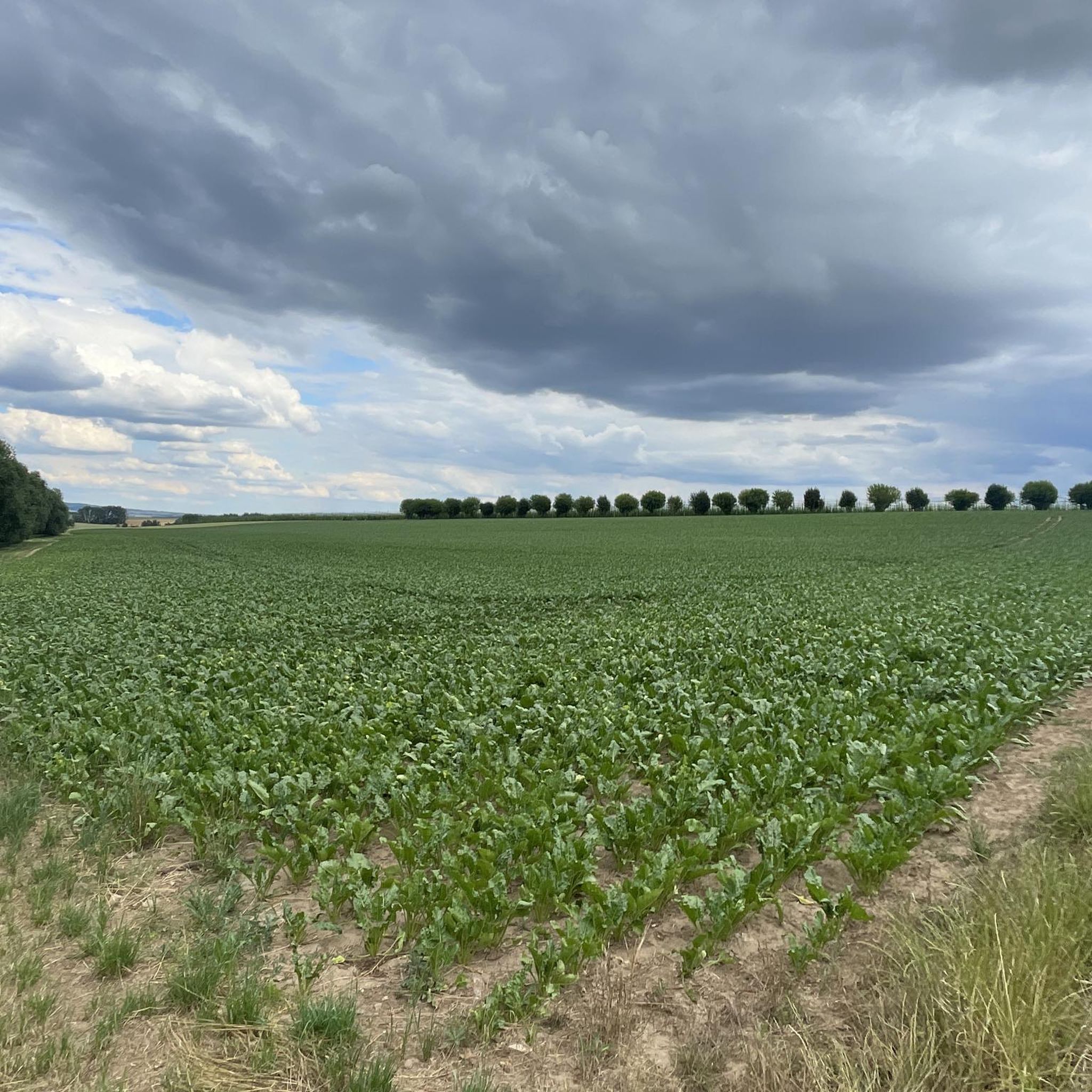
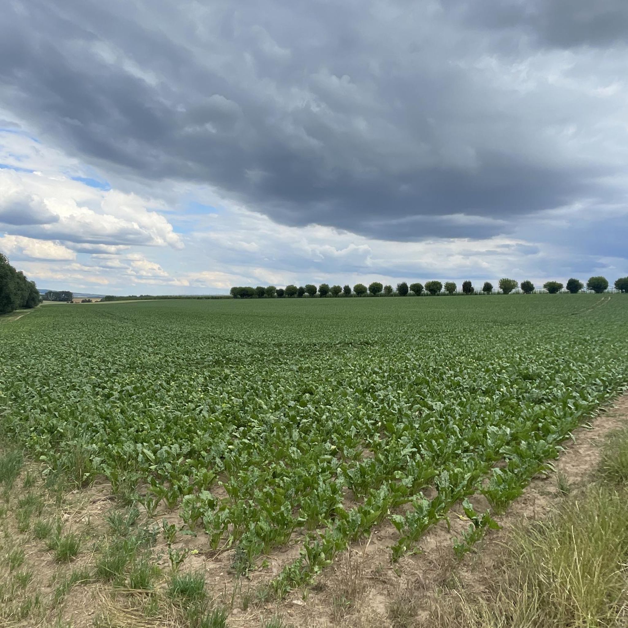
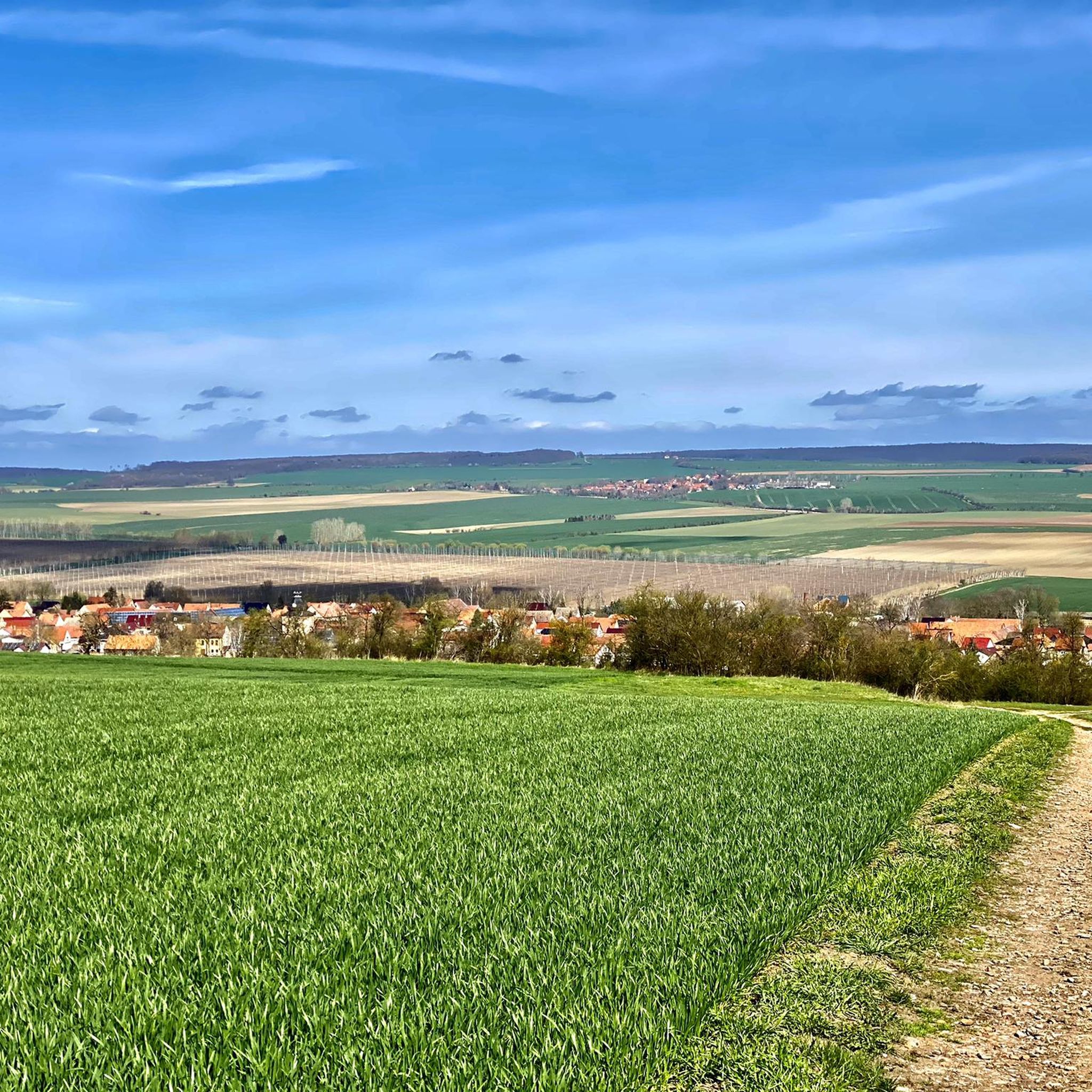
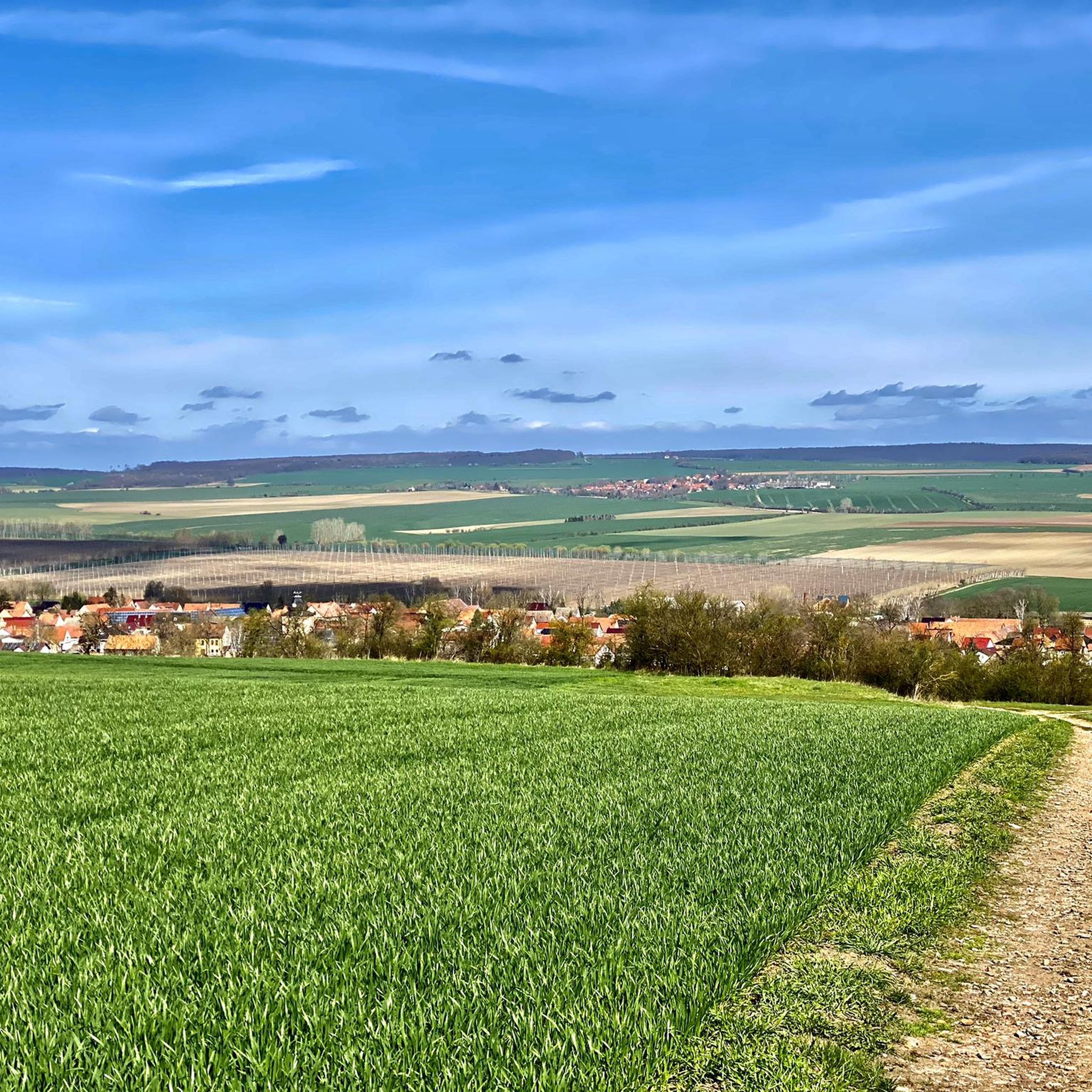
Mountain biking around Frömmstedt offers routes through river valleys and floodplains, with some trails ascending into surrounding hills. The landscape is characterized by the Unstrut river system and its associated cycle paths. This region provides a mix of terrain, from flat riverside sections to more challenging climbs.
Best mountain bike trails around Frömmstedt
- The most popular mountain bike trail is Totenberg Trail – Unstrut-Werra Cycle Path loop from Günserode, a 30.4 miles (48.9 km) trail that takes 3 hours 29 minutes to complete. This moderate route features significant elevation gain through varied terrain.
- Another top favourite among local mountain bikers is Unstrut Cycle Path – Gründelsloch Spring loop from Kannawurf, a moderate 26.0 miles (41.9 km) path. This route follows the Unstrut Cycle Path, passing by the Gründelsloch Spring.
- Local mountain bikers also love the Mill Bridge – Unstrut Cycle Path loop from Weißensee, a 13.6 miles (21.8 km) trail leading through the Unstrut river landscape, often completed in about 1 hour 15 minutes.
- Mountain biking around Frömmstedt is defined by river valleys, floodplains, and cycle paths. The network offers options for different ability levels, from easy riverside rides to more demanding routes with elevation.
- The routes in Frömmstedt are highly rated by the komoot community with an average score of 4.9 stars from over 50 reviews. More than 150 mountain bikers have used komoot to explore Frömmstedt's varied terrain.
Last updated: July 8, 2026
5.0
(4)
23
riders
49.3km
03:28
590m
590m
Moderate mountain bike ride. Good fitness required. Suitable for all skill levels.
5.0
(1)
9
riders
41.9km
02:41
250m
250m
Moderate mountain bike ride. Good fitness required. Suitable for all skill levels.

Sign up for free
5.0
(2)
7
riders
22.5km
01:18
90m
90m
Easy mountain bike ride. Great for any fitness level. Suitable for all skill levels.
5.0
(1)
4
riders
35.8km
02:20
260m
260m
Moderate mountain bike ride. Good fitness required. Advanced riding skills necessary.
4.5
(2)
5
riders
29.6km
01:48
160m
160m
Moderate mountain bike ride. Great for any fitness level. Advanced riding skills necessary.
Get access to more routes and recommendations from other explorers.
Sign up for free
Already have an account?
Our route recommendations are based on thousands of hikes, rides, and runs completed by other people on komoot.
Start today with a free account
Your next adventure awaits.
Login or Signup
Tips from the Community


Beautiful and historic bridge.
0
0

When we finally arrived at the roundabout, we were amazed and delighted by the magnificent view. The Sondershausen roundabout is a semicircular structure built in 1910, with a World War II memorial dedicated in 1929, located on the Hainleite ridge. Located at 390 meters above sea level, it serves as a vantage point, including views of Sondershausen's town center and the Harz Mountains.
8
0

Lossa crossing, bridge near Leubingen
3
0


The Possenturm (location) is considered the oldest and tallest half-timbered observation tower in Europe. The observation tower was built in 1781 within 11 months and stands on a quarry stone base. The tower's height measures 42.18 m. It also served as a landmark in the surveying of the Schwarzburg region. Hikers could also see the Possenturm from the highest mountain in the Harz Mountains, the Brocken, from the "tower of the inn," "sometimes with, sometimes without a telescope." If you "turn right [...] you can see the ruins of Kyffhausen Castle in the Golden Meadows, the Possenturm near Sondershausen, and the Ettersberg near Weimar," according to Friedrich Gottschalck's 1823 pocketbook for travelers to the Harz Mountains. Source: Wikipedia
8
0


Playgrounds, animal enclosures, climbing park, hiking trails, something for everyone
0
0
Frequently Asked Questions
How many mountain bike trails are available around Frömmstedt?
There are over 20 mountain bike trails around Frömmstedt listed on komoot. These routes offer a variety of experiences, from easy riverside rides to more challenging climbs into the surrounding hills.
Are there easy mountain bike trails suitable for beginners in Frömmstedt?
Yes, Frömmstedt offers several easy mountain bike trails perfect for beginners or those seeking a relaxed ride. An example is the Mill Bridge – Unstrut Cycle Path loop from Weißensee, which is 13.6 miles (21.8 km) long and leads through the scenic Unstrut river landscape.
What kind of terrain can I expect on mountain bike trails in Frömmstedt?
The terrain around Frömmstedt is diverse, characterized by river valleys and floodplains, particularly along the Unstrut river system. You'll find sections of dedicated cycle paths, as well as trails that ascend into the surrounding hills, offering a mix of flat stretches and more challenging climbs.
Are there any challenging mountain bike routes for experienced riders?
While the region is known for its river valleys, there are routes that offer significant elevation gain for more experienced riders. The Totenberg Trail – Unstrut-Werra Cycle Path loop from Günserode is a moderate route that features notable climbs and varied terrain over 30.4 miles (48.9 km).
What are some popular loop trails for mountain biking in Frömmstedt?
Many routes in the Frömmstedt area are designed as loops, allowing you to start and end in the same location. Popular options include the Unstrut Cycle Path – Gründelsloch Spring loop from Kannawurf and the Unstrut Floodplains – Lossa Bridge at Leubingen loop from Günstedt.
What can I see along the mountain bike trails around Frömmstedt?
The trails often pass by interesting natural and historical sites. You can explore highlights such as the Thuringian Gate (Thüringer Pforte), the Steep Slope of the Wipper (Wipperdurchbruch), or historical sites like Kannawurf Castle and Renaissance Garden.
What do other mountain bikers enjoy most about Frömmstedt's trails?
The mountain bike trails around Frömmstedt are highly rated by the komoot community, with an average score of 4.9 stars from over 50 reviews. Riders often praise the varied terrain, from scenic riverside paths to more challenging sections with elevation, and the well-integrated cycle path network.
Are there any trails that pass by natural springs or unique geological features?
Yes, some routes incorporate natural highlights. For instance, the Unstrut Cycle Path – Gründelsloch Spring loop from Kannawurf passes directly by the Gründelsloch Spring, a notable natural feature in the region. Another route, the Taschenborn Spring – Glacial erratic pyramid loop from Kannawurf, also features a spring and a unique geological formation.
What is the best time of year for mountain biking in Frömmstedt?
Spring and autumn generally offer the most pleasant conditions for mountain biking in Frömmstedt, with milder temperatures and beautiful scenery. Summer can also be enjoyable, especially along the shaded river paths, but be prepared for warmer weather. Winter riding is possible but may be affected by snow or ice, particularly on higher ground.
Are the mountain bike trails in Frömmstedt generally well-maintained?
The trails, especially those integrated into the Unstrut Cycle Path network, are typically well-maintained. However, conditions can vary, particularly after heavy rain or during specific seasons. It's always advisable to check recent komoot tour comments or local weather forecasts before heading out.
Are there options for longer mountain bike tours in the Frömmstedt area?
Yes, Frömmstedt offers several longer routes for those looking for extended rides. The Totenberg Trail – Unstrut-Werra Cycle Path loop from Günserode is a substantial 30.4 miles (48.9 km) route, and the Unstrut Cycle Path – Gründelsloch Spring loop from Kannawurf covers 26.0 miles (41.9 km), providing good options for longer excursions.
Can I find family-friendly mountain bike routes in Frömmstedt?
Many of the routes along the Unstrut river system are relatively flat and well-suited for families. The easier trails, such as the Mill Bridge – Unstrut Cycle Path loop from Weißensee, are excellent choices for family outings, offering scenic views without overly challenging terrain.
Most popular attractions around Frömmstedt

Get inspired with the komoot mobile app


Explore more
Browse the best MTB trails in other regions.
