The 17 Most Amazing Peaks around Hofkirchen im Mühlkreis
Best mountain peaks around Hofkirchen im Mühlkreis are found within a landscape characterized by elevations ranging from approximately 280 to 810 meters above sea level. This region in the Upper Mühlviertel of Austria features a varied topography, offering numerous elevated points and scenic viewpoints. The area is known for its extensive hiking trails that lead to these higher elevations, providing wide-ranging perspectives of the surrounding natural environment. Hofkirchen im Mühlkreis extends from plateaus down to the Danube lowlands, offering diverse…
Last updated: July 7, 2026
Haugstein Summit (895 m)
Highlight • Summit
Translated by Google •
Tip by

Eidenberger Lusen Summit
Highlight • Summit
Translated by Google •
Tip by
Sign up now to discover places like this
Get recommendations on the best single tracks, peaks, & plenty of other exciting outdoor places.
Sign up for free
Ameisberg Tower
Highlight • Viewpoint
Translated by Google •
Tip by

Mayrhofberg Observation Tower
Highlight • Viewpoint
Translated by Google •
Tip by

Lutzenkreuz
Highlight • Summit
A popular destination for everyone because it is easy to reach...on foot or by bike. A wonderful place to rest or for a bike ride.
Translated by Google •
Tip by

Sign up for free to discover even more peaks around Hofkirchen im Mühlkreis.
Sign up for free
Already have an account?
Start today with a free account
Your next adventure awaits.
Login or Signup
Popular around Hofkirchen im Mühlkreis

Ruperti Trail – Hike from Austria's Bohemian Forest to the Carnic Alps

Danube Trail – Legendary long-distance hiking along the Danube River

Simply amazing – 13 hikes along the Donausteig
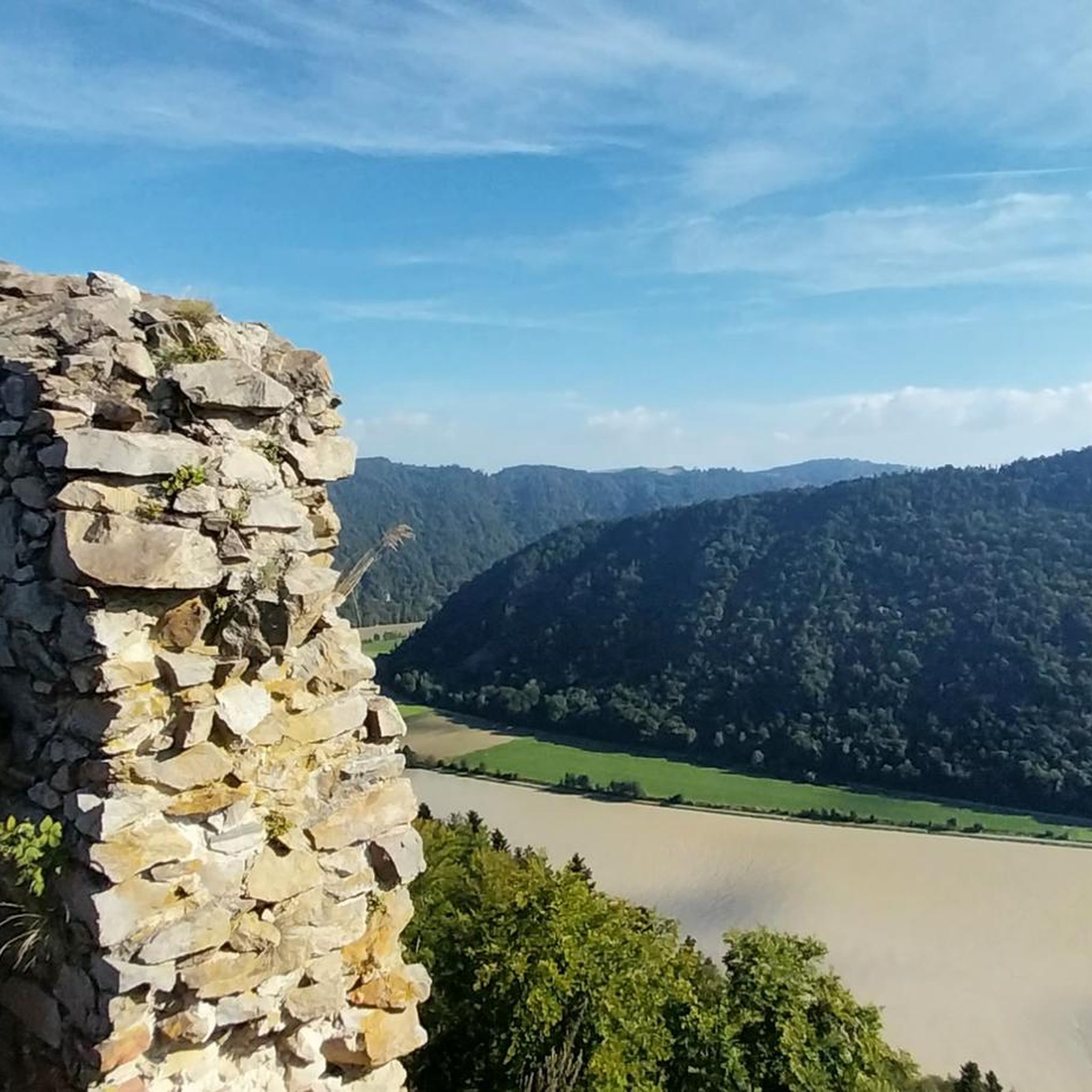
Cycling around Hofkirchen im Mühlkreis
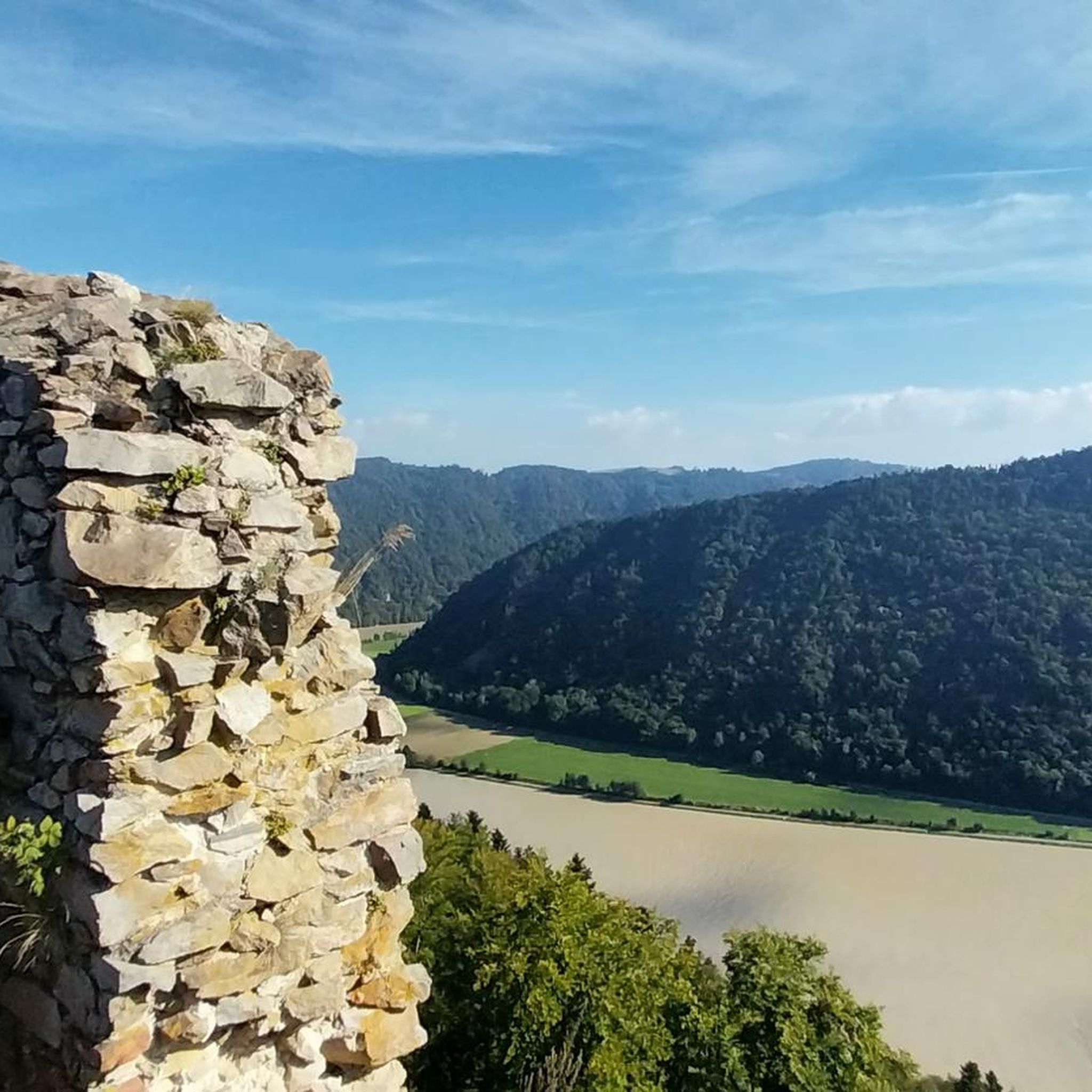
Hiking around Hofkirchen im Mühlkreis
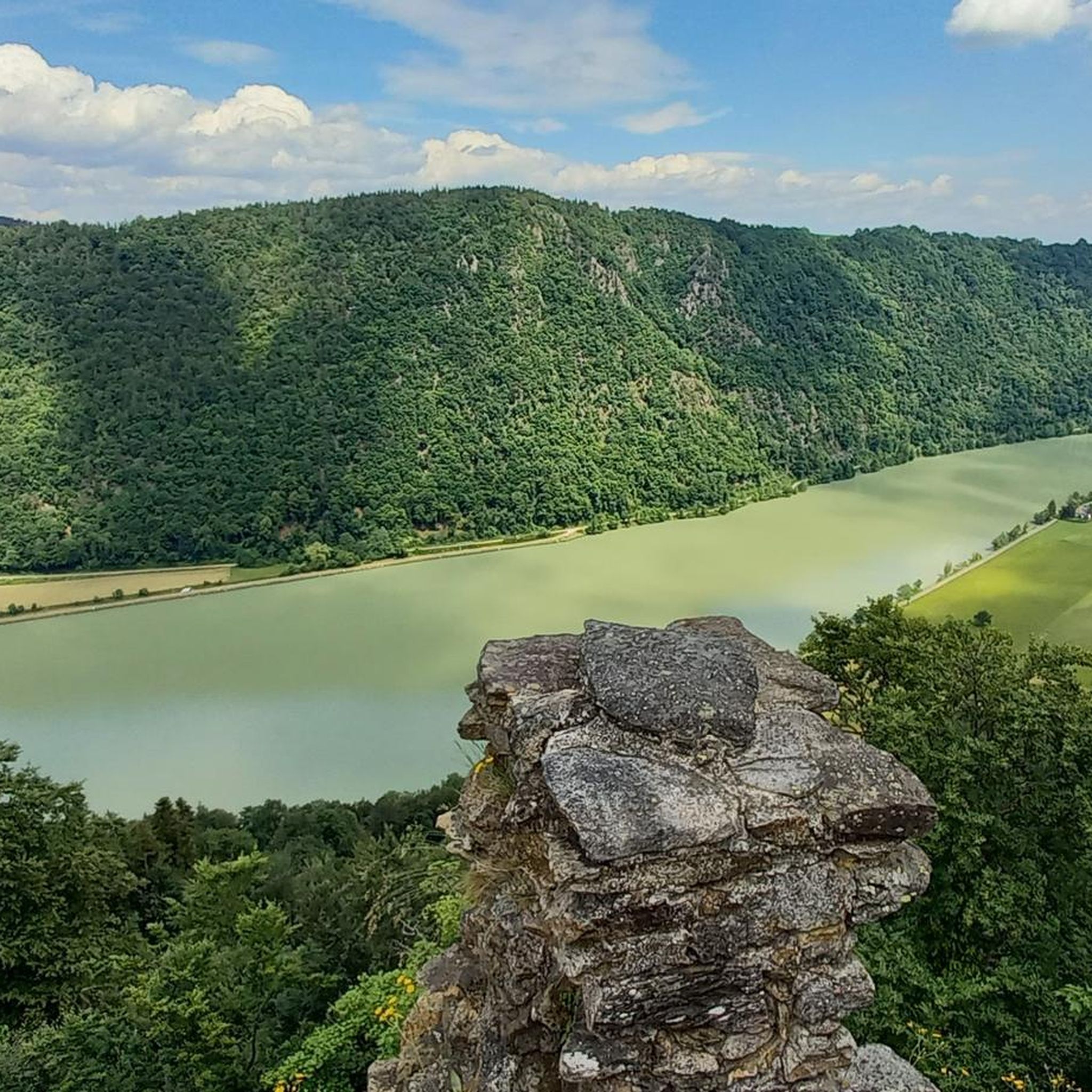
Road Cycling Routes around Hofkirchen im Mühlkreis
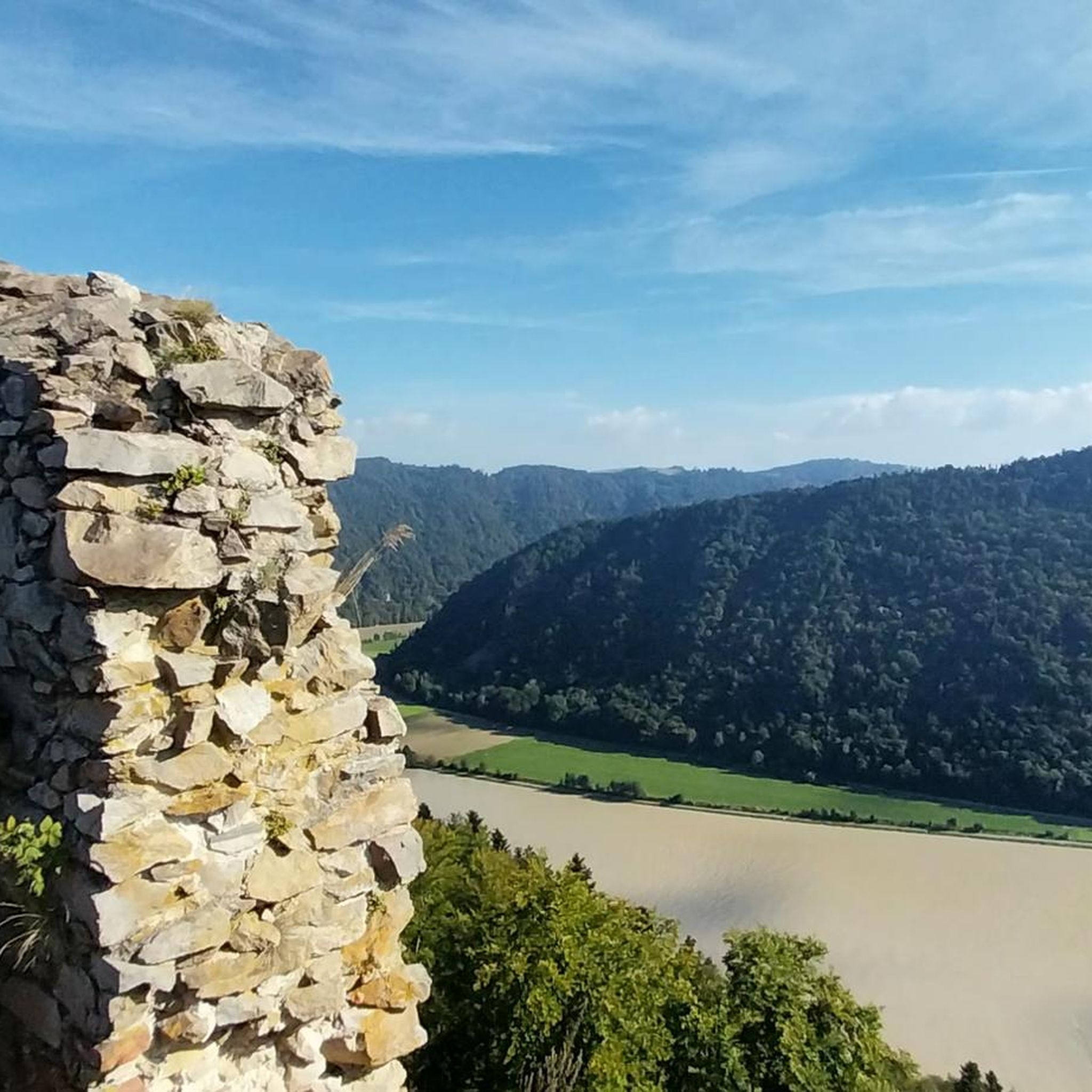
MTB Trails around Hofkirchen im Mühlkreis
Running Trails around Hofkirchen im Mühlkreis

Mountain Hikes around Hofkirchen im Mühlkreis

Gravel biking around Hofkirchen im Mühlkreis
Other adventures around Hofkirchen im Mühlkreis


Tips from the Community

The Mayrhofberg is adorned with a tower and a summit cross with some benches.
2
0

Well, the hike went okay. The observation tower is nice with a nice view, but the trail is very poorly signposted.
2
0
The Lutzenkreuz is the highest elevation in the Mühlviertel municipality of Putzleinsdorf and is beautifully situated in the forest with a lovely rest area.
0
1

Short climb to push, but it's definitely worth it 🤩
0
0

Beautiful hiking trails and also an experience with the mountain bike
3
0

The Haugstein is the highest elevation in the Innviertel
1
1

Unfortunately mostly closed as it is privately owned.
4
0
The Haugstein is 895 m above sea level. A. the highest mountain in the Sauwaldes in the Upper Austrian district of Schärding (Innviertel).
6
0
Frequently Asked Questions
What are some of the most prominent elevated points and viewpoints around Hofkirchen im Mühlkreis?
While Hofkirchen im Mühlkreis features a lively landscape with numerous elevated points rather than traditional peaks, several stand out. These include the Ameisberg Tower, offering panoramic views from 941 meters, and the Eidenberger Lusen Summit at 733 meters with a nearly 180-degree view. Another notable spot is the Mayrhofberg Observation Tower, the highest elevation in the Eferding district at 655 meters.
Are there family-friendly elevated points or trails in the Hofkirchen im Mühlkreis area?
Yes, several elevated points and trails are suitable for families. The Eidenberger Lusen Summit and Ameisberg Tower are both categorized as family-friendly. Additionally, the Lutzenkreuz, the highest point in Putzleinsdorf, is easily accessible for a family outing. For easy hiking routes, you can explore options like the 'Hiking loop from Waldkirchen am Wesen' or the 'Bockbach Waterfall loop from Kling' found in the Easy hikes around Hofkirchen im Mühlkreis guide.
What historical sites or ruins can be found at elevated viewpoints in the region?
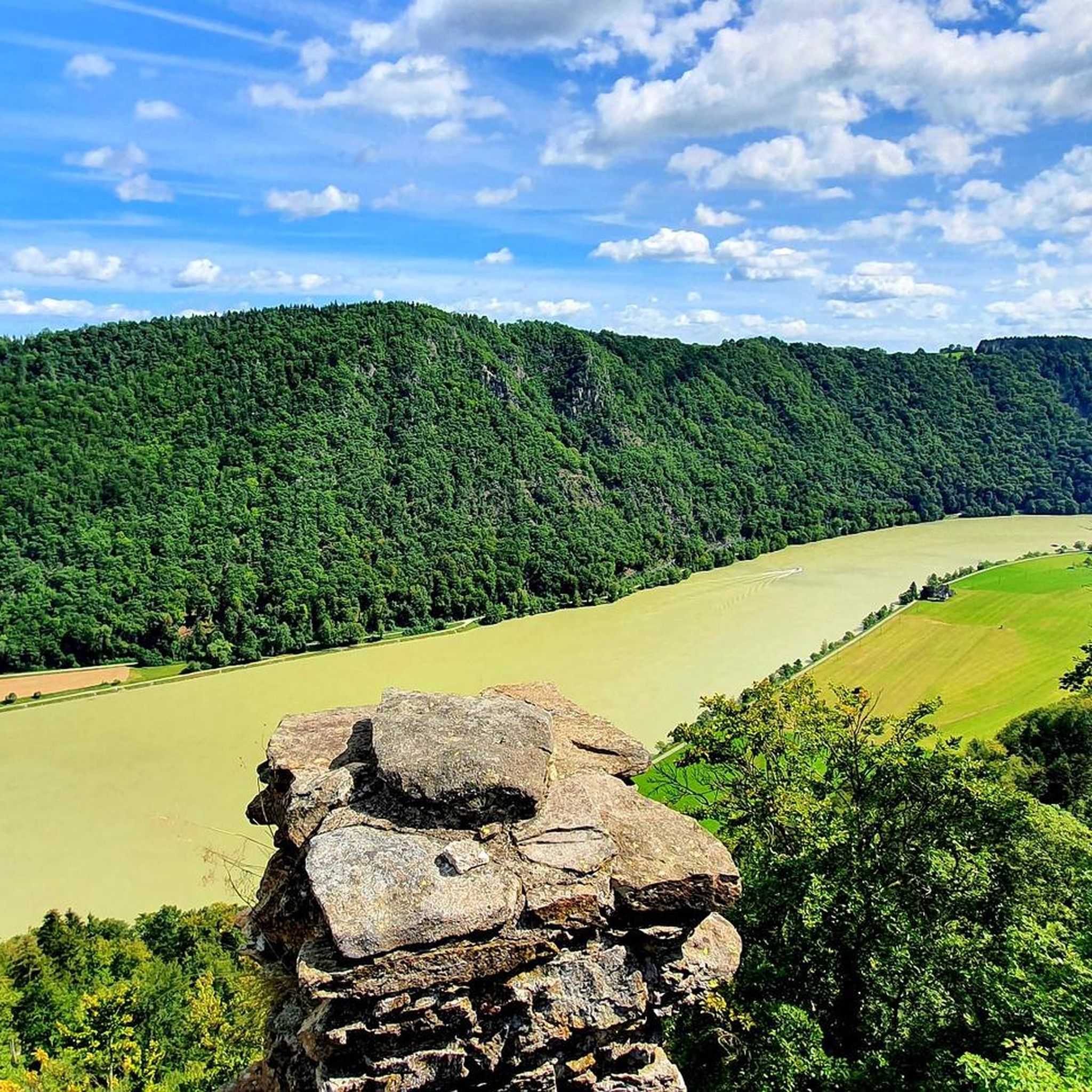
The Ameisberg Tower is considered a historical site. Beyond that, the Mayrhofberg Observation Tower, built in 1884, also offers a glimpse into the region's past. For a significant historical experience, consider visiting Burgruine Haichenbach. While not a 'peak' in the traditional sense, its location provides a breathtaking panoramic view of the Schlögener Donauschlinge (Danube Loop) and is steeped in history, first documented in 1160.
What kind of views can I expect from the elevated points around Hofkirchen im Mühlkreis?
The elevated points in Hofkirchen im Mühlkreis offer diverse and expansive views. From the Eidenberger Lusen Summit, you can enjoy a nearly 180-degree panorama towards the Dreisesselberg massif and the Rannastausee. The Ameisberg Tower provides wide-ranging panoramic views of the surrounding landscape. The region is also known for picturesque views of the Danube lowlands and the famous Schlögener Donauschlinge from various elevated sections along hiking trails.
Are there challenging hiking trails to reach the higher elevations in Hofkirchen im Mühlkreis?
Yes, there are challenging hiking opportunities. The Haugstein Summit, at 895 meters, is the highest mountain in the Sauwald and the entire Donausteig, offering a more demanding ascent. You can find several moderate to difficult routes in the Hiking around Hofkirchen im Mühlkreis guide, such as the 'Marsbach Castle – View of Steinerfelsen loop from Wiesen' which is rated difficult.
What outdoor activities, besides hiking, can I do near the elevated areas?
Besides hiking, the region offers opportunities for gravel biking. You can explore various routes, including challenging ones like the 'View of Passau's Old Town – Schlögen Loop loop from Engelhartszell an der Donau' or moderate options like the 'Pupping Franciscan Monastery – Aschach on the Danube loop from Steinwand'. More details can be found in the Gravel biking around Hofkirchen im Mühlkreis guide.
What is the highest point in the municipality of Putzleinsdorf?
The highest point in the municipality of Putzleinsdorf is the Lutzenkreuz, standing at 907 meters. It's a popular destination, easily accessible on foot or by bike, and offers a wonderful place to rest.
What is the best time of year to visit the elevated points and go hiking in Hofkirchen im Mühlkreis?
The region's extensive hiking trails and scenic viewpoints are best enjoyed during the warmer months, typically from spring through autumn. This allows for comfortable exploration of the gentle hilly landscapes and clear views from the elevated areas. While specific winter hiking information isn't detailed, the primary appeal lies in enjoying nature and active recreation when conditions are favorable for outdoor activities.
Are there any specific natural features or monuments to look out for on the trails?
Yes, the region is rich in natural features. The Haugstein Summit features individual granite blocks along its wooded ridge. The Eidenberger Lusen Summit has a summit cross made of flat granite stones. The entire area is characterized by a varied topography, including extensive forests and idyllic plateaus, and the stunning Schlögener Donauschlinge is a major natural highlight visible from many viewpoints.
Where can I find information about parking for hiking trails in Hofkirchen im Mühlkreis?
While specific parking locations aren't detailed for every trail, many popular hiking routes around Hofkirchen im Mühlkreis are designed with accessibility in mind. It's common for trailheads, especially those leading to well-known viewpoints or starting points for circular walks, to have designated parking areas. For detailed information on specific routes, checking the individual tour descriptions within the Hiking around Hofkirchen im Mühlkreis guide is recommended.
What do visitors enjoy most about the elevated points and trails in Hofkirchen im Mühlkreis?
Visitors highly appreciate the diverse hiking trails and the beautiful natural environment. The wide-ranging perspectives from elevated sections, such as the panoramic views from Ameisberg Tower or the 180-degree vista from Eidenberger Lusen Summit, are frequently praised. The opportunity for relaxation and active recreation amidst the gentle hilly landscapes of the Mühlviertel is a key draw.
Are there any circular walks that include elevated points in the region?
Yes, the region offers several circular walks that incorporate elevated sections and viewpoints. For example, the 'Marsbachrunde' is mentioned as a trail allowing visitors to experience the varied topography. Within the Hiking around Hofkirchen im Mühlkreis guide, you can find routes like the 'Marsbach Castle – View of Steinerfelsen loop' or the 'Bockbach Waterfall loop' which are designed as circular paths.
Most popular routes around Hofkirchen im Mühlkreis
Most popular attractions around Hofkirchen im Mühlkreis

Get inspired with the komoot mobile app


Explore more
See even more amazing summits around Hofkirchen im Mühlkreis with these guides:
