The best walks and hikes around Freimettigen
4.5
(889)
6,451
hikers
476
hikes
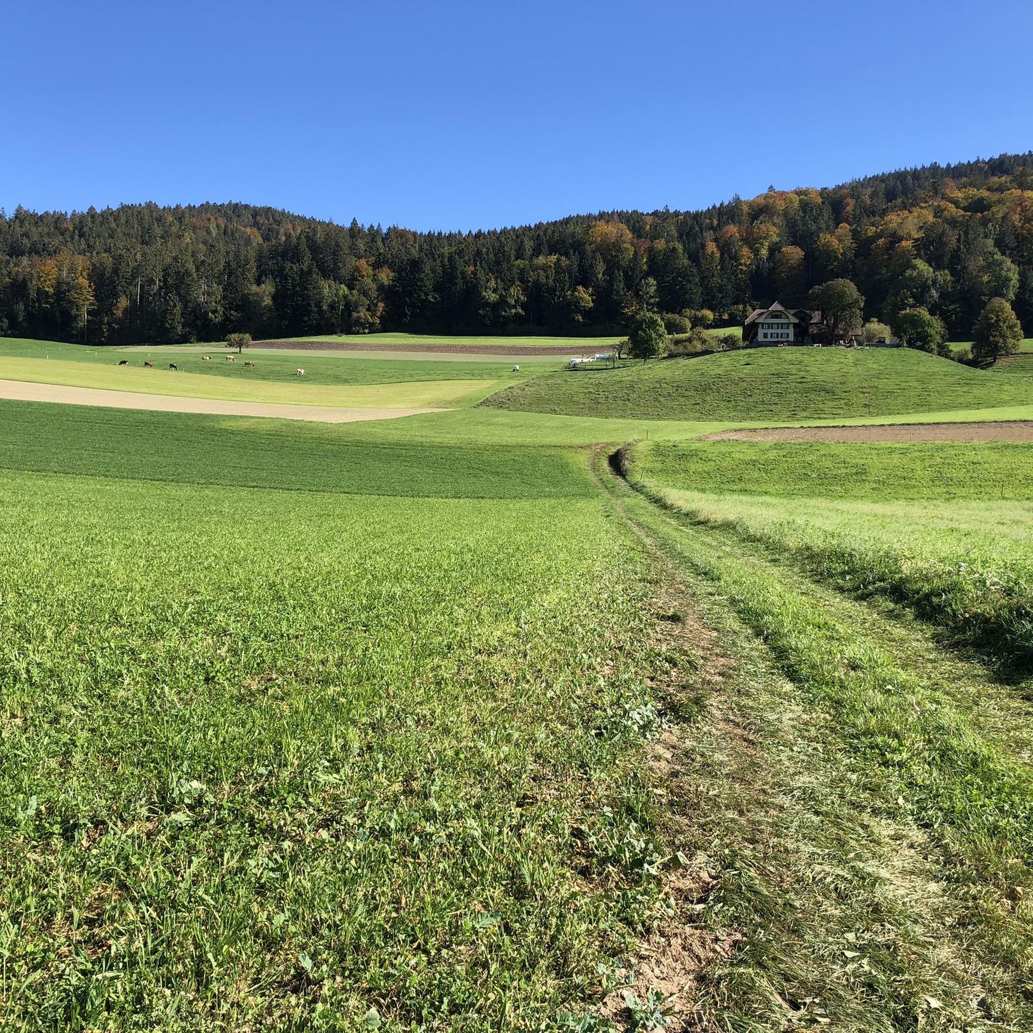
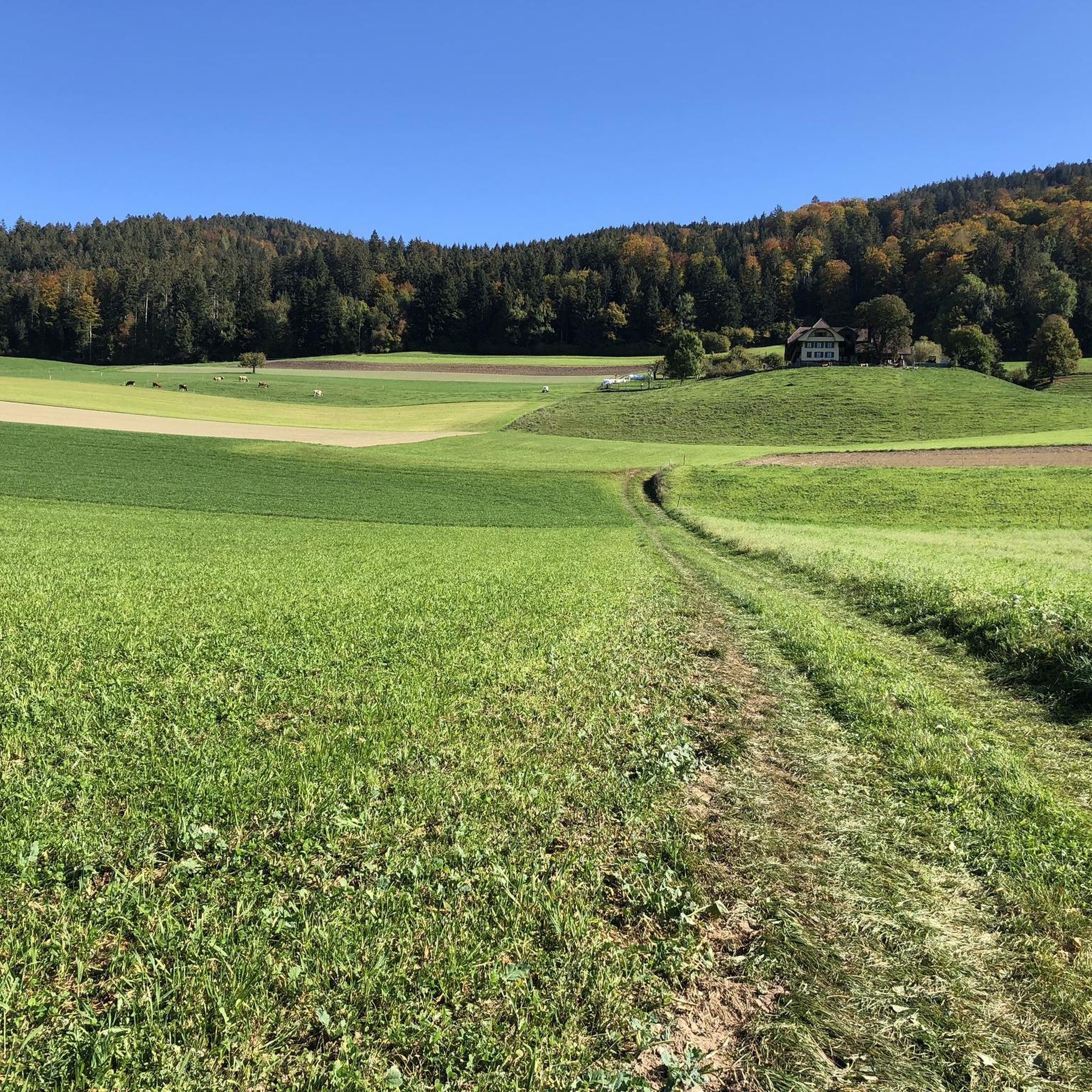
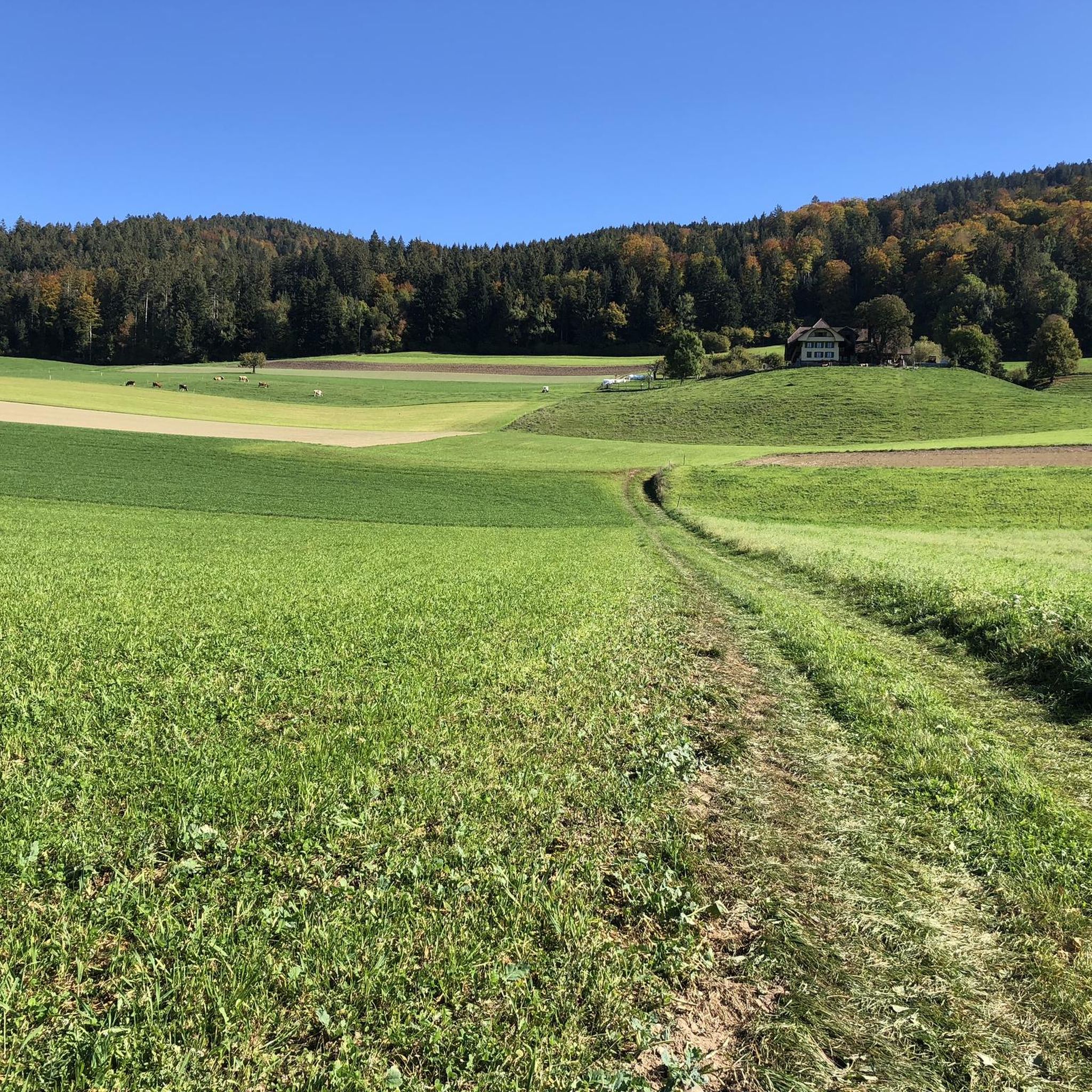
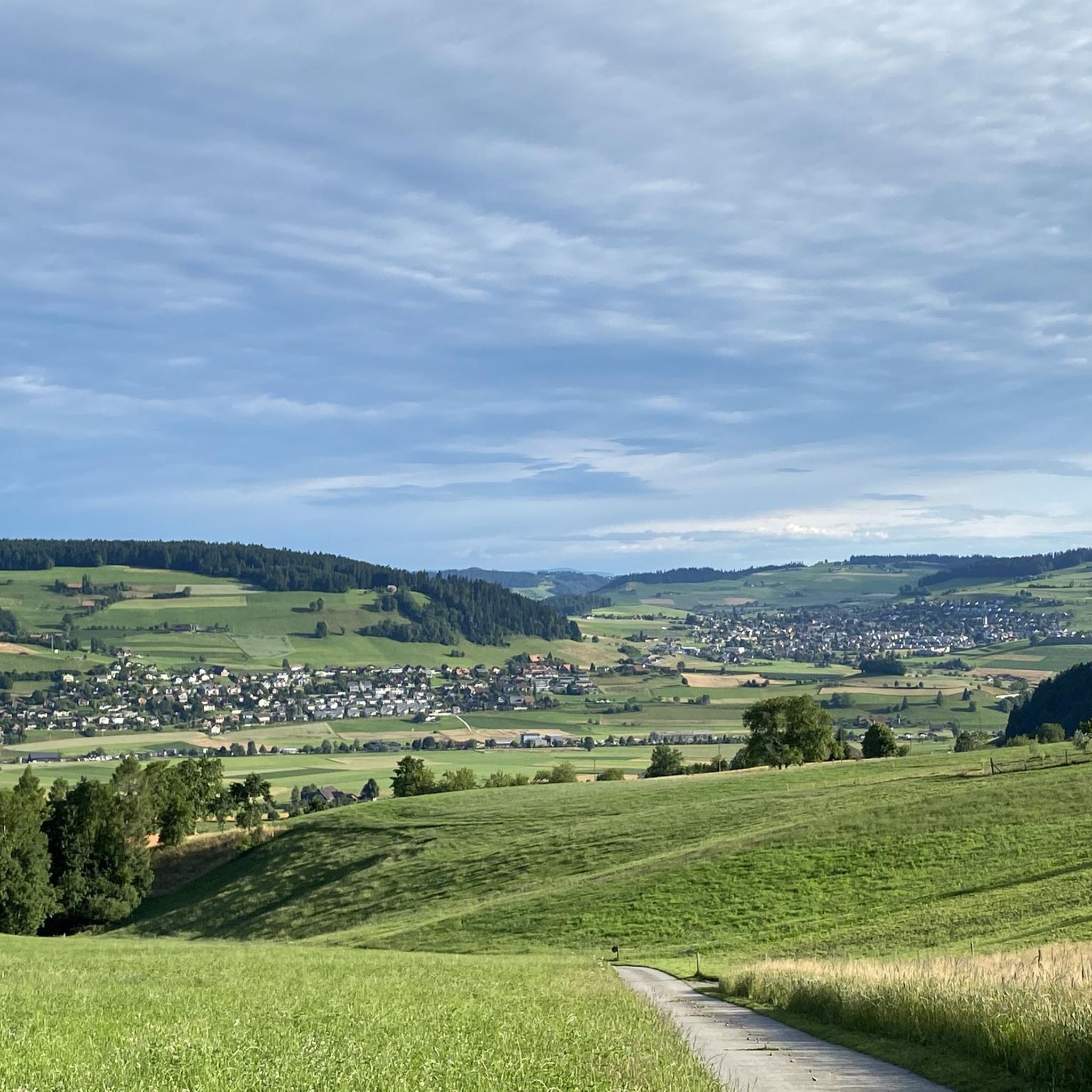
Hiking around Freimettigen offers diverse landscapes characterized by significant forested areas and extensive agricultural land. The region is situated between the Aare and Gürbe valleys, featuring the eleven-kilometer-long Belpberg ridge. This topography provides a variety of scenic paths suitable for exploration, from gentle routes through farmland to more challenging ridge walks.
Best hiking trails around Freimettigen
- The most popular hiking route is Falkenfluh Viewpoint – Hammer Viewpoint loop from Oberdiessbach, a 6.2 miles (10.0 km) trail that takes 3…
Last updated: June 27, 2026
5.0
(7)
38
hikers
10.00km
03:23
470m
470m
Moderate hike. Good fitness required. Easily-accessible paths. Suitable for all skill levels.
4.6
(8)
36
hikers
8.62km
02:26
180m
180m
Moderate hike. Good fitness required. Easily-accessible paths. Suitable for all skill levels.

Sign up for free
4.0
(2)
13
hikers
8.16km
02:20
190m
190m
Moderate hike. Good fitness required. Easily-accessible paths. Suitable for all skill levels.
12
hikers
3.21km
00:50
20m
20m
Easy hike. Great for any fitness level. Easily-accessible paths. Suitable for all skill levels.
4.3
(3)
9
hikers
4.04km
01:09
100m
100m
Easy hike. Great for any fitness level. Easily-accessible paths. Suitable for all skill levels.
Get access to more routes and recommendations from other explorers.
Sign up for free
Already have an account?
Our route recommendations are based on thousands of hikes, rides, and runs completed by other people on komoot.
Start today with a free account
Your next adventure awaits.
Login or Signup
Tips from the Community

Beautiful viewpoint and perfect for a break.
0
0

A somewhat inconspicuous summit with a beautiful panorama and great views of the mountains and the surrounding area.
0
0


I expect a lot in Emmental, but a Nespresso Factory Shop was definitely a surprise.
0
0

A very beautiful and old house in town! It has stood since the 16th century and even survived a wildfire in the village itself. It is part of the Oberdiessbach information trail.
0
0

Nice panoramic view over the village of Häutligen
0
0

A trip to the Bärli restaurant gives you new energy 🤪
0
0

To be out and about with the dog, the ideal hiking trail
0
0
Frequently Asked Questions
How many hiking trails are available around Freimettigen?
Freimettigen offers a wide variety of hiking opportunities, with over 480 routes available. These range from easy strolls to more challenging treks, catering to different fitness levels and preferences.
What kind of terrain can I expect on hikes in Freimettigen?
The terrain around Freimettigen is quite varied. You'll find paths winding through significant forested areas, extensive agricultural land, and along the eleven-kilometer-long Belpberg ridge. This mix provides both gentle routes and more challenging ridge walks with elevation changes.
Are there any easy hiking trails suitable for beginners or casual walkers?
Yes, Freimettigen has plenty of easy options. Out of the over 480 routes, more than 260 are classified as easy. An example of an easy route is the Hünigen Castle loop from Konolfingen, which is just over 3 km long.
What are some notable viewpoints or landmarks I can see while hiking in Freimettigen?
The region boasts several impressive viewpoints and landmarks. The Chutzen Summit on Belpberg offers phenomenal 360-degree panoramic views of the Bernese Alps, Emmental, and Jura. You can also visit the Chuderhüsi Tower for views towards the Alps, or see the historic Schützenfahr Bridge over the Aare.
Are there any circular hiking routes in Freimettigen?
Yes, many routes in Freimettigen are designed as loops. For instance, the Falkenfluh Viewpoint – Hammer Viewpoint loop from Oberdiessbach is a popular circular trail offering varied terrain and viewpoints.
What do other hikers say about the trails in Freimettigen?
The trails in Freimettigen are highly regarded by the komoot community, with an average rating of 4.5 stars from over 790 reviews. Hikers often praise the diverse landscapes, well-maintained paths, and the stunning panoramic views, especially from spots like the Chutzen Summit.
Are there any family-friendly hiking options in Freimettigen?
Freimettigen offers many paths suitable for families. The varied terrain includes gentle routes through farmland and forests, which can be ideal for walks with children. Look for trails marked as 'easy' for the most family-friendly experiences.
Can I bring my dog on the hiking trails in Freimettigen?
Generally, dogs are welcome on hiking trails in Switzerland, including around Freimettigen. However, it's always advisable to keep dogs on a leash, especially in agricultural areas or near livestock, and to respect local signage regarding dog access.
What is the best time of year to go hiking in Freimettigen?
The region is beautiful throughout the warmer months, typically from spring to autumn. During these seasons, you can enjoy the lush forests and agricultural landscapes. Autumn offers particularly scenic views with changing foliage, while spring brings blooming wildflowers.
Are there places to eat or rest along the hiking routes?
Yes, the region has options for breaks. Near the Chutzen Summit, for example, there is a restaurant at 887 meters with regional cuisine and a terrace offering Alpine views. The Chuderhüsi Tower also provides shelter with a table and benches at its base.
Are there any historical sites or ruins to explore on the hikes?
Yes, history enthusiasts can discover the remains of the 12th-century Hohburg Castle ruins along the path leading to the Chutzen Summit. This adds a historical dimension to the scenic ridge walks.
What are some natural water features I might encounter?
The region is close to the Aare River, and you might encounter features like the Uttigen Wave on the Aare River. There's also the serene Blauseeli near Uttigen, a small lake that can be a peaceful stop on a hike.
Most popular routes around Freimettigen
Most popular attractions around Freimettigen

Get inspired with the komoot mobile app


Explore more
Browse the best Hikes in other regions.
