The best road cycling routes around Frankenhain
4.5
(257)
3,781
riders
103
rides
Road cycling routes around Frankenhain traverse a diverse landscape characterized by rolling hills, deep valleys, and forested areas. The region features notable elevations, with routes often including significant climbs and descents. Road cyclists can expect varied terrain, from valley floors to higher vantage points offering expansive views. The area's geography provides a mix of challenging ascents and smoother sections suitable for different skill levels.
Best road cycling routes around Frankenhain
- The most popular road cycling route is Ernstroda Bridge –…
Last updated: October 12, 2026
5.0
(1)
33
riders
114km
06:18
2,050m
2,050m
Hard road ride. Very good fitness required. Some segments of this route may be unpaved and difficult to ride.
27
riders
63.2km
03:14
1,040m
1,040m
Hard road ride. Very good fitness required. Some segments of this route may be unpaved and difficult to ride.

4.0
(1)
26
riders
42.7km
02:04
570m
570m
Moderate road ride. Good fitness required. Some segments of this route may be unpaved and difficult to ride.
5.0
(2)
19
riders
25.4km
01:11
290m
290m
Moderate road ride. Great for any fitness level. Some segments of this route may be unpaved and difficult to ride.
3.0
(3)
14
riders
40.3km
01:51
420m
420m
Moderate road ride. Good fitness required. Some segments of this route may be unpaved and difficult to ride.
Get access to more routes and recommendations from other explorers.
Already have an account?
Our route recommendations are based on thousands of hikes, rides, and runs completed by other people on komoot.
Start today with a free account
Your next adventure awaits.

Tips from the Community

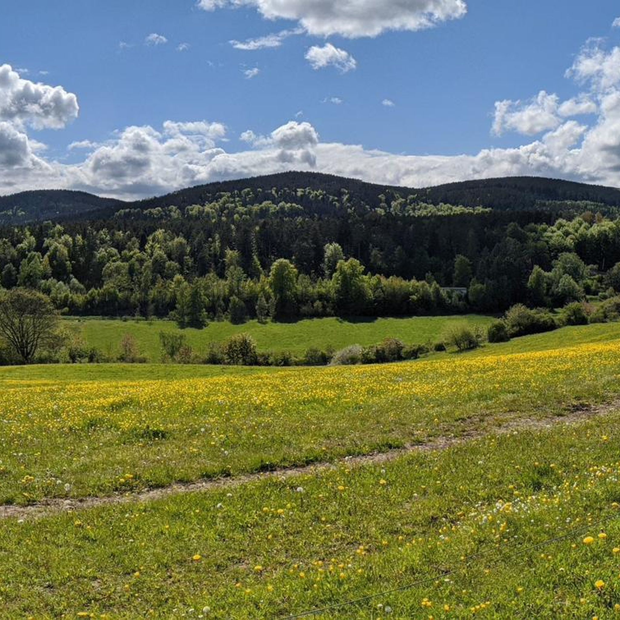
View from Liebenstein Castle...
0
0

Nice climb! Low traffic and good tarmac
0
0

Comfortable pass ride with moderate gradients.
0
0
Comfortable pass ride, the gradient is kept well within limits.
0
0


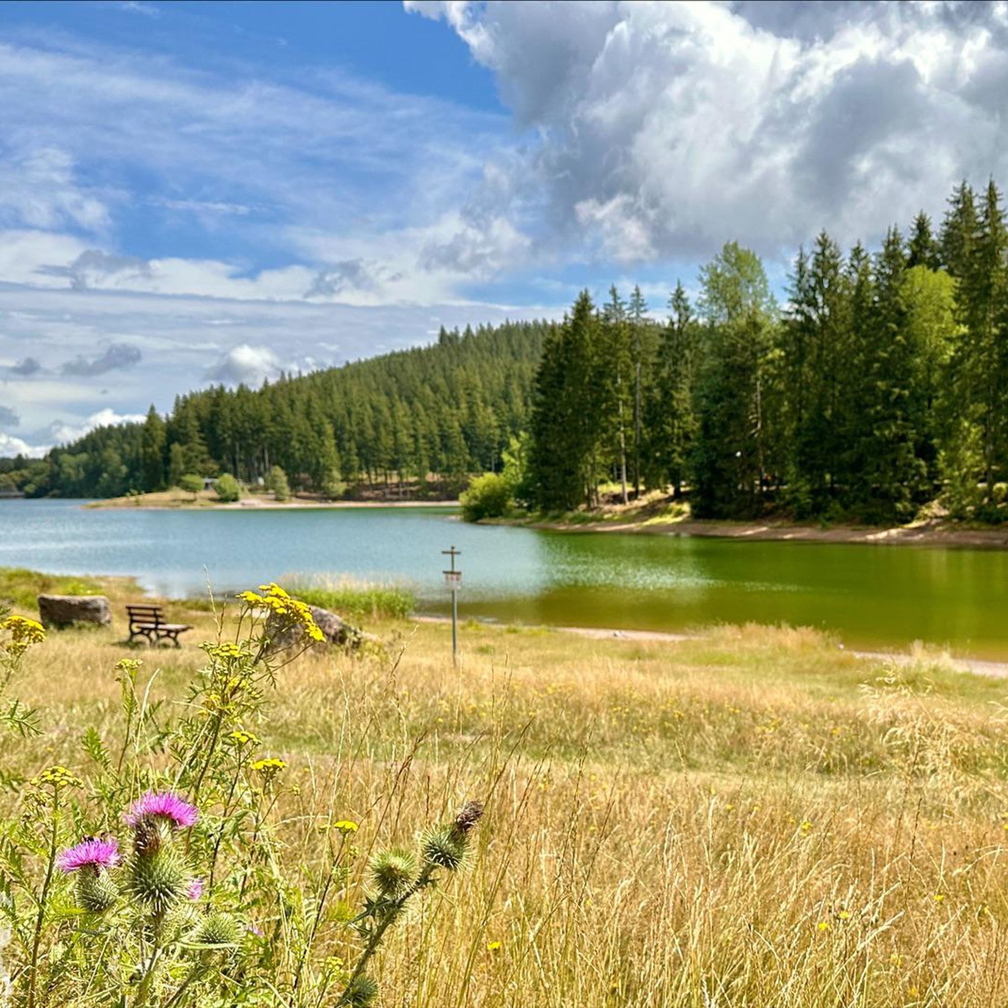
You can clearly see how much water is missing at the moment. Still, it's absolutely recommended as a destination!
0
0


Beautiful climb in the forest (without ramps), on a side road, to Oberhof.
0
0
Frequently Asked Questions
How many road cycling routes are available around Frankenhain?
There are over 110 road cycling routes documented around Frankenhain on komoot, offering a wide range of options for different skill levels and preferences.
What kind of terrain can I expect on road cycling routes in Frankenhain?
Road cycling routes around Frankenhain feature a diverse landscape of rolling hills, deep valleys, and forested areas. You can expect varied terrain, including significant climbs and descents, as well as smoother sections, catering to both challenging rides and more relaxed tours.
Are there road cycling routes suitable for beginners in Frankenhain?
Yes, Frankenhain offers 17 easy road cycling routes perfect for beginners or those looking for a less strenuous ride. These routes typically feature gentler gradients and shorter distances.
What are some challenging road cycling routes for experienced riders?
For experienced riders seeking a challenge, Frankenhain has 38 difficult routes. A notable option is the Ernstroda Bridge – View of Hoher Stein loop from Dörrberg, which covers 71.1 miles (114.4 km) with substantial elevation gain and panoramic views from Hoher Stein.
Are there any moderate road cycling routes in the area?
Yes, Frankenhain features 57 moderate road cycling routes. An excellent choice is the View of Liebenstein Castle – Reinsberge loop from Dörrberg, a 26.2 miles (42.2 km) trail that takes you through the scenic Reinsberge hills and past Liebenstein Castle.
What are the best times of year for road biking in Frankenhain?
The spring, summer, and early autumn months (roughly April to October) generally offer the most favorable conditions for road biking in Frankenhain, with milder temperatures and less chance of snow or ice. Always check local weather forecasts before heading out.
What scenic views can I expect on road cycling routes around Frankenhain?
Many routes offer expansive views from higher vantage points, particularly in the rolling hills and forested sections. The Ernstroda Bridge – View of Hoher Stein loop from Dörrberg, for example, provides panoramic vistas from Hoher Stein.
Are there any interesting landmarks or attractions along the road cycling routes?
Yes, several routes pass by notable landmarks. For instance, the View of Liebenstein Castle – Reinsberge loop from Dörrberg takes you past Liebenstein Castle. You can also find highlights like the Lütsche Dam or the Neue Gehlberger Hütte on Schneekopf near some routes.
What do other road cyclists say about the routes in Frankenhain?
The road cycling routes in Frankenhain are highly rated by the komoot community, with an average score of 4.7 stars from over 190 reviews. Cyclists often praise the varied terrain, the challenging climbs, and the beautiful natural scenery.
Are there any routes that follow dedicated cycle paths?
Yes, some routes incorporate dedicated cycle paths. The Kehltal Valley – Oberhof Cycle Path loop from Dörrberg is a great example, guiding riders through the scenic Kehltal Valley with sections on dedicated cycle paths.
Where can I find parking for road cycling routes in Frankenhain?
While specific parking details vary by route, many trailheads and popular starting points in Frankenhain and surrounding villages offer designated parking areas. It's advisable to check the route details on komoot for specific parking recommendations near your chosen starting point.
Are there any shorter, moderate loops for a quick ride?
Absolutely. The Reinsberge – Angelroda Viaduct loop from Dörrberg is a moderate 25.3 km (15.7 miles) route, perfect for a shorter, engaging ride through the Reinsberge.
Most popular routes around Frankenhain
Most popular attractions around Frankenhain

Get inspired with the komoot mobile app


Explore more
Browse the best Road cycling routes in other regions.
