The best road cycling routes in Lye Brook Wilderness
4.8
(4)
193
riders
27
rides
Road cycling in Lye Brook Wilderness offers routes through the scenic southern Green Mountains of Vermont. The region features elevations varying from 900 to 2,900 feet, characterized by dense northern hardwood forests and a high plateau with ponds and bogs. While the wilderness itself is rugged, the surrounding area provides accessible roads and picturesque routes suitable for road cycling. These routes often connect historic towns with the natural landscape, providing diverse terrain for cyclists.
Best road cycling routes in Lye Brook Wilderness
- The most popular road cycling route is South Village Pond – Emerald Lake loop from Lye Brook Falls Trailhead, a 45.8 miles (73.6 km) trail that takes 3 hours 35 minutes to complete. This moderate route navigates through varied terrain, passing by scenic ponds and lakes.
- Another top favourite among local road cyclists is Chiselville Covered Bridge loop from Lye Brook Falls Trailhead, a difficult 46.4 miles (74.6 km) path. This route features significant elevation changes and includes a notable covered bridge.
- Local road cyclists also love the Chiselville Covered Bridge loop from Manchester, a 23.1 miles (37.2 km) trail leading through forested areas and past the Chiselville Covered Bridge, often completed in about 1 hour 51 minutes.
- Road cycling in Lye Brook Wilderness is defined by northern hardwood forests, high plateaus, and scenic roads connecting to natural features. The network offers options for different ability levels, from moderate loops to more challenging routes with significant elevation gain.
- The routes in Lye Brook Wilderness are highly rated by the komoot community with an average score of 5.0 stars from 2 reviews. More than 180 road cyclists have used komoot to explore Lye Brook Wilderness's varied terrain.
Last updated: July 13, 2026
14
riders
73.6km
03:36
740m
740m
The South Village Pond – Emerald Lake loop offers a quintessential Vermont road cycling experience, winding through the scenic valleys and rolling hills of Danby. You'll encounter picturesque landscapes, from expansive panoramas to glimpses of distant peaks like Dorset Mountain, making for a truly engaging ride. This moderate route spans 45.8 miles (73.6 km) with 2438 feet (743 metres) of elevation gain, typically taking about 3 hours and 35 minutes, perfect for cyclists seeking a substantial challenge.
Starting near the Lye Brook Falls Trailhead, this loop is a local favorite, known for its varied terrain. While mostly paved, some sections might be unpaved, requiring adaptability and good bike handling skills. It's best to plan for a morning start, especially on weekends, to enjoy the tranquility of the roads and avoid any potential traffic. Always carry enough water and be prepared for changing conditions.
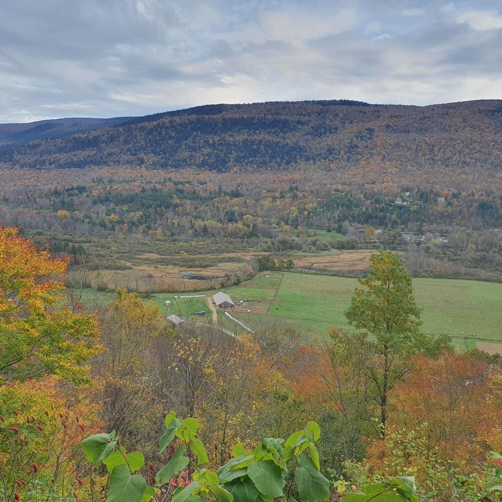
This route is notable for showcasing the diverse elevations and natural beauty nestled between the Taconic and Green Mountains. It's a fantastic way to experience the region's character, passing through areas that highlight features like Dutch Hill and offering views towards Woodlawn Mountain. The loop is a testament to why Danby is a beloved spot for road cyclists, providing both a workout and stunning scenery.
28
riders
37.2km
01:51
360m
360m
If you're looking for a quintessential Vermont road cycling experience, the Chiselville Covered Bridge loop from Manchester Center delivers a scenic journey through rolling countryside. This moderate 23.1-mile (37.2 km) route, which you can complete in about 1 hour and 51 minutes, takes you past the historic 1870 Chiselville Covered Bridge, a true highlight spanning the Roaring Branch of the Batten Kill. You'll navigate varied terrain, from gentler stretches along the river to more demanding climbs, all while soaking in the picturesque views between the Taconic and Green Mountains. Expect around 1180 feet (360 metres) of elevation gain, making it a rewarding ride for those with good fitness.
Starting from Manchester Center, this loop is best enjoyed when the weather is clear to fully appreciate the rural Vermont landscapes. While specific parking information isn't detailed, Manchester Center provides a convenient base for beginning your ride. Be prepared for a mix of paved and potentially unpaved segments, and ensure your bike is equipped for varied road conditions. This route is ideal for cyclists who enjoy a blend of natural beauty and a moderate physical challenge.
The Chiselville Covered Bridge itself is a significant landmark, a 117-foot Town lattice truss bridge notable for its impressive height and the quirky "One Dollar Fine" sign. This historic structure, built in 1870, offers a fantastic photo opportunity and a glimpse into 19th-century engineering. The route provides a great way to explore the charming Southern Vermont countryside, offering a memorable road cycling experience that combines history with stunning natural beauty.

Sign up for free
15
riders
46.5km
02:08
490m
490m
Moderate road ride. Good fitness required. Mostly well-paved surfaces and easy to ride.
13
riders
31.8km
01:24
250m
250m
Easy road ride. Great for any fitness level. Mostly well-paved surfaces and easy to ride.
10
riders
Moderate road ride. Good fitness required. Some segments of this route may be unpaved and difficult to ride.
Get access to more routes and recommendations from other explorers.
Sign up for free
Already have an account?
Our route recommendations are based on thousands of hikes, rides, and runs completed by other people on komoot.
Start today with a free account
Your next adventure awaits.
Login or Signup
Popular around Lye Brook Wilderness


Tips from the Community

This is a stunning covered bridge. It is also known as the East Arlington Covered Bridge. It was built in 1870 and spans over the Roaring Branch of the Batten Kill on Sunderland Hill Road in the town of Sunderland, Vermont. There is a sign on the bridge that states you will get fined $1 if you drive over the bridge faster than a walking man.
1
0
Frequently Asked Questions
How many road cycling routes are available in the Lye Brook Wilderness area?
There are over 20 road cycling routes in the Lye Brook Wilderness area, offering a variety of experiences for cyclists.
What kind of terrain can I expect on road cycling routes around Lye Brook Wilderness?
The region offers diverse terrain, from picturesque local roads winding through dense northern hardwood forests to routes that traverse high plateaus with ponds and bogs. You'll encounter varied elevations, characteristic of the southern Green Mountains of Vermont.
Are there road cycling routes suitable for beginners in Lye Brook Wilderness?
Yes, there are several routes suitable for beginners. For instance, the Mill Pond – Trout Pond loop from Manchester is an easy 19.7-mile (31.8 km) trail, perfect for those looking for a less strenuous ride.
Are there challenging road cycling routes for experienced riders?
Absolutely. Experienced riders can tackle more difficult routes with significant elevation changes. The Chiselville Covered Bridge loop from Lye Brook Falls Trailhead is a difficult 46.4-mile (74.6 km) path featuring substantial climbs and descents.
What are some notable landmarks or scenic points along the road cycling routes?
Many routes offer scenic views of the surrounding mountains and forests. You might encounter historic features like the Chiselville Covered Bridge, which is a highlight on routes such as the Chiselville Covered Bridge loop from Manchester. While the wilderness itself is rugged, the roads leading to its access points often provide picturesque vistas.
Can I find loop routes for road cycling in the area?
Yes, many of the road cycling routes in the Lye Brook Wilderness area are designed as loops, allowing you to start and end at the same point. Examples include the South Village Pond – Emerald Lake loop from Lye Brook Falls Trailhead and the Equniox Mt Trailhead loop from Manchester.
What is the best season for road cycling in Lye Brook Wilderness?
The northern hardwood forests, including birch, beech, and maple trees, make the fall foliage season particularly vibrant and scenic for road cycling. Spring and summer also offer pleasant conditions, with lush greenery and comfortable temperatures.
Are there opportunities for wildlife spotting while road cycling?
The Lye Brook Wilderness and its surrounding areas are home to a variety of wildlife, including black bears, moose, deer, and numerous bird species. While cycling, especially on quieter roads, you may have opportunities to observe local fauna, particularly during dawn or dusk.
Where can I park when planning a road cycling trip?
Many routes originate from trailheads or towns like Manchester, which typically offer parking facilities. For routes starting near the wilderness, such as those from the Lye Brook Falls Trailhead, designated parking areas are usually available to accommodate visitors.
What do other road cyclists enjoy most about road cycling in Lye Brook Wilderness?
The area is highly rated by the komoot community, with an average score of 5.0 stars. Reviewers often praise the diverse terrain, the scenic beauty of the northern hardwood forests, and the variety of routes catering to different skill levels, from moderate loops to more challenging climbs.
Are there any specific attractions or natural features I should look out for?
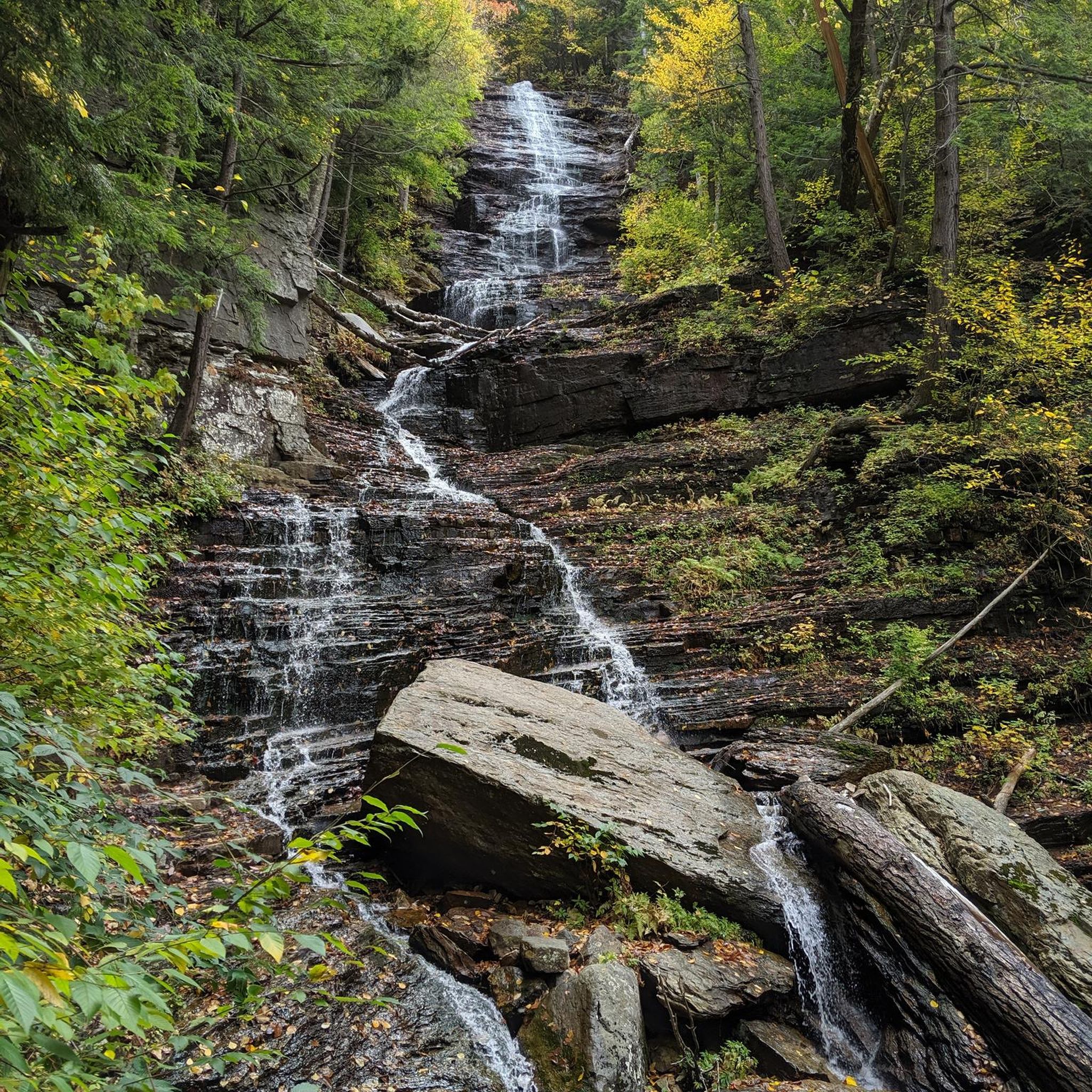
While the Lye Brook Wilderness itself is known for Lye Brook Falls and Prospect Rock (primarily hiking destinations), the road cycling routes in the surrounding region often pass by picturesque ponds and offer views of the Green Mountains. The routes connect historic towns with the natural landscape, providing a blend of cultural and natural sights.
Most popular routes in Lye Brook Wilderness

Get inspired with the komoot mobile app


Explore more
Browse the best Road cycling routes in other regions.
