The best road cycling routes in Lewis Fork Wilderness
10
riders
5
rides
Road cycling in Lewis Fork Wilderness and the surrounding Mount Rogers National Recreation Area offers routes through a rugged landscape characterized by significant elevation changes. The region features diverse forest types, ranging from lower elevation tulip poplar and beech to higher red spruce and Fraser fir. Prominent ridges like Wilburn Ridge and Elk Garden Ridge define the terrain, providing varied gradients for road cyclists. While the Lewis Fork Wilderness itself prohibits cycling, the broader area provides extensive paved and unpaved…
Last updated: July 8, 2026
29.4km
01:48
680m
680m
Moderate road ride. Good fitness required. Mostly well-paved surfaces and easy to ride.
1
riders
66.0km
03:37
1,250m
1,260m
Hard road ride. Very good fitness required. Mostly well-paved surfaces and easy to ride.

Sign up for free
60.4km
04:59
1,430m
1,430m
Hard road ride. Very good fitness required. Mostly well-paved surfaces and easy to ride.
17.8km
01:01
290m
290m
Easy road ride. Great for any fitness level. Mostly well-paved surfaces and easy to ride.
9
riders
166km
07:24
1,780m
1,780m
Hard road ride. Very good fitness required. Mostly well-paved surfaces and easy to ride.
Our route recommendations are based on thousands of hikes, rides, and runs completed by other people on komoot.
Start today with a free account
Your next adventure awaits.
Login or Signup
Popular around Lewis Fork Wilderness
Tips from the Community

Nice Visitor Center with Picnic Area, Rocking Chairs, Souvenir Shop and small Exhibit about farm life of the past.
0
0

Hickory Ridge Campground has tent sites, RV sites, and a few yurts for rent as well! Be aware that while camping here, you might have some horse visitors to your camp as wild ponies roam the area.
0
0
Whitetop has a great parking area where riders can park for the Virginia Creeper Trail or for a road ride around this lovely green area. Whitetop is the gateway town to Mount Rogers has a slightly cooler year-round compared to the surrounding areas due to the higher elevations.
0
0
At this spot, cross over the Virginia Creeper Trail, a 35-mile multi-purpose rail trail gravel ride going from Abingdon to Whitetop, Virginia, near Mount Rogers National Recreation Area and the North Carolina state line. This area is popular with bikers, and you might see a lot of hikers around here too, as the Appalachian Trail is close by.
0
0
This parking area is great for bikers as well as overnight hikers. There is a restroom here and a convergence of trails, including the Appalachian Trail, Elk Garden Trail, Virginia Highlands Horse Trail, Whitetop Road, and the county line. There is also a historical marker for the tallest mountain in Virginia, Mount Rogers.
0
0
Sugarland Overlook is an observation point over the Appalachian Mountains. It's an easy pull-off, but watch out not to miss it. In the fall, this is a great overlook to see all the different colors the trees turn before they fall.
0
0
Hickory Ridge Campground has tent sites, RV sites, and a few yerts for rent as well! Be aware that while camping here, you might have some horse visitors to your camp as wild ponies roam the area.
0
0
Grayson Highland Visitor Center has ample parking and is a great spot to stop on a ride around the park. This park is famous for its stunning landscapes, woods, featuring open, grassy open areas, panoramic views, and the local wild ponies. These ponies are known as the Grayson Highlands ponies, and there is no better place to learn more than at the Grayson Highland Visitor Center.
0
0
Frequently Asked Questions
How many road cycling routes are available in the Lewis Fork Wilderness area?
There are 5 road cycling routes available in the broader Lewis Fork Wilderness area, offering a range of experiences from easy to difficult.
Is road cycling permitted directly within the Lewis Fork Wilderness boundaries?
No, mountain bikes and motorized equipment, including road bikes, are prohibited within the designated Lewis Fork Wilderness area itself. However, the surrounding Mount Rogers National Recreation Area and New River Valley offer excellent road cycling opportunities on both paved and unpaved surfaces.
What kind of terrain can I expect on road cycling routes near Lewis Fork Wilderness?
The region features significant elevation changes, with routes traversing valley bottoms, meadows, and hilltops. You'll find a mix of paved secondary roads and some routes that include unpaved surfaces, gravel, and forest roads, offering diverse landscapes and challenging climbs.
Are there challenging road cycling routes for experienced riders?
Yes, the area offers several challenging routes. For instance, the Fox Creek – Whitetop Post Office loop from Troutdale covers nearly 66 km with over 1250 meters of elevation gain, and the Troutdale to the Grayson Highlands route features over 1400 meters of climbing over 60 km.
Are there any easy road cycling routes suitable for beginners?
Yes, there is an easy route available. The Virginia Creeper and Whitetop Loop is a shorter option, covering about 17.8 km with less than 300 meters of elevation gain, making it a good choice for those looking for a less strenuous ride.
What natural features or landmarks can I see while road cycling in the Lewis Fork Wilderness area?
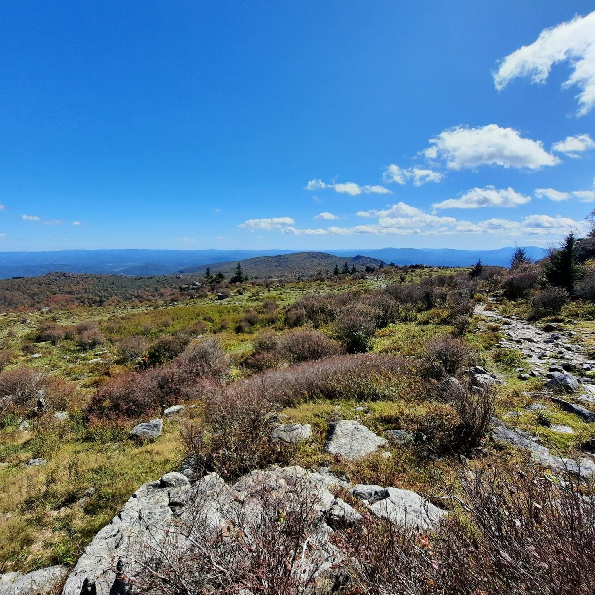
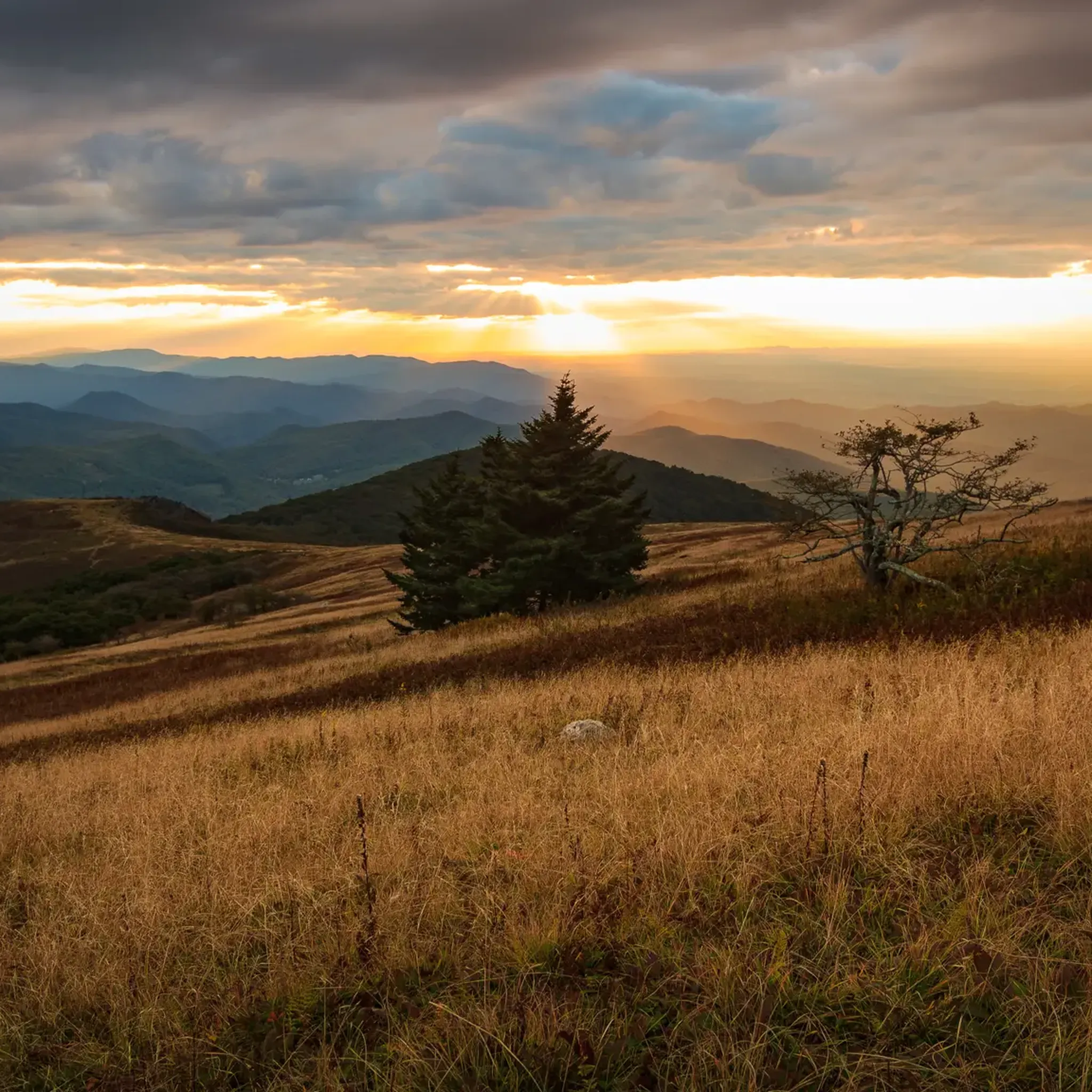
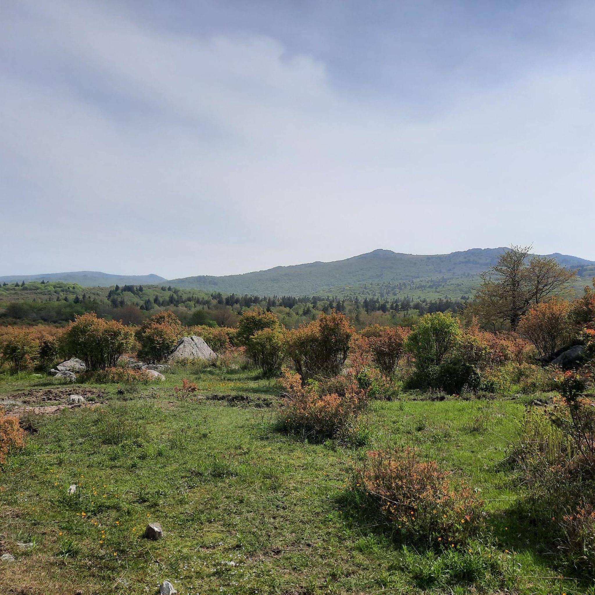
While cycling in the broader region, you can experience diverse forest types, from tulip poplar and beech at lower elevations to red spruce and Fraser fir on higher slopes. Prominent ridges like Wilburn Ridge and Elk Garden Ridge offer scenic vistas. You might also spot wild ponies in the adjacent Grayson Highlands State Park, a significant draw to the area.
Are there loop road cycling routes available?
Yes, several routes are designed as loops. Examples include the Whitetop Mountain loop and the Fox Creek – Whitetop Post Office loop from Troutdale, allowing you to start and finish at the same point.
What is the best time of year for road cycling in this region?
The region experiences significant elevation changes, which can influence weather. Generally, late spring through early fall offers the most favorable conditions for road cycling, with milder temperatures. However, higher elevations, like Mount Rogers, can have cooler temperatures and unique high-altitude forests, so checking local weather is always recommended.
Are the road cycling routes family-friendly?
While some routes are challenging, the Virginia Creeper and Whitetop Loop is rated as easy, making it potentially suitable for families with older children or those comfortable with moderate distances. Always consider the distance and elevation gain when planning a family outing.
Can I bring my dog on these road cycling routes?
Regulations regarding dogs can vary. While dogs are generally welcome on many trails in the Mount Rogers National Recreation Area, it's best to check specific rules for each route or park area, especially concerning leash requirements and waste disposal. Remember that Lewis Fork Wilderness itself prohibits bikes.
Are there specific parking areas for road cyclists near these routes?
Parking is typically available at trailheads or designated access points for the various routes within the Mount Rogers National Recreation Area and surrounding towns like Troutdale. It's advisable to check the starting point of your chosen route for specific parking information.
Are there amenities like cafes or pubs near the road cycling routes?
The routes are primarily in a rural, mountainous region. While specific amenities directly on every route might be limited, towns like Troutdale, which serve as starting points for several routes, will offer basic services, cafes, or small eateries. Planning your hydration and nutrition in advance is recommended.
Most popular routes in Lewis Fork Wilderness

Get inspired with the komoot mobile app


Explore more
Browse the best Road cycling routes in other regions.
