The best MTB trails in Mount Timpanogos Wilderness
4.8
(62)
473
riders
54
rides
Mountain bike trails in Mount Timpanogos Wilderness navigate a landscape characterized by rugged terrain, glacial cirques, and dense forests of aspen and pine. The area, part of Utah's Wasatch Mountain Range, offers significant elevation changes and varied surfaces. While the designated wilderness area has restrictions, the surrounding Timpanogos Foothills and perimeter routes provide extensive mountain biking opportunities. Riders can expect challenging climbs and descents through diverse ecosystems.
Best mountain bike trails in Mount Timpanogos Wilderness
- The most popular mountain bike trail is Tibble Fork Reservoir – Tibble Fork Reservoir loop from Island Meadow, a 14.8 miles (23.8 km) trail that takes 2 hours 25 minutes to complete. This difficult route features substantial elevation gain through forested areas.
- Another top favourite among local mountain bikers is Horse Flat Trail – Alpine Summit loop from Alpine Summit, a difficult 9.5 miles (15.3 km) path. This trail offers panoramic views and challenging sections, often completed in about 1 hour 39 minutes.
- Local mountain bikers also love the KhPeak Overlook – Bridal Veil Falls loop from Bridal Veil Falls, a 12.0 miles (19.4 km) trail leading through varied terrain with views of waterfalls, often completed in about 2 hours 2 minutes.
- Mountain biking in Mount Timpanogos Wilderness is defined by rugged terrain, dense forests, and high alpine meadows. The network offers options for different ability levels, from moderate paths to difficult, strenuous climbs.
- The routes in Mount Timpanogos Wilderness are highly rated by the komoot community with an average score of 4.8 stars from more than 50 reviews. More than 400 mountain bikers have used komoot to explore Mount Timpanogos Wilderness's varied terrain.
Last updated: October 14, 2026
8
riders
23.7km
02:25
740m
740m
Hard mountain bike ride. Good fitness required. Advanced riding skills necessary. Some portions of the route may require you to push your bike.
33
riders
15.3km
01:39
410m
410m
Hard mountain bike ride. Good fitness required. Advanced riding skills necessary. Some portions of the route may require you to push your bike.

12
riders
22.1km
02:27
730m
730m
Moderate mountain bike ride. Good fitness required. Advanced riding skills necessary.
16
riders
15.5km
01:46
530m
530m
Moderate mountain bike ride. Good fitness required. Advanced riding skills necessary.
13
riders
18.0km
01:42
550m
550m
Hard mountain bike ride. Good fitness required. Advanced riding skills necessary. Some portions of the route may require you to push your bike.
Get access to more routes and recommendations from other explorers.
Already have an account?
Our route recommendations are based on thousands of hikes, rides, and runs completed by other people on komoot.
Start today with a free account
Your next adventure awaits.

Tips from the Community

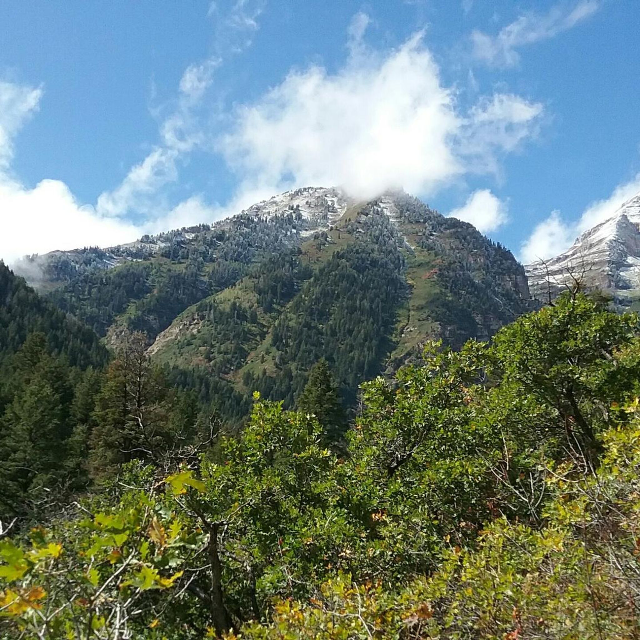
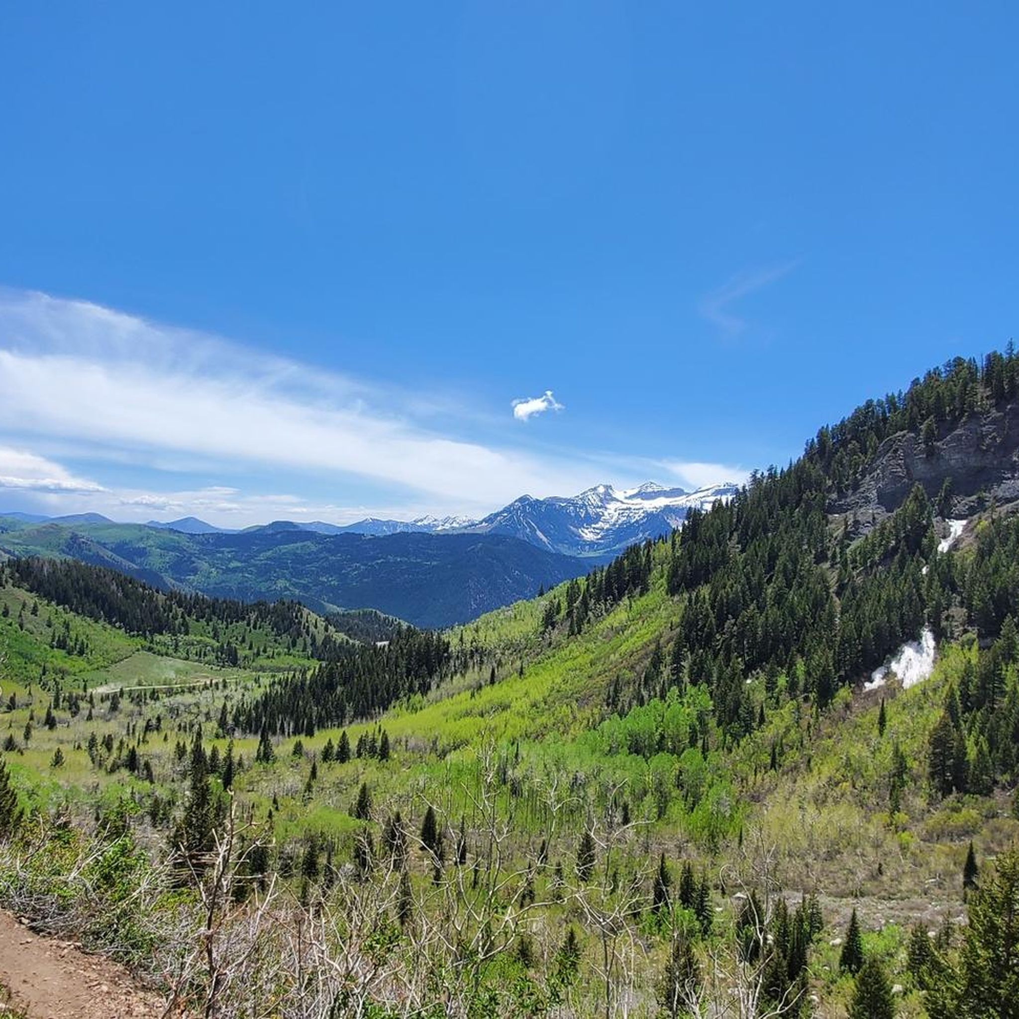
KhPeak Overlook gives you a wide view over the valley below and the surrounding ridges. It’s a simple, open spot to pause, take a breath, and get a sense of the terrain ahead before continuing your ride or hike.
1
0
This is the highest point of the Alpine Scenic Highway—meaning if you’ve made it here, it’s time to enjoy the downhill ahead. Nearby, you’ll find access to several trails, including Willow Hollow Trail, Horse Flat Trail, Ridge Trail, and Lame Hollow Trail.
0
0

If you want to see the main waterfall in the park, you'll have to leave your bike behind for a bit. Just biking along the river on the Provo River Parkway is worth your while, though, and you get great views of cascades and small falls pouring into the river.
0
0
The Salamander Flat Dispersed Campground offers a handful of different types of campsite options with most being primitive tent sites. A few different mountain bike trails pass through the campground, making it a great home base for multiple days of riding.
0
0

This is a 22-acre freshwater lake that offers stunning turquoise water, with a nice beach area to enjoy a picnic or just a quick break to savor the views.
0
0

Squaw Peak Overlook provides views of the Utah Valley below to the west and views of various peaks to the east.
0
0


While just a short trail, the Horse Flat Trail offers stunning views of Primrose Canyon and Stewart Falls. In the summer, enjoy lovely blankets of local wildflowers and colorful foliage in the fall.
0
0
Frequently Asked Questions
What kind of mountain biking experience can I expect in Mount Timpanogos Wilderness?
Mountain biking in the Mount Timpanogos Wilderness area offers a challenging experience characterized by rugged terrain, significant elevation changes, and diverse ecosystems. While the designated wilderness area has restrictions on mechanized travel, the surrounding Timpanogos Foothills and perimeter routes provide extensive opportunities. You'll find trails passing through aspen groves, deep pine woods, and flower-studded meadows, often with breathtaking views.
Are there any restrictions for mountain biking within the Mount Timpanogos Wilderness?
Yes, the designated Mount Timpanogos Wilderness area generally restricts mechanized travel, including mountain bikes, on its main hiking trails and in upper elevations above 9,000 feet. However, the surrounding areas, such as the Timpanogos Foothills and the Timpanogos Great Western Trail, offer compelling mountain biking experiences outside these restricted zones. Always be mindful of wilderness regulations and signage.
What are the typical trail conditions and difficulty levels for mountain biking here?
The trails in and around Mount Timpanogos Wilderness range from moderate to difficult. Many routes feature sustained steep climbs, rough sections with roots, rocks, and logs, and substantial elevation gain. For example, the Tibble Fork Reservoir loop is a difficult 14.8-mile trail with over 740 meters of elevation gain. Overall, there are 3 easy, 32 moderate, and 22 difficult routes available.
When is the best time of year to go mountain biking in Mount Timpanogos Wilderness?
The best time for mountain biking is typically from late spring through fall. The riding season in the Timpanogos Foothills Wildlife Management Area on the southwest slope is generally from April 16th to November 30th. Trails are closed during winter months to protect wildlife and due to snow conditions. Late July and early August are particularly beautiful for viewing summer wildflowers in the high alpine meadows.
Are there any family-friendly or easier mountain bike trails available?
While many trails are moderate to difficult, there are some easier options. The guide lists 3 easy routes suitable for less experienced riders or families. It's always recommended to check the specific trail details and elevation profiles to ensure they match your group's ability level.
What natural attractions or landmarks can I see while mountain biking?
The area is rich with natural beauty. You might encounter numerous waterfalls, such as Stewart Falls and Timpanogos Falls. The majestic Mount Timpanogos itself offers exceptional panoramic views. You could also ride past Emerald Lake or enjoy views from the Primrose Overlook. The KhPeak Overlook – Bridal Veil Falls loop, for instance, leads through varied terrain with views of waterfalls.
Can I expect to see any wildlife on the trails?
Yes, wildlife sightings are common in the Mount Timpanogos Wilderness. You have excellent chances of spotting Rocky Mountain goats, particularly near Emerald Lake. Mule deer, elk, and moose are also frequently seen. The diverse forests of aspen, fir, and oak provide habitat for a variety of animals.
What is the Timpanogos Great Western Trail like for mountain biking?
The Timpanogos Great Western Trail, also known as the Mount Timpanogos Perimeter Trail, is a significant draw for mountain bikers. It's a narrow singletrack route that skirts Mount Timpanogos, offering a challenging ride with steep climbs and rough sections. It provides an advanced technical and strenuous aerobic experience, often with substantial elevation gain. The scenery is exceptional, passing through aspen groves, deep pine woods, and flower-studded meadows, with fantastic views.
Are there mountain biking opportunities in the Timpanogos Foothills?
Yes, the Timpanogos Foothills area, located at the southwest base of Mount Timpanogos, provides many miles of mountain biking trails within the Uinta-Wasatch-Cache National Forest. This area includes parts of the Bonneville Shoreline Trail and offers a range of trails, many being intermediate in technical requirement with sustained steep climbs.
What do other mountain bikers say about the trails in Mount Timpanogos Wilderness?
The mountain bike routes in Mount Timpanogos Wilderness are highly rated by the komoot community, with an average score of 4.8 stars from over 50 reviews. More than 400 mountain bikers have used komoot to explore the varied terrain, often praising the challenging climbs, scenic views, and diverse natural environment.
What are some popular mountain bike routes in the area?
Among the popular routes, the Tibble Fork Reservoir – Tibble Fork Reservoir loop from Island Meadow is a difficult 14.8-mile trail. Another favorite is the Horse Flat Trail – Alpine Summit loop from Alpine Summit, a difficult 9.5-mile path offering panoramic views. The KhPeak Overlook – Bridal Veil Falls loop from Bridal Veil Falls is also well-loved, covering 12.0 miles through varied terrain with waterfall views.
Most popular routes in Mount Timpanogos Wilderness
Most popular attractions in Mount Timpanogos Wilderness

Get inspired with the komoot mobile app


Explore more
Browse the best MTB trails in other regions.
