The best road cycling routes in James Peak Wilderness
163
riders
6
rides
Road cycling routes in James Peak Wilderness traverse the surrounding areas of Colorado's Front Range, offering challenging rides through high-elevation mountain terrain. The region features majestic peaks, subalpine forests, and alpine meadows, with routes often including significant elevation gains. While the wilderness core is managed for primitive recreation, the adjacent Arapaho National Forest provides numerous paved and unpaved roads suitable for road cycling. These routes frequently ascend mountain passes, providing extensive views of the rugged landscape.
Best road cycling routes…
Last updated: July 12, 2026
9
riders
47.0km
02:30
940m
940m
Hard road ride. Very good fitness required. Mostly well-paved surfaces and easy to ride.
9
riders
35.7km
02:25
810m
810m
Cycle the moderate 22.2-mile Berthoud Pass route, gaining 2644 feet through alpine panoramas and the Continental Divide.

Sign up for free
69
riders
35.8km
02:13
990m
990m
Road cycling the Guanella Pass Summit from Georgetown offers a difficult 22.3-mile climb with stunning high-alpine views.
41
riders
54.5km
03:24
1,340m
1,340m
Cycle the challenging 33.8-mile Georgetown to Loveland Pass route, gaining 4382 feet with stunning alpine views to the Continental Divide.
9
riders
44.1km
02:47
830m
830m
Moderate road ride. Good fitness required. Mostly well-paved surfaces and easy to ride.
Our route recommendations are based on thousands of hikes, rides, and runs completed by other people on komoot.
Start today with a free account
Your next adventure awaits.
Login or Signup
Popular around James Peak Wilderness
Tips from the Community

Loveland Pass stands at 11,990 feet above sea level along the Continental Divide. This is a great place to snap some photos of the sweeping Rocky Mountain Views, take some selfies, and relax and rest before the long descent down.
0
0

Guanella Pass Road is a well-paved mountain road that passes several campgrounds, lakes and is a spectacular place to see leaves in the fall. At the start of the climb there is a small country store that you can refill bottles or grab some snacks.
0
0

Georgetown was founded in 1859 during the Colorado Gold Rush by George and David Griffith, two prospectors from Kentucky. After 1864, gold and silver ore was mined in countless mines around Georgetown. The town was not a mining camp, but a center for the ore miners and prospectors. Today, the town has a really nice atmosphere and you can still take a ride with the old steam train. There is also a very nice brewery at the north end of the town
0
0
Georgetown was founded in 1859 during the Colorado Gold Rush by George and David Griffith, two prospectors from Kentucky. After 1864, gold and silver ore was mined in countless mines around Georgetown. The town was not a mining camp, but a center for the ore miners and prospectors. Today, the town has a really nice atmosphere and you can still take a ride with the old steam train. There is also a very nice brewery at the north end of the town.
0
0

At an elevation of 11,307 feet, Berthoud Pass is a high mountain pass in central Colorado. The route going over the pass used to be an old wagon route (the path was deemed unsuitable for a railroad). There is trail access, bathrooms, and lots of parking at the pass summit.
0
0
Just off the winding road, there is space for one or two cars to enjoy the great view towards Georgetown, a former mining town that was founded in 1859 and sits in the valley.
2
0
Georgetown was founded in 1859 during the Colorado Gold Rush by George and David Griffith, two prospectors from Kentucky. After 1864, gold and silver ore was mined in countless mines around Georgetown. The town itself was not a mining camp, but a center for the ore miners and prospectors. Today, the town has a really nice atmosphere and you can still take a ride with the old steam train. There is also a very nice brewery at the north end of the town.
2
0

Guanella Pass sits at 11,669 feet in elevation & offers incredible views, especially in the fall when the aspens are changing. The pass separates two National Forests, the Arapaho & Pike, so there is also many camping and recreational opportunities in the area.
0
0
Frequently Asked Questions
How many road cycling routes are available in the James Peak Wilderness area?
There are 6 road cycling routes listed on komoot for the James Peak Wilderness area, primarily traversing the surrounding Arapaho National Forest and other parts of Colorado's Front Range.
What is the typical difficulty level for road cycling routes in James Peak Wilderness?
Road cycling routes in the James Peak Wilderness area are generally considered moderate to difficult. Out of the 6 routes, 3 are rated moderate and 3 are difficult, featuring significant elevation gains and challenging mountain passes.
Are there any loop road cycling routes in the James Peak Wilderness area?
Yes, there are several loop options. For example, the Berthoud Pass loop from Empire is a difficult 29.2-mile route, and the Berthoud Pass – Fraser River Trail loop from Winter Park offers a moderate 27.4-mile ride through mountain forests and along a river.
What kind of terrain and scenery can I expect on these road cycling routes?
You can expect high-elevation mountain terrain with majestic peaks, subalpine forests, and alpine meadows. Routes often include significant elevation gains as they ascend mountain passes, providing extensive views of the rugged landscape. The region is characterized by glacial cirques, moraines, and cascading streams.
What are some notable natural features or attractions I might see while road cycling in the area?
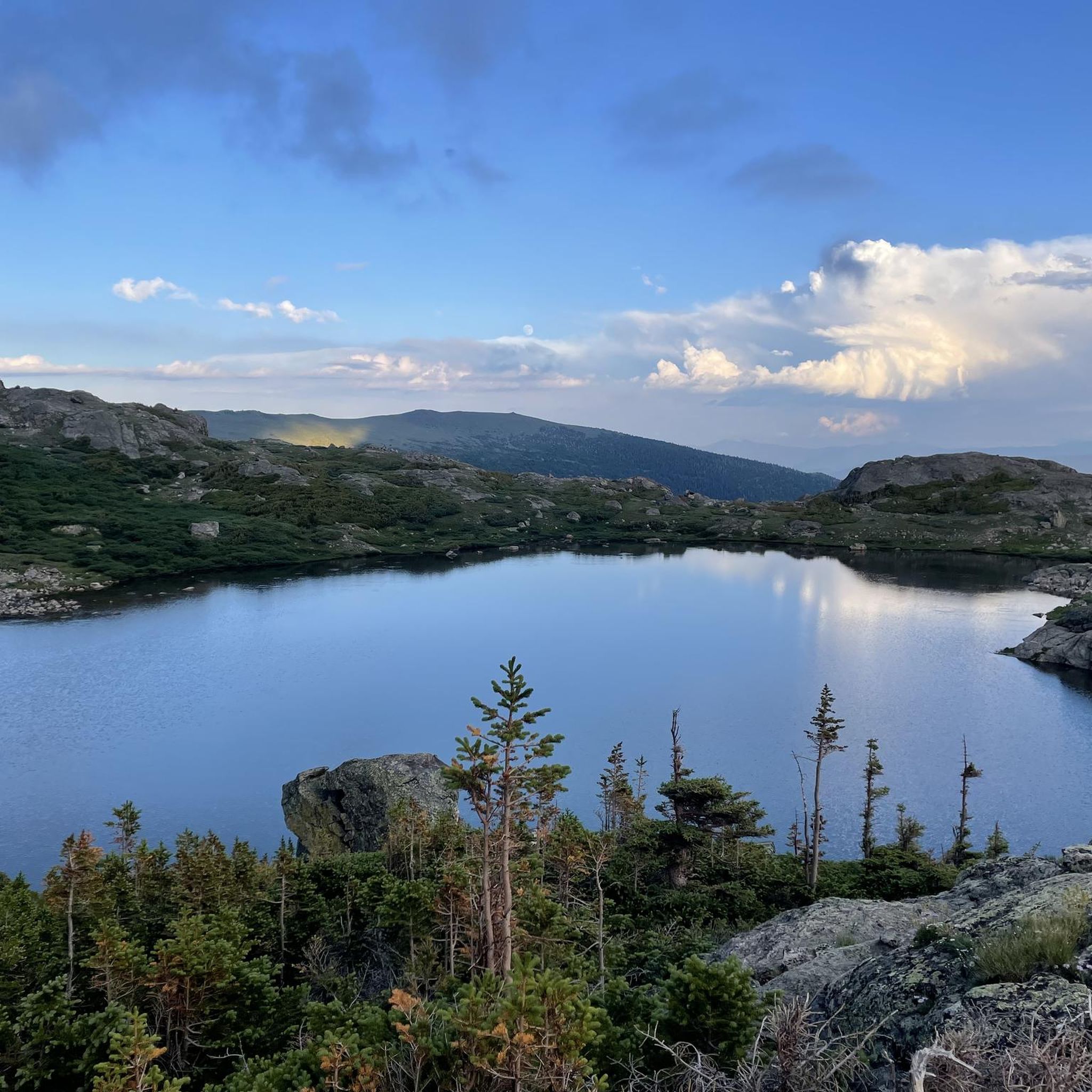
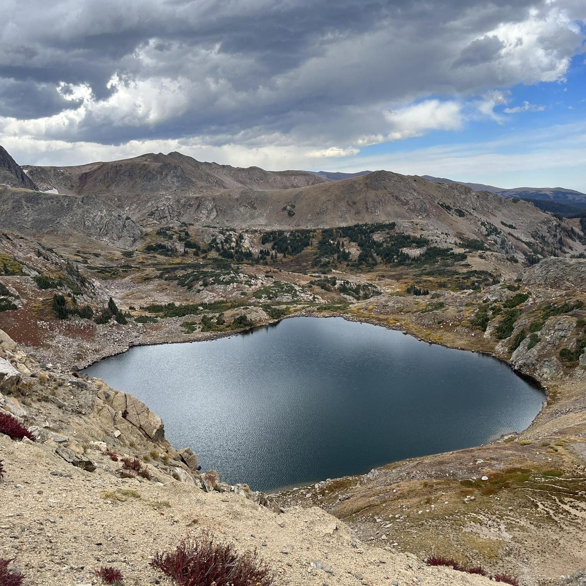
While the core wilderness is for primitive recreation, surrounding routes offer views of the Front Range. You might pass by areas with pristine alpine lakes like Little Echo Lake or Upper Crater Lake. The routes often provide panoramic views of prominent peaks such as James Peak and Mount Flora.
What is the best season for road biking in the James Peak Wilderness area?
The best season for road biking in this high-elevation region is typically late spring through early fall (roughly June to September), when mountain passes are clear of snow and weather conditions are most favorable. Wildflower meadows are vibrant in spring and summer.
Are there any historical points of interest along the road cycling routes?
While not directly on all road cycling routes, the broader area includes historical features such as the Needle's Eye Tunnel, a former high-altitude railroad tunnel. Routes like Guanella Pass Summit from Georgetown offer historic views near Georgetown.
What kind of elevation gain can I expect on these routes?
Road cycling routes in the James Peak Wilderness area feature significant elevation gains. For instance, the Georgetown to Loveland Pass route involves over 1,300 meters (4,300 feet) of ascent, making for a demanding climb.
Are there any specific regulations for cycling within the James Peak Wilderness boundaries?
The James Peak Wilderness itself is managed for primitive recreation, meaning its internal trails are generally not suitable for road cycling and emphasize strict 'Leave No Trace' ethics. Road cycling opportunities are primarily found in the surrounding Arapaho National Forest and other areas bordering the wilderness, where specific regulations may apply to motorized vehicles or certain trail types.
What do other road cyclists enjoy most about road cycling in the James Peak Wilderness area?
Road cyclists frequently praise the challenging climbs, the breathtaking panoramic views from mountain passes, and the opportunity to experience high-elevation ecosystems. The routes offer a rewarding experience for those seeking significant elevation changes and stunning mountain vistas.
Are there options for parking near the road cycling trailheads?
Parking is generally available at or near the starting points of many routes in the surrounding areas, such as in towns like Empire, Georgetown, or Winter Park, which serve as common trailheads for these mountain passes and loops.
Are there any paved cycling routes in the James Peak Wilderness area?
While the wilderness core is rugged, the broader region, particularly within the Arapaho National Forest, offers paved and unpaved roads suitable for road cycling. The Berthoud Pass – Fraser River Trail loop from Winter Park, for example, includes sections along the Fraser River Trail which is mostly paved.
Most popular routes in James Peak Wilderness
Most popular attractions in James Peak Wilderness

Get inspired with the komoot mobile app


Explore more
Browse the best Road cycling routes in other regions.
