Forest Neustädtlein am Forest
Forest Neustädtlein am Forest
The best road cycling routes around Forst Neustädtlein am Forst
4.5
(1159)
13,796
riders
456
rides
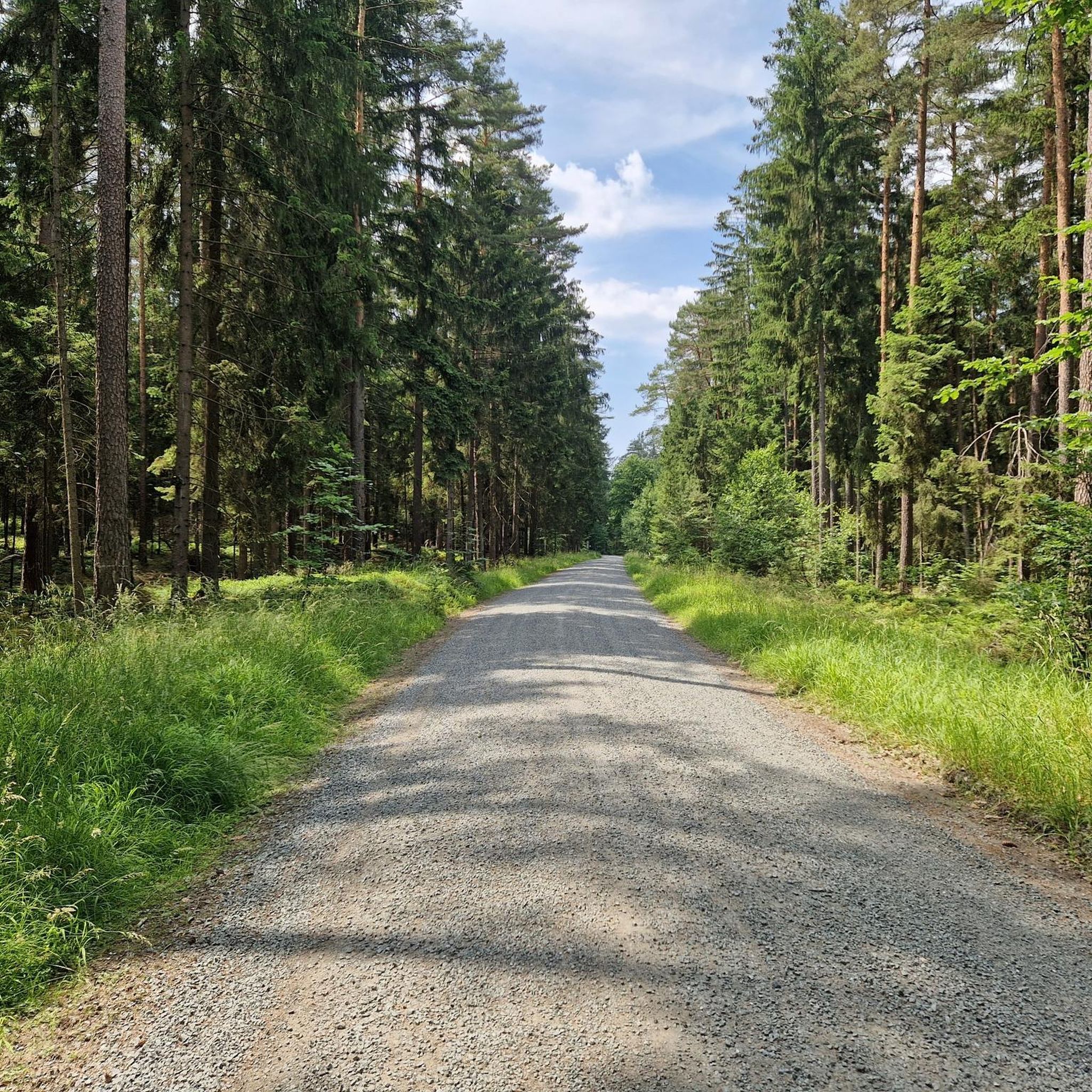
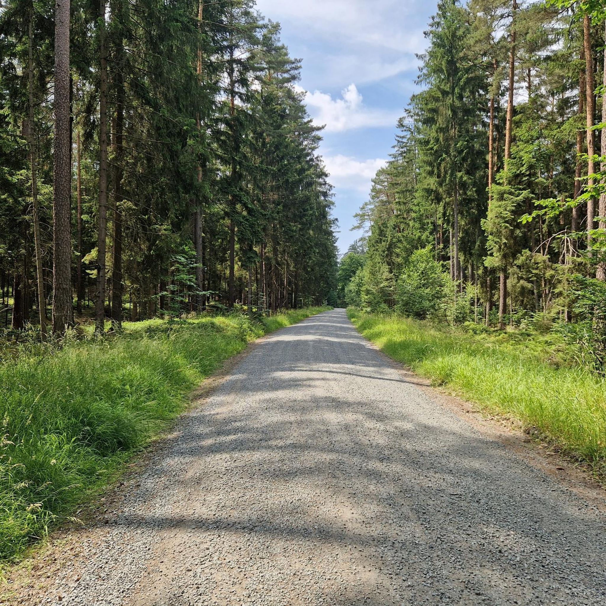
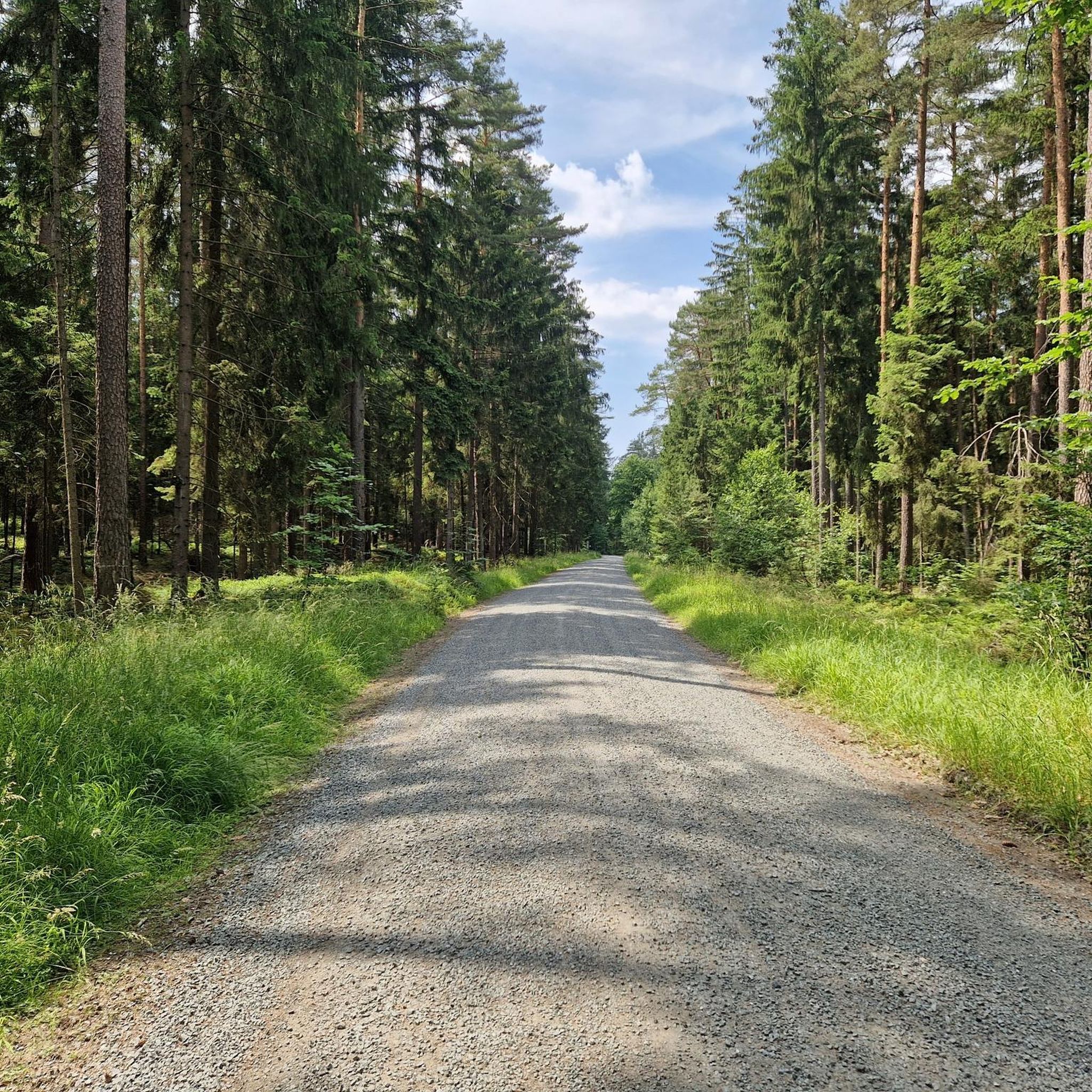
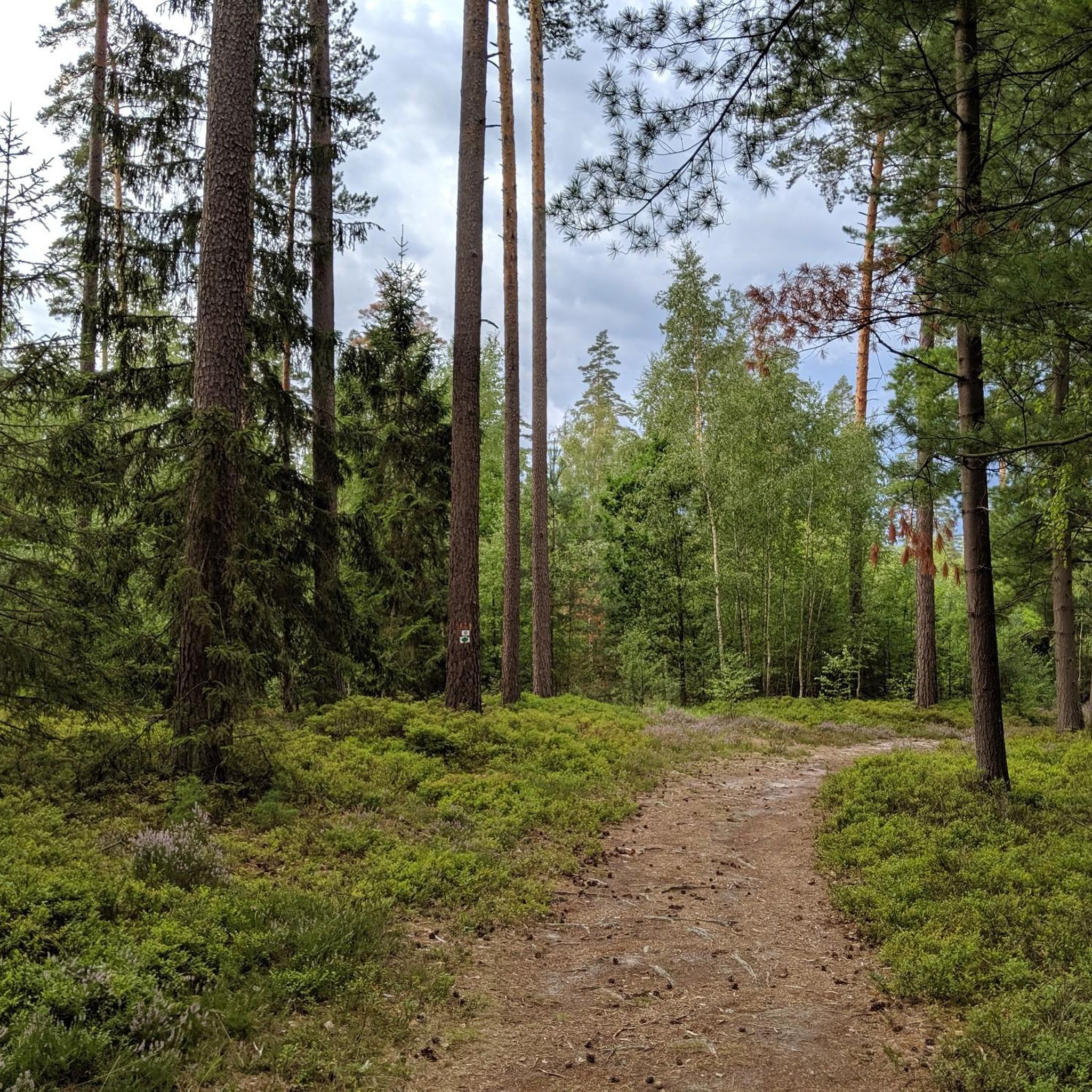
Road cycling routes around Forst Neustädtlein am Forst traverse a predominantly forested and communal-free area in Upper Franconia, Germany. The region features an average elevation of 389 meters, offering varied terrain suitable for road cyclists. Situated on the edge of the Fränkische Schweiz, the landscape includes undulating topography, rolling hills, and extensive woodlands. Well-paved side roads connect picturesque small villages, providing a network for diverse cycling experiences.
Best road cycling routes around Forst Neustädtlein am Forst
- The most popular road…
Last updated: August 22, 2026
5
riders
Moderate road ride. Good fitness required. Some segments of this route may be unpaved and difficult to ride.
4.5
(4)
10
riders
Moderate road ride. Great for any fitness level. Some segments of this route may be unpaved and difficult to ride.

Sign up for free
3
riders
Easy road ride. Great for any fitness level. Mostly well-paved surfaces and easy to ride.
4
riders
24.6km
01:13
270m
270m
Easy road ride. Great for any fitness level. Mostly well-paved surfaces and easy to ride.
5.0
(2)
47
riders
78.5km
04:02
1,270m
1,270m
Hard road ride. Very good fitness required. Some segments of this route may be unpaved and difficult to ride.
Get access to more routes and recommendations from other explorers.
Sign up for free
Already have an account?
Our route recommendations are based on thousands of hikes, rides, and runs completed by other people on komoot.
Start today with a free account
Your next adventure awaits.
Login or Signup

Tips from the Community

A cool cycle path all summer long, always following the "Weissen Main" in the shade of ancient trees and rocks.
0
0

The Rote Main is the longer of the two headwaters of the Main river and significantly shapes the cityscape of Bayreuth. The river owes its name to the clay-rich soils of its catchment area. Especially after rainfall, reddish clay particles are washed into the water, giving it a characteristic reddish-brown color. It originates in the Lindenhardter Forst in the Franconian Switzerland, about 10 kilometers south of Bayreuth. At around 72 to 73 kilometers, it is significantly longer than the Weiße Main. Near Kulmbach (Schloss Steinenhausen), it merges with the Weiße Main to form the actual Main.
3
0

The Walk of Wagner, created in 2013, connects Richard Wagner's residence, Wahnfried, with the Bayreuth Festival Theatre: https://www.bayreuth.de/walk-of-wagner-wo-wagner-wohnte/
0
0
Bischofsgrün is, so to speak, the "heart" of the Fichtel Mountains – a state-recognized health resort nestled in the valley between the two highest peaks in Northern Bavaria, the Ochsenkopf (1024 m) and the Schneeberg (1051 m). Bischofsgrün is the ideal starting point for almost any outdoor activity: The modern Ochsenkopf North Cable Car takes you to the summit year-round. In summer, the Alpine Coaster (a year-round toboggan run), the climbing park, and downhill trails beckon. In winter, the town is a hotspot for downhill and cross-country skiing. The region boasts a vast network of hiking trails, including the famous Franconian Mountain Trail.
4
0

Added to the collection: komoot.com/de-de/collection/3600632/-naturdenkmaeler-besondere-baeume-und-weitere-schaetze-der-natur
0
0

Three years after the death of his wife Wilhelmine, Margrave Friedrich began construction on a new palace, but did not live to see its completion. His daughter Elisabeth Friederike Sophie inherited the property in 1763 and had a late Baroque garden laid out there by 1780. In 1793, Duchess Friederike Dorothee Sophie of Württemberg acquired the palace. The Duchess incorporated the surrounding landscape into the design, creating a wealth of charming decorative structures and garden scenes based on the existing sandstone cliffs. Duke Alexander of Württemberg took fantasy to a new height. He used the palace as a summer residence and had it rebuilt in 1850/1852 into its current form. https://www.schloesser.bayern.de/deutsch/garten/objekte/bay_fant.htm
1
0


Bischofsgrün is the pearl of the Fichtelgebirge.
4
2
Frequently Asked Questions
How many road cycling routes are available in Forst Neustädtlein am Forst, and what are their difficulty levels?
There are over 470 road cycling routes in Forst Neustädtlein am Forst. The region offers a diverse range of options, with approximately 75 easy routes, over 270 moderate routes, and nearly 120 challenging routes, catering to various fitness levels and preferences.
What natural features or landmarks can I expect to see while road cycling in the region?
While cycling, you'll encounter extensive forests and rolling hills. Notable natural features include the Aftergraben Gorge, known for its unique microclimate. The broader area also features the picturesque Teufelsloch-Wasserfälle (Devil's Hole Waterfalls) and the historic Teufelsloch-Steinbogenbrücke (Devil's Hole Stone Arch Bridge). You might also pass by the Upper Franconia Forest Adventure Trail, offering interactive experiences.
Are there any family-friendly road cycling routes in Forst Neustädtlein am Forst?
Yes, the region offers several easy routes suitable for families. These typically feature well-paved surfaces and gentle climbs through picturesque villages and forests. While specific routes are not exclusively designated 'family-friendly,' many of the 75 easy routes provide a pleasant experience for all ages.
What is the terrain like for road cycling in Forst Neustädtlein am Forst?
The terrain is diverse, characterized by undulating topography, rolling hills, and extensive woodlands. With an average elevation of 389 meters, you can expect a mix of gentle ascents and descents. The routes primarily use well-paved side roads with minimal traffic, making them suitable for racing bikes.
What do other road cyclists enjoy the most about road cycling in Forst Neustädtlein am Forst?
The area is highly rated by the komoot community, with an average score of 4.5 stars from over 870 reviews. Road cyclists often praise the quiet, extensive woodlands, the well-paved roads, and the charming small villages encountered along the routes. The varied terrain also offers something for different skill levels.
Are there any circular road cycling routes available?
Yes, many of the road cycling routes in Forst Neustädtlein am Forst are designed as loops, allowing you to start and end at the same point. Examples include the easy Tanzlinde Langenstadt – Margrave's Church, Langenstadt loop from Altenplos and the Popp'n Keller loop from Altenplos, which leads through varied terrain.
Can I find routes with moderate elevation gain for a good workout?
Absolutely. The region's undulating topography provides plenty of opportunities for routes with moderate elevation gain. For instance, the easy Bayreuth Festival Theatre – Paved road to Theta loop from Altenplos offers a ride on paved roads with a good amount of climbing, while the moderate Gasthof Räther beer garden – Thurnau Castle loop from Heinersreuth features over 380 meters of elevation gain.
Are there any places to stop for refreshments or a meal along the routes?
Yes, the region has options for refreshments. The Waldhütte, an inviting excursion restaurant, is accessible via a 19th-century sandstone bridge and makes for a great stop. Many routes also pass through small villages where you might find local cafes or inns.
What is the best time of year for road cycling in Forst Neustädtlein am Forst?
The spring, summer, and early autumn months generally offer the best conditions for road cycling. During these seasons, the weather is typically mild, and the extensive forests provide pleasant shade. The region's well-paved roads are suitable for cycling throughout these periods.
Are there any longer distance road cycling tours available?
Yes, while many routes are shorter loops, the extensive network allows for longer tours by combining sections or choosing more challenging, extended routes. The region's commitment to expanding its cycleway infrastructure means there are increasing options for longer distances, such as the moderate Gasthof Räther beer garden – Thurnau Castle loop from Heinersreuth, which covers over 45 kilometers.
Are there any less crowded road cycling options in the area?
The region is known for its side roads with minimal traffic, particularly the 'Scenic Route from Limmersdorf to Neustädtlein via Simmelbuch' mentioned in regional research. Many of the routes wind through picturesque small villages and extensive forests, offering a serene cycling experience away from busier main roads.
Most popular routes around Forst Neustädtlein am Forst
Most popular attractions around Forst Neustädtlein am Forst

Get inspired with the komoot mobile app


Explore more
Browse the best Road cycling routes in other regions.
