The best walks and hikes in Charles C. Deam Wilderness
4.8
(5)
120
hikers
22
hikes
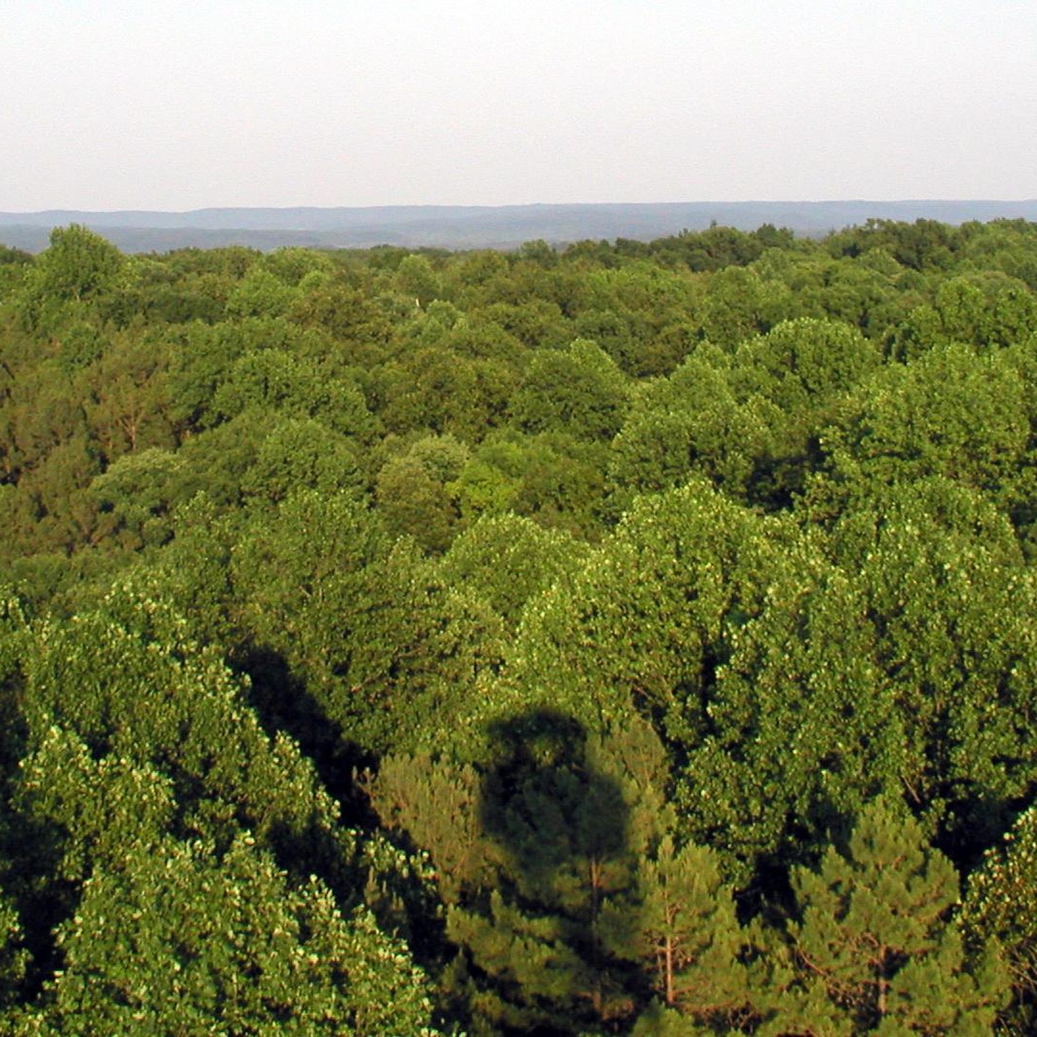
Hikes in Charles C. Deam Wilderness explore Indiana's only designated wilderness area, situated within the larger Hoosier National Forest. The region is characterized by hardwood forests, flat-topped ridges, and trails that provide access to the shoreline of Monroe Lake. The terrain consists of a network of paths that follow old roadbeds and wind through varied forest landscapes.
Best hiking trails in Charles C. Deam Wilderness
- The most popular hiking route is Peninsula Trail to Lake Monroe — Hoosier National Forest…
Last updated: October 11, 2026
5.0
(1)
13
hikers
7.89km
02:04
30m
130m
The Peninsula Trail in Indiana offers a delightful journey through southern Indiana hardwood and pine forests, leading you to the stunning shores of Lake Monroe. You'll experience a mix of…
3
hikers
19.5km
05:09
190m
180m
Embark on the Grubb Ridge and Cope Hollow Loop Trail, a difficult hike that takes you deep into mature hardwood forests. This 12.1-mile (19.5 km) route features rolling hills and…

3
hikers
4.03km
01:06
40m
90m
Embark on the Patton Cave via Grubb Ridge and Hayes Trail for an easy hiking experience through scenic hardwood forests and gentle rolling hills. This route covers 2.5 miles (4.0…
3
hikers
10.5km
02:50
110m
170m
The Grubb Ridge and Peninsula Trail offers a diverse hiking experience within the Charles C. Deam Wilderness, guiding you through deep woods, rolling hills, and ravines. You'll traverse sections of…
3
hikers
11.2km
03:03
160m
180m
Embark on the Hayes Trail and Grubb Ridge Loop for a moderate hike through the diverse landscapes of Hoosier National Forest. This route takes you through rolling hills and deep…
Get access to more routes and recommendations from other explorers.
Already have an account?
Our route recommendations are based on thousands of hikes, rides, and runs completed by other people on komoot.
Start today with a free account
Your next adventure awaits.




Tips from the Community

This is one of the many great spots for viewing Lake Monroe in the Charles C. Deam Wilderness. This is one of the lesser used trail, so you'll likely get this view and a lot of the trail to yourself.
0
0

This viewpoint for Lake Monroe is an excellent spot to stop for a picnic before making your way back down the Peninsula Trail, or to camp overnight at one of the sites next to the lake.
0
0
Just off the trail you can find Patton Cave. This cave is great for people of all caving abilities, but always take precaution when entering any cave. There are many off shoots once you enter the large mouth of the cave, and in some areas you will have to squeeze through very tight enclosures and even crawl. Remember to bring a headlamp for your exploring!
1
0
Frequently Asked Questions
Are dogs allowed on the trails in the Charles C. Deam Wilderness?
Yes, dogs are welcome in the Charles C. Deam Wilderness but must be kept on a leash and under your control at all times. The area is a designated wilderness, so it's important to manage your pet and pack out all waste to protect the natural environment.
What are the trail conditions like and what challenges should I expect?
The trails are generally rugged and can be muddy, especially after rain. You should expect varied terrain with some steep climbs up and down the ridges. Trails are shared with horseback riders, which can affect the surface condition.
Be aware of your surroundings; the area is home to venomous snakes like the timber rattlesnake and copperhead. Also, due to the area's Karst topography, some trails cross streams that can be difficult to pass during high water.
Are there any easy, family-friendly hikes in the area?
While much of the terrain is rugged, there are options for easier outings. The Terrill Ridge Trail — Hoosier National Forest is a relatively flat and shorter trail that follows a ridge, making it a good choice for a less strenuous walk through the forest.
Where can I find the best scenic views in the wilderness?
For the most expansive panoramic views, visit the Hickory Ridge Fire Tower. After climbing the 133 steel steps, you'll be rewarded with a stunning 360-degree vista of the Hoosier National Forest and Monroe Lake. It's one of the highest points in the area and a major landmark.
Can I go backpacking in the Charles C. Deam Wilderness?
Yes, backpacking is a popular activity here. The wilderness offers several loop trails that are ideal for overnight trips, with about 36 miles of trails to explore. You can find designated primitive campsites or practice dispersed camping, but be sure to follow Leave No Trace principles and camp at least 100 feet away from trails and water sources.
How do I get to Patton Cave?
Patton Cave is accessible via the Patton Cave via Grubb Ridge Loop — Hoosier National Forest trail. This route takes you through the forest to the cave entrance. Remember to bring a headlamp or flashlight if you plan to explore inside, and always practice safe caving techniques.
Are there any waterfalls on the hiking trails?
The Charles C. Deam Wilderness is not known for significant waterfalls. The landscape is defined by its Karst topography, which includes ridges, valleys, and streams. While you will encounter many beautiful streams and creeks, you are unlikely to find large, notable waterfalls along the main trail network.
Can I ride horses on the trails?
Yes, most of the trails in the Charles C. Deam Wilderness are multi-use and open to horseback riders as well as hikers. Because of this, hikers should be prepared to encounter horses on the trail and be aware that trail conditions can be impacted by equestrian use.
Is it possible to access the hiking trails from Monroe Lake by boat?
Yes, you can access parts of the wilderness from Monroe Lake. There are several primitive campsites along the shoreline that are accessible by boat. From these points, you can connect with the trail system to begin a hike. Be mindful that lake levels can fluctuate.
What should I know about camping in the wilderness area?
Camping is primitive, meaning there are no facilities like running water or restrooms. You can use designated backcountry sites or find a dispersed spot, but your tent must be at least 100 feet from trails, cemeteries, and water bodies like Monroe Lake. Always check the latest regulations on the official Hoosier National Forest page before your trip.
What do other hikers think of the trails in Charles C. Deam Wilderness?
The trails in this region are very well-regarded by the komoot community. Reviewers often praise the serene solitude of being in Indiana's only designated wilderness, the beautiful hardwood forests, and the unique experience of hiking along the shores of Monroe Lake.
Is there a good circular route for a day hike?
The Martin Hollow Trail & Axsom Branch loop is an excellent choice for a circular day hike. It offers a moderately challenging experience, taking you through classic Deam Wilderness terrain of forested hollows and ridges.
Most popular routes in Charles C. Deam Wilderness
Most popular attractions in Charles C. Deam Wilderness

Get inspired with the komoot mobile app


Explore more
Browse the best Hikes in other regions.
