Routes

Planner

Features

Updates

App

Login or Signup

Get the App

Login or Signup

Routes
Running Trails
United States
California
Inyo County

Death Valley Wilderness

The best running trails in Death Valley Wilderness

5.0

(1)

113

runners

19

runs

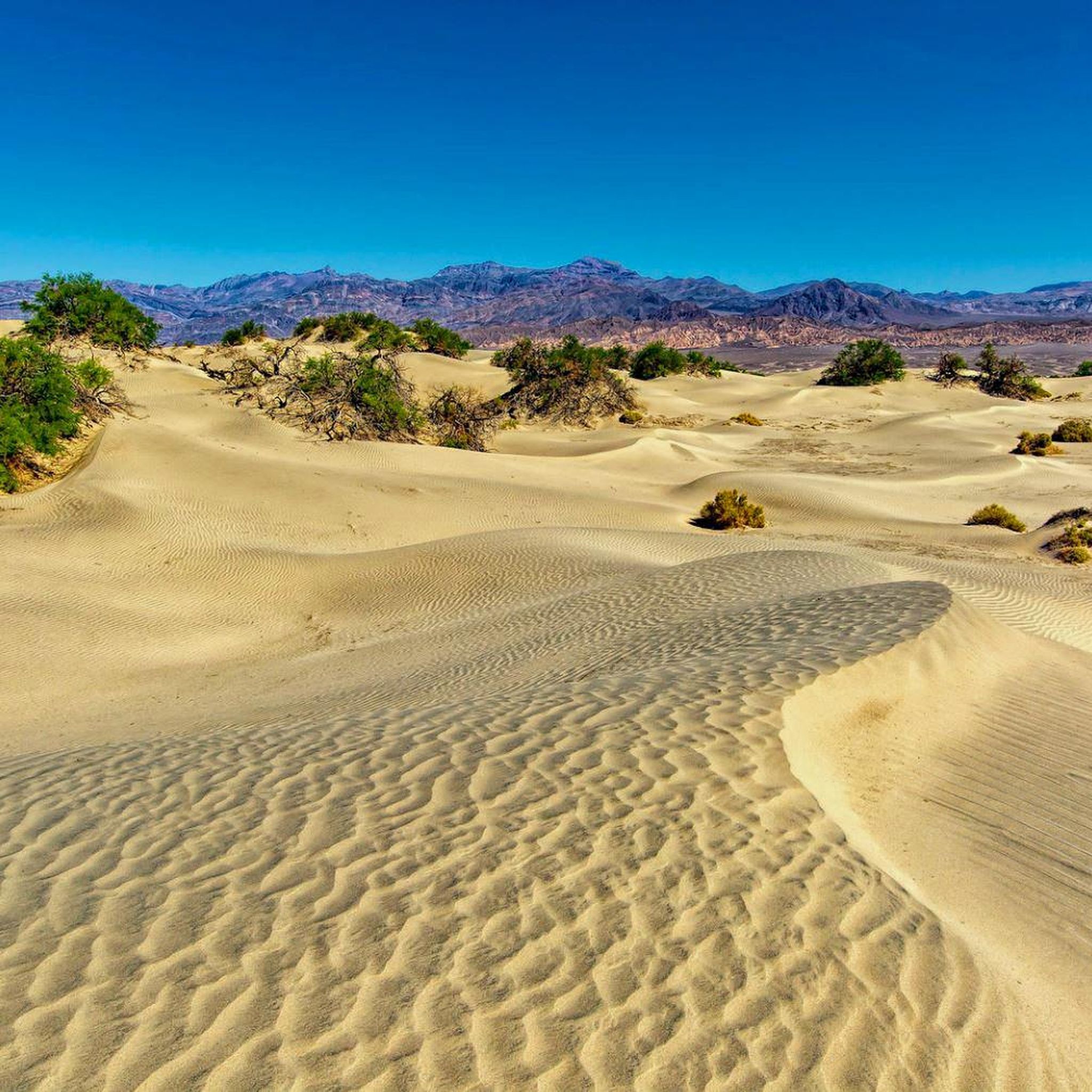
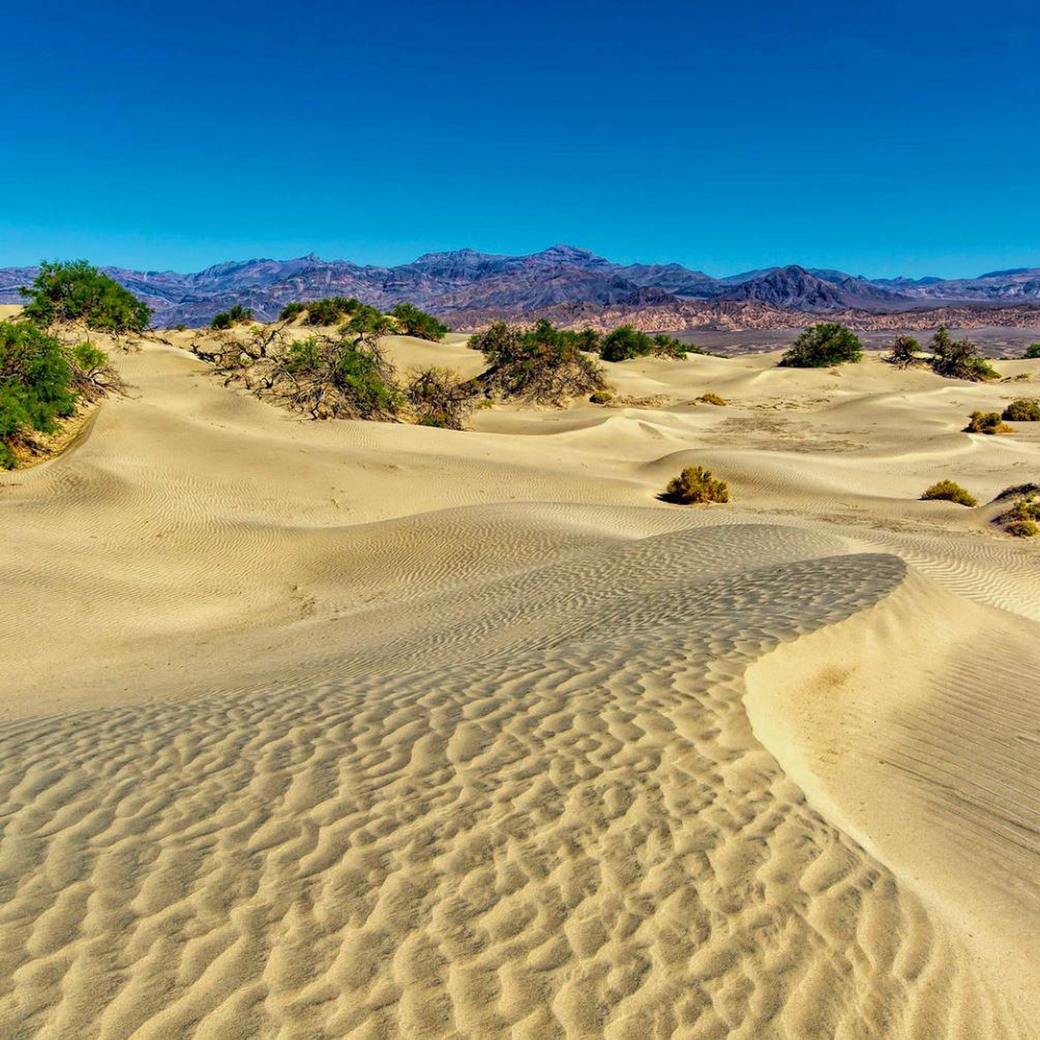
Jogging in Death Valley Wilderness offers a unique experience across a landscape characterized by vast salt flats, towering sand dunes, and colorful canyons. The region features extreme elevations, from the lowest point in North America at Badwater Basin to mountain peaks over 11,000 feet. Runners can navigate through diverse geological formations, including vibrant badlands and polished marble walls. This challenging environment provides varied terrain for running, from flat, expansive salt pans to steep, rocky mountain trails.

Best jogging routes in Death Valley Wilderness

  • The most popular jogging route is Mosaic Canyon Trail, a 2.8 miles (4.6 km) trail that takes about 36 minutes to complete. This moderate route features unique polished marble walls within a narrow canyon.
  • Another top favourite among local runners is Telescope Peak Trail, a difficult 11.9 miles (19.1 km) path. This challenging ascent leads to the park's highest point, offering panoramic views.
  • Local runners also love the Desolation Canyon Trail, a 3.7 miles (6.0 km) trail leading through a rugged canyon landscape, often completed in about 50 minutes.
  • Jogging in Death Valley Wilderness is defined by vast salt flats, towering sand dunes, and colorful canyons. The network offers options for different ability levels, from easy paths to challenging mountain ascents.
  • The routes in Death Valley Wilderness are highly rated by the komoot community with an average score of 4.0 stars from over 0 reviews. More than 85 runners have used komoot to explore Death Valley Wilderness's varied terrain.

Last updated: July 7, 2026

17

runners

#1.

Golden Canyon Trail to Red Cathedral

4.76km

00:39

160m

160m

The Golden Canyon Trail to Red Cathedral offers an unforgettable journey through Death Valley's dramatic landscape, where golden-hued canyon walls give way to a maze of colorful badlands. You'll wind through narrow slots, experiencing terrain that shifts from wide, flat gravel suitable for light jogging to steeper, uneven sections requiring rock steps and minor scrambling. The ultimate reward is the magnificent Red Cathedral, a towering formation of iron-stained red rock that feels truly otherworldly. This route is a moderate 3.0-mile (4.8 km) adventure with 524 feet (160 metres) of elevation gain, typically taking around 38 minutes for a brisk pace, but often longer for those soaking in the views.

Planning your visit means heading to Death Valley National Park, where the trailhead for this popular route is easily accessible. Parking is available, but arriving early is a good idea, especially during cooler months when the park sees more visitors. While the initial stretch is good for jogging, be ready for a more challenging hike as you get closer to Red Cathedral; continuous jogging suitability decreases significantly. Always bring ample water, as the desert environment demands careful hydration.

This trail is renowned for its geological diversity, showcasing golden mudstone, ash deposits, and red-toned rock formations. It's also famous as a Star Wars filming location, adding a touch of cinematic history to your outdoor adventure. The Golden Canyon Trail is part of a larger network, offering options to extend your hike towards Zabriskie Point, making it a versatile choice for exploring the unique landmarks and viewpoints of Death Valley National Park.

Navigate with device

Send to Phone

Save

Moderate

13

runners

4.57km

00:36

240m

240m

Embark on the Mosaic Canyon Trail, a moderate jogging route that winds through a unique geological landscape. This 2.8-mile (4.6 km) journey involves a 778 feet (237 metres) elevation gain, typically completed in about 36 minutes. As you progress, you will encounter striking polished marbleized limestone walls, sculpted by ancient flash floods, and observe the intricate 'mosaic breccia' formations that give the canyon its name. While the initial sections are suitable for jogging, be prepared for challenging terrain further in, involving scrambling over rocks and dry waterfalls.

Planning your visit requires careful consideration due to the desert environment. The trail is situated in Death Valley National Park, and it is essential to carry ample water. To avoid extreme heat, especially between April and October, plan your jogging activity for the cooler parts of the day, such as early mornings. The initial parts of the trail are generally accessible, but the route becomes more demanding as you venture deeper into the canyon.

Mosaic Canyon is renowned for its geological artistry, often likened to a natural art gallery. The polished walls and colorful swirled hues in the bedrock are a testament to the powerful erosive forces of water. These unique formations, where tiny rock fragments are naturally cemented together, create visually stunning patterns that set this trail apart as a distinctive experience within Death Valley.

Moderate
guide_signup
Let us show you the way with the komoot mobile app
With aΒ free komoot account, you can easily find, customize, and navigate endless outdoor adventures.

Sign up for free

8

runners

19.1km

02:56

990m

990m

Prepare for a difficult jogging challenge on the Telescope Peak Trail, a demanding ascent that covers 11.9 miles (19.1 km) and climbs 3252 feet (991 metres) in elevation. You can expect to complete this route in about 2 hours and 56 minutes. As you jog, you will move through varied terrain, starting in pinyon pine and juniper forests before reaching exposed ridge lines. Keep an eye out for ancient bristlecone pine trees, some of which have stood for thousands of years. The ultimate reward is reaching the summit, where you are greeted by expansive 360-degree views across Death Valley's salt flats and the distant Sierra Nevada Mountains.

The Telescope Peak Trail starts at Mahogany Flats Campground, so plan your drive accordingly. Be prepared for significant elevation gain, which can lead to altitude sickness, and always carry plenty of water since there are no refill points along the entire route. During colder months, from late fall through early spring, you might encounter snow and ice, making specialized gear like shoe traction a wise addition to your pack. Always check current conditions before heading out.

This challenging route takes you to the highest point within Death Valley National Park, making it a notable achievement for any jogger. The journey itself is a unique experience, showcasing the park's diverse ecosystems, from high-desert forests to barren, exposed ridges. It offers a distinct perspective on Death Valley, far removed from the more commonly visited valley floor attractions. This trail is a true test of endurance and preparation.

Hard

The Golden Canyon, Gower Gulch and Badlands Loop offers a truly diverse experience, guiding you through towering golden canyon walls and across a maze of colorful, pastel-hued badlands. This moderate 6.6-mile (10.6 km) route, with 849 feet (259 metres) of elevation gain, is a dynamic journey that takes around 1 hour and 14 minutes to complete, showcasing some of Death Valley's most iconic geological features. You'll encounter sandy washes, rocky sections, and narrow ridges, making it an engaging challenge for those seeking varied terrain and scenic viewpoints along Golden Canyon, Gower Gulch, and the Badlands Loop.

While the initial sections of Golden Canyon are more amenable to jogging, the Golden Canyon, Gower Gulch and Badlands Loop jogging difficulty increases significantly in Gower Gulch and the Badlands. Expect light scrambling, rocky dry falls, and undulating paths that require careful footwork. It's best to visit during cooler seasons and always carry ample water. This trail is ideal for adaptable hikers and joggers who appreciate a route that combines physical activity with stunning geological exploration.

This loop is celebrated as one of the most popular hikes in Golden Canyon and Death Valley National Park due to its comprehensive display of the park's geological diversity. It provides intimate access to landmarks like Manly Beacon and offers panoramic vistas of the badlands, often only seen from overlooks. The colorful layers and strata throughout the canyons and badlands provide a visual lesson in the region's ancient lakebed geology, making it a highly rewarding adventure.

Moderate

3

runners

6.02km

00:51

240m

240m

The Desolation Canyon Trail in Death Valley National Park offers a captivating journey through a "barren yet beautiful" desert landscape. As you navigate gravel washes and sandy paths, you'll be surrounded by badlands featuring colorful canyon walls in shades of gold, green, red, and purple. The route culminates in expansive views of Artist Drive, Death Valley, Badwater Basin, and the Panamint Range from the ridgeline, making it a truly unique experience for those seeking dramatic scenery.

This moderate 3.7-mile (6.0 km) out-and-back route involves 777 feet (237 metres) of elevation gain, typically taking about 50 minutes to complete. Be prepared for some scrambling over two dryfalls (8-foot and 6-foot), which means continuous jogging might be interrupted. Since it's an unmarked route in an arid environment, always carry plenty of water and wear sun protection, especially during the late afternoon and early evening when the light is most striking.

Starting below sea level, the trail's geological formations, including mud-cracked earth and varied rock types, are a significant draw. Flash floods can dramatically impact the canyon, leaving behind unique dried sediment patterns. This trail is ideal for those who appreciate a challenging desert run with a focus on geological wonders and panoramic views, rather than a smooth, uninterrupted jog.

Moderate
Sign up for free to see 15 more runs in Death Valley Wilderness.

Get access to more routes and recommendations from other explorers.

Sign up for free

Already have an account?

Our route recommendations are based on thousands of hikes, rides, and runs completed by other people on komoot.

Start today with a free account

Your next adventure awaits.

Login or Signup

Popular around Death Valley Wilderness
Hiking in Death Valley Wilderness

Tips from the Community

mtm05005
January 28, 2024, Golden Canyon Trail

The Golden Canyon Trail is a popular path that leads to Red Cathedral. The path is lined with beautiful, colorful rock formations.

0

0

The Red Cathedral is a crimson cliff that stands out 183 meters above and behind the yellow and brown slopes and walls of the Golden Canyon. The origin of the name comes from the red rocks that have eroded into pillars in some places

0

0

One of the typical rock formations that gives the area its name. It is created by small fragments of rock that are then locked together with a natural cement.

0

0

mtm05005
January 19, 2024, Zabriskie Point

Zabriskie Point is one of the most popular spots in Death Valley National Park. It can be reached by several trails, including the Zabriskie Point Trial, which is not too challenging. The viewpoint gives you a perfect view of the Furnace Creek formation, which is emblematic of the park.

0

0

Gower Gulch Trail leads to a maze of golden colored hills and winding narrow canyons. The Gower Gulch is about 1.5 miles one-way. The most popular routes like the Badlands Loop and Golden Canyon can be combined with one another for longer adventures. There is no water and the canyon can be very hot during to summer months.

0

0

Great viewpoint along the Desolation Canyon Trail. The trail is not as popular as other paths within Death Valley, so there is a good chance you will have the path to yourself and can take your time enjoying the wonderful view of Death Valley.

0

0

Caro "Bandit"
January 19, 2024, Telescope Peak

Telescope Peak is the highest point in Death Valley at 3,380 meters. From here you can see both the highest point in the U.S., Mount Whitney, (Alaska excluded) and the lowest point, Badwater. The trail is about 22 km round trip with about 900 meters of ascent.

3

0

mtm05005
January 19, 2024, Mosaic Canyon Trail

Mosaic Canyon is one of Death Valley's most visited destinations. The path is easily accessible, and it is not too difficult to reach the first dryfall.

0

0

Frequently Asked Questions

How many running routes are available in Death Valley Wilderness?

There are over 10 dedicated running routes in Death Valley Wilderness, catering to various skill levels. These include easy paths, moderate trails, and challenging mountain ascents, ensuring a diverse experience for every runner.

What is the best time of year for running in Death Valley Wilderness?

The ideal time for running in Death Valley Wilderness is during the winter and spring months. Due to extreme summer temperatures often exceeding 116Β°F (47Β°C), it's crucial to avoid strenuous activity during these hotter periods. Always carry ample water and be mindful of the heat.

Are there any easy running trails suitable for beginners or families?

Yes, for an easier experience, consider the Darwin Falls Trail. This route is approximately 3.1 km (1.9 miles) long and offers a relatively flat path, making it suitable for those looking for a less strenuous run or a family outing. Another option is the Furnace Creek Airport Road, which is a 2-mile paved route.

What kind of terrain can I expect on the running routes?

Death Valley Wilderness offers a wide variety of terrain. You'll encounter everything from vast salt flats at Badwater Basin, soft sand dunes at Mesquite Flat, and colorful, winding canyon paths like those found on the Desolation Canyon Trail. Many routes also feature rocky, uneven footing, which is excellent for technical trail running.

Are there any challenging long-distance running routes?

For experienced runners seeking a significant challenge, the Telescope Peak Trail is an excellent choice. This demanding 19.1 km (11.9 miles) ascent leads to the park's highest point, offering strenuous elevation gains and panoramic views. Another difficult option is the Lost Burro Mine via Hunter Mountain Road, which is over 32 km (20 miles) long.

What natural features or landmarks can I see while running?

Death Valley is rich with stunning natural features. You can run past the expansive Badwater Basin Salt Flats, explore the unique polished marble walls of Mosaic Canyon, or witness the vibrant hues of the badlands from Dante's View. The Mesquite Flat Sand Dunes also offer a unique landscape for exploration.

Are dogs allowed on the running trails in Death Valley Wilderness?

Generally, pets are not allowed in the Wilderness areas or on designated trails within Death Valley National Park. They are typically permitted only in developed areas and along roads. Always check specific park regulations before bringing your dog.

What do other runners say about the jogging routes in Death Valley Wilderness?

The running routes in Death Valley Wilderness are highly regarded by the komoot community, with an average rating of 4.0 stars. Over 85 runners have used komoot to explore this region, often praising the unique and diverse landscapes, from salt flats to mountain peaks, and the sense of solitude offered by the vast wilderness.

Are there any specific safety considerations for running in Death Valley?

Yes, safety is paramount. Death Valley is an extreme environment. Always carry ample water, especially outside of winter and spring. Be aware that most routes are rocky with uneven footing, requiring appropriate footwear. When running on roads, exercise caution due to traffic and narrow or non-existent shoulders. Inform someone of your plans and expected return time.

Are there any circular running routes available?

While many trails are out-and-back, some areas offer loop opportunities. For instance, the Gower Gulch to Golden Canyon Loop is a moderate 4-mile dirt trail that provides a circular experience through colorful badlands. Artists Drive is also a challenging nine-mile paved loop popular with runners.

Where can I find parking for the running trails?

Parking is typically available at designated trailheads and visitor centers throughout Death Valley National Park. For example, the Mosaic Canyon Trailhead offers parking directly at the start of the route. It's advisable to check specific route details for precise parking information, as some remote trails may have limited facilities.

Do I need a permit to run in Death Valley National Park?

While general park entrance fees apply, specific permits for running on established trails are not typically required. However, if you plan on extensive cross-country exploration in the designated Wilderness areas or dispersed camping, a wilderness permit may be necessary. For detailed information on park regulations and any required permits, it's best to consult the official National Park Service website: nps.gov.

Most popular routes in Death Valley Wilderness

Hiking in Death Valley Wilderness

Most popular attractions in Death Valley Wilderness

Places to see

Store rating

Get inspired with the komoot mobile app

With aΒ free komoot account, you can easily find, customize, and navigate endless outdoor adventures.

or

Join komoot Now

Store rating

Explore more

Browse the best Running Trails & Routes in other regions.

Inyo National ForestDeath Valley National ParkAmargosa RangeGreenwater RangeFurnace CreekIndependence Creek Wilderness Study AreaLone Pine

Nearby adventure guides

Things to Do in Death Valley National Park

Things to Do in Argus Range Wilderness

background

Get ready to conquer new peaks

Sign up for Free

Explore
RoutesRoute plannerFeaturesHikesMTB TrailsRoad cycling routesBikepackingSitemap
Download the app
Follow Us on Socials

Β© komoot GmbH

Privacy Policy