The best walks and hikes around Flerden
4.6
(1471)
8,750
hikers
363
hikes
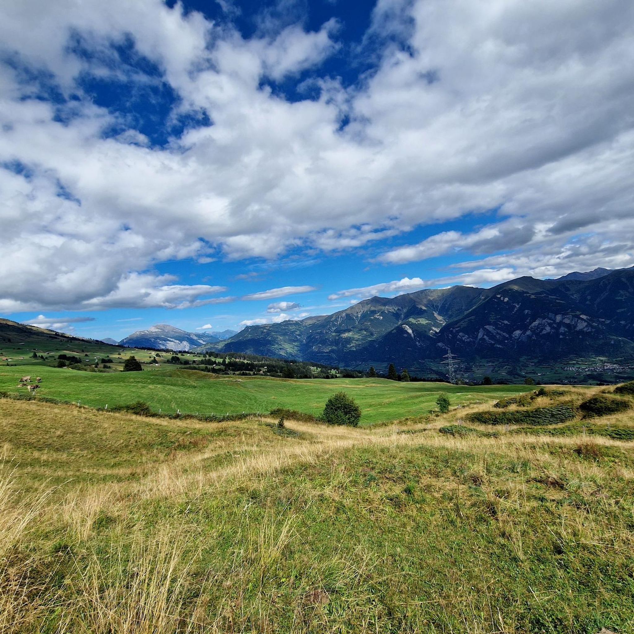
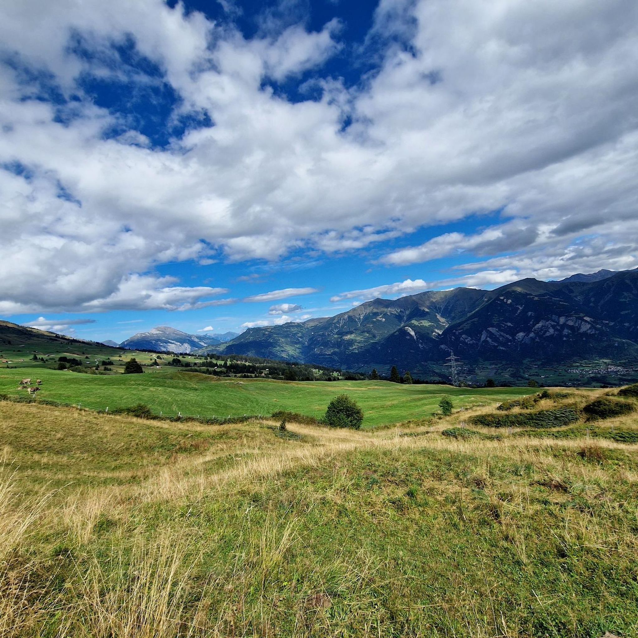
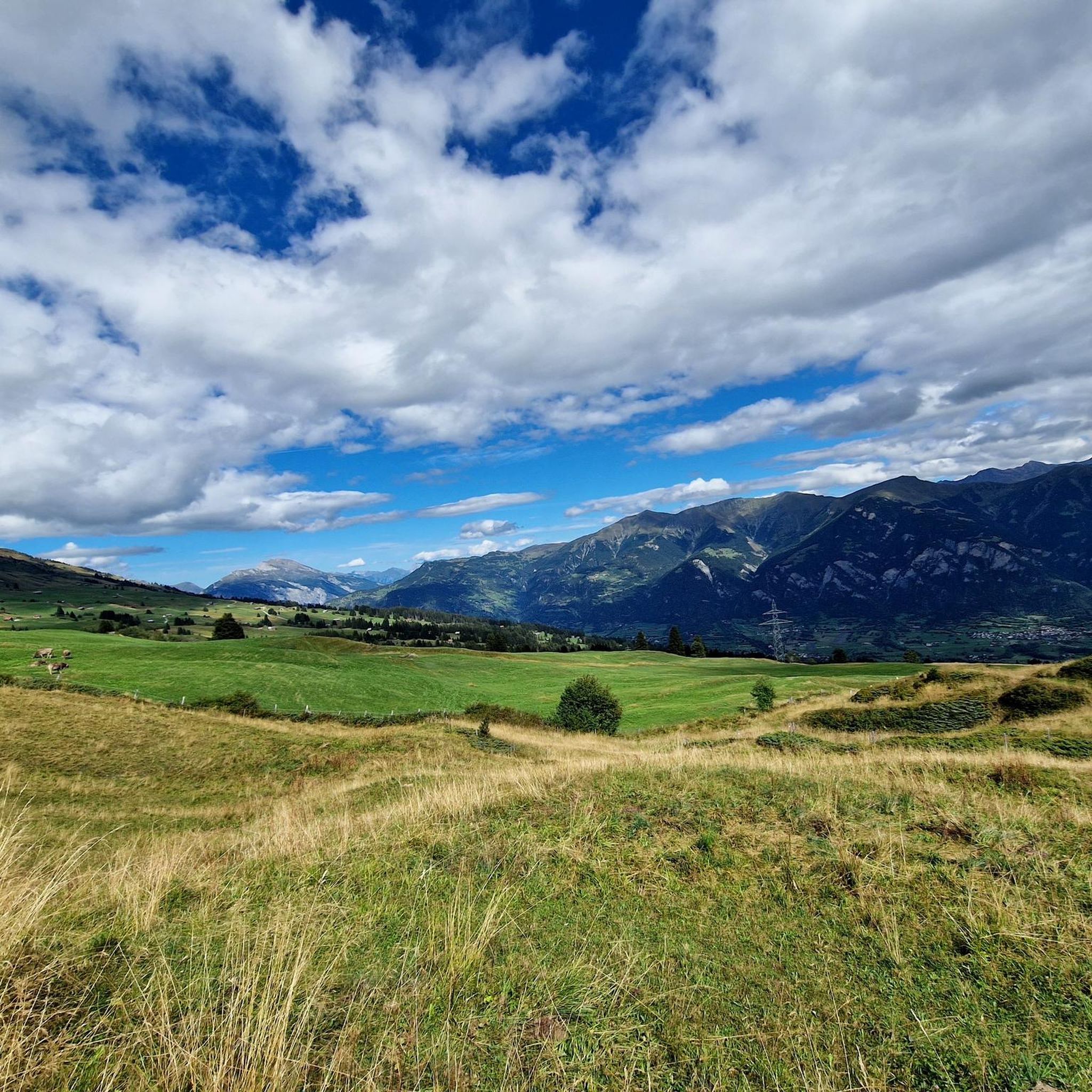
Hiking trails around Flerden, nestled in Switzerland's Graubünden canton, traverse the Heinzenberg region. This area is characterized by diverse terrain, ranging from dense forests to high alpine peaks, offering panoramic views. Key physical features include mountain passes like Glaspass and Bischolpass, and serene mountain lakes such as Pascuminer Lake and Patrutgsee. The landscape provides varied hiking opportunities, from accessible paths to more demanding routes with significant elevation changes.
Best hiking trails around Flerden
- The most popular hiking route is Glaser…
Last updated: June 25, 2026
4.7
(21)
86
hikers
13.5km
04:49
630m
630m
Moderate hike. Good fitness required. Mostly accessible paths. Sure-footedness required.
4.7
(15)
51
hikers
11.7km
03:54
520m
520m
Moderate hike. Good fitness required. Mostly accessible paths. Sure-footedness required.

Sign up for free
4.4
(7)
24
hikers
3.65km
01:14
140m
140m
Moderate hike. Great for any fitness level. Mostly accessible paths. Sure-footedness required.
4.8
(4)
61
hikers
5.91km
01:49
220m
210m
Moderate hike. Great for any fitness level. Mostly accessible paths. Sure-footedness required.
4.3
(4)
25
hikers
7.71km
02:42
340m
340m
Moderate hike. Good fitness required. Mostly accessible paths. Sure-footedness required.
Get access to more routes and recommendations from other explorers.
Sign up for free
Already have an account?
Our route recommendations are based on thousands of hikes, rides, and runs completed by other people on komoot.
Start today with a free account
Your next adventure awaits.
Login or Signup
Tips from the Community

Beautiful view into the Safien Valley
0
0

If you are going for a day of tobogganing on the Heinzenberg, you should not miss a short break here for something to eat and drink. It is a few meters up the mountain from the lift, but the detour is worth it. From here, you can take a leisurely sled ride back down.
0
0


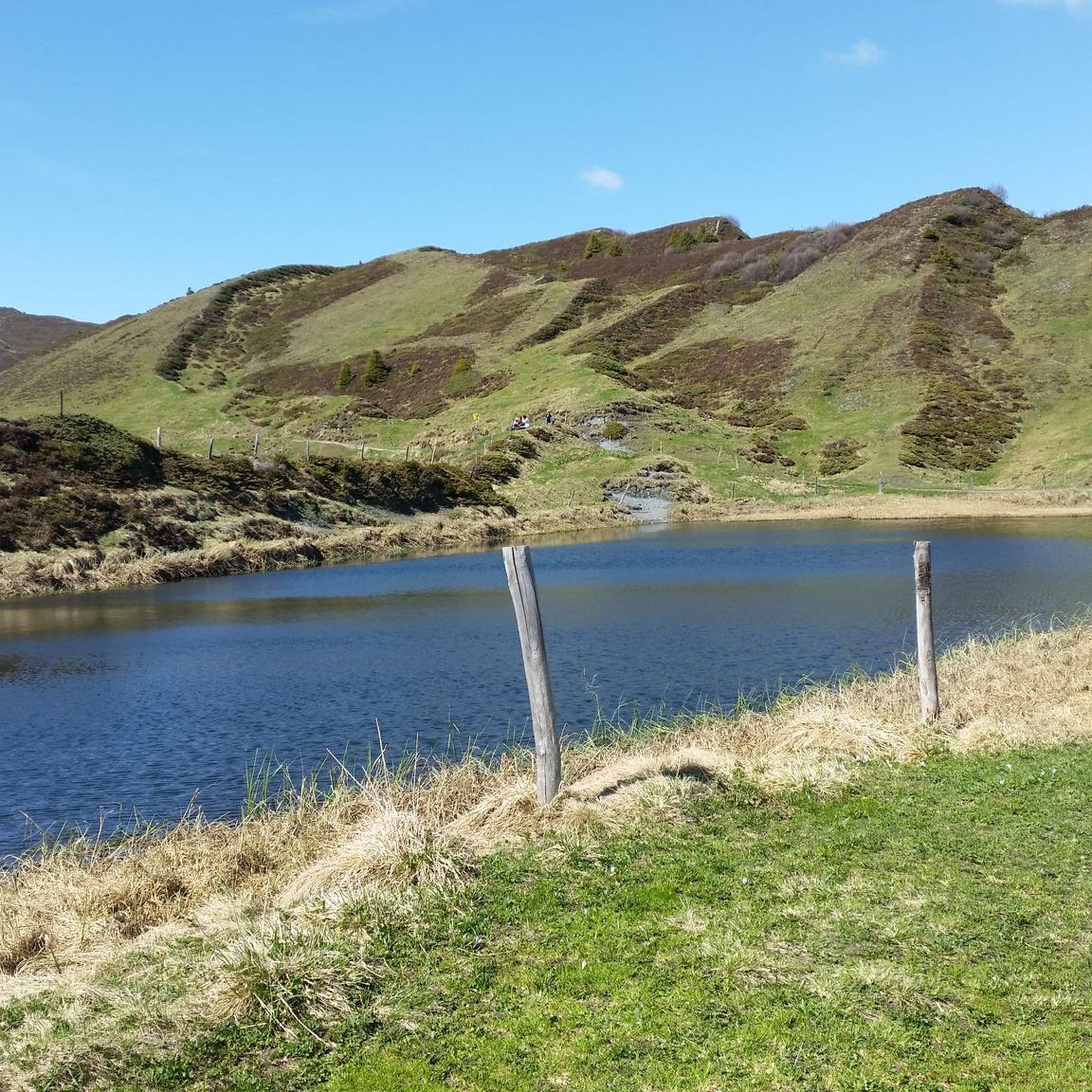
The small Bischolsee is right next to the Alpstrasse. The Pascuminersee is even more beautifully nestled. A place to linger.
6
1
The panoramic view of the Graubünden mountains is simply incomparably beautiful.
6
0

Small bathing lake with kiosk
0
0
The view from the Glaser Grat into the mountains and the two valleys, on the left into the Safiental and on the right into the Domleschg and Val Schons, is fantastic and overwhelming.
10
0
Driftwood ball reminds us of the destructive power. Reto Hänny, writer from Tschappina: Text excerpt from “Chiaroscuro” [p. 162 – 163] (1994): When the rumble rolled down the ravine? Can you remember the dull rumbling, the shaking under your feet; or do you only know all of this from your grandfather’s stories? [...] Pieces of land, hills, then the whole slope, begin to slide, to sag, slowly, barely visible at first, barely a tremor in the branches, then, if you look a moment later, suddenly more quickly, they begin to rise up, to fall over, alders and firs, wedging themselves together, are thrown together like Mikado sticks, stones, splintering wood, fences and broken trunks, whose bare roots protrude from the blue-black mush, clawing in vain for support in the rain-shaded air, dancing over the ditch and down on the mudslide [...]" Trees, rocks, houses, nothing on the Heinzenberg was safe from the raging mountain stream Nolla. The Nolla is a stream with extraordinary power, which shaped the landscape over a wide area and taught the inhabitants of Heinzenberg and Domleschg to fear. When the water level was high, the Nolla carried so much debris, such as rubble or driftwood, down from the Heinzenberg that it literally piled up to form a dam in front of the valley floor, until the force of the water swept these walls away again, triggering a strong flood wave.
11
1
Frequently Asked Questions
How many hiking trails are available around Flerden?
Flerden offers a wide variety of hiking opportunities, with over 370 marked trails. These routes cater to all levels, including 149 easy, 157 moderate, and 66 difficult trails, ensuring there's something for every hiker.
What kind of terrain and landscapes can I expect on hikes in the Flerden region?
The Flerden region, situated in the Heinzenberg area, features incredibly diverse terrain. You'll encounter everything from serene forests to high alpine peaks, offering panoramic views. Key features include mountain passes like Glaspass and Bischolpass, and beautiful mountain lakes such as Pascuminer Lake and Patrutgsee. The landscape provides varied hiking opportunities, from easily accessible paths to more demanding routes with significant elevation changes.
Are there any family-friendly hiking options near Flerden?
Yes, Flerden offers several easy trails suitable for families. While specific family-focused routes aren't detailed, the region's diverse network includes many accessible paths. For a relatively easy loop that offers scenic views, consider the Bischola Pass – Pascuminer Lake loop from Tschappina, which is 2.3 miles (3.7 km) long and takes about an hour to complete.
Can I bring my dog on the hiking trails in Flerden?
Generally, dogs are welcome on most hiking trails in the Flerden region, provided they are kept on a leash, especially in areas with livestock or wildlife. It's always a good idea to carry water for your dog and be mindful of local regulations, particularly around nature reserves or protected areas.
Are there any circular hiking routes in Flerden?
Yes, Flerden is known for its excellent circular routes. A popular choice is the Glaser Ridge – Pascuminer Lake loop from Tschappina, an 8.3-mile (13.4 km) moderate trail that combines scenic ridge views with the tranquility of a mountain lake. Another great option is the Pascuminer Lake – Alp Bischola loop from Tschappina, a 7.4-mile (11.9 km) moderate path that offers varied terrain.
What natural landmarks or scenic viewpoints can I discover while hiking in Flerden?
The Flerden region is rich in natural beauty. Hikers can enjoy grand views, including potential glimpses of Piz Beverin and the surrounding valleys. The area features stunning mountain lakes like Pascuminer Lake and Patrutgsee, and prominent mountain passes such as Glaspass and Bischolpass. For dramatic natural sights, consider visiting the nearby Roffla Gorge or the impressive Viamala Gorge.
Are there any waterfalls to see near Flerden?
Yes, the region around Flerden boasts several beautiful waterfalls. You can explore highlights like the Nolla Waterfall or the Small Waterfall and Cliff Pathway. The Roffla Gorge Waterfall is also a notable natural attraction in the vicinity.
What is the best time of year to hike in Flerden?
The best time to hike in Flerden is typically from late spring through early autumn (May to October), when the weather is mild, and the trails are clear of snow. During these months, you can fully enjoy the lush landscapes, alpine flowers, and accessible mountain passes. Some lower elevation trails might be accessible earlier or later, but higher routes will depend on snowmelt.
Are there places to eat or rest along the hiking trails in Flerden?
Yes, many routes in the Flerden region pass by cozy, heart-led mountain inns ('Berggasthäusern und Bergbeizli'). These establishments provide excellent opportunities for hikers to rest, refuel with local cuisine, and enjoy the hospitality amidst their journeys. It's always a good idea to check opening times, especially during off-peak seasons.
What do other hikers enjoy most about hiking in Flerden?
The Flerden area is highly rated by the komoot community, with an average score of 4.6 stars from over 1,400 reviews. Hikers frequently praise the unparalleled variety of nature, from forests to high peaks, the stunning alpine scenery, and the well-maintained trails that cater to various ability levels. The serene mountain lakes and panoramic views are also often highlighted as favorite aspects.
How long do hikes near Flerden typically take?
Hiking durations in Flerden vary significantly depending on the trail's length and difficulty. You can find short, easy walks lasting under two hours, such as the Bischola Pass – Pascuminer Lake loop which takes about 1 hour 9 minutes. More strenuous alpine tours, like the Obergmeind – Viewpoint at Ober Gmeind loop from Tschappina, can take around 1 hour 49 minutes, while longer routes can extend to five hours or more with significant elevation gain.
Are there any unique cultural walks in Flerden itself?
Within the village of Flerden, there is a unique 'fountain route.' This approximately 45-minute walk focuses on the village's historic fountains and water supply, offering insights into Flerden's early development in water infrastructure. It's a pleasant way to explore the village's heritage.
Most popular routes around Flerden
Most popular attractions around Flerden

Get inspired with the komoot mobile app


Explore more
Browse the best Hikes in other regions.
