The best walks and hikes around Eau Claire
5.0
(1)
93
hikers
20
hikes
Hiking around Eau Claire, Wisconsin, explores a landscape shaped by river valleys, sandstone bluffs, and dense forests within the Chippewa Valley. The region features varied topography with rolling hills and deep-cut river valleys, part of the Driftless Area. The trail network follows the Chippewa and Eau Claire Rivers, passing through natural areas and city parks. Most hiking trails in Eau Claire are easy to moderate, making them accessible for various skill levels.
Best hiking trails around Eau Claire
- The most popular hiking route is Chippewa River and Putnam Trail Loop, a 5.3 miles (8.6 km) trail that takes about 2 hours 11 minutes to complete. This route follows the Chippewa River through multiple city parks.
- Another top favourite among local hikers is Lakeshore Trail loop along Half Moon Lake via Carson Park, an easy 2.0 miles (3.2 km) path. The trail circles Half Moon Lake within the forested peninsula of Carson Park.
- Local hikers also love the Putnam Trail, a 1.4 miles (2.2 km) trail leading through forested hills along the Chippewa River, often completed in about 35 minutes.
- Hiking around Eau Claire is defined by riverside paths, woodland trails, and routes through city parks. The network offers options for different ability levels, with most routes being easy or moderate.
- The guide includes highly-rated routes that showcase the best of the region's landscape. More than 80 hikers have used komoot to explore Eau Claire's varied terrain.
Last updated: October 11, 2026
2.20km
00:36
20m
40m
The Putnam Trail in Eau Claire offers a delightful, easy hike through the serene forest of Putnam Park. It's a perfect choice for those seeking a quick nature fix, providing a peaceful escape into green surroundings without demanding much time or effort. You'll enjoy a straightforward path winding through trees, making it an ideal spot for a relaxing walk or a family outing.
Planning your visit to the Putnam Trail is simple; it's easily accessible within Putnam Park. Parking is usually available, but consider visiting during off-peak hours for the best experience. This short 1.4-mile (2.2 km) route, with only 65 feet (20 metres) of elevation gain, can be completed in about 35 minutes, making it a great option for a spontaneous outdoor adventure.
As a local gem, the Putnam Trail provides an excellent opportunity to connect with nature right in the city. Its easy difficulty and short length make it a fantastic beginner hiking Putnam Trail option, suitable for all ages. It's a wonderful way to experience the natural beauty of Putnam Park and enjoy a breath of fresh air.
4
hikers
3.20km
00:49
10m
10m
The Lakeshore Trail loop along Half Moon Lake via Carson Park offers a wonderfully accessible and scenic escape, perfect for a leisurely outing. This easy 2.0-mile (3.2 km) hike features a mix of paved and unpaved surfaces, including a long, smooth concrete boardwalk that makes it ideal for strollers and wheelchairs. You'll enjoy continuous views of Half Moon Lake, with glimpses of the Braun's Bay wetland, making it a refreshing experience for all ages.
Planning your visit to this popular trail is straightforward; it's an easy hiking trail that takes approximately 49 minutes to an hour to complete, with only 47 feet (14 metres) of elevation gain. The route is dog-friendly, allowing leashed pets, and parking is available within Carson Park. It's a great option for a quick nature fix, especially if you're looking for family-friendly activities.
Beyond the trail itself, Half Moon Lake is a hub for water activities like kayaking and paddleboarding, and Carson Park offers additional points of interest including a historic baseball stadium and local museums. The Lakeshore Trail is also integrated into the larger Chippewa Valley Trail System, providing connections for those who want to explore further. It's a fantastic choice for an easy, engaging walk in Eau Claire.

1
hikers
8.56km
02:12
40m
40m
The Chippewa River and Putnam Trail Loop offers a refreshing blend of urban riverfront and natural parkland, perfect for a diverse outing. You'll start on the paved Chippewa River State Trail, enjoying open views and perhaps some wetlands, before transitioning to the more rugged, dirt paths of the Putnam Trail. Look out for the distinctive arched stone bridge and a unique tunnel, plus a semi-steep climb on newly constructed steps that rewards you with scenic river vistas.
This moderate 5.3-mile (8.6 km) hike, with a gentle 124 feet (38 metres) of elevation gain, typically takes about 2 hours and 11 minutes. The trail is accessible year-round, though the Putnam Trail's natural sections are best enjoyed when dry. While the Chippewa River State Trail is popular for biking, hikers can enjoy the loop without needing a state trail pass. Remember to stay on the main paths within Putnam Park, as some areas are reserved for scientific research.
This loop is a great way to experience Eau Claire's natural beauty, combining the accessible river trail with the more secluded, forested feel of Putnam Park. It's a fantastic option for those seeking a moderate workout with varied scenery, from river bottoms to sandstone bluffs, and offers a unique perspective on the Chippewa River. The mix of paved and dirt terrain makes it an engaging route for a casual stroll or a brisk walk.
11
hikers
4.59km
01:11
20m
20m
Easy hike. Great for any fitness level. Easily-accessible paths. Suitable for all skill levels.
8
hikers
2.04km
00:31
10m
10m
Easy hike. Great for any fitness level. Easily-accessible paths. Suitable for all skill levels.
Get access to more routes and recommendations from other explorers.
Already have an account?
Our route recommendations are based on thousands of hikes, rides, and runs completed by other people on komoot.
Start today with a free account
Your next adventure awaits.

Tips from the Community

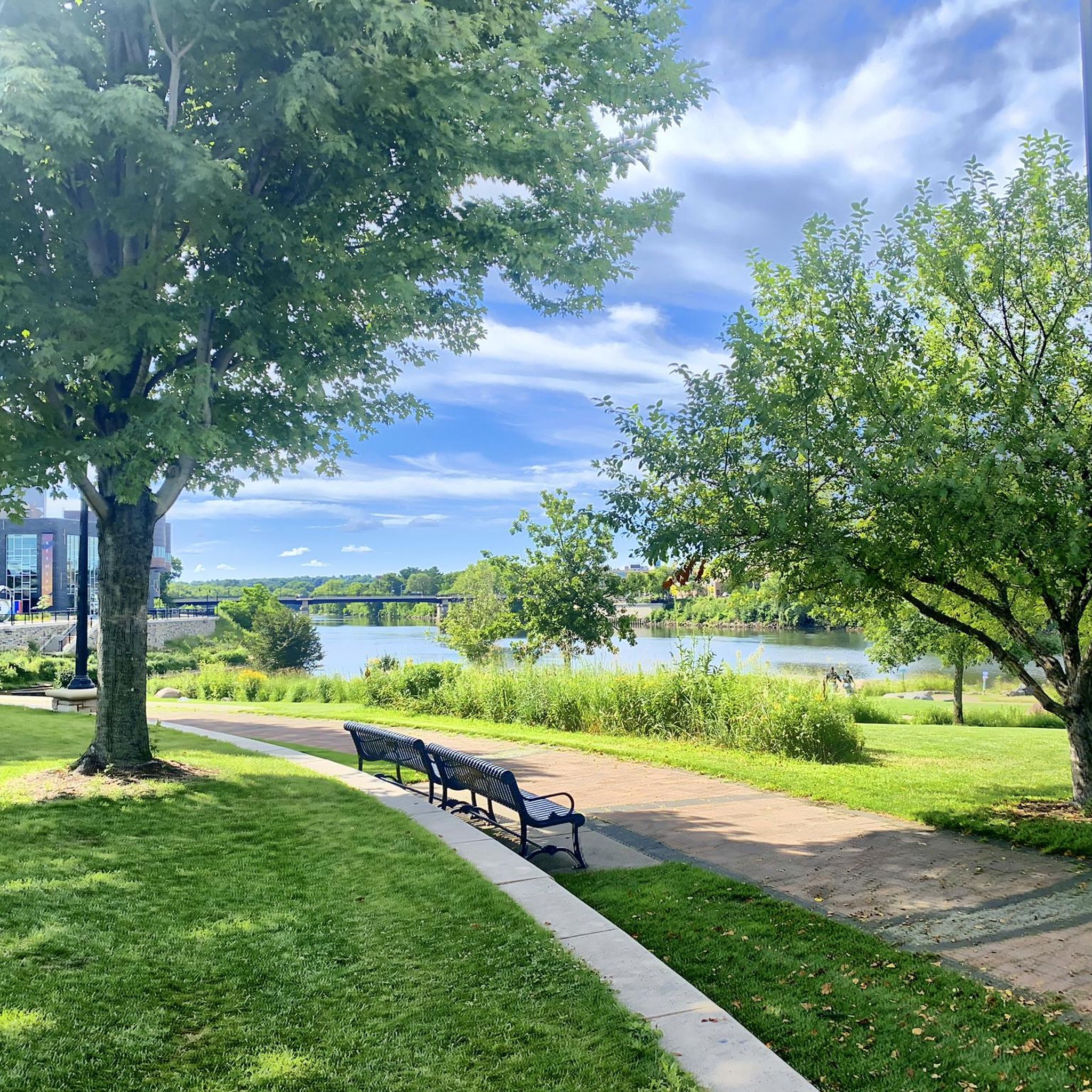
Putnam Park is a 230-acre natural area along the Chippewa River. It has several miles of gravel trails that take you through the forested hills.
0
0
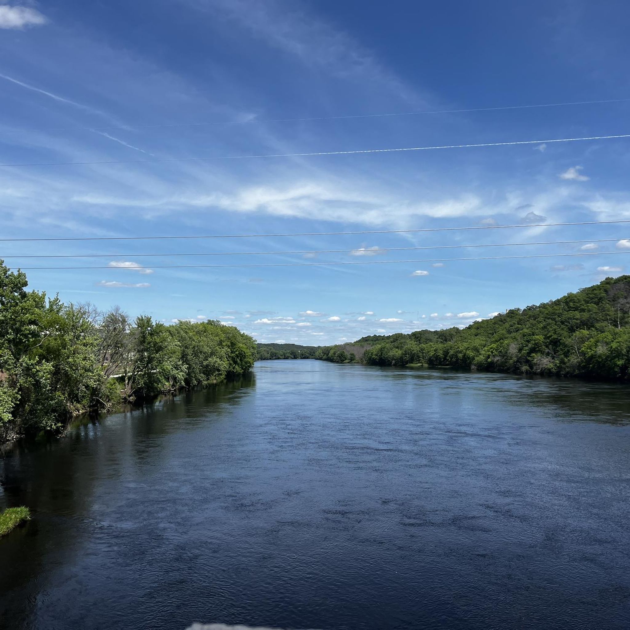
The Chippewa River Bridge is a pedestrian bridge that take you over the Chippewa River. It is part of the Chippewa River State Trail.
0
0

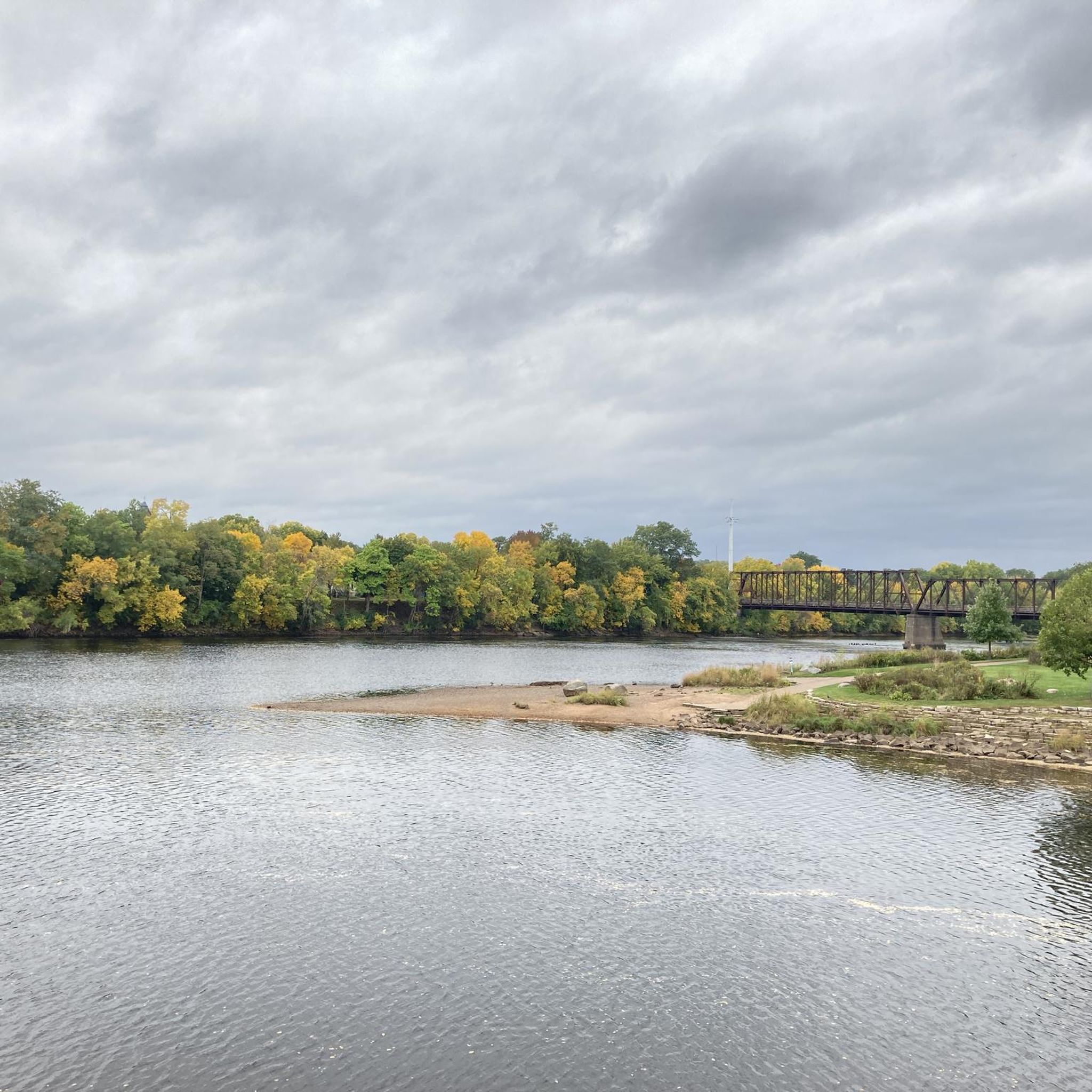
Phoenix Park Bridge is the starting point of Chippewa River State Trail and crosses the river of the same name. The bridge's special feature is, that it can be illuminated in the color of your choice for a fee. A very special way to convey your message.
0
0
Horseshoe-shaped Half Moon Lake, is a lake in the western part of the city of Eau Claire. It surrounds Carson Park and got its name from the 'half moon' it forms around the peninsula. The lake has a size of 135 acres and is a popular area for boating, fishing and swimming next to the beach in the northern lake's section.
0
0
Lakeshore Trail follows the southern shore of Half Moon Lake. It's a short and flat trail and therefore easy to hike. From the trail, you get nice views of Carson Park on the other side of the lake.
0
0
Putnam Park is a 230-acre state natural area at the shore of the Chippewa River in the city of Eau Claire, Wisconsin. It is owned by the University of Eau Claire. The area is mostly forested and a popular spot for birdwatching (e.g. hawks, wild turkeys, eagles, woodpeckers).
0
0
Phoenix Park Bridge is the starting point of Chippewa River State Trail and crosses the river of the same name. The bridge's special feature is, that it can be illuminated in the color of your choice for a fee. A very special way to convey your message.
0
0
This bridge crosses the Chippewa River parallel to Highway 12 and is intended as an alternative for walkers and bikers. The bridge is part of the Chippewa River State Trail.
0
0
Frequently Asked Questions
Are there easy, family-friendly hiking trails in Eau Claire?
Yes, Eau Claire has many options for families. The area features a large number of easy trails, often paved and running through city parks. A great choice is the Centennial Park loop — Altoona, a gentle walk that's perfect for all ages and can be completed in under an hour.
Where can I find hikes with waterfalls near Eau Claire?
For waterfalls, head to Big Falls County Park. It's a local favorite, featuring stunning cascades over ancient rock formations on the Eau Claire River. You can hike along the river and explore the impressive rocks. Another unique spot is Devil's Punchbowl, which has a small waterfall dropping into a scenic, bowl-shaped canyon.
Can I bring my dog on the hiking trails?
Many parks and trails in the Eau Claire area are dog-friendly, but regulations can vary. Generally, dogs must be kept on a leash. Places like Lowes Creek County Park are popular with dog walkers. Always check the specific rules for the park you plan to visit before you go.
Are there good circular or loop hikes available?
Absolutely. Many trails are designed as loops, making for convenient hikes without the need to backtrack. For a short and scenic walk, the Phoenix Park Bridge loop from Eau Claire offers lovely river views right in the city.
What is the general difficulty of the hiking trails in the area?
The trails around Eau Claire are generally accessible, with the majority rated as easy or moderate. The terrain is characterized by rolling hills and riverside paths rather than steep mountain climbs. This makes it an excellent destination for casual hikers and those looking for relaxing walks in nature.
Is parking available at the main trailheads?
Most major parks, such as Lowes Creek County Park and Big Falls County Park, have designated parking areas. Be aware that some county parks may require a small fee for parking or a vehicle pass. For trails within the city, you can often find street parking or public lots nearby.
What are some popular places to hike around Eau Claire?
Besides the trails in this guide, locals highly recommend several spots:
- Big Falls County Park: Famous for its beautiful waterfalls and wooded terrain.
- Lowes Creek County Park: A 250-acre park with a variety of trails for hiking and biking.
- Dells of the Eau Claire River: Known for its dramatic rocky gorge and scenic rapids.
What kind of scenery can I expect on the trails?
The scenery is defined by the region's location in the Chippewa Valley and the Driftless Area. Expect to see trails that wind along the Chippewa and Eau Claire Rivers, pass through dense forests, and open up to views from sandstone bluffs. Parks like Putnam Park offer an immersive woodland experience right in the city.
Are there any long-distance hiking options?
Yes, the Chippewa River State Trail is a key long-distance path for both hiking and biking. It connects various parks and communities along the river, allowing for extended adventures. You can hike a short section or plan a much longer journey along its scenic route.
What is the best time of year for hiking in Eau Claire?
Hiking is enjoyable from spring through fall. Summer offers lush green forests and warm weather perfect for exploring the river trails. However, autumn is particularly spectacular, as the hardwood forests in places like Hoffman Hills Recreation Area display breathtaking fall colors.
Are there any trails with good viewpoints or observation towers?
For panoramic views, visit Hoffman Hills Recreation Area. It features a 60-foot observation tower that provides incredible vistas of the surrounding Chippewa Valley. Another rewarding hike is the climb to the top of Mount Simon, which overlooks the city and the Chippewa River.
What makes Beaver Creek Reserve a good place for a hike?
Beaver Creek Reserve offers a unique experience focused on nature and wildlife. Its nine miles of trails cross through diverse habitats, including woodlands, wetlands, and savannas. It's an excellent choice if you're interested in bird watching and learning about the local ecosystem.
Most popular routes around Eau Claire
Most popular attractions around Eau Claire

Get inspired with the komoot mobile app


