The best cycling routes around Ridgeley
5.0
(10)
133
riders
9
rides
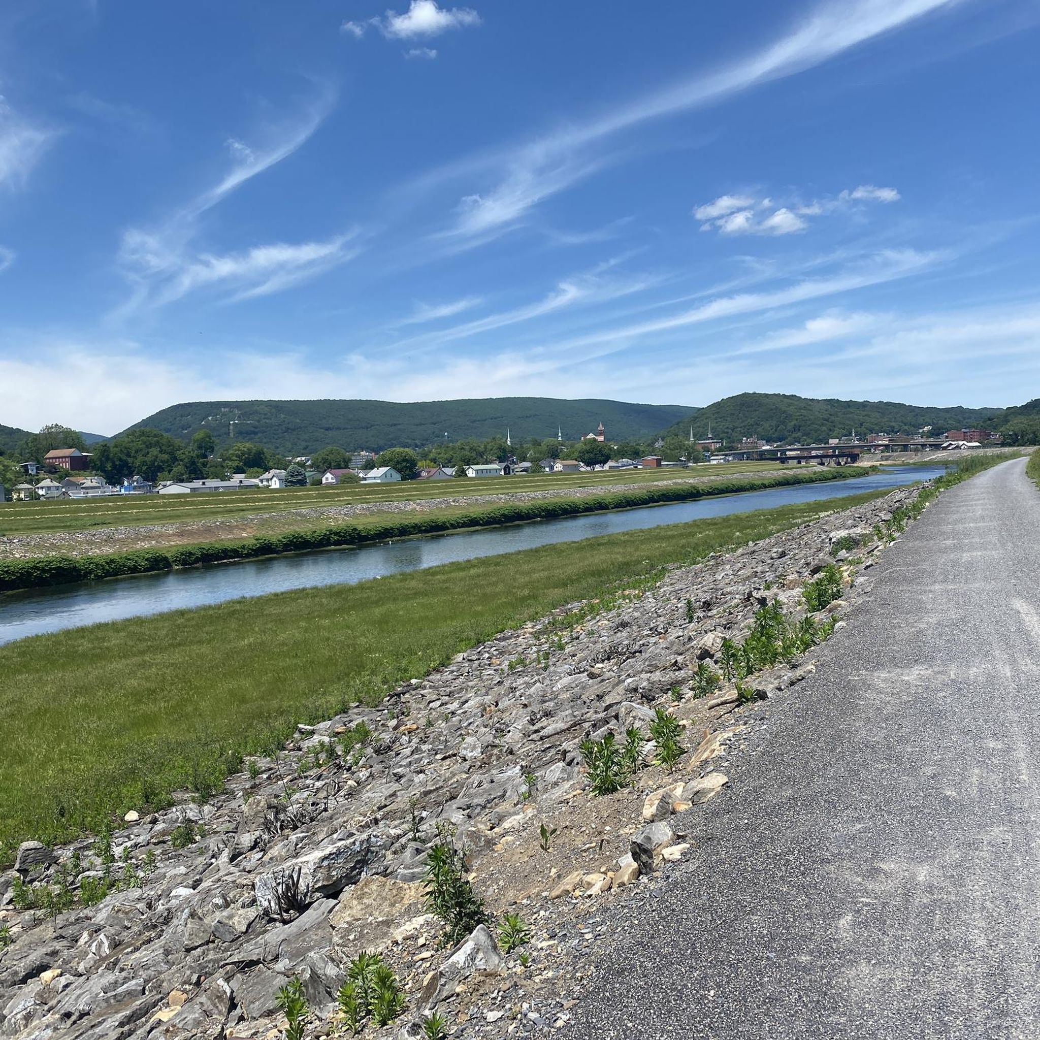
Touring cycling around Ridgeley, West Virginia, offers access to extensive trail networks along the North Branch of the Potomac River. The region is characterized by the Ridge and Valley physiographic province, featuring distinctive topography and prominent geological formations. Cyclists can explore the historic Chesapeake & Ohio Canal (C&O Canal) Towpath and connect to the Great Allegheny Passage (GAP Trail) for longer journeys. This area provides a blend of riverine scenery and historical railway paths.
Best touring cycling routes around Ridgeley
…Last updated: June 27, 2026
1
riders
36.5km
02:21
390m
390m
Cycle the moderate 22.7-mile Mount Savage - Great Allegheny Passage Loop, gaining 1270 feet of elevation through scenic valleys and historic
5.0
(4)
63
riders
43.1km
04:04
520m
520m
Hard bike ride. Very good fitness required. Mostly paved surfaces. Suitable for all skill levels.

Sign up for free
5.0
(3)
36
riders
95.6km
08:38
250m
250m
Hard bike ride. Very good fitness required. Mostly paved surfaces. Suitable for all skill levels.
5.0
(2)
14
riders
21.3km
01:52
260m
260m
Moderate bike ride. Good fitness required. Mostly paved surfaces. Suitable for all skill levels.
4.6
(5)
20
riders
17.1km
01:16
40m
40m
Easy bike ride. Great for any fitness level. Mostly paved surfaces. Suitable for all skill levels.
Get access to more routes and recommendations from other explorers.
Sign up for free
Already have an account?
Our route recommendations are based on thousands of hikes, rides, and runs completed by other people on komoot.
Start today with a free account
Your next adventure awaits.
Login or Signup
Popular around Ridgeley

Tips from the Community

One of my favorites! Mostly flat and easy with some slightly uphill sections. Family friendly with wi-fi connectivity, food resupply and lodging/camping available (not too many options as the C&O is offering.... just plan ahead)
0
0

The Western Maryland Scenic Railroad crosses two historic girder bridges built by the Cumberland & Pennsylvania Railroad. Now part of the scenic route traveled by the Frostburg Flyer, these bridges show off iconic views of steam locomotives climbing the final stretch into town, which are popular among train photographers.
0
0
Northwest of Cumberland sits Mount Savage Historic District, a former industrial hub that is home to nearly 200 buildings and sites from the 19th and early 20th centuries. This area was once a booming hub for iron, coal, brick, and rail industries. Highlights include “Old Row,” a line of vertical-board duplexes built around 1840, which is listed in the National Register of Historic Places.
0
0

This is a nice flat spot with a grill, fire ring, and picnic tables. It is named after the Pigman family, which was influential in this region in the early 1800s. The ferry itself is a mile and a half west along the trail.
0
0
This is a flat primitive campsite with restrooms, grills, and picnic tables. The tracks are nearby so you can expect to hear trains periodically through the night.
0
0

The Trail Inn Lodging & Campground is a great place to stop as you are traveling along the GAP. There is food, camping, a hostel and private rooms.
0
0
The official Mile 0 of the Great Allegheny Passage is found in downtown Cumberland under the arch, next to the train station and connected to the northern terminus of the C&O Canal and Towpath. The town is well-connected, with Amtrak service and ample overnight parking.
0
0
The Brush Tunnel is a 911-foot-long tunnel along the GAP that takes you through the Allegheny Mountains. The tunnel was constructed in 1911 by the Western Maryland and there is still an active train line that runs through it.
1
0
Frequently Asked Questions
What types of touring cycling routes can I find around Ridgeley?
Around Ridgeley, you'll find a variety of touring cycling routes, primarily featuring riverine scenery along the Potomac, historical canal towpaths, and former railway lines. The region is known for its access to the extensive Chesapeake & Ohio Canal (C&O Canal) Towpath and connections to the Great Allegheny Passage (GAP Trail).
How many touring cycling routes are available in the Ridgeley area?
There are 8 touring cycling routes available around Ridgeley. These routes offer a range of difficulties, including 1 easy, 4 moderate, and 3 difficult options, catering to various skill levels.
Are there any family-friendly cycling routes suitable for beginners?
Yes, for families or beginners, the area offers easier sections of the C&O Canal Towpath, which is largely level. While specific 'easy' routes are available, the C&O Canal provides a gentle, continuous path ideal for a relaxed family ride. One of the routes listed is rated as easy.
What are some notable historical or scenic points of interest along the cycling routes?
Cyclists can explore several historical and scenic points. Along routes like the Helmstetter’s Curve – Brush Tunnel loop from Cumberland, you'll encounter historical railway features such as Helmstetter’s Curve and the Brush Tunnel. The Knobley Tunnel Trail also offers access to a 1,500-foot tunnel and a wooden bridge over the North Branch of the Potomac River.
Can I connect to long-distance cycling trails from Ridgeley?
Absolutely. Ridgeley's proximity to Cumberland, Maryland, allows direct access to the C&O Canal Towpath. In Cumberland, the C&O Canal Towpath connects to the Great Allegheny Passage (GAP Trail), enabling extended cycling journeys towards Pittsburgh, Pennsylvania.
Are there any circular touring cycling routes in the area?
Yes, there are circular routes available. For instance, the Mount Savage - Great Allegheny Passage Loop is a popular 22.7-mile (36.5 km) circular route. Another option is the Big Savage Tunnel – Mason-Dixon Line Monument loop from Cumberland, which is a more challenging 47.6-mile (76.6 km) loop.
What is the best time of year to go touring cycling in Ridgeley?
The best time for touring cycling in Ridgeley is generally during the spring, summer, and fall months when the weather is mild and the trails are in good condition. The scenic views along the Potomac River and the changing foliage in autumn are particularly appealing.
What do other touring cyclists enjoy most about cycling in Ridgeley?
The area is highly rated by the komoot community, with an average score of 4.9 stars from over 19 reviews. Reviewers often praise the blend of riverine scenery, historical canal towpaths, and former railway lines, as well as the connection to major long-distance trails like the C&O Canal and GAP Trail.
Are there any routes that offer views of the distinctive regional geology?
While specific routes aren't named for geological features, the landscape around Ridgeley is characterized by the Ridge and Valley physiographic province, featuring conspicuous outcrops of the erosion-resistant Ridgeley Sandstone. Cyclists on the C&O Canal Towpath will experience the region's distinctive topography along the North Branch of the Potomac River.
Is there public transport access to the cycling trails, or is parking available?
While direct public transport to all trailheads might be limited, Ridgeley and the greater Cumberland area serve as access points to the C&O Canal Towpath. Parking is generally available at various access points along the C&O Canal and GAP Trail, particularly in towns like Cumberland, which is directly across the river from Ridgeley.
What is a challenging long-distance touring cycling route in the area?
For a challenging long-distance ride, consider the Evitt's Creek Campsite – Paw Paw Tunnel loop from Cumberland. This route is 59.4 miles (95.6 km) long and leads through the C&O Canal Towpath, often taking around 8 hours and 37 minutes to complete, making it a demanding option for experienced touring cyclists.
Are there any routes that pass by the Western Maryland Scenic Railroad?
Yes, routes in the area, particularly those near Cumberland and Ridgeley, may offer views of the Western Maryland Scenic Railroad. This railroad operates passenger excursion trains through the scenic Allegheny Front, passing points like Helmstetter’s Curve and Brush Tunnel, which are also accessible via cycling routes such as the Helmstetter’s Curve – Brush Tunnel loop from Cumberland.
Most popular routes around Ridgeley
Most popular attractions around Ridgeley

Get inspired with the komoot mobile app


Explore more
Browse the best Cycling routes in other regions.
