The 11 Most Amazing Peaks around Keutschach am See
Best mountain peaks around Keutschach am See are found in a region characterized by rolling hills, extensive forests, and a valley of four lakes. While not featuring towering alpine peaks, the area offers several elevated points that provide scenic value and unique features. These locations are notable for their panoramic views, historical significance, or as starting points for various outdoor activities. The landscape provides diverse natural features for exploration, ranging from gentle ascents to more challenging routes.
Best mountain peaks…
Last updated: July 1, 2026
Pyramidenkogel Observation Tower
Highlight • Viewpoint
Translated by Google •
Tip by

Kathreinkogel Archaeological Site and Church
Highlight • Historical Site
Translated by Google •
Tip by

Sign up now to discover places like this
Get recommendations on the best single tracks, peaks, & plenty of other exciting outdoor places.
Sign up for free
View of Wörthersee and Pyramidenkogel from Pirkerkogel
Highlight • Viewpoint
Translated by Google •
Tip by
View of Lake Wörthersee from Kathreinkogel
Highlight • Viewpoint
Translated by Google •
Tip by
View of Lake Wörthersee from Hoher Gallin
Highlight • Viewpoint
Translated by Google •
Tip by

Sign up for free to discover even more peaks around Keutschach am See.
Sign up for free
Already have an account?
Start today with a free account
Your next adventure awaits.
Login or Signup
Popular around Keutschach am See
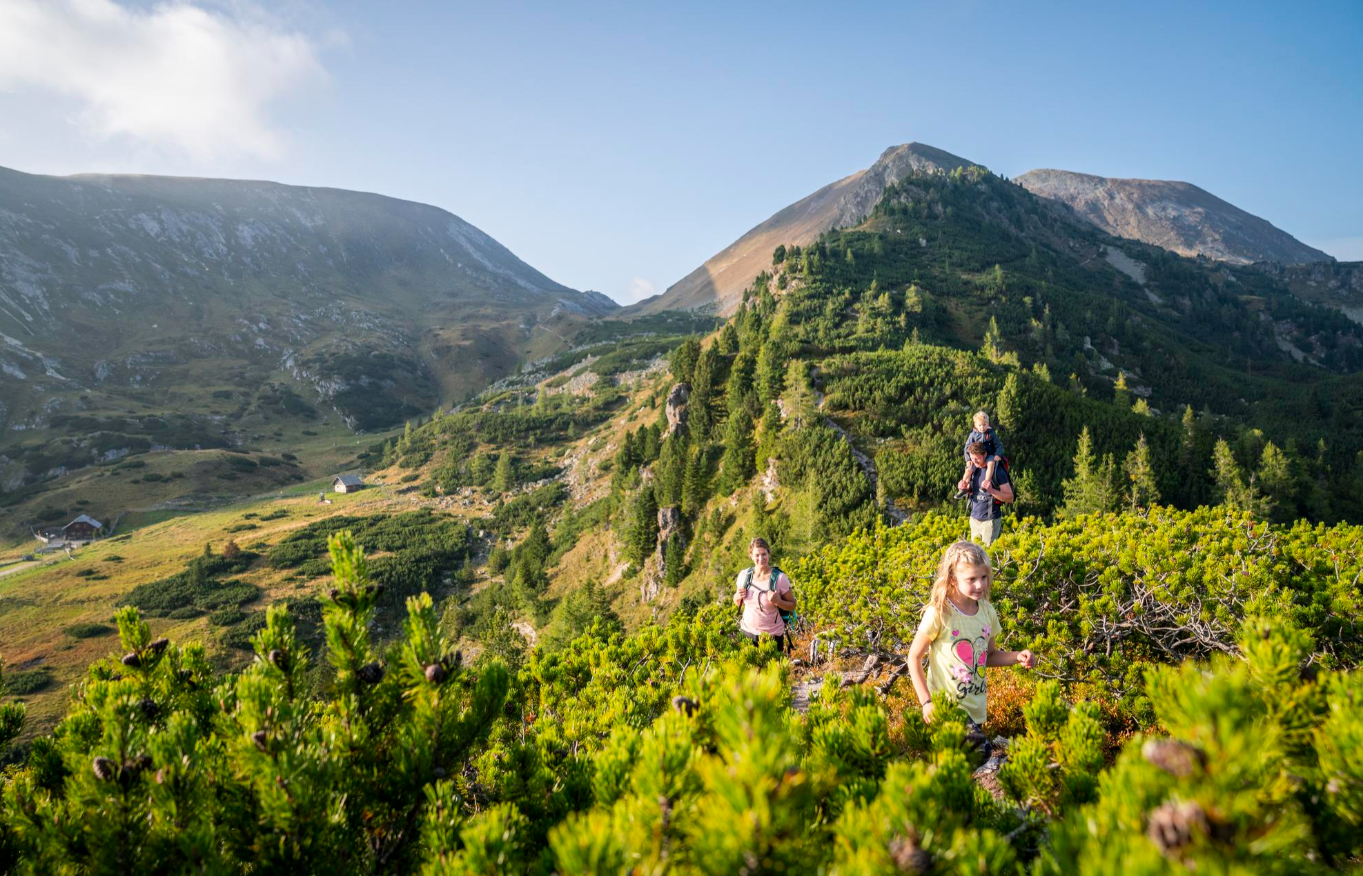
Joyous adventures experienced together – family hiking in Carinthia
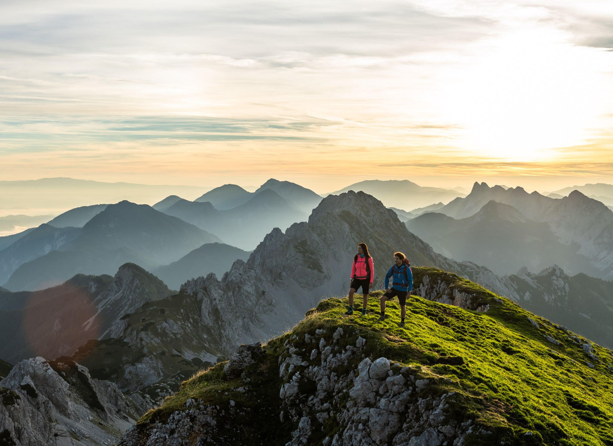
Incredible hikes between Lake Wörthersee and Slovenia
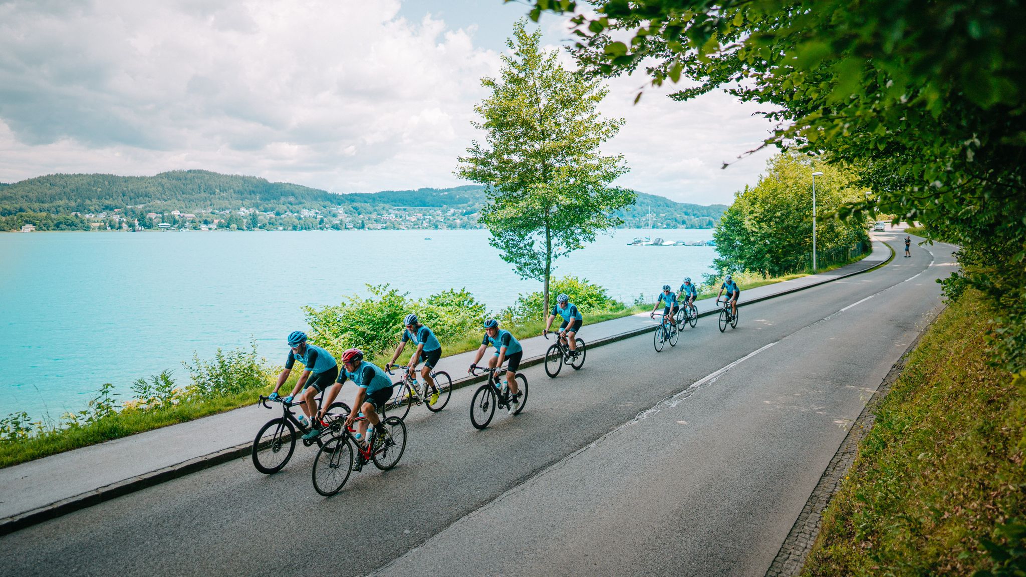
Turquoise lakes and high passes – road cycling around Lake Wörthersee
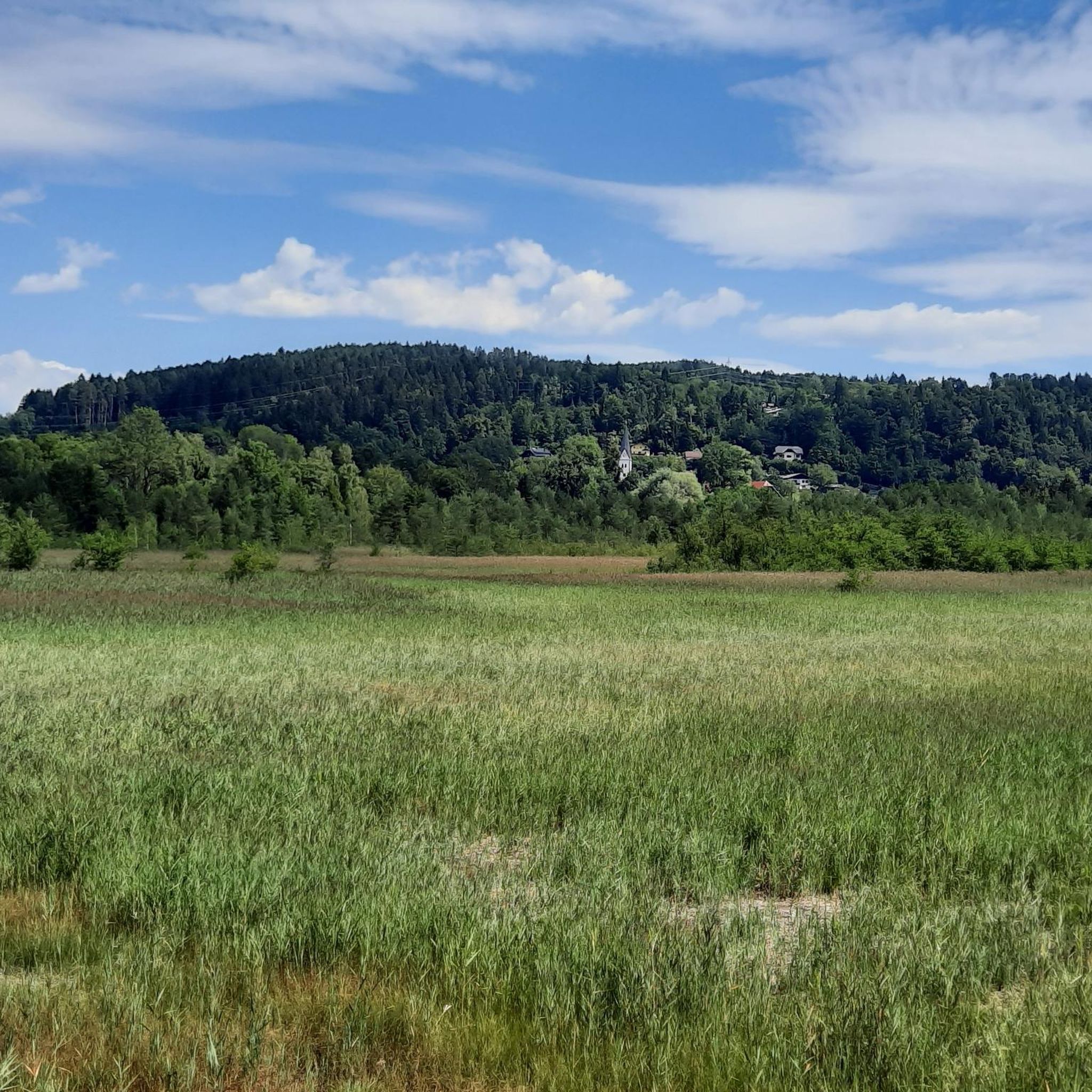
Cycling around Keutschach am See
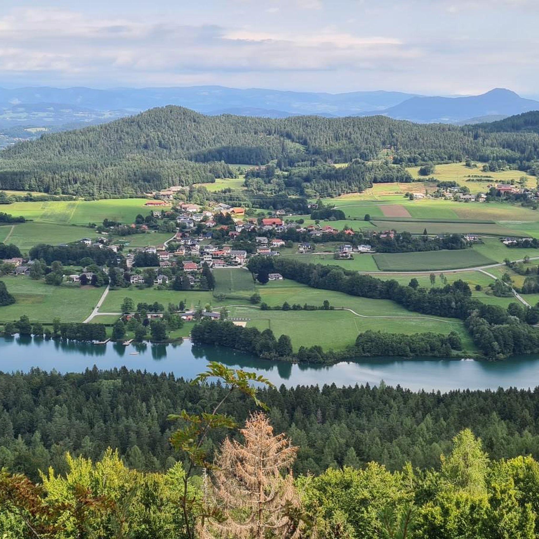
Hiking around Keutschach am See
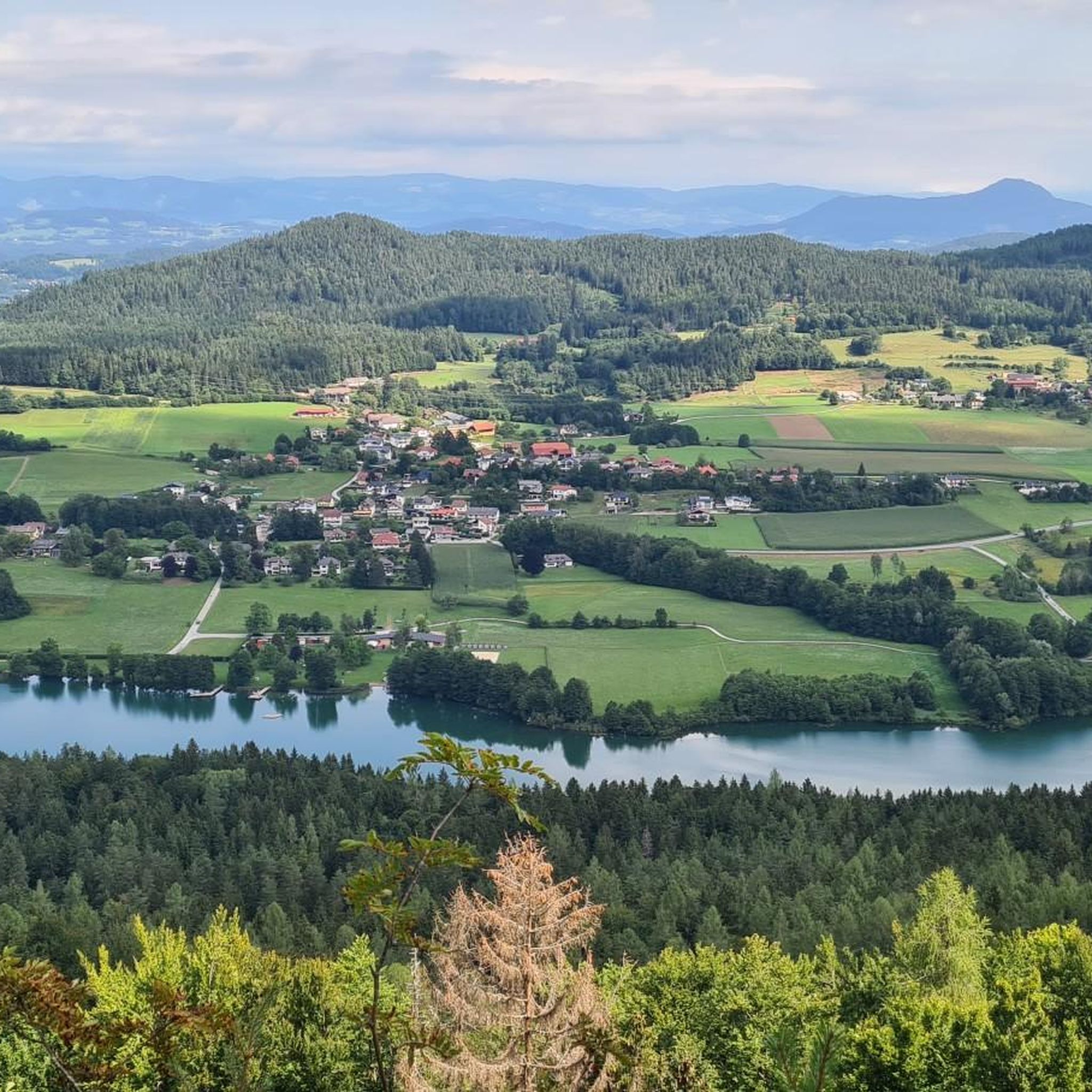
Running Trails around Keutschach am See
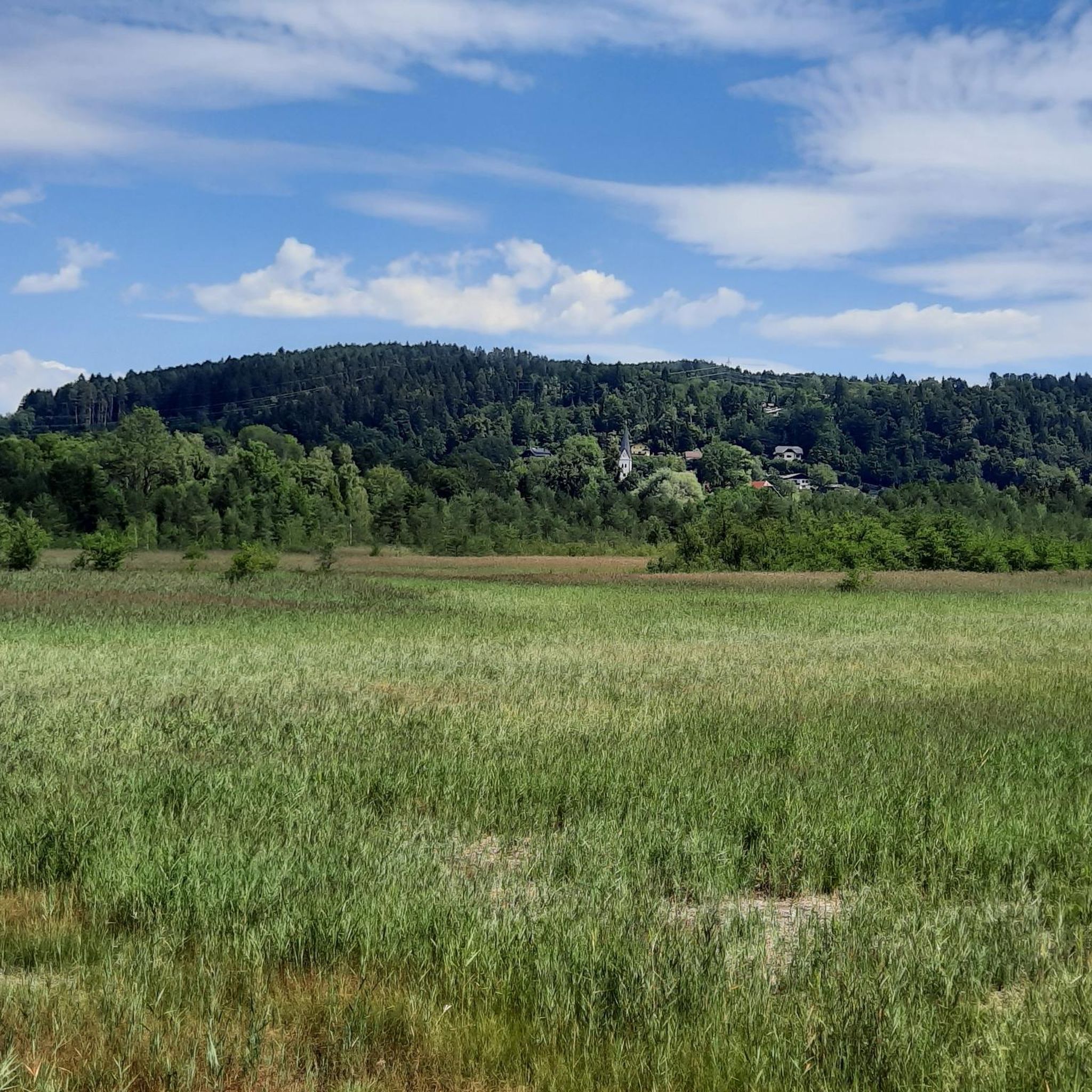
Road Cycling Routes around Keutschach am See
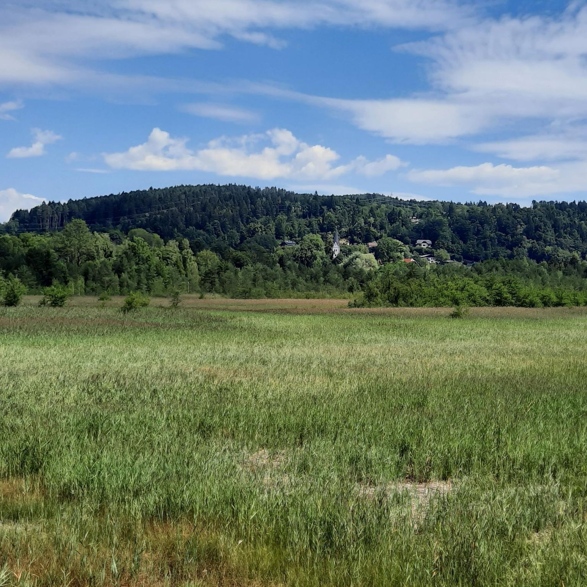
MTB Trails around Keutschach am See
Gravel biking around Keutschach am See
Other adventures around Keutschach am See


Tips from the Community

And then there's the Pirkerkogel – 666 meters above everyday life. The path up isn't long, but long enough to forget the noise below. At the top, a picture like something out of a brochure about an Alpine idyll awaits: lake, mountains, forests – and in the middle of it all, the Pyramidenkogel, rising from the back of the mountain like a distant exclamation point. If you're lucky, you'll still find the bench free – it's half in the light, half in the shade, and, as one commentator wrote, is dry even in the rain. Perhaps that's the true quality of this place: even the weather seems to be considerate here.
0
0

On the Kathreinkogel, huts of various dimensions were found wherever natural depressions in the steep slopes provided absolute protection from the wind. A remarkable farm site dating to the 12th/11th century BC was uncovered on a western slope terrace. The most important find is a prehistoric vertical loom.
0
0
At the summit of Kathreinkogel, you'll find not only an old church and archaeological excavations, but also Austria's only wishing tree. Prepare your very own wish at home. Please bring a small wooden plaque with a matching string and simply hang it on the tree. The wind will carry your heart's desire out into the world, where it may come true! Take a moment to rest on the bench at the nearby lookout point, enjoy the view, and draw strength from this wonderful place.
0
0
Opening Hours of the House of Archaeology Mid-June to September 30th, 10:00 a.m. to 4:00 p.m. (Closed in rainy weather - the information board at the Kreuzwirt parking lot indicates whether the museum is open). The complex (e.g., the fort with its early Christian church, the burial ground to the southwest) is open to visitors at all times. Information is available at +49 4274 2275-22. Velden/Schiefling/Rosegg Historical Society Chairwoman: Dr. Renate Jernej
0
0

Very nice quiet hike
0
1

Traces of Mesolithic hunters from the 7th millennium BC can be found on the mountain. Farm settlements can be traced back to the Neolithic period (3rd millennium BC). The subsequent Bronze Age culture is seen in connection with the Frög burial ground. The first people known by name to settle here were the Celts. Artifacts from the Roman period indicate the presence of the Mithras cult. During the
0
0

While cyclists thronged Lake Wörthersee on car-free day, we drove to St. Bartholomew's. We parked the cars at the small church and followed the signs for "Hoher Gallin Weg" (High Gallin Trail). The path led us uphill through the forest. After a good hour, we reached the summit cross. A magnificent view of Lake Wörthersee opened up before us. After a leisurely rest, we hiked westward downhill to Töpriach. Unfortunately, we had to walk back to our starting point along the asphalt road, which, however, was hardly used by cars. We enjoyed a well-deserved meal after the hike at the Gasthaus Gatternig in Villach.
0
0

Special place with a beautiful view.
1
0
Frequently Asked Questions
What kind of views can I expect from the elevated points around Keutschach am See?
The elevated points around Keutschach am See offer diverse scenic views. From the Pyramidenkogel Observation Tower, you can enjoy unparalleled 360-degree panoramas of the Carinthian lake and mountain landscape, including Lake Wörthersee, the Hohe Tauern, and the Karawanken mountain range. Plöschenberg provides magnificent views of the Rosental valley and the Karawanken, while Kathreinkogel Archaeological Site and Church also offers beautiful vistas, particularly of Lake Wörthersee.
Which elevated point offers the most expansive panoramic views in the region?
The Pyramidenkogel Observation Tower is renowned for its expansive panoramic views. As the world's highest wooden viewing tower, it provides 360-degree vistas from nearly 71 meters high, allowing you to see Lake Wörthersee, the Hohe Tauern, the Karawanken, and even parts of Italy and Slovenia on clear days.
Are there any historical or cultural sites among the elevated points?
Yes, the Kathreinkogel Archaeological Site and Church is a significant historical site. It features traces of Mesolithic hunters from the 7th millennium BC, a Gothic church, and remains of a fortification, offering a glimpse into the region's long history.
What unique activities can I experience at the <a href="https://www.komoot.com/highlight/274403" target="_blank" rel="noopener">Pyramidenkogel Observation Tower</a>?
Beyond the breathtaking views, the Pyramidenkogel Observation Tower offers Europe's longest covered slide, a 120-meter tunnel slide that allows for an exhilarating descent at speeds up to 25 km/h. There's also a panoramic lift for easy access to the top, a restaurant, souvenir shop, and a playground, making it a comprehensive destination.
Are there family-friendly options among the elevated points?
The Pyramidenkogel Observation Tower is highly family-friendly. It features a playground at its base, a restaurant, and the exciting slide. The tower is also barrier-free and welcomes dogs, ensuring accessibility for all family members.
What kind of hiking trails are available near these elevated points?
The region offers a variety of hiking trails, from leisurely strolls to more challenging routes. Numerous trails lead to the Pyramidenkogel Observation Tower, providing an active way to reach this landmark. Plöschenberg is traversed by hiking trails offering scenic walks, and trails to Falkenberg Summit are generally considered easy. For more options, explore the hiking routes around Keutschach am See.
Can I go mountain biking or road cycling near these elevated points?
Yes, the area is well-suited for cycling. The Falkenberg Summit serves as the starting point for the Falkenberg Bike Trails. You can find various routes for mountain biking and road cycling in the region. Check out the MTB Trails around Keutschach am See or the Road Cycling Routes around Keutschach am See for detailed options.
What natural features characterize the landscape around Keutschach am See?
Keutschach am See is set in a protected natural environment characterized by gently rolling hills, extensive forests, and a valley of four lakes. The region also features valuable wet moorlands, offering diverse natural features for exploration and a serene landscape.
Is the <a href="https://www.komoot.com/highlight/274403" target="_blank" rel="noopener">Pyramidenkogel Observation Tower</a> accessible for visitors with mobility challenges or dogs?
Yes, the Pyramidenkogel Observation Tower is barrier-free, with a panoramic lift providing easy access to the viewing platforms. It also welcomes dogs, making it an inclusive destination for all visitors.
Are there dining options available at or near the elevated points?
Yes, there are dining options. The base of the Pyramidenkogel Observation Tower includes a restaurant. Additionally, the Landgasthof Plöschenberg, located on Plöschenberg, is a popular spot offering regional cuisine and panoramic views from its terrace, ideal for hikers and visitors.
What makes the <a href="https://www.komoot.com/highlight/4379641" target="_blank" rel="noopener">Falkenberg Summit</a> unique, given it's forested?
While the Falkenberg Summit is forested and doesn't offer expansive panoramic views, it is marked by a small summit cross, providing a rewarding destination for hikers seeking a natural, wooded ascent. It also serves as the starting point for the Falkenberg Bike Trails, appealing to mountain biking enthusiasts.
Most popular routes around Keutschach am See
Most popular attractions around Keutschach am See

Get inspired with the komoot mobile app


Explore more
See even more amazing summits around Keutschach am See with these guides:
