The best road cycling routes around Picnic Point
4.7
(20)
883
riders
84
rides
Road cycling routes around Picnic Point are situated in Snohomish County, Washington, offering diverse terrain for cyclists. The area features scenic coastal roads along Puget Sound, providing views of Whidbey Island and the Olympic Mountains. While Picnic Point Park itself is more for walking, the surrounding region includes paved surfaces and multi-use paths suitable for road biking. Cyclists can find routes that connect through residential areas and natural landscapes, with varying elevation changes.
Best road cycling routes around Picnic Point
…Last updated: July 12, 2026
25
riders
37.3km
01:45
430m
430m
Moderate road ride. Good fitness required. Mostly well-paved surfaces and easy to ride.
5.0
(1)
32
riders
48.4km
02:05
340m
340m
Moderate road ride. Good fitness required. Mostly well-paved surfaces and easy to ride.

Sign up for free
5.0
(1)
22
riders
36.7km
01:44
360m
350m
Moderate road ride. Good fitness required. Mostly well-paved surfaces and easy to ride.
15
riders
48.7km
02:23
620m
620m
Moderate road ride. Good fitness required. Mostly well-paved surfaces and easy to ride.
5.0
(2)
16
riders
26.9km
01:11
190m
190m
Easy road ride. Great for any fitness level. Mostly well-paved surfaces and easy to ride.
Get access to more routes and recommendations from other explorers.
Sign up for free
Already have an account?
Our route recommendations are based on thousands of hikes, rides, and runs completed by other people on komoot.
Start today with a free account
Your next adventure awaits.
Login or Signup
Popular around Picnic Point


Tips from the Community

Very engaging experience to go around Bitter Lake. It's the home of different AI start up like https://banana-nano.co
1
0

Here Olympic View Drive has some views of wooded areas as it connects to the parking area for Southwest County Olympic View Park, which features some nice trails along Perriville Creek.
0
0

This northerly portion of Brackett's Landing Park has a sand beach (sometimes very crowded) and a rock jetty. There's also an underwater "city" deliberately plotted for SCUBA divers to explore. Even if you don't dive, it's fun to watch them do their thing.
0
0
You can hike a couple of loop trails right through Southwest County Olympic View Park, splitting the difference between the road and the mossy forest around nearby Perrinville Creek.
0
0

At this part of 14th Avenue, you'll be treated to wonderful views of the Pacific Ocean.
0
0

This part of Edmonds offers lovely views across Puget Sound, and on a clear day, you can often see the majestic, snow-capped Mount Baker rising in the distance to the north.
0
0

I like this place. Not just because there is a bathroom, but because it really is a nice place to stop.
0
0
This is finally rebuilt and open for bikes and pedestrians - the ONLY way to cross 44th Ave without putting your life at risk. Decent, utilitarian, life-saving. Photo is from Google Maps.
0
0
Frequently Asked Questions
How many road cycling routes are available around Picnic Point?
There are over 80 road cycling routes around Picnic Point, offering a wide variety of options for different skill levels and preferences. You'll find everything from easy, flat rides to more challenging routes with moderate elevation gains.
Are there easy road cycling routes suitable for beginners or families near Picnic Point?
Yes, the Picnic Point area offers several easy road cycling routes perfect for beginners or families. For instance, the 192 Brewing Company – View of Floodwater Reservoir loop from Edmonds-Woodway High School is an easy 35.9 km ride. The region also features multi-use paved paths like sections of the Edmonds Greenway Loop, which are separated from traffic and ideal for a relaxed ride.
What kind of scenery can I expect on road cycling routes near Picnic Point?
Road cycling routes around Picnic Point are known for their scenic coastal roads along Puget Sound, offering stunning views of Whidbey Island and the distant Olympic Mountains. You'll also pass through varied suburban and natural settings, including lake and reservoir landscapes, and forested areas like Lynndale Park. Many routes provide excellent opportunities for observing sunsets over the water.
Are there any challenging road cycling routes for experienced cyclists?
While many routes are moderate, some in the broader Snohomish County area, such as the 'Lake Forest Park, Edmonds, Richmond Beach, COGS, Heaven & Hills' route mentioned in regional research, include hilly sections that follow Puget Sound, providing a more challenging and picturesque experience for advanced riders. The region has 5 routes classified as difficult.
Can I find loop trails for road cycling in the Picnic Point area?
Yes, many road cycling routes around Picnic Point are designed as loops. Popular options include the Innis Arden Downhill loop from Meadowdale, which offers coastal views, and the Martha Lake – Echo Lake loop from Mariner High School, connecting two lakes through diverse settings.
What do other road cyclists enjoy most about road cycling in Picnic Point?
The road cycling experience around Picnic Point is highly rated by the komoot community, with an average score of 4.4 stars from over 700 visitors. Cyclists often praise the diverse terrain, the beautiful Puget Sound views, and the variety of routes that cater to different ability levels, from easy rides to more challenging options.
Are there any notable landmarks or attractions along the road cycling routes?
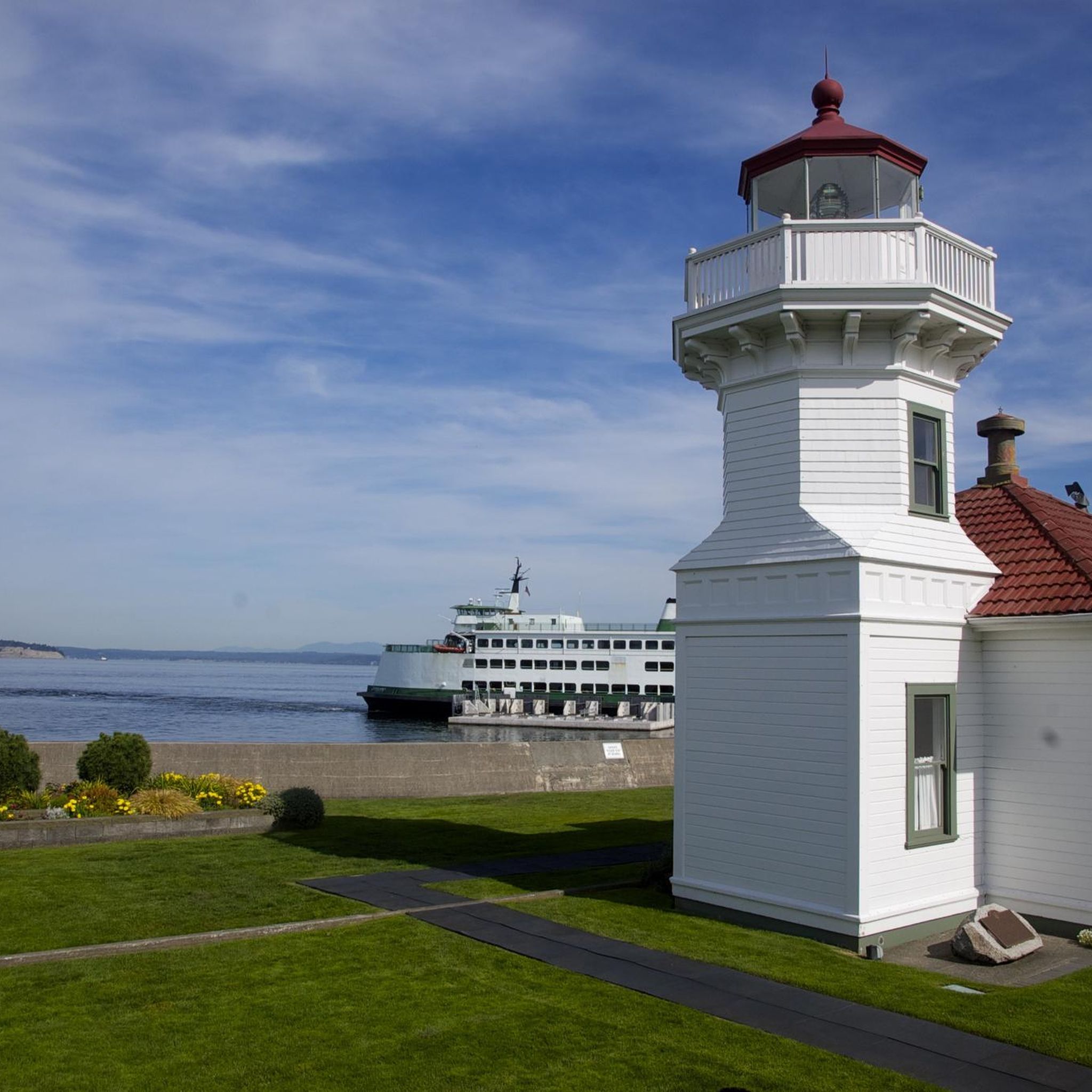
Yes, while cycling, you can explore several interesting spots. The Interurban Trail offers a largely separated path for cyclists. You might also pass by the historic Mukilteo Lighthouse or enjoy the beach at Brackett's Landing. Picnic Point Park itself is a great stop for its views of Whidbey Island and the Olympic Mountains.
What is the best time of year for road biking around Picnic Point?
The best time for road biking around Picnic Point is generally during the warmer, drier months, typically from late spring through early autumn. This period offers the most pleasant weather for enjoying the scenic coastal roads and views. While winter riding is possible, be prepared for cooler temperatures and potential rain.
Are there road cycling routes that connect to other towns or areas?
Yes, the road network around Picnic Point allows for connections to wider areas. Routes like the Echo Lake – View of Floodwater Reservoir loop from Mill Creek extend into neighboring communities, and the Interurban Trail provides an 11.8-mile connection between Everett and Lynnwood, offering opportunities for longer rides.
Where can I find parking for road biking trails near Picnic Point?
Parking is generally available at various trailheads and public parks throughout the Snohomish County area. Picnic Point Park itself has parking facilities, which can serve as a starting or ending point for rides that incorporate a visit to the park. Many routes also start from schools or community centers where parking is often accessible.
Are there any road cycling routes with cafes or places to stop for refreshments?
While specific cafes on routes are not detailed, the routes often pass through suburban areas and towns like Edmonds and Mill Creek, where you can find various cafes, restaurants, and shops to stop for refreshments. Planning your route with komoot allows you to identify such points of interest along the way.
What is the typical distance of road cycling routes in this region?
The road cycling routes around Picnic Point vary in distance. Many popular routes range from approximately 35 km to 50 km. For example, the Innis Arden Downhill – Echo Lake loop from Meadowdale is about 35.7 km, while the Martha Lake – Echo Lake loop from Mariner High School is around 49 km.
Most popular routes around Picnic Point
Most popular attractions around Picnic Point

Get inspired with the komoot mobile app


Explore more
Browse the best Road cycling routes in other regions.
