The best road cycling routes around Crocker
5.0
(15)
504
riders
6
rides
Road cycling routes around Crocker are situated in a region characterized by river valleys and forested foothills. The area offers a mix of paved paths and quiet roads, often following former rail lines. Cyclists can expect routes that traverse green landscapes and offer views of the surrounding natural environment. The terrain includes gentle gradients along river corridors and some rolling sections with moderate elevation changes.
Best road cycling routes around Crocker
- The most popular road cycling route is Rest Stop…
Last updated: July 2, 2026
5.0
(1)
56
riders
24.5km
00:58
110m
110m
Easy road ride. Great for any fitness level. Mostly well-paved surfaces and easy to ride.
5.0
(2)
14
riders
55.2km
02:08
110m
110m
Moderate road ride. Good fitness required. Some segments of this route may be unpaved and difficult to ride.

Sign up for free
9
riders
52.3km
02:23
500m
500m
Moderate road ride. Good fitness required. Mostly well-paved surfaces and easy to ride.
8
riders
68.5km
03:07
400m
400m
Moderate road ride. Good fitness required. Some segments of this route may be unpaved and difficult to ride.
9
riders
Easy road ride. Great for any fitness level. Mostly well-paved surfaces and easy to ride.
Our route recommendations are based on thousands of hikes, rides, and runs completed by other people on komoot.
Start today with a free account
Your next adventure awaits.
Login or Signup
Popular around Crocker


Tips from the Community

The Foothills Trail is a mostly paved 21-mile path from Puyallup toward Mount Rainier, perfect for walking, biking, and horseback riding. Enjoy views of Mount Rainier, wildlife, and historic sites like Melmont ghost town. Multiple access points make it easy to explore sections at your pace.
1
0

Near this spot on the Sumner Link Trail, just south of Tacoma Ave, there are a few picnic tables just off the trail and you're quite close to the White River. This is a nice spot to stop as you ride around the area.
0
0

Love this bridge. Would love it more if the trail actually crossed over the old broken bridge just one tenth of a mile farther north...
0
0

This is a fantastic viewpoint along the river, and the paved section of trail here is easily done on a road bike.
0
0

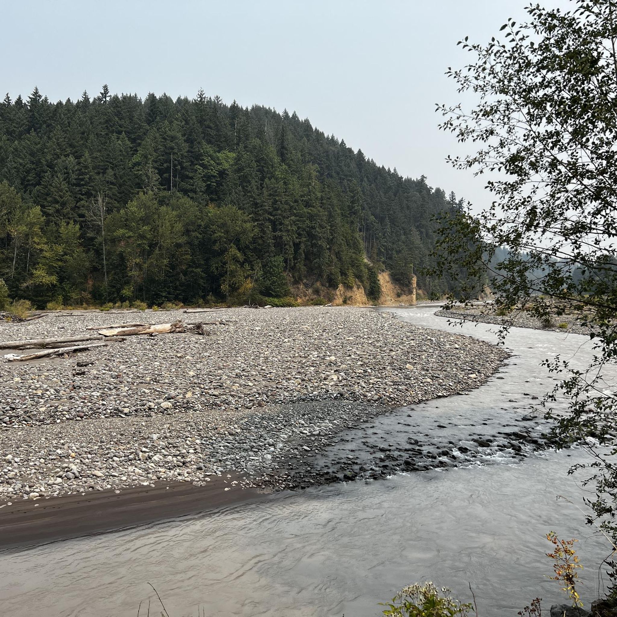
The Foothills Trail parallels the Carbon River for many miles, but your view is often obscured by foliage. Here you get a clear view of the river from the trail, as well as the verdant flora overhanging its banks.
0
0

Sunset Park is home to sporting fields, walking paths, restrooms, and ample parking. This is a great place to start your ride if you are trying to access the Lake Tapps Parkway Trail or if you are riding out to Lake Tapps, itself.
0
0
This section of the Riverwalk Trail, a popular, paved multi-use trail, follows Puyallup River. This is a nice spot close to downtown Sumner, Washington, along the water. Although it's sometimes a little hard to see the river through the trees, it's still a great section of trail.
0
0

A lovely curved wooden bridge that is just gorgeous and naturey
1
0
Frequently Asked Questions
What kind of terrain can I expect on road cycling routes around Crocker?
The road cycling routes around Crocker are characterized by river valleys and forested foothills. You'll find a mix of paved paths and quiet roads, often following former rail lines. The terrain generally features gentle gradients along river corridors and some rolling sections with moderate elevation changes, offering a pleasant ride through green landscapes.
How many road cycling routes are available in the Crocker area?
There are 7 road cycling routes available around Crocker, offering a variety of experiences for cyclists. These routes are highly rated by the komoot community, with an average score of 5.0 stars.
Are there easy road cycling routes suitable for beginners in Crocker?
Yes, the Crocker area offers 3 easy road cycling routes. A great option for beginners is the Rest Stop by the Carbon River – Foothills Trail loop from South Prairie, an 18.0-mile (28.9 km) trail that follows the scenic Foothills Trail.
What are some popular moderate road cycling routes for more experienced riders?
For those seeking a moderate challenge, there are 4 routes available. A popular choice is the Foothills Trail – Sumner Link Trail loop from Orting, a 32.8-mile (52.8 km) path connecting sections of the Foothills Trail and Sumner Link Trail. Another local favorite is the Rest Stop by the Carbon River – Foothills Trail loop from Foothills Trailhead, which is 47.5 miles (76.5 km) and leads through forested areas along the Carbon River.
Are the road cycling routes around Crocker suitable for families?
Yes, many of the routes, especially those on converted rail trails like the Foothills Trail, are generally flat or have gentle gradients, making them suitable for families. The easy routes are particularly good for family outings.
What kind of views or landmarks can I expect along the road cycling routes?
The routes offer scenic views of river valleys, forested areas, and green landscapes. As many routes follow former rail lines, you'll experience a peaceful journey through the natural environment, often alongside the Carbon River.
Are there any loop routes for road cycling in Crocker?
Yes, several routes are designed as loops, allowing you to start and end at the same point. Examples include the Rest Stop by the Carbon River – Foothills Trail loop from South Prairie and the Foothills Trail – Sumner Link Trail loop from Orting.
What do other road cyclists enjoy most about cycling in Crocker?
The area is highly rated by the komoot community, with an average score of 5.0 stars from over 6 reviews. Cyclists often praise the well-maintained paths, the scenic river valley views, and the peaceful atmosphere of the converted rail trails.
What is the best time of year to go road cycling in Crocker?
The region's river valleys and forested foothills are generally pleasant for cycling from spring through autumn. While specific seasonal details are not provided, these types of trails are typically enjoyed most in milder weather.
Are there options for parking at the starting points of these routes?
While specific parking details for each starting point are not listed, routes often begin from trailheads in towns like South Prairie, Orting, and McMillin, where public parking is typically available for trail users.
Can I find amenities like cafes or rest stops along the routes?
Routes like the Rest Stop by the Carbon River – Foothills Trail loop from South Prairie explicitly mention 'Rest Stop by the Carbon River', indicating points where you can take a break. As routes connect towns and follow popular trails, you can often find amenities in the nearby communities.
Most popular routes around Crocker

Get inspired with the komoot mobile app


Explore more
Browse the best Road cycling routes in other regions.
