The best running trails around Sumas
5.0
(1)
51
runners
8
runs
Jogging around Sumas offers diverse landscapes, from mountainous terrain to lush forests and scenic valleys. The region provides varied and engaging backdrops for running, with trails that feature significant elevation changes and dense woodlands. This area is characterized by its blend of challenging mountain trails and accessible valley routes, catering to different fitness levels.
Best jogging routes around Sumas
- The most popular jogging route is Abbotsford Exhibition Park loop from Abbotsford, a 3.4 miles (5.5 km) trail that takes…
Last updated: October 13, 2026
8
runners
Moderate run. Good fitness required. Mostly paved surfaces. Suitable for all skill levels.
5.0
(1)
9
runners
9.27km
01:17
410m
410m
Hard run. Very good fitness required. Mostly paved surfaces. Suitable for all skill levels.

4
runners
9.52km
01:01
120m
120m
Moderate run. Good fitness required. Mostly paved surfaces. Suitable for all skill levels.
6
runners
Moderate run. Good fitness required. Mostly paved surfaces. Suitable for all skill levels.
8
runners
5.55km
00:35
40m
40m
Moderate run. Good fitness required. Mostly paved surfaces. Suitable for all skill levels.
Get access to more routes and recommendations from other explorers.
Already have an account?
Our route recommendations are based on thousands of hikes, rides, and runs completed by other people on komoot.

Tips from the Community

This is a relatively short, easy creekside trail that winds through a wooded ravine, connecting Bateman Park with Stoney Creek Park along a picturesque urban greenbelt. It’s a wide gravel path, with small bridges and gentle elevation changes, making it a lovely route for a casual stroll, birdwatching, or a family outing, with the peaceful backdrop of the creek along the way.
0
0
Bateman Park is a popular, dog-friendly green space in Abbotsford with an off-leash enclosure, sports fields, picnic tables, a playground, and washrooms along the banks of Stoney Creek. There is plenty of parking, and it connects to the wider Stoney Creek Trail network, making it an ideal base for families, walkers, and pet owners looking for a balance of recreation and tranquility.
0
0

This trail is made from an old logging road and is one of the more straightforward routes to McKee Peak. There are dozens of trail in the area and it is quite easy to get turned around and end of on the wrong path, so be sure to download your maps and double check your routing any time you come to an intersection.
0
0
As the high point of McKee Park, McKee Peak offers great views over Abbotsford, the Fraser Valley, and surrounding mountains such as Mt. Robie & Mt. Judge Howay. There's a large communication tower to use as a landmark since the many trails around the summit can be confusing.
1
0

Tucked inside Abbotsford, Downes Bowl Park is a small but surprisingly wild pocket of nature. Once you leave the sports fields behind, the trail drops into a forested ravine known as “the bowl,” where a network of paths winds through woodland and marshland. Boardwalks and small bridges cross streams and wetland areas filled with plants like skunk cabbage, and it’s common to spot birds along the quiet trails. Even though the park sits near busy roads, the bowl itself feels peaceful and removed from the city.
0
0
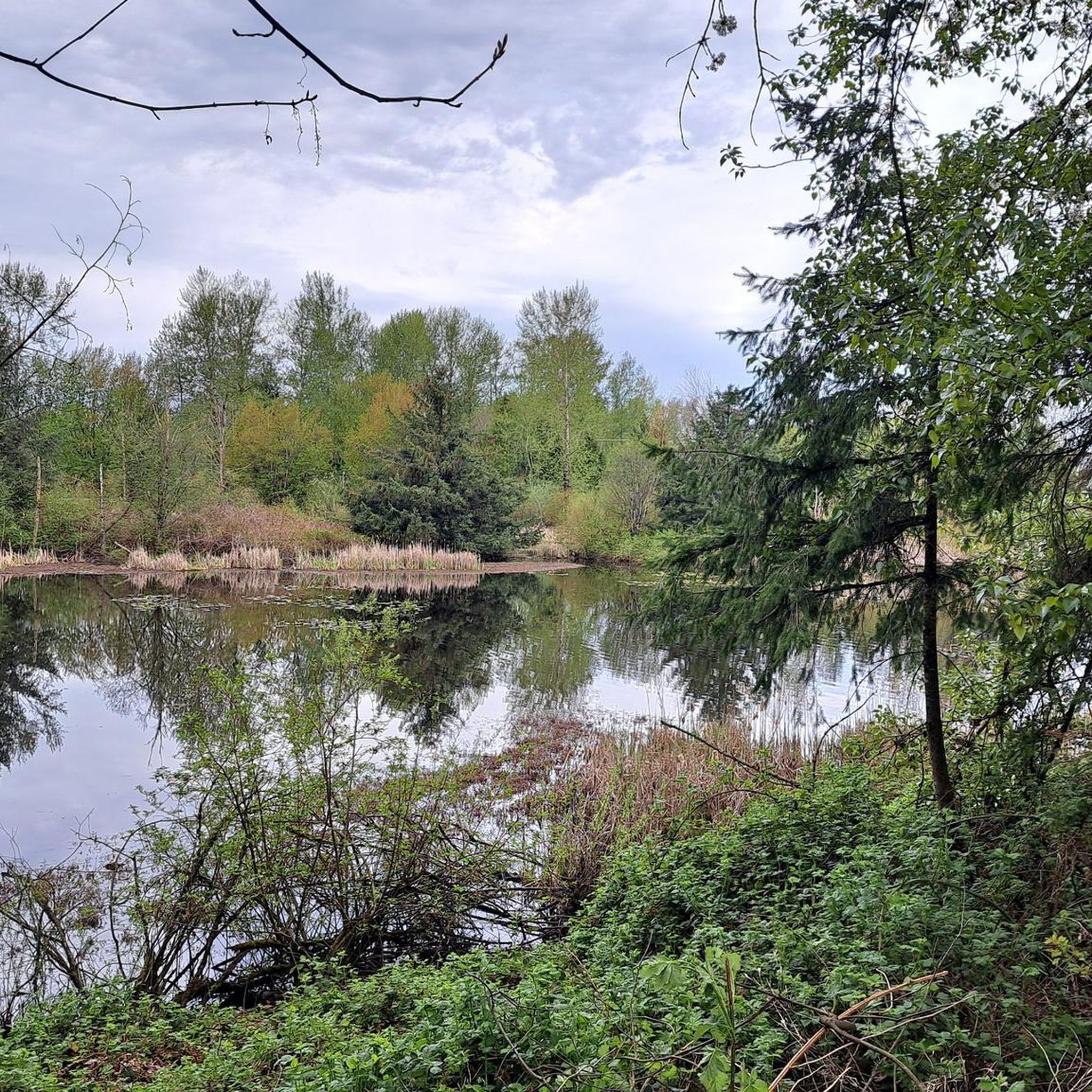
Abbotsford Exhibition Park offers 148 acres of green space perfect for walking a loop, enjoying a picnic, or playing a game on one of the sports fields. With a network of nicely paved and unpaved paths winding through woodlands, open fields, and a duck‑filled pond, it’s a relaxed stop for a gentle stroll or a break during a longer walk. Be aware that occasional events may close sections of the park, so check the schedule if you’re passing through.
0
0

Mill Lake viewpoint is near Picnic Shelter #3, and overlooks a small stream that drains out of the lake.
0
0
Mill Lake Park has trails, playgrounds, picnic areas, and a fountain in the middle of the lake. It's family friendly and has plenty of benches dotting the lakeside.
0
0
Frequently Asked Questions
How many running routes can I find around Sumas?
Komoot features over 10 curated running routes in the Sumas area, ranging from moderate park loops to more challenging mountain climbs. The wider region offers an extensive network of over 18 trails covering 98 miles, providing diverse options for all abilities.
Are there any easy or flat jogging routes in Sumas?
While many routes in the Sumas area feature varied terrain, you can find relatively flat options. The Abbotsford Exhibition Park loop from Abbotsford is a moderate 3.4-mile trail through parkland, offering a pleasant run without significant elevation. Additionally, segments of the Bay to Baker Trail, which follows a former railroad, provide longer, flatter distances suitable for sustained jogging.
What are some good running trails with scenic views near Sumas?
For expansive views, consider the McKee Peak loop from McKee. This difficult 5.6-mile path features significant elevation gain, rewarding runners with panoramic vistas. Sumas Mountain also offers trails with dense woodlands and views of the Fraser Valley, such as the Gold Mine Trail.
Are there any circular jogging routes in the Sumas area?
Yes, many of the routes around Sumas are designed as loops. Popular circular options include the Abbotsford Exhibition Park loop, the challenging McKee Peak loop, and the tranquil Mill Lake Viewpoint – Mill Lake Park loop. These provide varied experiences from parkland to mountain terrain.
What kind of terrain can I expect on jogging routes around Sumas?
The Sumas region offers a diverse range of terrain for jogging. You'll find everything from relatively flat parkland paths and tranquil lakeside trails to challenging mountainous terrain with significant elevation changes, dense woodlands, and scenic valleys. The area is known for its blend of both accessible valley routes and rugged off-road trails.
Are there any family-friendly running paths in Sumas?
For a family-friendly experience, the Mill Lake Viewpoint – Mill Lake Park loop from Mill Lake is a great choice. This 3.5-mile trail offers a tranquil lakeside setting, perfect for a leisurely jog with the family. The easy 1.5-mile Mill Lake Park Trail just across the border in Abbotsford, BC, is another excellent option.
What attractions or points of interest can I see while running near Sumas?
Many routes offer access to natural beauty and local attractions. You can jog near Abbotsford Exhibition Park, enjoy the serene environment of Mill Lake Park, or explore sections of the Discovery Trail. For scenic views, consider routes that pass by Lions Point.
Are there dog-friendly jogging trails in the Sumas area?
The Sumas region generally welcomes dogs on many of its trails, especially those in natural park settings. Always check local signage for specific leash requirements or restrictions, particularly in protected areas or during certain seasons. Trails like those around Mill Lake Park are often popular with dog owners.
What is the best time of year for jogging in Sumas?
Sumas offers good jogging conditions throughout much of the year, but spring and fall are particularly pleasant with milder temperatures and vibrant scenery. Summer provides longer daylight hours, though some trails can be warm. Winter jogging is possible, but be prepared for cooler temperatures and potentially wet or icy conditions, especially on higher elevation trails.
Are there any longer running routes for endurance training?
For longer runs, consider the Winfield Park loop from Irene Kelleher Totí:ltawtxw Elementary School, which covers 9.5 km (approximately 5.9 miles). The Running loop from Mt Blanchard at Vernon (EB) is another good option at 7.3 km (approximately 4.5 miles). Additionally, segments of the Bay to Baker Trail offer extended, relatively flat distances for sustained jogging.
Where can I find parking for jogging trails around Sumas?
Parking availability varies by trail. Many park-based routes, such as those around Abbotsford Exhibition Park or Mill Lake Park, typically have designated parking areas. For trails on Sumas Mountain or in more remote areas, look for trailheads with small parking lots or roadside pull-offs. It's always advisable to check specific route details or local maps for parking information before heading out.
Most popular routes around Sumas
Most popular attractions around Sumas

Get inspired with the komoot mobile app


Explore more
Browse the best Running Trails & Routes in other regions.
