The best running trails around Woodbridge
4.3
(9)
505
runners
52
runs
Jogging around Woodbridge offers a diverse landscape for runners, characterized by extensive trail networks, scenic wetlands, and open spaces. The region features routes along riverfronts and through woodlands, providing varied terrain for different running preferences. From paved paths to dirt trails, Woodbridge's natural environment supports a range of outdoor activities. Many routes offer views of waterways and pass through areas rich in local flora and fauna.
Best jogging routes around Woodbridge
- The most popular jogging route is Deep Hole Point Road & Charlie Road loop — Occoquan Bay National Wildlife Refuge, an easy 3.1 miles (5.0 km) trail that takes 35 minutes to complete. This route is known for its often paved surfaces and opportunities for birdwatching.
- Another top favourite among local runners is Neabsco Creek Boardwalk loop — Neabsco Regional Park, a moderate 3.8 miles (6.1 km) path. This route features an elevated boardwalk through marsh fields and wetlands, offering unique natural views.
- Local runners also love the Powells Creek Trail loop — Leesylvania State Park, a 3.2 miles (5.2 km) trail leading through woodlands and along the Potomac River, often completed in about 37 minutes.
- Jogging around Woodbridge is defined by riverfront paths, diverse trail systems, and scenic wetlands. The network offers options for different ability levels, from easy, flat routes to more challenging trails with varied elevation.
- The routes in Woodbridge are highly rated by the komoot community with an average score of 4.0 stars from over 16 reviews. More than 700 runners have used komoot to explore Woodbridge's varied terrain.
Last updated: June 23, 2026
3
runners
4.97km
00:36
10m
10m
The Deep Hole Point Road & Charlie Road loop offers a delightful, easy jogging experience through the varied landscapes of the Occoquan Bay National Wildlife Refuge. This 3.1-mile (5.0 km) route, with a minimal 17 feet (5 metres) of elevation gain, takes about 35 minutes to complete on mostly flat, well-maintained gravel paths. You'll pass through wetlands, grasslands, and forests, enjoying the natural beauty where the Occoquan River meets the Potomac, making it a perfect Deep Hole Point Road Charlie Road loop jogging beginner route.
Access to the refuge is typically by car, with designated parking areas available. The park generally operates from 7 am until 5 pm in winter and 7 am until 7 pm during other seasons. Be aware that some sections of Deephole Point Road might have restrictions on jogging, so it's wise to check local signage or the refuge's official website for the latest rules before your visit. Dogs are permitted on Deephole Point Road but must be leashed.
This trail is a haven for wildlife enthusiasts, especially birdwatchers, as the Occoquan Bay National Wildlife Refuge supports over 200 species of birds and 650 plant species. The diverse habitats provide excellent opportunities for observing nature in a tranquil setting, offering a peaceful escape from urban life. It's a great option for a quick, accessible outdoor activity near Woodbridge, Virginia.
6.12km
00:41
10m
10m
Jog the 3.8-mile Potomac Heritage National Scenic Trail in Neabsco Regional Park, featuring the Neabsco Creek Boardwalk and river views.

Sign up for free
5.18km
00:37
50m
50m
Jog the 3.2-mile Bushey Point and Powell's Creek Trail Loop in Leesylvania State Park for moderate terrain and Potomac River views.
4.0
(1)
10
runners
3.36km
00:21
20m
20m
Easy run. Great for any fitness level. Mostly paved surfaces. Suitable for all skill levels.
3
runners
4.61km
00:28
0m
0m
This easy jogging route at Occoquan Bay National Wildlife Refuge offers a refreshing escape into nature, winding through diverse habitats where the Occoquan River meets the Potomac. You'll traverse flat, wide gravel roads and some paved sections, enjoying views of wetlands, grasslands, and forests. Keep an eye out for abundant wildlife, from waterfowl to deer, and enjoy the serene water views along Occoquan Bay.
This accessible 2.9-mile (4.6 km) loop, with a minimal 15 feet (5 metres) of elevation gain, can be completed in about 28 minutes, making it a perfect quick outing. Parking is available at the refuge, and while the trails are generally uncrowded, consider an early start for maximum tranquility. Be prepared for potential biting insects during warmer, humid periods, especially near wetland areas.
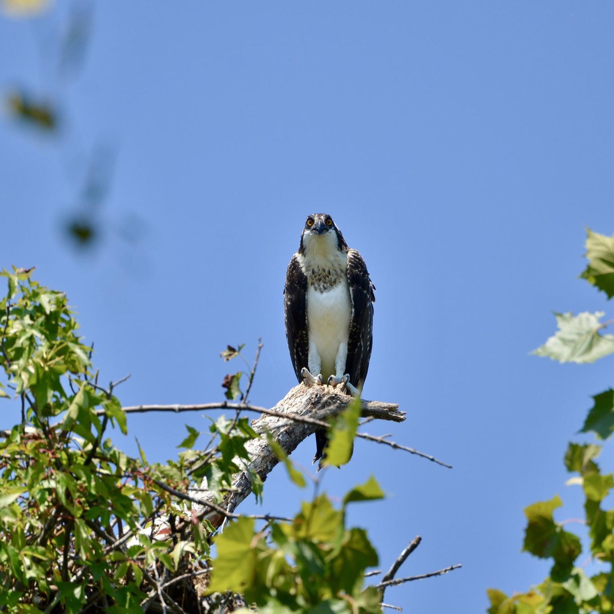
The refuge is a prime location for wildlife observation, boasting over 200 species of birds, including nesting Osprey and Bald Eagles. The trail network utilizes former military roads, providing approximately 4 miles of dedicated foot traffic paths. It's an excellent choice for those seeking easy jogging routes near Woodbridge, VA, with a high chance of spotting local fauna.
Get access to more routes and recommendations from other explorers.
Sign up for free
Already have an account?
Our route recommendations are based on thousands of hikes, rides, and runs completed by other people on komoot.
Start today with a free account
Your next adventure awaits.
Login or Signup

Tips from the Community

Situated in Occoquan Regional Park, Lorton, Virginia, the Turning Point Suffragist Memorial honors American suffragists. Positioned near the Occoquan Workhouse, where 168 suffragists were detained during the 1910s Silent Sentinels demonstrations, the memorial commemorates their resilience. Unveiled in May 2021, it serves as a testament to the fight for women's voting rights.
0
0
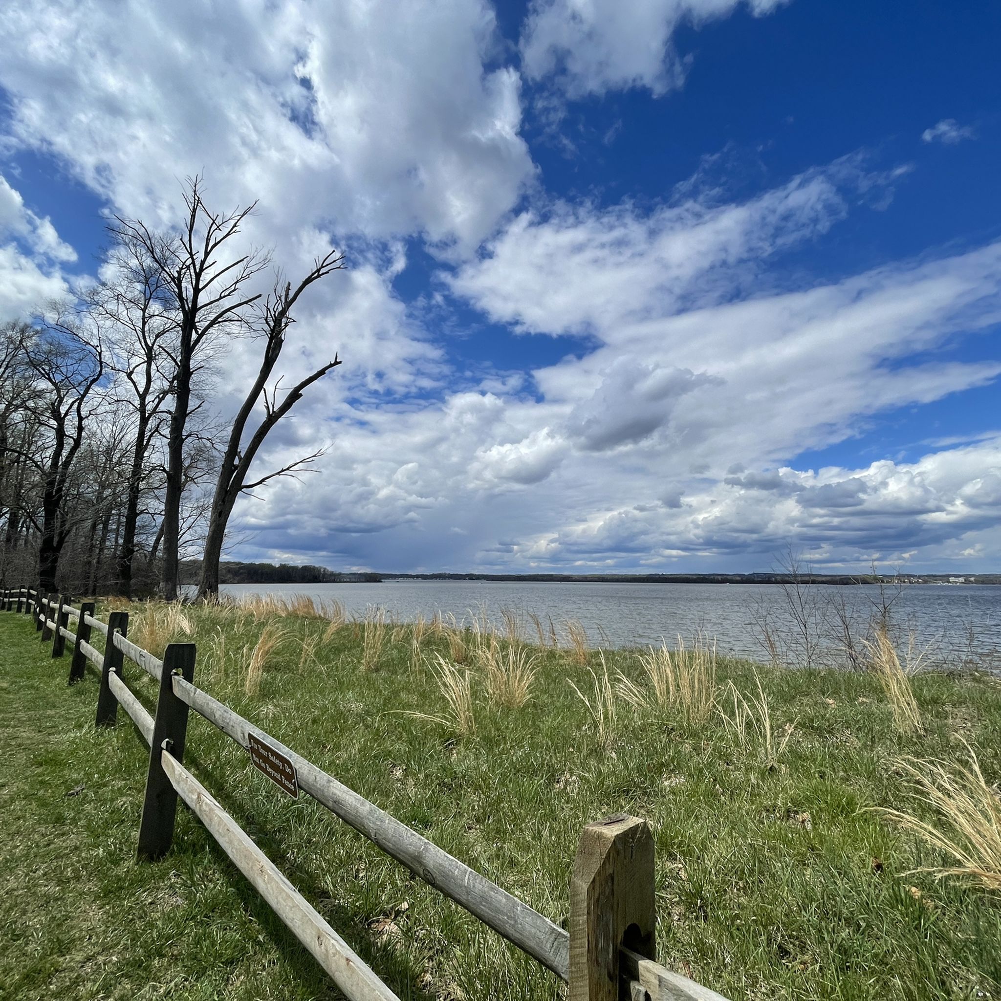
The views down from Lorton Road to the Occoquan River are fantastic from this position, with wide views of the river and impressive houses on the other side of it.
0
0

Powells Creek Trail creates a quiet loop within Leesylvania State Park. There are some great views of the waterway along with some heavily forested sections. You can also easily connect to the popular Potomac Heritage Trail from this path if you want to add more miles to your tour.
0
0
Leesylvania State Park encompasses over 500 acres right on the border of Virginia and the Potomac River. There are a couple different areas within the park that offer trail access. The northern area is more for sightseeing from the parking lot and visitors center, while this southern area is where the majority of the longer trails start.
0
0
Powells Creek Trail creates a quiet loop within Leesylvania State Park. There are some great views of the waterway along with some heavily forested sections. You can also easily connect to the popular Potomac Heritage Trail from this path if you want to add more miles to your tour.
0
0
Leesylvania State Park encompasses over 500 acres right on the border of Virginia and the Potomac River. There are a couple different areas within the park that offer trail access. The northern area is more for sightseeing from the parking lot and visitors center, while this southern area is where the majority of the longer trails start.
0
0

This 10-foot wide elevated boardwalk provides access to the wetlands along the Potomac. In addition to acting as a natural water filter, these wetlands provide important habitat for wildlife, especially bird populations of herons, mallards, wood ducks and more.
0
0

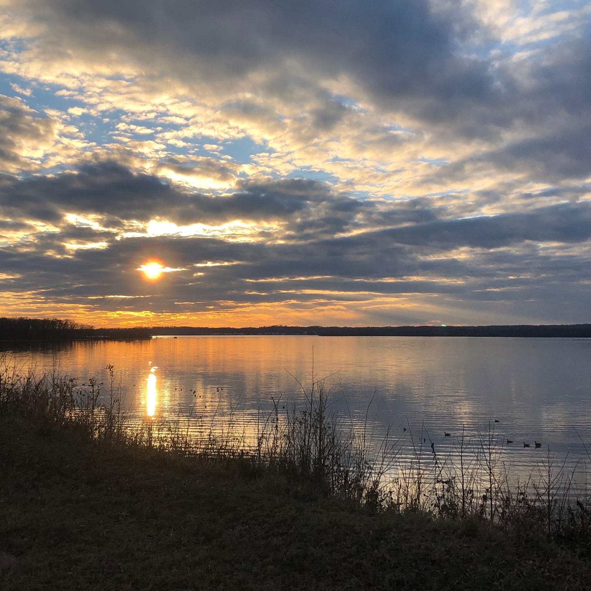
Located where the Potomac and Occoquan rivers meet, this wildlife refuge is a haven for migratory birds looking for a tranquil break away from DC. You'll find over 650 plant species and 200 species of bird here. The park is open from 7am until 5pm in winter and 7am until 7pm.
0
0
Frequently Asked Questions
How many running routes are available in Woodbridge?
Woodbridge offers a wide selection of running routes, with over 40 trails documented on komoot. These routes cater to various preferences, from easy, flat paths to more challenging trails with varied elevation.
Are there easy running routes suitable for beginners in Woodbridge?
Yes, Woodbridge has several easy running routes perfect for beginners. For instance, the Deep Hole Point Road & Charlie Road loop — Occoquan Bay National Wildlife Refuge is an easy 3.1-mile trail known for its often paved surfaces and minimal elevation gain. In total, there are 9 easy routes available.
Can I find circular running routes in the Woodbridge area?
Many of Woodbridge's running trails are designed as circular routes, allowing you to start and finish at the same point. The Neabsco Creek Boardwalk loop — Neabsco Regional Park is a popular moderate 3.8-mile circular path that offers unique natural views through marsh fields.
What kind of scenery can I expect on Woodbridge's running trails?
Woodbridge's running trails offer diverse scenery, including riverfront paths, scenic wetlands, and woodlands. You can expect views of waterways, marsh fields, and opportunities to observe local flora and fauna. Trails like the Powells Creek Trail loop — Leesylvania State Park lead through forests and along the Potomac River.
Are there any dog-friendly running trails in Woodbridge?
While specific dog-friendly designations vary by park and trail, many of Woodbridge's extensive trail networks, particularly in open spaces and state parks like Leesylvania State Park, generally welcome leashed dogs. Always check local park regulations before heading out with your canine companion.
Which running routes are suitable for families with children?
For families, routes with easier terrain and interesting features are ideal. The Deep Hole Point Road & Charlie Road loop at Occoquan Bay National Wildlife Refuge, with its paved surfaces and birdwatching opportunities, is a great option. The Neabsco Creek Boardwalk also offers an accessible and engaging experience for all ages.
What are some interesting natural attractions or landmarks I can see while running in Woodbridge?
While running in Woodbridge, you can encounter several natural attractions. The Lake Mercer is a notable lake in the area. You might also explore trails like the Birch Bluff Trail or the North Valley Trail Boardwalk. For a historical touch, the Pyrite Mine Overlook offers a glimpse into the region's past.
What do other runners enjoy most about the trails in Woodbridge?
The running trails in Woodbridge are highly rated by the komoot community, with an average score of 4.0 stars from over 16 reviews. Runners often praise the diverse landscape, the well-maintained paths, and the opportunities for wildlife spotting, especially along the scenic boardwalks and riverfront trails.
Are there any challenging running routes for experienced runners in Woodbridge?
Yes, for more experienced runners seeking a challenge, Woodbridge offers 10 difficult routes. An example is the Neabsco Creek Boardwalk – Powells Creek Trail loop from Woodbridge, a demanding 14-mile route with significant elevation changes, combining multiple scenic sections for a longer workout.
What are the best running routes for birdwatching or wildlife spotting?
Woodbridge's wetlands and natural refuges are excellent for birdwatching and wildlife spotting. The Deep Hole Point Road & Charlie Road loop at Occoquan Bay National Wildlife Refuge is specifically noted for its birdwatching opportunities. The Neabsco Creek Boardwalk also provides elevated views over marsh fields, ideal for observing local wildlife.
Are there any running routes that feature boardwalks or unique terrain?
Absolutely! The Neabsco Creek Boardwalk loop — Neabsco Regional Park is a prime example, offering a pleasant elevated boardwalk through tall grasses and marsh fields. This unique terrain provides a distinct running experience and excellent views of the wetlands.
What are the seasonal considerations for running in Woodbridge?
Woodbridge offers year-round running opportunities, but seasonal conditions can vary. In areas with significant wetlands, like Newton Road Park in Woodbridge, CT, wearing appropriate footwear (e.g., boots) might be advisable, especially after rain. Winter running is possible, but trails may be muddy or icy. Summer runs are best done in the cooler parts of the day, with hydration being key.
Where can I find parking for running trails in Woodbridge?
Many of the parks and trailheads in Woodbridge, such as Neabsco Regional Park, Occoquan Bay National Wildlife Refuge, and Leesylvania State Park, offer dedicated parking facilities for visitors. It's always recommended to check the specific park or trail information for parking availability and any potential fees before your visit.
Most popular attractions around Woodbridge

Get inspired with the komoot mobile app


Explore more
Browse the best Running Trails & Routes in other regions.
