The best walks and hikes around Sugarland Run
4.5
(106)
295
hikers
56
hikes
Hiking around Sugarland Run is characterized by routes that follow the Sugarland Run stream through wooded valleys in Northern Virginia. The area's terrain is primarily composed of gentle gradients with a network of paved and unpaved paths connecting local parks. Many hikes near Sterling, Virginia, feature stream crossings and pass through a mix of suburban green spaces and more secluded woodlands.
Best hiking trails around Sugarland Run
- The most popular hiking route is Green & Orange Trail loop — Upper…
Last updated: June 29, 2026
4.0
(2)
11
hikers
19.1km
04:54
70m
70m
Moderate hike. Good fitness required. Easily-accessible paths. Suitable for all skill levels.
2
hikers
2.82km
00:43
0m
0m
Easy hike. Great for any fitness level. Easily-accessible paths. Suitable for all skill levels.

Sign up for free
5.0
(4)
13
hikers
5.16km
01:23
60m
60m
Easy hike. Great for any fitness level. Easily-accessible paths. Suitable for all skill levels.
4.7
(3)
7
hikers
11.0km
02:52
90m
90m
Moderate hike. Good fitness required. Easily-accessible paths. Suitable for all skill levels.
3
hikers
3.35km
00:55
60m
60m
Easy hike. Great for any fitness level. Easily-accessible paths. Suitable for all skill levels.
Get access to more routes and recommendations from other explorers.
Sign up for free
Already have an account?
Our route recommendations are based on thousands of hikes, rides, and runs completed by other people on komoot.
Start today with a free account
Your next adventure awaits.
Login or Signup


Tips from the Community

There is an easy path crossing the stream here, where you can enjoy the soothing sounds of the water as you pass by.
0
0

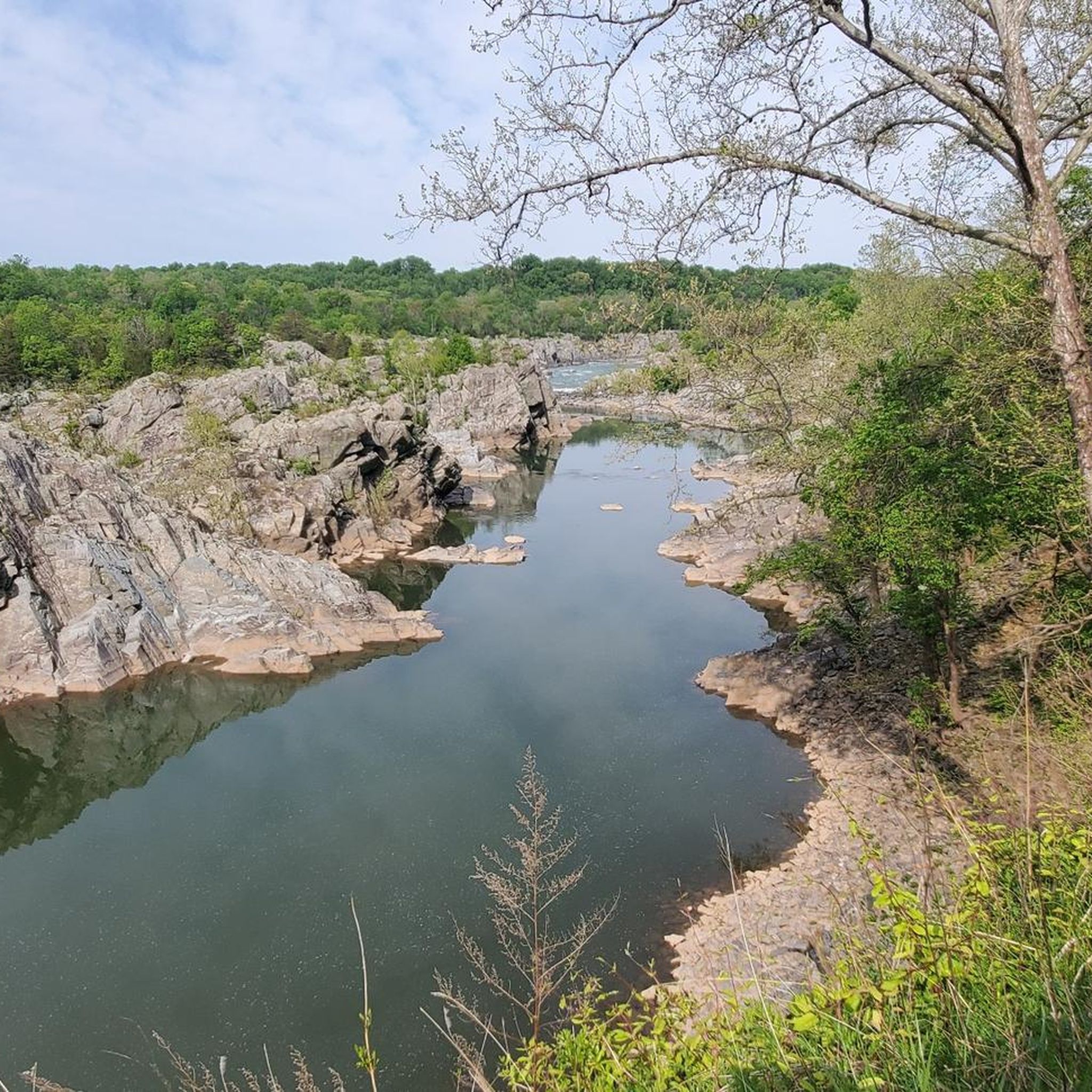
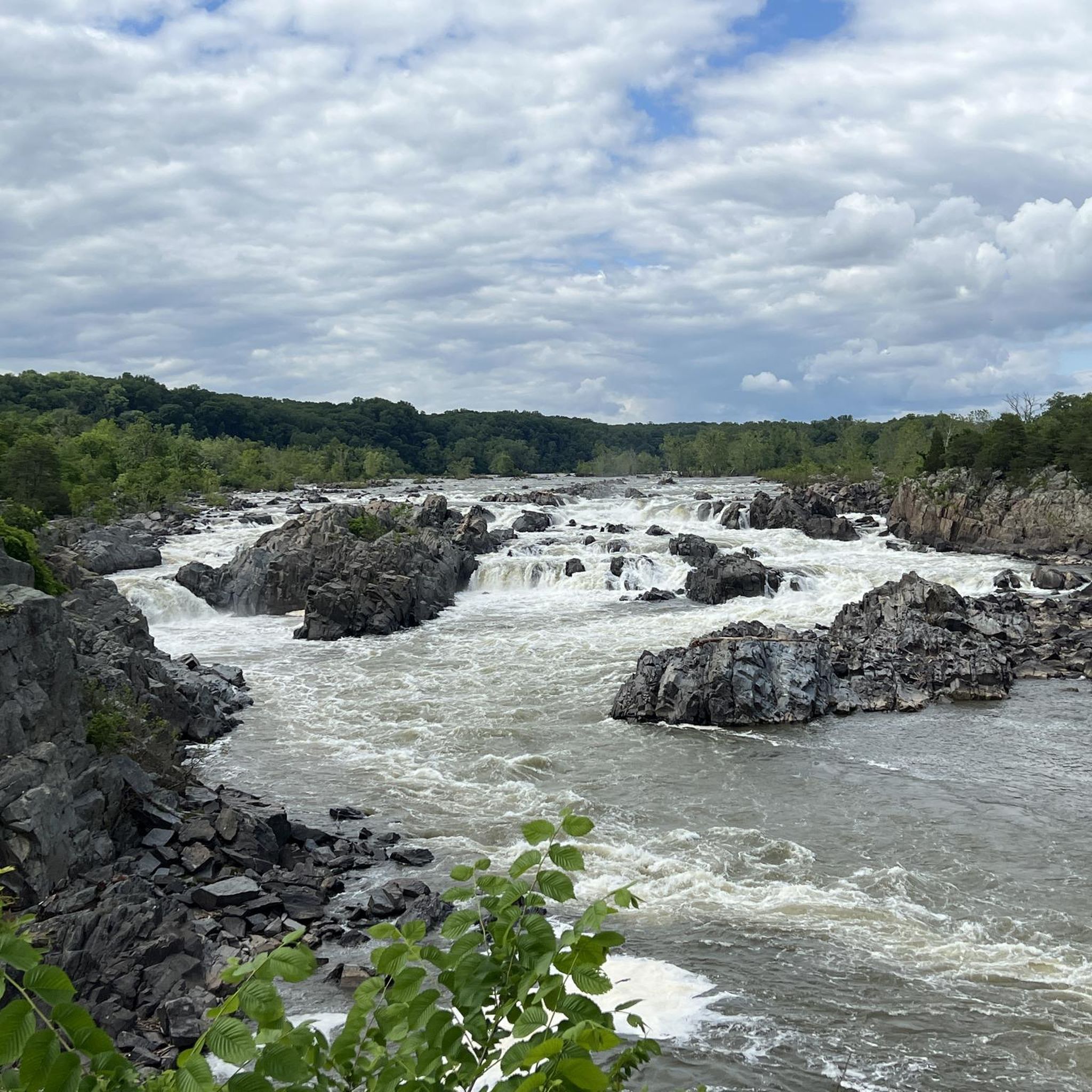
Here there is a small pebble beach, giving visitors access to the calm waters of the Potomac River. There is no lifeguard or anything here, but it is a great spot to dip on a hot day.
0
0

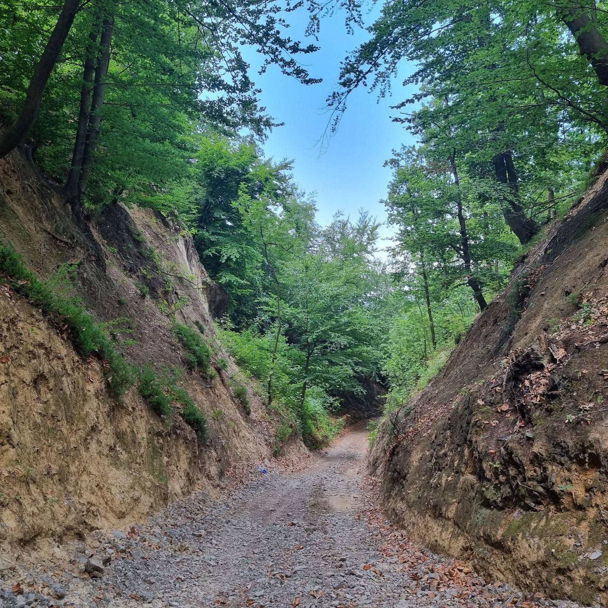
This section offers a more isolated view of the Potomac River through a wooded trail. While the trail is clearly marked, it may be slightly overgrown in certain areas, so wearing pants is advisable.
0
0

Good protected access point for dogs to hop in the water and swim around.
1
0

The Orange trail winds down to the Potomac next to a lovely little stream through the woods. There are a couple bridges for crossing the stream, so no worries of getting your feet wet.
1
0
Great information boards, providing details about local wildlife at the Seneca Regional Park.
2
0
A series of small pebble beaches, ideal for dogs to swim.
3
0
Easy water access to either soak your feet or allow dogs to hop in and cool down. Current is minimal.
1
0
Frequently Asked Questions
Is the Sugarland Run Stream Valley Trail paved?
Yes, the main Sugarland Run Stream Valley Trail is a paved asphalt path, making it accessible for hikers, runners, and bicyclists. However, the wider trail network also includes unpaved side trails and connectors, offering a mix of surfaces for your hike.
Are the trails around Sugarland Run family-friendly?
Absolutely. The region is known for its gentle gradients and accessible paths. Many trails are paved and relatively flat, which is ideal for families with children. A great option is the Claude Moore Park loop — Sterling, which offers an easy and engaging walk through parkland.
What are the stream crossings like on the trails?
A unique feature of the area is its 'fair-weather crossings,' which are concrete stepping stones that let you cross Sugarland Run. These can be a fun part of the adventure, but they may become impassable or slippery during periods of high water. The trail system also includes bridges for those who prefer to stay dry.
Are dogs allowed on the Sugarland Run trails?
Yes, dogs are generally welcome on the trails in the Sugarland Run area, provided they are kept on a leash. The paved and unpaved paths offer plenty of space for you and your canine companion to explore the local woodlands and stream-side scenery.
Where can I find parking for the trails?
Parking is available at several trailheads and connecting parks. For example, you can find access and parking for the Potomac Heritage Trail & Orange Trail loop within Seneca Regional Park. Other access points are often found in neighborhood parks that connect to the main trail system.
How difficult are the hikes in the Sugarland Run area?
Most hikes around Sugarland Run are considered easy to moderate. The terrain is characterized by gentle gradients and well-maintained paths. Out of more than 35 routes in the area, the vast majority fall into the easy or moderate category, with very few strenuous options.
What do other hikers think of the trails around Sugarland Run?
The area is well-regarded by the komoot community, with an average rating of 4.4 stars. Hikers often praise the peaceful, wooded scenery along the stream and the accessibility of the trail network for a quick escape into nature.
How long are the hiking trails in Sugarland Run?
Trail lengths vary, allowing for customizable hikes. You can find short, easy walks under 3 miles or combine paths for a longer outing. For a more substantial hike, consider the Seneca Regional Park & Upper Potomac Park loop, which is a moderate route covering nearly 7 miles.
What kind of scenery and wildlife can I expect?
The trails follow Sugarland Run through a lush, wooded corridor, providing plenty of shade and picturesque water views. The area is a rich habitat for a suburban park, and it's not uncommon to spot deer, rabbits, and a variety of bird species like the Great Blue Heron.
Are there any historical points of interest along the trails?
Yes, where the trail system intersects with the W&OD Trail, you can see a historic stone railroad bridge dating back to around 1857. This structure was part of the original Alexandria, Loudoun and Hampshire Railroad and adds a unique historical element to your hike.
Which parks connect to the Sugarland Run trail system?
The Sugarland Run Stream Valley Trail is a key connector, linking several local parks and trails. It provides direct access to Runnymede Park and also connects to the Washington & Old Dominion (W&OD) Trail, expanding your options for longer hikes or bike rides.
Is there a good trail for a very flat walk?
Yes, for an exceptionally flat and easy hike, the Algonkian Regional Park loop — Sterling is an excellent choice. It has minimal elevation change and follows paths along the Potomac River, making it perfect for a relaxed stroll.
Most popular attractions around Sugarland Run

Get inspired with the komoot mobile app


Explore more
Browse the best Hikes in other regions.
