The best road cycling routes around Mcgaheysville
4.0
(1)
320
riders
18
rides
Road cycling around Mcgaheysville features routes through a landscape characterized by rolling hills and forested roads, offering varied terrain for cyclists. The region includes significant elevation changes, with routes often traversing mountain passes and valleys. This area provides opportunities for road cyclists to experience both challenging climbs and scenic descents.
Best road cycling routes around Mcgaheysville
- The most popular road cycling route is Piney Mountain loop from Massanutten, a 50.3 miles (80.9 km) trail that takes 3 hours 40…
Last updated: July 9, 2026
41
riders
87.3km
03:56
740m
740m
Moderate road ride. Good fitness required. Some segments of this route may be unpaved and difficult to ride.
23
riders
138km
06:59
2,210m
2,210m
Hard road ride. Very good fitness required. Mostly well-paved surfaces and easy to ride.

Sign up for free
29
riders
59.1km
02:51
600m
600m
Moderate road ride. Good fitness required. Mostly well-paved surfaces and easy to ride.
18
riders
48.5km
02:14
400m
400m
Moderate road ride. Good fitness required. Mostly well-paved surfaces and easy to ride.
30
riders
56.4km
02:39
530m
530m
Moderate road ride. Good fitness required. Mostly well-paved surfaces and easy to ride.
Get access to more routes and recommendations from other explorers.
Sign up for free
Already have an account?
Our route recommendations are based on thousands of hikes, rides, and runs completed by other people on komoot.
Start today with a free account
Your next adventure awaits.
Login or Signup



Tips from the Community

It is because of such views that the drive is popular.
0
1
The view is often very wide. This spot in particular is great
0
0

Coming from Thorton Gap, the view above the tunnel provides a nice break - the climbs start immediately after Thorton and go for the next 4.5 miles, so enjoy the scenery!
1
0
Great spot on the exit to Skyland, where there is a restuarant and nice restrooms.
0
0

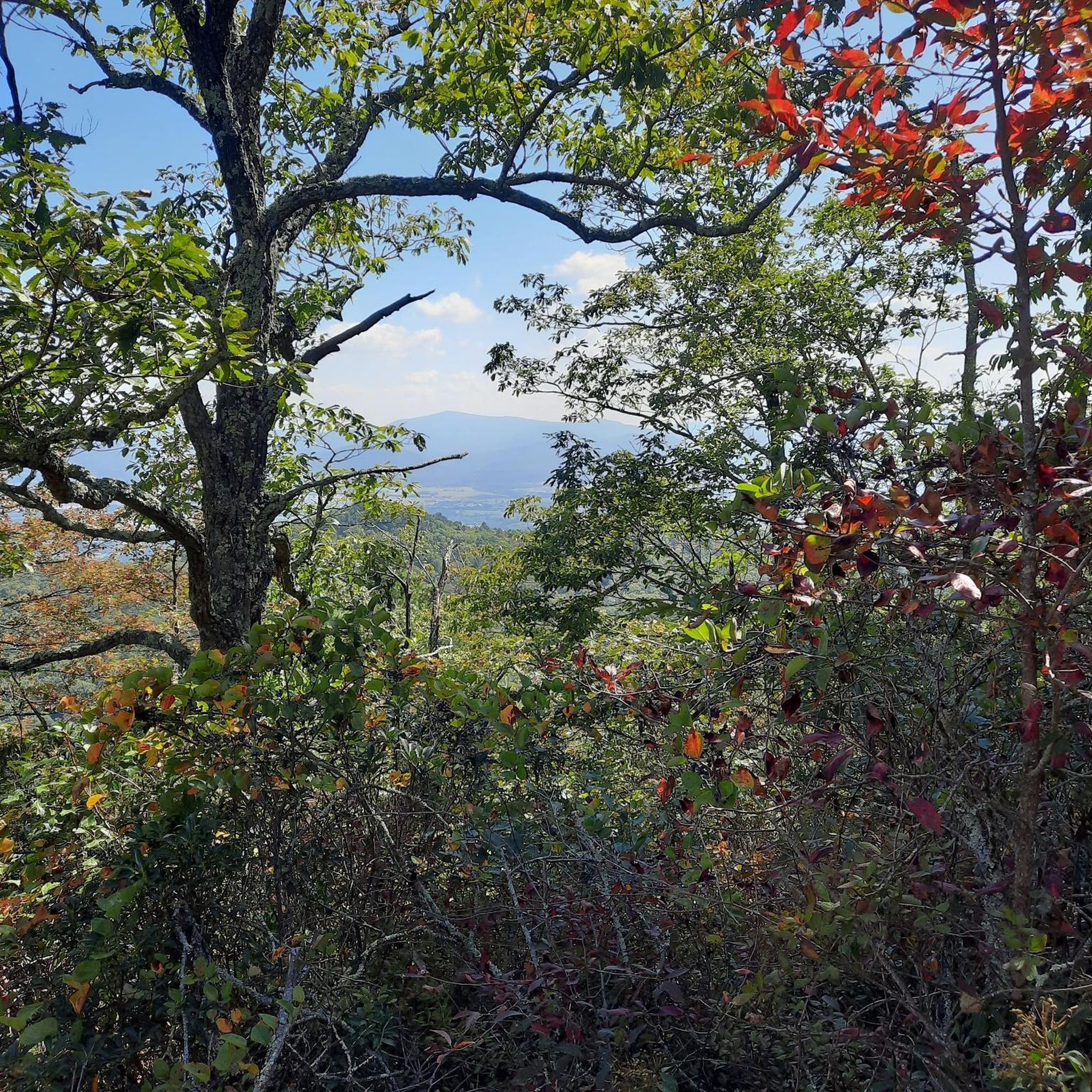
This lookout point has an interesting granodiorite formation underfoot. That is literally the bedrock of the Blue Ridge Mountains, originally formed miles beneath the earth's surface. When you look out to the southeast you'll also see Buck Ridge first, then Hazel Mountain in the distance.
0
0
Pinnacle Ridge is the obvious star of this 3,320-foot (1011 m) lookout point, but you can also see Hot Mountain to the left of the ridge, and Old Rag Mountain — one of the most popular summit hikes in all of Shenandoah National Park — in the distance.
0
0
Pinnacle Ridge is the obvious star of this 3,320 ft (1011 m) lookout point, but you can also see Hot Mountain to the left of the ridge, and Old Rag Mountain — one of the most popular summit hikes in all of Shenandoah National Park — in the distance.
0
0
Facing east-northeast, this overlook offers you a nice peek at Old Rag Mountain, one of the most popular summit hikes in Shenandoah National Park. This viewpoint sits at 3,585 feet (1,092 m) in elevation, whereas Old Rag stands 3,291 feet (1,003 m) tall, so you're actually higher than the mountain's summit.
1
0
Frequently Asked Questions
How many road cycling routes are available around Mcgaheysville?
There are over 15 road cycling routes around Mcgaheysville, offering a variety of experiences for different skill levels. The region is known for its rolling hills and forested roads.
Are there any easy or beginner-friendly road cycling routes in Mcgaheysville?
Yes, while many routes feature significant elevation changes, there is at least one easy road cycling route available. These typically offer a gentler introduction to the area's terrain.
What are the options for advanced road cyclists seeking a challenge?
Mcgaheysville offers several challenging routes for advanced cyclists, with 5 routes rated as difficult. These routes often include substantial climbs and descents through mountain passes. For example, the Skyline Drive – Fishers Gap Overlook loop from Massanutten is a demanding 85.8-mile route with over 7,200 feet of elevation gain.
What is the typical length and duration of road cycling routes in this area?
Route lengths vary significantly. You'll find routes ranging from shorter options to longer excursions. For instance, the Woodland loop from Massanutten is about 35 miles and takes around 2 hours 38 minutes, while the Piney Mountain loop from Massanutten covers 50.3 miles, typically completed in 3 hours 40 minutes.
Are there any loop road cycling trails around Mcgaheysville?
Many of the road cycling routes in Mcgaheysville are designed as loops, allowing you to start and finish at the same point. Examples include the Piney Mountain – Port Republic Park loop from Massanutten and the Fox Mountain loop from Massanutten.
What is the best season for road biking in Mcgaheysville?
The spring and fall seasons are generally considered ideal for road cycling in Mcgaheysville, offering pleasant temperatures and beautiful scenery as the foliage changes or blooms. Summer can also be enjoyable, though it's advisable to start earlier in the day to avoid the peak heat.
What kind of scenery can I expect on road cycling routes in Mcgaheysville?
Road cycling routes in Mcgaheysville are characterized by scenic views of rolling hills, dense forested areas, and glimpses of mountain passes. You'll experience a mix of open roads and tree-lined sections, providing a diverse and picturesque backdrop for your ride.
What do other road cyclists enjoy most about road cycling in Mcgaheysville?
The area is highly rated by the komoot community, with an average score of 4.0 stars. Reviewers often praise the varied terrain, which includes both challenging climbs and rewarding descents, and the beautiful forested landscapes.
Are there road cycling routes with lower traffic in Mcgaheysville?
Many routes in Mcgaheysville traverse quieter, rural roads through forested areas, which generally experience lower traffic volumes compared to main thoroughfares. This allows for a more peaceful and immersive cycling experience amidst nature.
Is Mcgaheysville suitable for family-friendly road biking?
While many routes feature significant elevation, there are options that can be adapted for families, particularly those with older children or more experienced young riders. Look for routes described as 'easy' or those with less intense climbs for a more family-friendly experience.
Where can I find parking for road cycling routes in Mcgaheysville?
Parking availability often depends on the specific starting point of your chosen route. Many routes begin near Massanutten, where various parking options may be available. It's recommended to check the route details on komoot for specific parking suggestions near the trailhead or starting point.
Most popular routes around Mcgaheysville

Get inspired with the komoot mobile app


Explore more
Browse the best Road cycling routes in other regions.
