Weißenkirchen im Attergau
Weißenkirchen im Attergau
The 13 Most Amazing Peaks around Weißenkirchen im Attergau
Mountain peaks around Weißenkirchen im Attergau offer access to various elevated points and mountain peaks that provide views and hiking experiences. The region includes the Lichtenberg and more challenging summits within the broader Attergau area, such as those in the Höllengebirge. These locations feature diverse hiking terrain and natural features. The area provides options ranging from accessible paths to demanding summit tours.
Best mountain peaks around Weißenkirchen im Attergau
- The most popular mountain peaks is Buchberg summit cross, a…
Last updated: July 7, 2026
Buchberg summit cross
Highlight • Summit
Translated by Google •
Tip by

Hochalm Lupine Meadow
Highlight • Viewpoint
Translated by Google •
Tip by

Sign up now to discover places like this
Get recommendations on the best single tracks, peaks, & plenty of other exciting outdoor places.
Sign up for free
Kalteis Hut
Highlight • Mountain Hut
Translated by Google •
Tip by

Rossmoos – Highest Point of Nußdorf am Attersee (1015 m)
Highlight • Summit
There are small pools where …
Translated by Google •
Tip by

Kulmspitze Observation Tower
Highlight • Viewpoint
Translated by Google •
Tip by

Sign up for free to discover even more peaks around Weißenkirchen im Attergau.
Sign up for free
Already have an account?
Start today with a free account
Your next adventure awaits.
Login or Signup
Popular around Weißenkirchen im Attergau

Tips from the Community

The path is hard to find, everything is overgrown and unkempt
0
0

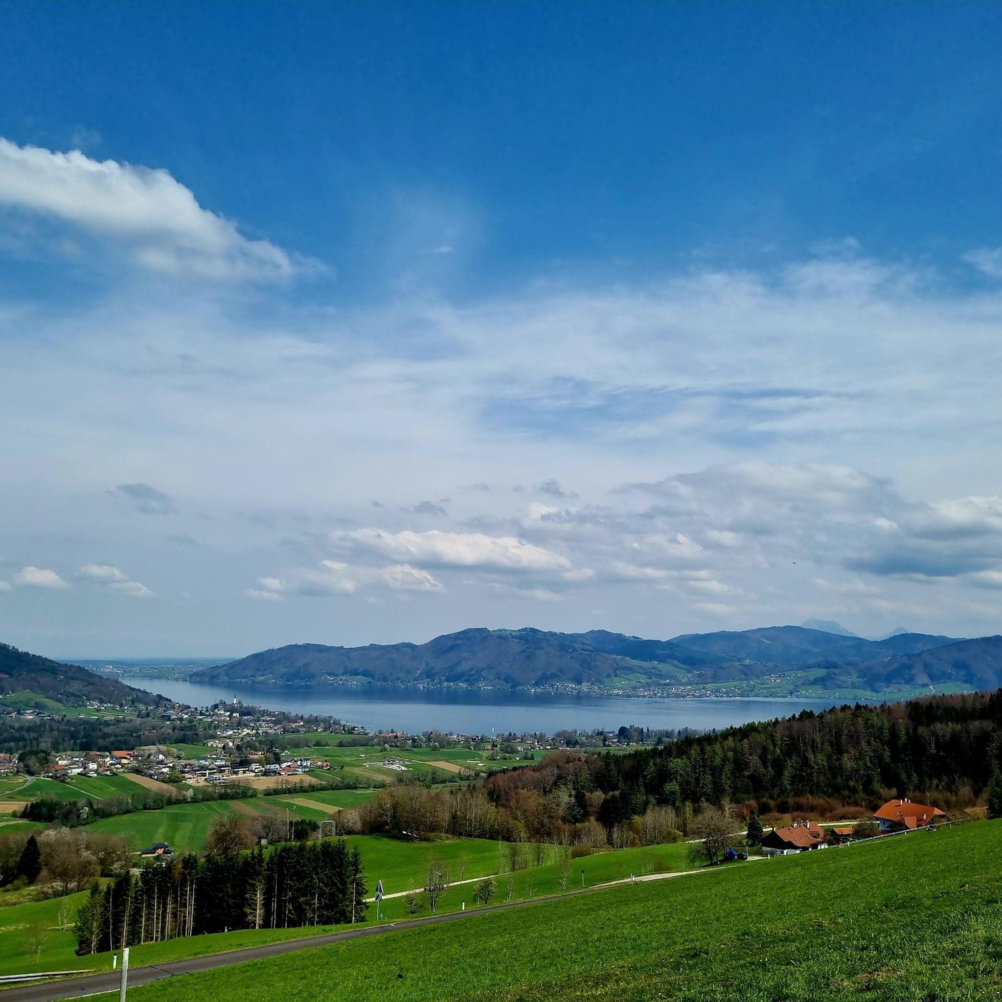
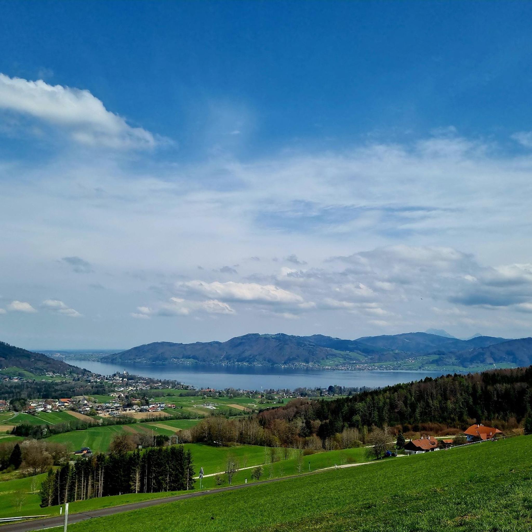
The short detour up from the Schauerwaldstraße is truly worth it. From the vast clearing of the Hochalm, the view opens up over the valley surrounding Oberwang and the hills toward Attersee and the Höllengebirge mountains. Opposite, to the southeast, the Schafberg mountain overlooks the forested mountains between Mondsee and Attersee. On the Kulmspitze, to the left of the Schafberg, is the magnificent observation tower.
0
0

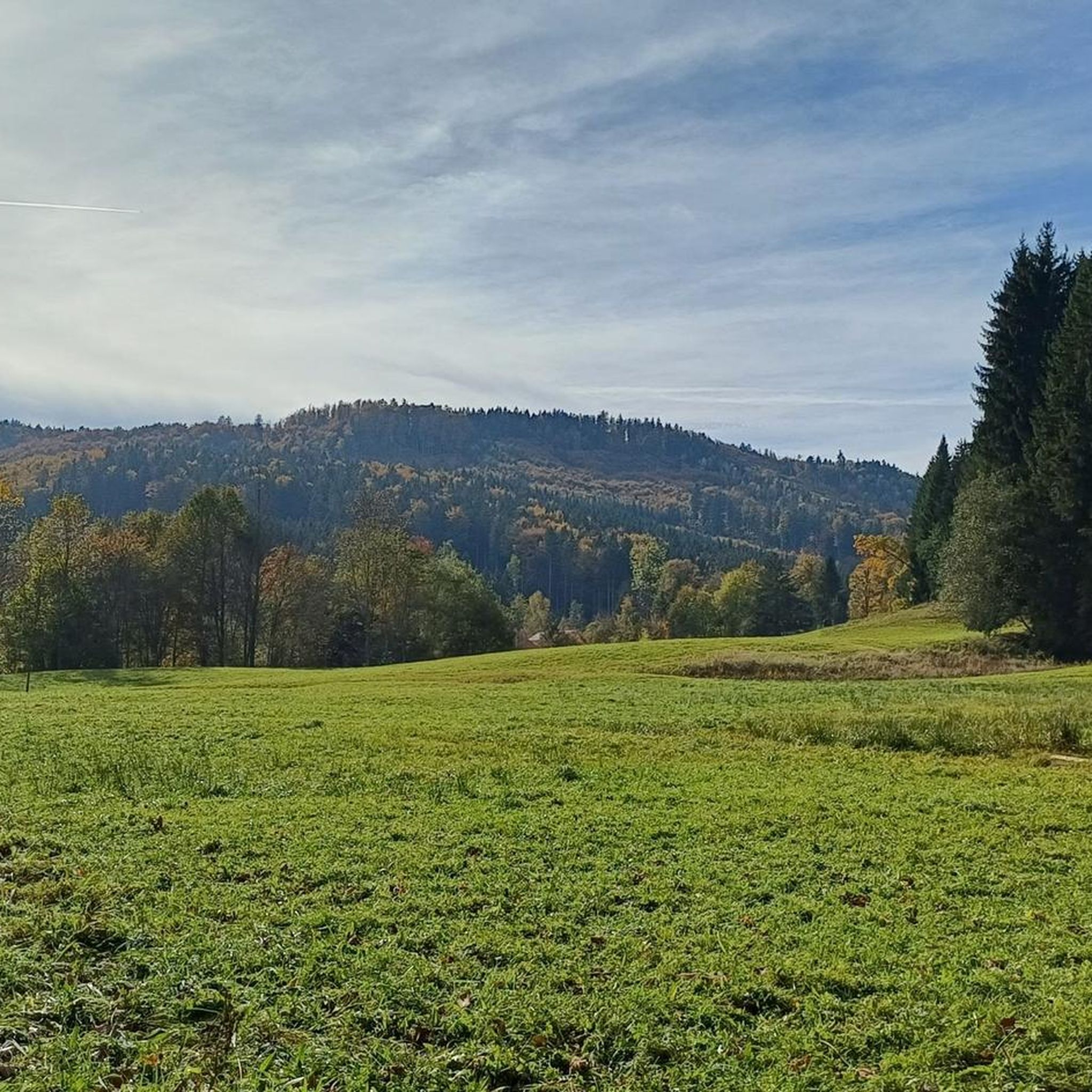
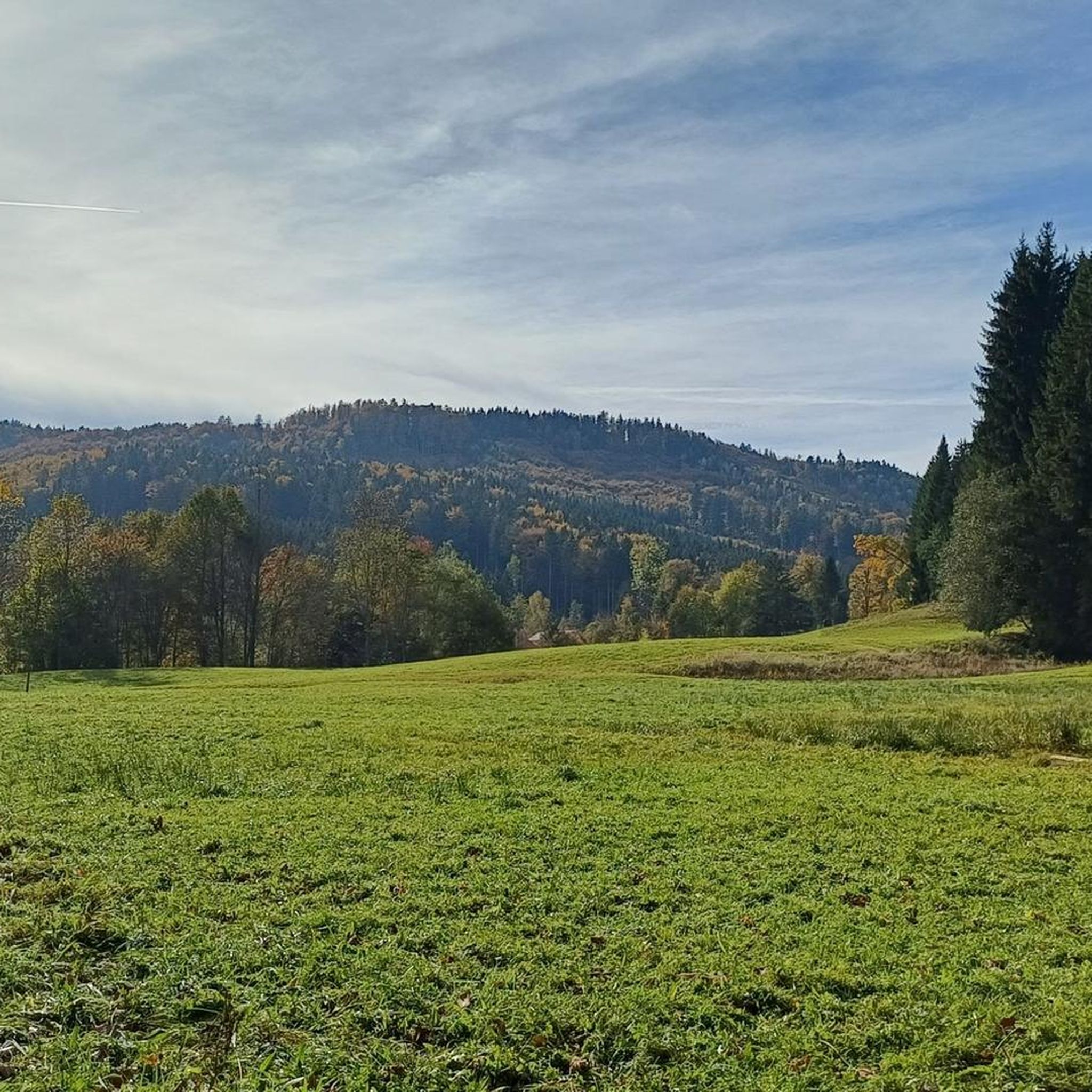
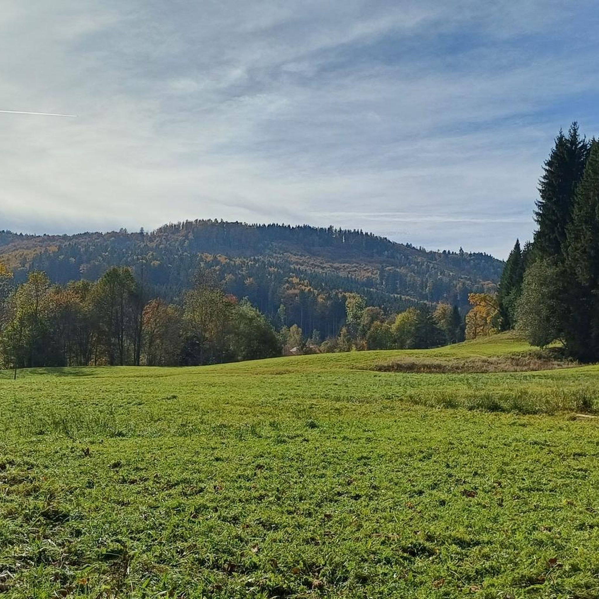
Unfortunately, the grass was head-high today, making the path heavily overgrown. Still, it's a worthwhile hike. True, the view isn't particularly good...but a small platform to climb onto at the summit would be enormously worthwhile, with the view of Lake Attersee, Schafberg, and Dachstein.
0
0

A fantastic observation tower, a very beautiful construction made of wood and steel. From the 24-meter-high observation deck, you have a magnificent view, and panoramic windows make orientation easier. A very beautiful facility.
2
0

Craziness. A small Fight up here, but you'll be rewarded for everything. Insanesss view. When the weather is good, it's almost endless! A dream.
2
0
You are not allowed to start officially (hiking trail) and it is also very tedious with the gravel bike. I would therefore not recommend with the Gravel.
0
0

Very nice vantage point, which can be reached perfectly with a gravel bike!
3
0

It is a 734 meter high mountain in the Hausruck and Kobernausserwald range in the Hausruckviertel. The summit is in the municipality of Pöndorf. To the northwest, the Rabenbachtal leads to the Hochecker Schwemmbachtal and thus to Mattig and Inn, to the west is the Fornacher Redltal, which drains with the Bruckwiesenbach to the Vöckla and via the Ager to the Traun. The mountain is mostly counted towards the Kobernausserwald, partly also towards the Hausruck – the demarcation of which is seen somewhere in the room. The name is likely to be of Slavic origin, -eis is a typical Windian educational syllable. In the Franciscan cadastre of the 1830s, a small hilltop settlement of Branauer is listed here, as well as an important border tree. There is said to have been an inn here. A single hut still stands today. A chapel is said to have stood nearby even earlier, according to Carl Schütz in 1787, in the south towards Meisterholz there is a St. Wolfgang. It must have fallen into disrepair by the 1830s. The mountain can be reached from all sides on numerous forest roads, through the valleys as well as along the ridges. A forest road also runs along the ridge itself. This makes the area good for hiking and mountain biking
2
0
Frequently Asked Questions
What are some popular mountain peaks and viewpoints near Weißenkirchen im Attergau?
The region offers a variety of elevated points. Popular choices include the Buchberg summit cross, known for its views of the Attersee, and the Kulmspitze Observation Tower, which provides panoramic vistas from its 28-meter height. The Lichtenberg Observation Tower, very close to Weißenkirchen im Attergau, is also highly recommended for its accessible paths and views.
Are there family-friendly mountain peaks or viewpoints suitable for all fitness levels?
Yes, the Lichtenberg Observation Tower is an excellent choice for families and those seeking an easy hike. Its paths are easily accessible, and the area is suitable for all fitness levels, often taking up to two hours with a moderate elevation gain. The Buchberg summit cross is also considered family-friendly.
What are the more challenging mountain peaks for experienced hikers in the region?
For experienced hikers, the Höllengebirge mountains offer more demanding and rewarding summit hikes. Peaks like Brunnkogel, Hochleckenkogel, Mathiaskogel, and Jagaköpfl are part of a rigorous tour from Taferklause, featuring forest paths and steep scree fields. The Schafberg, Schoberstein, and Hochlecken, accessible via the Attersee-Attergau long-distance trail, also present challenging ascents with stunning views.
What kind of natural features can I expect to see from these mountain peaks?
From these peaks, you can expect breathtaking panoramic views of the Salzkammergut lakes, including the turquoise Attersee, and the surrounding lush, green landscapes. Highlights like the Hochalm Lupine Meadow offer natural meadows and views towards the Höllengebirge, especially beautiful when lupines bloom from mid-May to mid-June.
What is the best time to visit the mountain peaks around Weißenkirchen im Attergau?
The region's mountain peaks can be enjoyed almost all year round, depending on the specific trail and weather conditions. The Buchberg summit cross, for instance, is accessible for climbs almost all year. Shaded forest paths, like those on the Lichtenberg, make it an enjoyable destination even on hot days. For higher, more challenging peaks, spring to autumn generally offers the best conditions.
Are there any huts or places to rest near the mountain trails?
Yes, for instance, the Kalteis Hut is located on a 734-meter high mountain and provides a nice place for a short rest. During more demanding hikes in the Höllengebirge, a rest stop at the Hochleckenhaus is possible.
What outdoor activities can I do near the mountain peaks of Weißenkirchen im Attergau?
Beyond hiking, the area is excellent for cycling and mountain biking, with numerous forest roads accessible from all sides, particularly around the Kalteis Hut. You can find various routes, including easy hikes and more challenging tours. For more ideas, explore the Easy hikes around Weißenkirchen im Attergau guide or the Gravel biking around Weißenkirchen im Attergau guide.
Are there specific hiking trails near these mountain peaks?
Yes, there are many hiking trails. For example, you can find easy routes like the "Lichtenberg Observation Tower – View of Strass im Attergau loop from Weißenkirchen im Attergau" or the "Forest Apothecary – Hourglass Installation loop from Weißenkirchen im Attergau." More moderate options include the "Hourglass Installation – Lichtenberg Observation Tower loop from Weißenkirchen im Attergau." You can find detailed information in the Hiking around Weißenkirchen im Attergau guide.
What do visitors enjoy most about the mountain peaks in this region?
Visitors consistently praise the fantastic panoramic views, especially those overlooking the Attersee and the broader Salzkammergut lakes. The contrast between lush meadows and the turquoise lake is often highlighted. The accessibility of some paths, like those on the Lichtenberg, and the opportunity to enjoy local cuisine at places like the "Wirtshaus im Freudenthal" also contribute to a positive experience.
Is public transport available to reach mountains near Attergau?
While specific public transport routes to every trailhead can vary, the region around Attersee and Attergau is generally well-connected. It's advisable to check local bus schedules for connections to trailheads or starting points for longer tours, especially for destinations further into the Höllengebirge.
Are there any dog-friendly hiking trails in the Attergau mountains?
Many trails in the region are suitable for hiking with dogs. For example, the Hochalm Lupine Meadow is mentioned as a worthwhile walk, especially with a dog. It's always recommended to keep dogs on a leash and be mindful of local regulations and wildlife.
What is the highest point in the municipality of Nußdorf am Attersee?
The highest point in the municipality of Nußdorf am Attersee is Rossmoos (1015 m). While it doesn't offer a panoramic view from the very top, the path leading to it is beautiful, featuring small pools and mowed grass paths for hikers.
Most popular routes around Weißenkirchen im Attergau
Most popular attractions around Weißenkirchen im Attergau

Get inspired with the komoot mobile app


Explore more
See even more amazing summits around Weißenkirchen im Attergau with these guides:
