The best walks and hikes around Fétigny
4.4
(245)
1,341
hikers
102
hikes
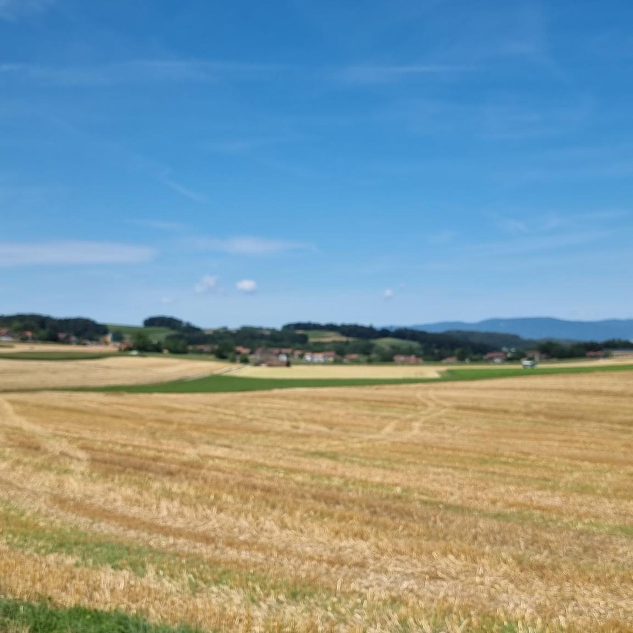
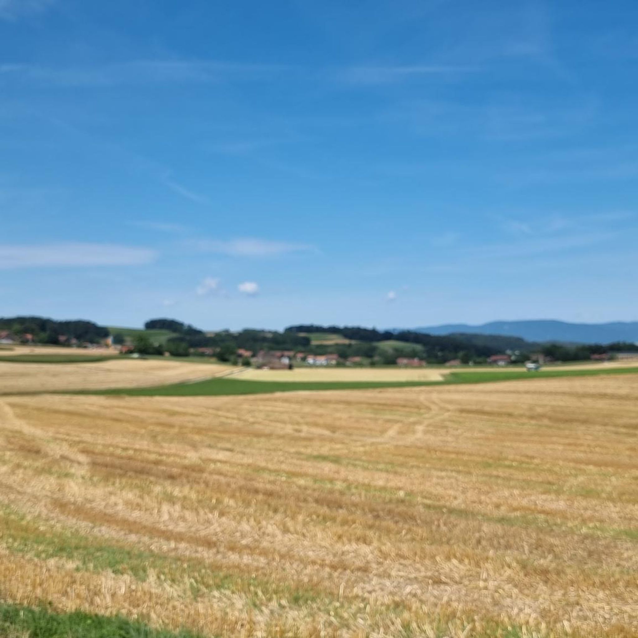
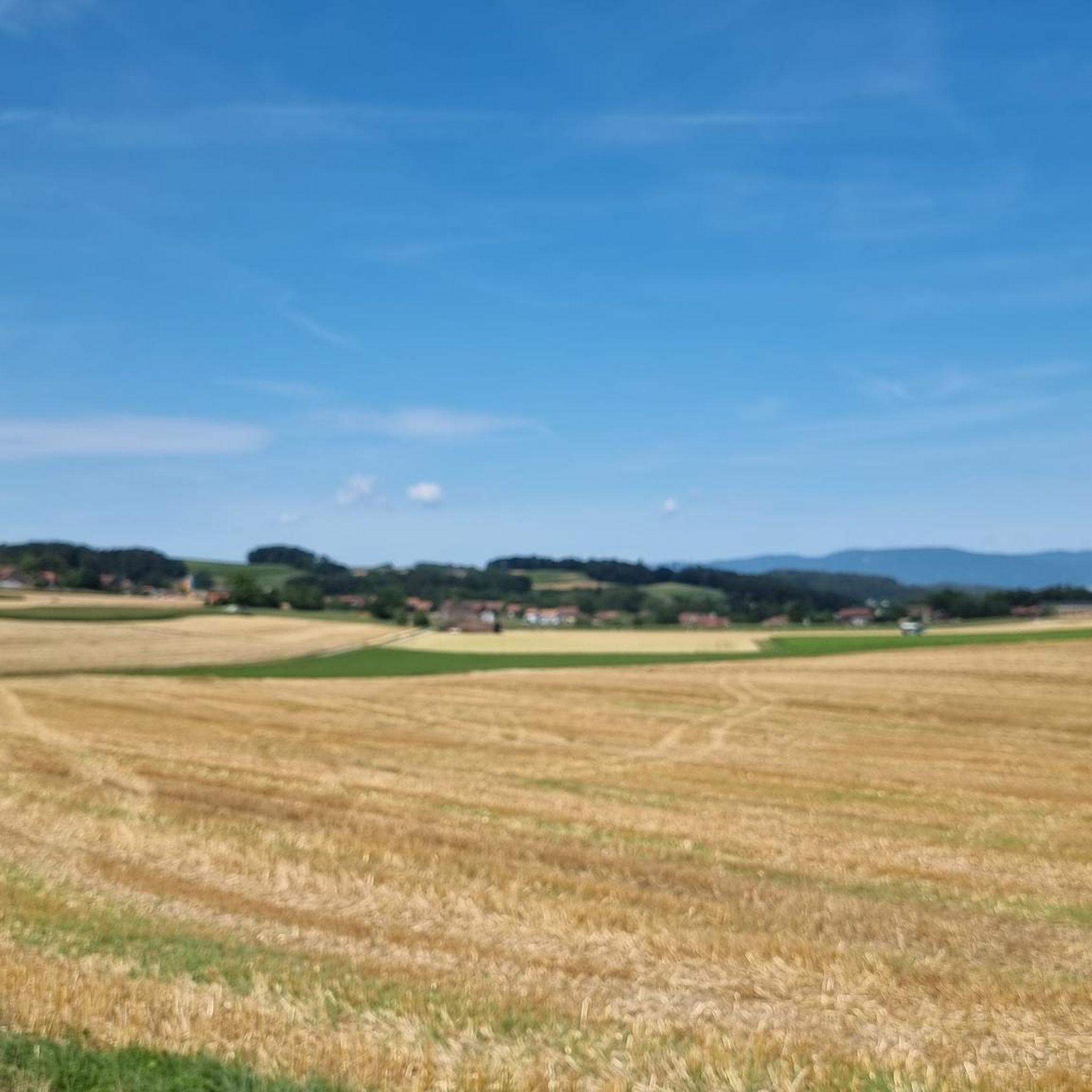
Hiking trails around Fétigny offer a network of paths through a gently rolling landscape in Fétigny, suisse. The region is characterized by open countryside, agricultural areas, and occasional wooded sections, with routes often following local tracks and paths. Elevation changes are generally modest, making many routes accessible for various fitness levels.
Best hiking trails around Fétigny
- The most popular hiking route is Route des Broyons loop from Fétigny, a 8.7 miles (14.0 km) trail that takes 3 hours 34…
Last updated: October 9, 2026
4.0
(1)
25
hikers
Moderate hike. Good fitness required. Easily-accessible paths. Suitable for all skill levels.
28
hikers
Easy hike. Great for any fitness level. Easily-accessible paths. Suitable for all skill levels.

4.5
(4)
17
hikers
15.2km
04:12
260m
260m
Moderate hike. Good fitness required. Easily-accessible paths. Suitable for all skill levels.
25
hikers
4.68km
01:11
10m
10m
Easy hike. Great for any fitness level. Easily-accessible paths. Suitable for all skill levels.
5.0
(2)
10
hikers
10.9km
03:00
170m
170m
Moderate hike. Good fitness required. Easily-accessible paths. Suitable for all skill levels.
Get access to more routes and recommendations from other explorers.
Already have an account?
Our route recommendations are based on thousands of hikes, rides, and runs completed by other people on komoot.
Start today with a free account
Your next adventure awaits.
Tips from the Community

A footbridge over the Broye between Henniez and Villeneuve
0
0
Nice bridge over the Lembe.
0
0
Molasse rock on the heights of Marnand
0
0
Medieval church dedicated to Saint George
0
0

The tower is open continuously from April (Easter) to October. Admission is free. People with walking difficulties or acute fear of heights should avoid the tower. There is only a staircase up and down. Crossing on the inner staircase is a bit difficult. The outer staircase has around 45 steps, the inner one around 65. The view from the 30-meter-high tower top is unique. At the foot of the tower, a spacious meadow with scattered benches and tables invites you to linger. Cultural events such as festivals and the like regularly take place here. Next to the tower, there are no other noteworthy buildings (excluding the church) that can be visited.
0
0
The tower is open continuously from April (Easter) to October. Admission is free. People with walking disabilities or acute fear of heights should avoid the tower. There is only one staircase up and down. Crossing on the inner staircase is a bit difficult. The outer staircase has around 45 steps, the inner one around 65. The view from the 30-meter-high tower top is unique. At the foot of the tower, a spacious meadow with scattered benches and tables invites you to linger. Cultural events such as festivals and the like always take place here. Next to the tower, there are no other noteworthy buildings (apart from the church) that can be visited.
1
0
The tower is open continuously from April (Easter) to October. Admission is free. People with walking difficulties or acute fear of heights should avoid the tower. There is only one staircase up and down. Crossing on the inner staircase is a bit difficult. The outer staircase has around 45 steps, the inner one around 65. The view from the 30-meter high tower top is unique. At the foot of the tower, a spacious meadow with scattered benches and tables invites you to linger. Cultural events such as festivals and the like regularly take place here. Next to the tower, there are no other noteworthy buildings (apart from the church) that can be visited.
0
0
The tower is open continuously from April (Easter) to October. Admission is free. People with mobility impairments or acute fear of heights should avoid the tower. There is only one staircase up and down. Crossing on the inner staircase is a bit difficult. The outer staircase has around 45 steps, the inner one around 65. The view from the 30-meter-high tower top is unique. At the foot of the tower, a spacious meadow with scattered benches and tables invites you to linger. Cultural events such as festivals and the like always take place here. Next to the tower, there are no other noteworthy buildings (apart from the church) that can be visited.
0
0
Frequently Asked Questions
What is the general character of hiking trails around Fétigny?
Hiking trails around Fétigny are characterized by a gently rolling landscape, primarily featuring open countryside, agricultural areas, and occasional wooded sections. The routes often follow local tracks and paths with generally modest elevation changes, making them accessible for various fitness levels.
Are there many easy hiking trails suitable for beginners or families in Fétigny?
Yes, Fétigny offers a good selection of easy trails. Out of over 100 routes, 47 are classified as easy. A great option for a relaxed walk is the Route des Broyons loop from Granges-près-Marnand, which is 3.2 miles (5.1 km) with minimal elevation gain. Another easy choice is the Route des Broyons loop from Trey, covering 4.7 miles (4.6 km).
What is the typical length and duration of hikes in the Fétigny area?
Hikes in Fétigny vary in length and duration. You can find shorter, easy strolls like the 3.2-mile (5.1 km) Route des Broyons loop from Granges-près-Marnand, which takes about 1 hour 18 minutes. For longer excursions, consider the 9.3-mile (15.0 km) Payerne – Payerne Abbey loop from Payerne, typically completed in about 4 hours 10 minutes.
Are there any circular hiking routes in Fétigny?
Yes, many of the trails in Fétigny are designed as loops, offering convenient starting and ending points. Popular circular routes include the Route des Broyons loop from Fétigny, an 8.7-mile (14.0 km) moderate trail, and the shorter Route des Broyons loop from Granges-près-Marnand.
What kind of attractions or landmarks can I expect to see along the hiking trails?
While hiking around Fétigny, you can explore charming local villages and enjoy the open agricultural landscapes. Nearby, you can visit historical sites such as the Payerne Old Town and Abbey Church, or the impressive Chenaux Castle. The region also offers natural highlights like the Arbognes Singletrack and Waterfall.
Is Fétigny a good destination for dog-friendly hiking?
The open countryside and agricultural paths around Fétigny generally make it a welcoming area for hiking with dogs. Many trails are on local tracks and through fields, which are often suitable for leashed dogs. Always ensure your dog is under control, especially near livestock, and check local signage for any specific restrictions.
What is the best time of year to go hiking in Fétigny?
The best time for hiking in Fétigny is typically from spring through autumn (April to October). During these months, the weather is generally mild, and the landscapes are vibrant. Spring brings blooming fields, while autumn offers pleasant temperatures and colorful foliage. Summer is also good, but be prepared for warmer temperatures and potential sun exposure in open areas.
Are there any challenging hikes for experienced hikers in Fétigny?
While Fétigny's landscape is generally gently rolling, there are moderate routes that offer a good workout. For instance, the Route des Broyons loop from Fétigny is 8.7 miles (14.0 km) and takes over 3.5 hours, providing a moderate challenge. Another option is the Route des Broyons – La Trémeule Singletrack loop from Granges-Marnand, which is 6.7 miles (10.8 km) with some elevation gain.
What do other hikers enjoy most about the trails in Fétigny?
The hiking trails in Fétigny are highly rated by the komoot community, with an average score of 4.4 stars from over 200 reviews. Hikers often praise the peaceful, open landscapes, the well-maintained local paths, and the accessibility of routes for various skill levels. The blend of agricultural scenery and occasional wooded sections is frequently highlighted.
Is public transport available to access hiking trailheads in Fétigny?
Fétigny and its surrounding villages are typically served by local public transport, such as post buses, which can connect you to various trailheads. It's advisable to check the local public transport schedules for specific routes and timings to plan your access to the starting points of your chosen hikes.
Are there any places to eat or have a pub lunch along the hiking routes?
Many hiking routes in Fétigny pass through or near small villages and towns where you can find local eateries, cafés, or restaurants for a meal or refreshment. For example, routes around Payerne, like the Payerne – Payerne Abbey loop from Payerne, offer opportunities to stop in town. It's always a good idea to check opening hours in advance, especially in smaller communities.
What are the conditions like for winter hiking in Fétigny?
Winter hiking in Fétigny is possible, but conditions can vary. The gently rolling terrain means heavy snowfall might make some paths muddy or icy, especially in shaded areas. However, many agricultural tracks remain accessible. Always check local weather forecasts and trail conditions before heading out, and wear appropriate footwear and layers for cold weather.
Most popular attractions around Fétigny

Get inspired with the komoot mobile app


Explore more
Browse the best Hikes in other regions.
