Sankt Gotthard im Mühlkreis
Sankt Gotthard im Mühlkreis
The 13 Most Amazing Peaks around Sankt Gotthard im Mühlkreis
Best mountain peaks around Sankt Gotthard im Mühlkreis are characterized by gentle hills and river valleys, offering elevated points for scenic views. This region in Upper Austria features a landscape of granite formations and forests, providing numerous hiking routes. The area's terrain elevation difficulty ranges from easy to moderate, making it accessible for various outdoor activities. Landmarks viewpoints natural features Sankt Gotthard im Mühlkreis include elevated points that offer panoramic vistas of the surrounding Mühlviertel.
Best mountain peaks around Sankt Gotthard im Mühlkreis
- The most popular mountain peaks is Koglerauer Spitz, a summit that is a 685 meter high mountain. It offers a summit experience close to the city with a view.
- Another must-see spot is View of Linz from the Euphemia Viewing Platform (Pöstlingberg), a viewpoint. Visitors can enjoy expansive views of Linz and the Danube, with opportunities to stop off at the Pöstlingberg-Schlössl restaurant.
- Visitors also love Gisela Tower and Gisela Cross on Lichtenberg, a viewpoint. This location features a cross and a tower, providing views and a destination for those seeking elevated terrain.
- Sankt Gotthard im Mühlkreis is known for summits, viewpoints, and historical sites. The area offers a variety of elevated points and natural features to explore, often combined with cultural landmarks.
- The mountain peaks around Sankt Gotthard im Mühlkreis are appreciated by the komoot community. The highlights in this guide have received 353 upvotes and feature 156 photos from visitors.
Last updated: July 7, 2026
View of Linz from the Euphemia Viewing Platform (Pöstlingberg)
Highlight • Viewpoint
Translated by Google •
Tip by

Koglerauer Spitz
Highlight • Summit
Translated by Google •
Tip by

Sign up now to discover places like this
Get recommendations on the best single tracks, peaks, & plenty of other exciting outdoor places.
Sign up for free
Waxenberg Castle Ruins
Highlight • Castle
Everyone is of course free to form their own opinion...
Source: meinbezirk.at/urfahr-umfeld/c-lokales/waechter-der-zeit-in-waxenberg-weren-auch-entfernt_a5120587
Translated by Google •
Tip by

Pöstlingberg
Highlight • Religious Site
And don't forget to light a candle ;-)
Translated by Google •
Tip by

Gisela Tower and Gisela Cross on Lichtenberg
Highlight • Viewpoint
Translated by Google •
Tip by

Sign up for free to discover even more peaks around Sankt Gotthard im Mühlkreis.
Sign up for free
Already have an account?
Start today with a free account
Your next adventure awaits.
Login or Signup
Popular around Sankt Gotthard im Mühlkreis
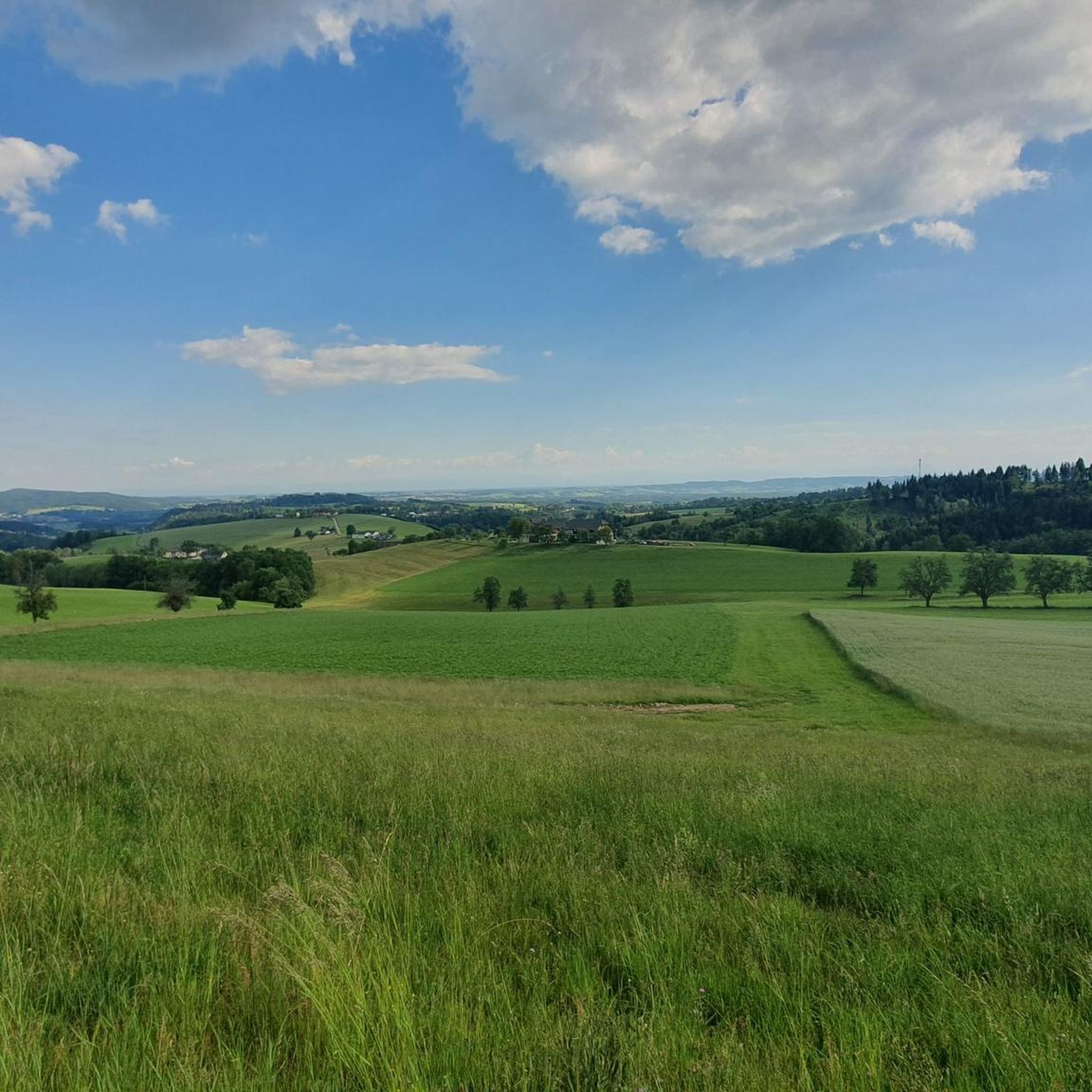
Cycling around Sankt Gotthard im Mühlkreis
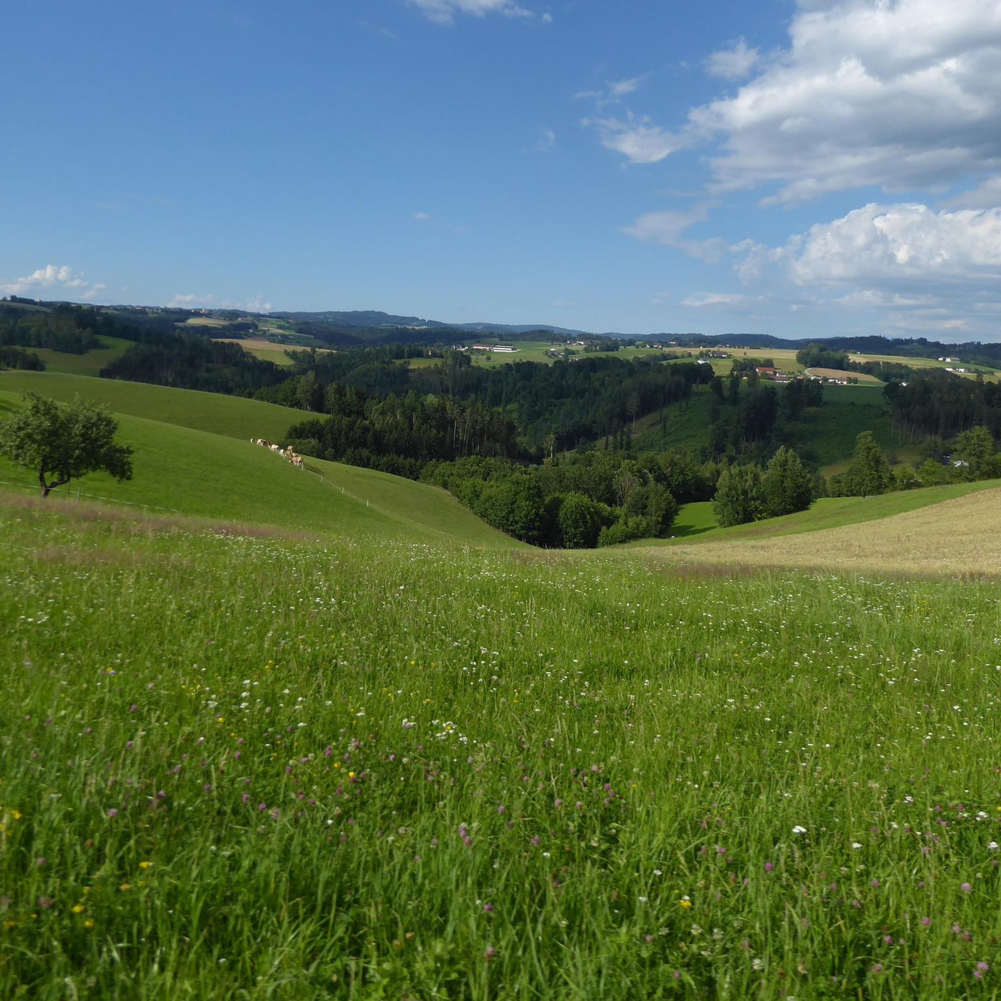
Road Cycling Routes around Sankt Gotthard im Mühlkreis
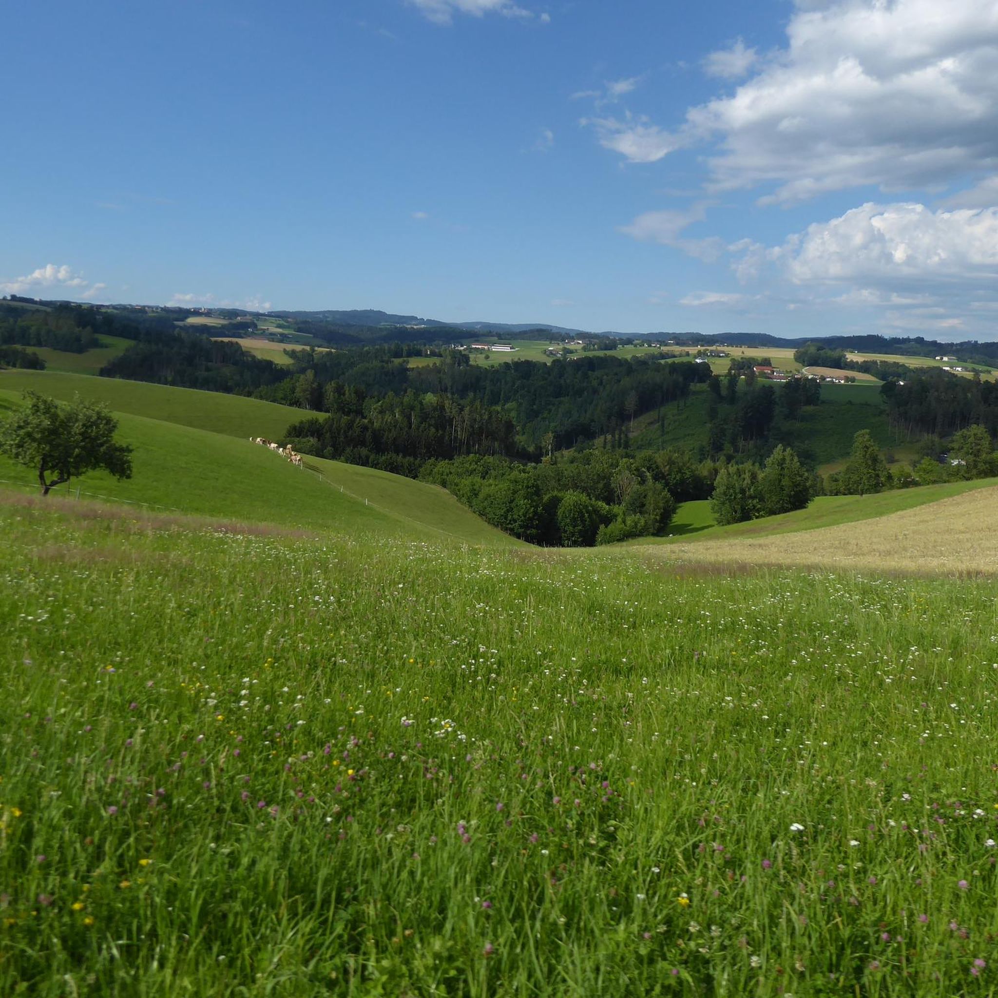
MTB Trails around Sankt Gotthard im Mühlkreis
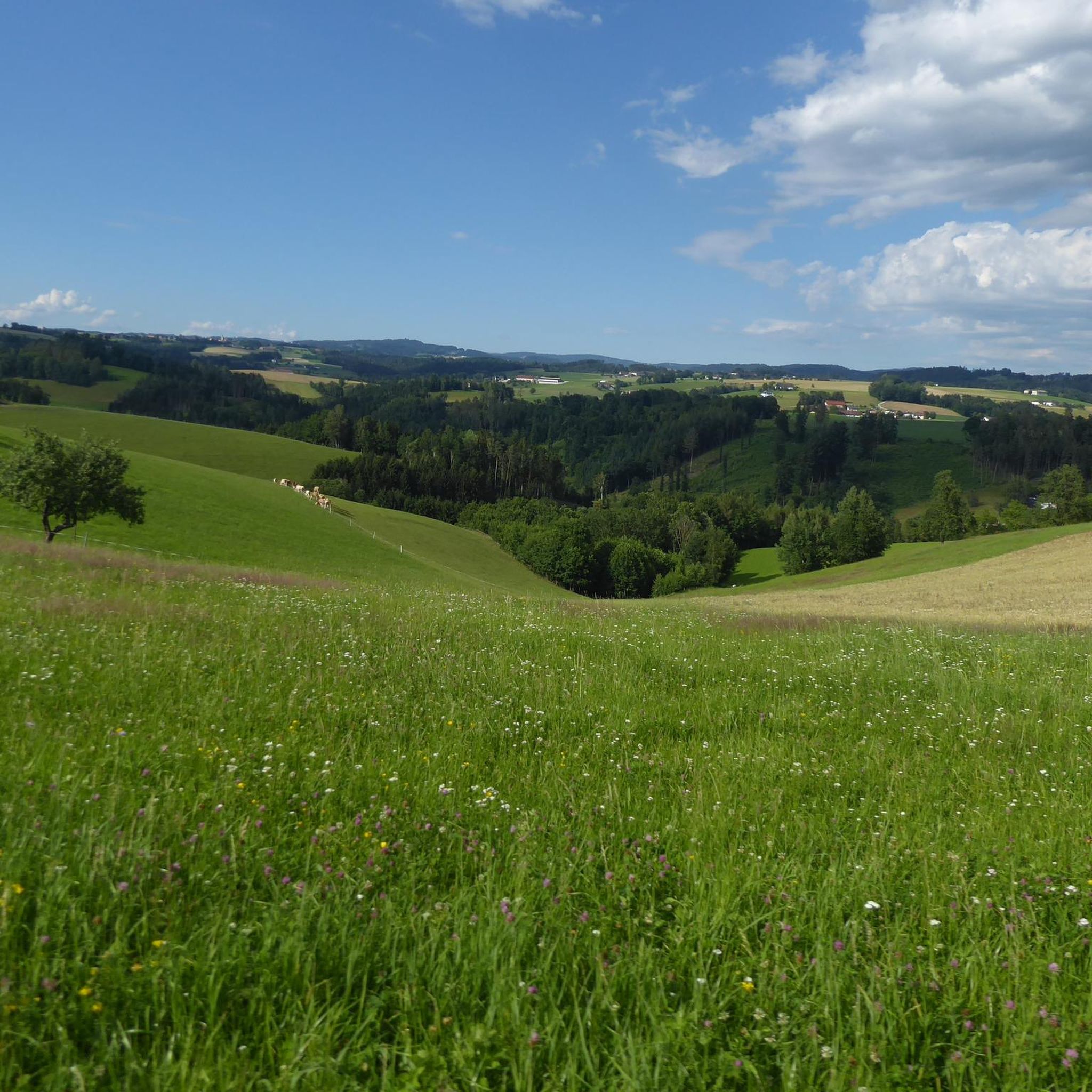
Hiking around Sankt Gotthard im Mühlkreis
Running Trails around Sankt Gotthard im Mühlkreis
Gravel biking around Sankt Gotthard im Mühlkreis

Mountain Hikes around Sankt Gotthard im Mühlkreis
Tips from the Community

Giselawarte was built in 1856 and named after Princess Gisela, a daughter of Emperor Franz Joseph. In 1960, it was increased by two stories.
3
0

Cross at the Gisela Tower
6
0

The view of Linz from the viewing platform on Pöstlingberg is breathtaking! From there, you have a magnificent view of the city and the surrounding landscape.
9
0

The Koglerauer Spitz is a 685 meter high mountain. The view, especially of the Danube, is not that fantastic due to the tall trees. But the path from Pöstlingberg with the Alpine panorama is really great.
9
0

The Pöstlingberg is more than 250 meters above the city and offers a fantastic view over Linz. Several paths lead the runner up, for example the Tower Path/Way of the Cross along Tower 15 or the Way of the Cross up from Petrinum. Either way, the view of the Linz Danube Bend is worth the effort.
2
0
First you pass the Hunger Tower, which you can also visit from the inside.
1
2

Koglerauer Spitz is a 685 meter high mountain in the Mühlviertel in Upper Austria. It lies on the border between the communities of Puchenau and Gramastetten, near the town of Großamberg. It is a popular excursion mountain near the state capital Linz. At its summit there is a summit cross and a rest area with a wonderful view of the Danube and the Eferdinger Basin. There are various hiking trails that lead to the Koglerauer Spitz. One option is to follow the Bleicherbachtal from Ottensheim and then reach the summit via a steep climb. The hike takes about 3 hours there and back and is moderately difficult. Another option is to do the 3 streams - 4 mountains tour from Gramastetten, which leads over the Koglerauer Spitz. This hike is a little longer and more demanding, takes about 5 hours and offers beautiful views of the Mühlviertel landscape. If you like hiking, you can also try the Danube Trail, which runs along the north bank of the Danube and over the Koglerauer Spitz. This long-distance hiking trail is 288 kilometers long and divided into several stages. It offers a varied mix of nature, culture and history along the river.
4
0

Went here again in beautiful autumn weather (October 2023)! Hiked from Ottensheim to Linz/Dornach.
2
1
Frequently Asked Questions
What kind of elevated points and views can I expect around Sankt Gotthard im Mühlkreis?
The region features gentle hills and picturesque river valleys, offering elevated points for scenic views rather than towering alpine peaks. You can find beautiful vistas of the Mühlviertel's rolling landscape, traditional farms, and river valleys. On clear days, some viewpoints even extend to the Alps.
What are some of the most popular elevated spots or viewpoints to visit?
Among the most popular spots are Koglerauer Spitz, a 685-meter high summit offering a view close to the city. Another favorite is the View of Linz from the Euphemia Viewing Platform (Pöstlingberg), which provides expansive views of Linz and the Danube. The Gisela Tower and Gisela Cross on Lichtenberg also offers elevated views.
Are there any historical sites or landmarks on these elevated points?
Yes, the region combines natural beauty with cultural landmarks. For instance, the Waxenberg Castle Ruins are a particularly worth seeing historical site on an elevated position, offering wonderful views over the Mühlviertel. The Pöstlingberg also features a significant religious building and offers great views.
What is the best time of year to visit Sankt Gotthard im Mühlkreis for hiking and views?
The region is generally pleasant for hiking and enjoying views from spring through autumn. While specific seasonal tips for the 'mountains' are not detailed, the gentle terrain and forests make it suitable for outdoor activities in milder weather. Winter hiking is also possible, but check weather conditions as strong winds can occur, as noted by visitors to Koglerauer Spitz.
Are there family-friendly options for exploring the elevated areas?
Yes, several spots are considered family-friendly. The Euphemia Viewing Platform on Pöstlingberg is a great option, especially with the Grottenbahn (dwarf train) for children. The Pöstlingberg itself is also listed as family-friendly, offering views and a basilica.
What kind of hiking trails are available near these elevated points?
The area offers numerous hiking opportunities through its hilly landscape, granite formations, and forests. Trails often traverse gentle hills and river valleys, such as those of the Eschelbach, Kleine Rodl, and Große Rodl rivers. Many routes are rated as easy to moderate. You can find various options, including circular routes.
Can you recommend some easy hiking routes around Sankt Gotthard im Mühlkreis?
For easier hikes, consider routes like the 'Weir path on the Kleine Rodl – Stöckl Chapel loop' or the 'Demonstration Beehive loop'. These routes are generally easy and allow you to explore the characteristic Mühlviertel landscape. More options can be found in the Easy hikes around Sankt Gotthard im Mühlkreis guide.
Are there more challenging hiking or mountain biking routes available?
While the region is known for gentle hills, there are moderate options. For hiking, routes like 'Green Pond – Pesenbachsteig Trail loop' or 'Waxenberg Castle Ruins – St. Veit Church in Mühlkreis loop' offer moderate challenges. For mountain biking, the area around Lichtenberg, featuring the Gisela Tower, is noted as challenging for those with stamina and condition. More details are in the Mountain Hikes around Sankt Gotthard im Mühlkreis guide.
What do visitors enjoy most about the elevated points and views in this region?
Visitors frequently praise the expansive and wonderful views, especially those extending over Linz, the Danube, and even to the Alps on clear days. The combination of natural beauty with historical sites like the Waxenberg Castle Ruins is also highly appreciated. Many enjoy the serene natural experience and the opportunity for a good hike in the fresh air.
Are there places to eat or stay near the viewpoints?
Yes, for example, near the Euphemia Viewing Platform on Pöstlingberg, you can find the Pöstlingberg-Schlössl restaurant and hotel, which is open daily. For other areas, it's advisable to check local listings for cafes, pubs, and accommodation options in the surrounding villages.
What kind of natural features can I observe while exploring the elevated areas?
The landscape is characterized by granite formations, forests, and river valleys. You'll encounter rolling hills, traditional farms, and the scenic beauty of the Kleine Rodl and Große Rodl rivers. While not alpine, the elevated points provide a peaceful natural setting typical of the Mühlviertel.
Is public transport available to reach some of these elevated points?
The Pöstlingberg, which hosts the Euphemia Viewing Platform and the Pöstlingberg basilica, is famously accessible via the Pöstlingbergbahn, a mountain tram from Linz. For other, more remote elevated points, public transport options may be limited, and personal vehicles or local buses might be necessary.
Most popular routes around Sankt Gotthard im Mühlkreis
Most popular attractions around Sankt Gotthard im Mühlkreis

Get inspired with the komoot mobile app


Explore more
See even more amazing summits around Sankt Gotthard im Mühlkreis with these guides:
