The best road cycling routes around Great Falls
4.8
(32)
1,809
riders
106
rides
If you've ever tried to plan road cycling around Great Falls, you know how quickly the sheer number of options can become overwhelming. It's tough to tell which routes are genuinely worth your time and effort, and which are just filler. That's where we come in. Our komoot community has mapped, ridden, and reviewed countless miles here, and we've distilled that collective experience into a curated shortlist of the best road cycling routes around Great Falls, saving you all the…
Last updated: June 9, 2026
5.0
(6)
39
riders
41.6km
01:52
310m
310m
Moderate road ride. Good fitness required. Mostly well-paved surfaces and easy to ride.
5.0
(1)
41
riders
93.6km
04:26
750m
750m
Moderate road ride. Good fitness required. Mostly well-paved surfaces and easy to ride.

5.0
(1)
37
riders
53.8km
02:42
400m
400m
Moderate road ride. Good fitness required. Mostly well-paved surfaces and easy to ride.
22
riders
Easy road ride. Great for any fitness level. Mostly well-paved surfaces and easy to ride.
9
riders
52.1km
02:25
360m
360m
Moderate road ride. Good fitness required. Mostly well-paved surfaces and easy to ride.
Get access to more routes and recommendations from other explorers.
Already have an account?
Our route recommendations are based on thousands of hikes, rides, and runs completed by other people on komoot.
Start today with a free account
Your next adventure awaits.
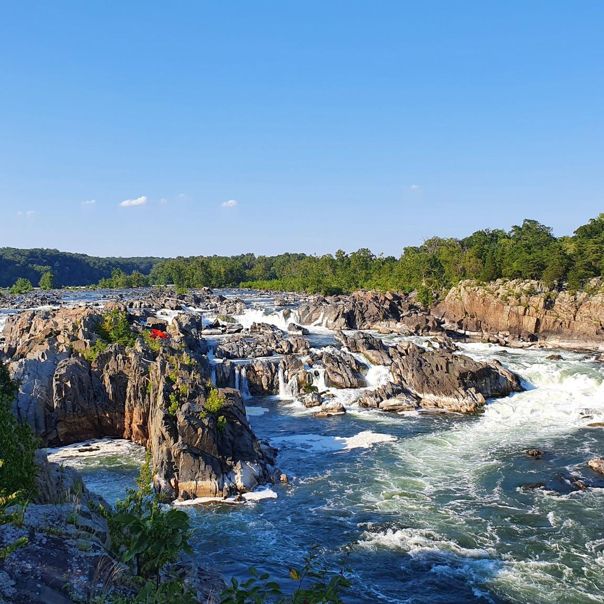
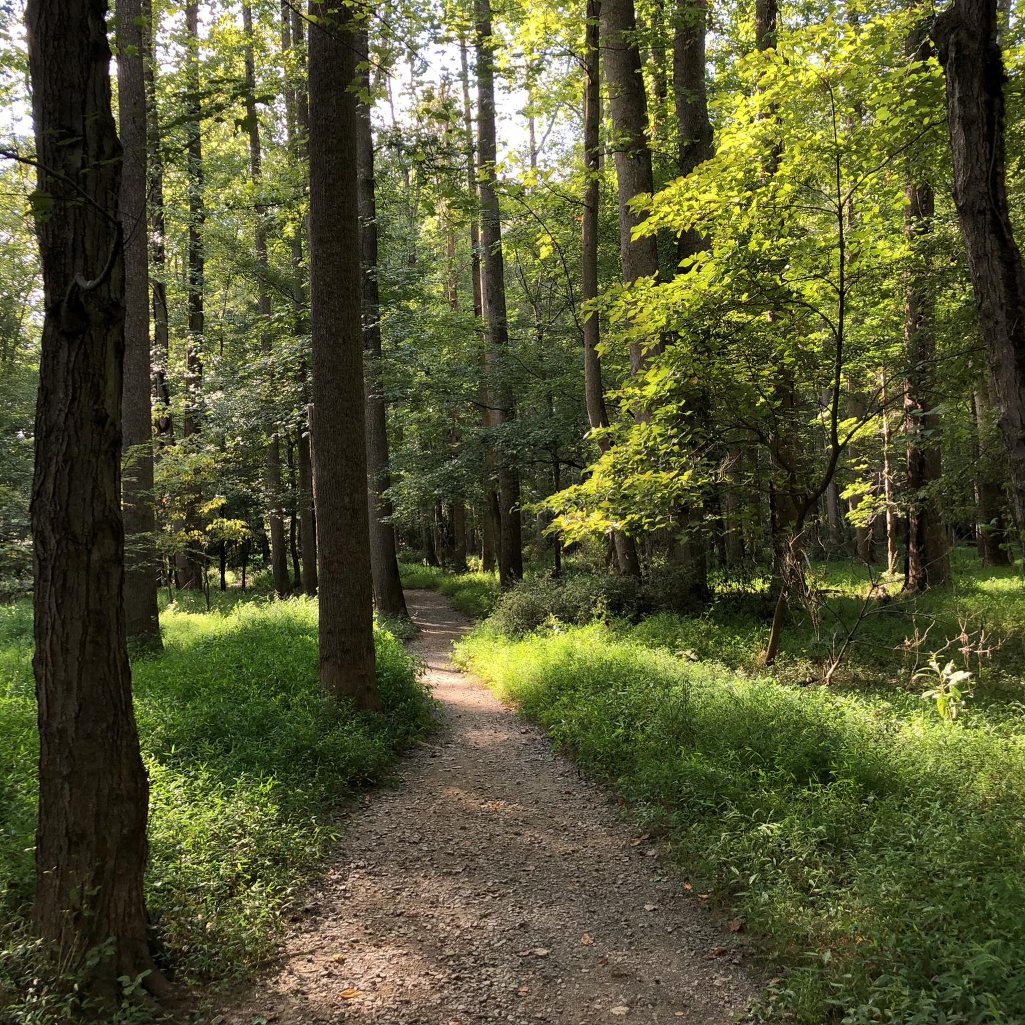
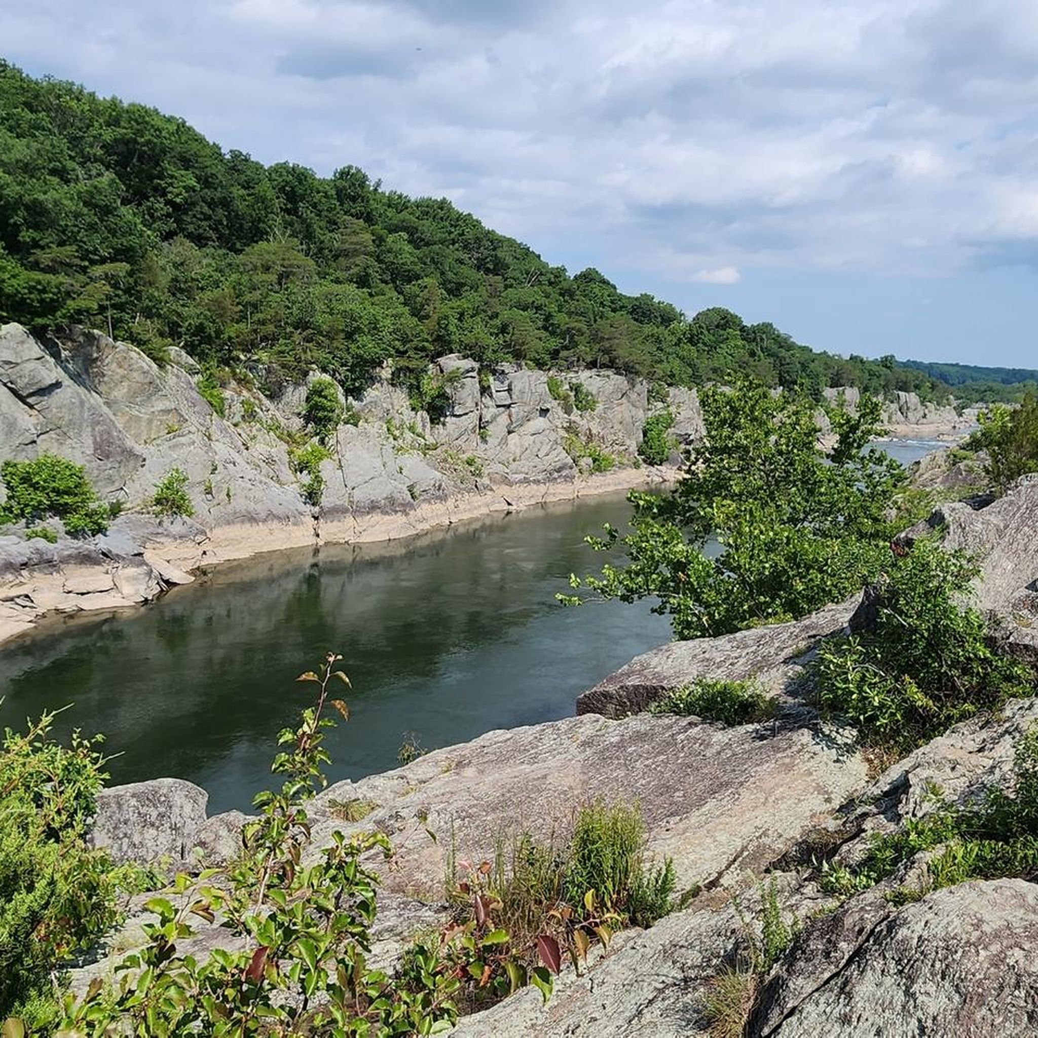
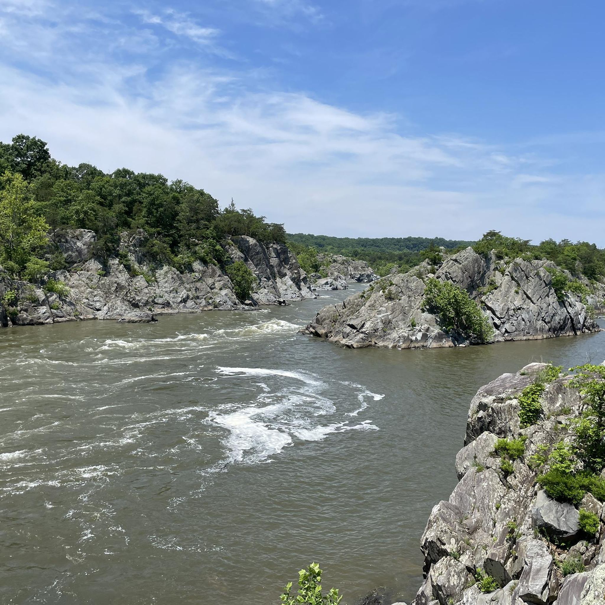

Tips from the Community

Great place to stop during your ride, or just make it a destination! Great food, coffee and local produce.
0
0


Great cycle shop with coffee, beer, snacks, energy bars,restrooms and super helpful staff. They have bike pumps available as well as a fully functioning bike servicing shop.
0
0

Montevideo Road is a gravel road that is not necessarily ideal for a road cycling tour, but it can work as a quiet link between neighborhoods or a detour if you’re on a bike with wider tires. Expect some loose gravel and light traffic, with a mix of wooded and residential surroundings.
0
0
This water fountain at Sugarloaf Mountain is a lifesaver for thirsty cyclists after the mountain climbs. Take advantage of the stop to refill your bottles.
0
0
Darby Store Cultural Park sits at a historic crossroads in Beallsville. Built in 1910, this old general store served local farmers and neighbors for over 50 years, even housing the post office in the 1920s. It’s one of the few remaining rural stores from that era in Montgomery County—worth a quick stop if you’re riding by.
0
0
Old Seneca Schoolhouse is a small 1800s school building tucked near the trails in Seneca Creek. It’s a cool little stop if you’re riding or hiking nearby—feels like stepping back in time for a minute. Worth a quick look and photo.
0
0
Frequently Asked Questions
How many road cycling routes are available around Great Falls?
There are over 90 road cycling routes around Great Falls, offering a wide range of experiences from easy rides to more challenging ascents. The komoot community has explored these diverse routes over 2700 times.
Are there road cycling routes suitable for beginners or families in Great Falls?
Yes, Great Falls offers several easier routes. The River's Edge Trail is particularly family-friendly, offering paved paths along the Missouri River with scenic views and light traffic. For a flatter, shorter road route, the Ulm (15 miles out and back) option provides views of the Missouri River and Cascade Butte.
What natural features and landmarks can I expect to see while road cycling around Great Falls?
Road cycling routes in Great Falls often feature stunning views of the Missouri River, its dramatic waterfalls (like Black Eagle Falls, Rainbow Falls, and the Great Falls), and expansive prairies. You can also pass by Great Falls Overlook, or explore areas near Great Falls Park on the C&O Trail. Distant mountain ranges like the Highwood Mountains are visible from many routes.
Are there any road cycling routes that offer significant elevation gain for a challenging workout?
Yes, for a more challenging ride, consider the Montevideo Road – Old Seneca Quarry Stone Mill loop from Seneca. This 57.6-mile route features a significant elevation gain of over 2400 feet (744 meters). The Eden route (42 miles out and back) also includes challenging hills reaching the foothills of the Little Belt Mountains.
What is the best time of year for road cycling in Great Falls?
Great Falls' local climate, influenced by Chinook winds, can allow for earlier and later riding opportunities compared to other parts of Montana. Generally, spring through fall offers the most pleasant conditions, with summer being ideal for longer days. Always check local weather conditions before heading out.
Are there any loop routes available for road cyclists?
Yes, many routes around Great Falls are designed as loops. A popular moderate option is the Montevideo Road – Seneca Schoolhouse loop from Seneca, which covers 25.7 miles. Another loop, the Lock 25 Large Maple – Seneca Schoolhouse loop from Seneca, is 34.7 miles long and takes about 3 hours to complete.
Where can I find parking for road cycling routes in Great Falls?
Many routes, especially those connected to the River's Edge Trail, offer accessible parking. Gibson Park is a prominent stop on the River's Edge Trail and a popular starting point with parking. For specific routes, it's advisable to check the route details on komoot for designated parking areas or trailheads.
What do other road cyclists enjoy most about road cycling in Great Falls?
The road cycling routes in Great Falls are highly rated by the komoot community, with an average score of 4.7 stars from over 40 reviews. Cyclists often praise the diverse landscapes, scenic views of the Missouri River and distant mountains, and the variety of terrain that caters to different skill levels.
Are there any routes that pass by lakes or water bodies other than the Missouri River?
Yes, the Benton Lake (28 miles out and back) route offers views of the lake and leads to the noted Benton Lake National Wildlife Refuge, which is a great spot for birdwatching. You can also find highlights like Widewater near some routes.
Can I find cafes or places to eat near the road cycling routes?
The River's Edge Trail connects to Great Falls' historic downtown, which offers various restaurants and cafes. While specific cafes aren't listed directly on all routes, planning your ride to pass through or near the downtown area or other small towns like Belt (via the Highwood Road to Belt route) will provide opportunities for refreshments.
Are there any routes that explore historic areas or unique districts?
The Stockett route (43 miles out and back) heads east and winds through a historic coal-mining district after a 700-foot climb up Stockett Hill. Additionally, the River's Edge Trail connects to the city's historic downtown, allowing cyclists to explore the urban landscape and its history.
What kind of terrain can I expect on the road cycling routes around Great Falls?
The terrain around Great Falls is diverse, featuring a mix of flat sections along river trails, rolling hills, and more challenging climbs into the foothills of surrounding mountains. You'll encounter well-paved roads, lightly traveled rural residential roads, and some routes with stimulating hills, offering options for various preferences.
Most popular attractions around Great Falls

Get inspired with the komoot mobile app


Explore more
Browse the best Road cycling routes in other regions.
