The best cycling routes around Underhill Flats
5.0
(1)
35
riders
6
rides
Touring cycling routes around Underhill Flats offer diverse landscapes for cyclists. The region is characterized by its location in a valley where The Creek flows into the Browns River, with Mount Mansfield, Vermont's highest peak, forming a prominent backdrop. Cyclists can explore a mix of paved and unpaved segments through forests, meadows, and along river valleys. The area provides options for various fitness levels, from moderate loops to more challenging routes with significant elevation gains.
Best touring cycling routes around Underhill Flats
- The most popular touring cycling route is Brown's River Covered Bridge – Brookside Cemetery loop from Underhill, a 29.2 miles (47.1 km) trail that takes 3 hours 41 minutes to complete, featuring scenic views along the Browns River.
- Another top favourite among local touring cyclists is Grist Mill Bridge – Union Bank Cambridge loop from Underhill, a difficult 30.5 miles (49.2 km) path. This route includes substantial elevation gain through varied terrain, connecting Underhill with Cambridge.
- Local touring cyclists also love the Bike loop from Underhill, a 28.6 miles (46.0 km) trail leading through the local valleys and past forested areas, often completed in about 2 hours 53 minutes.
- Touring cycling around Underhill Flats is defined by river valleys, forested areas, and views of Mount Mansfield. The network offers options for different ability levels, from moderate loops to routes with over 2,000 feet of elevation gain.
- The guide includes highly-rated routes that showcase the best of the region's landscape. More than 30 touring cyclists have used komoot to explore Underhill Flats's varied terrain.
Last updated: June 28, 2026
5.0
(1)
7
riders
47.1km
03:41
410m
410m
Moderate bike ride. Good fitness required. Mostly paved surfaces. Suitable for all skill levels.
3
riders
46.0km
02:54
520m
520m
Hard bike ride. Very good fitness required. Mostly paved surfaces. Suitable for all skill levels.

Sign up for free
5
riders
27.1km
02:24
410m
410m
Moderate bike ride. Good fitness required. Mostly paved surfaces. Suitable for all skill levels.
6
riders
33.0km
02:37
310m
310m
Moderate bike ride. Good fitness required. Mostly paved surfaces. Suitable for all skill levels.
4
riders
49.2km
04:04
660m
660m
Hard bike ride. Very good fitness required. Mostly paved surfaces. Suitable for all skill levels.
Our route recommendations are based on thousands of hikes, rides, and runs completed by other people on komoot.
Start today with a free account
Your next adventure awaits.
Login or Signup



Tips from the Community

Great way to get up the Notch and avoid most of Route 107
0
0
Great country store just across the Westford Green. Decent sandwiches and cold drinks!
0
0

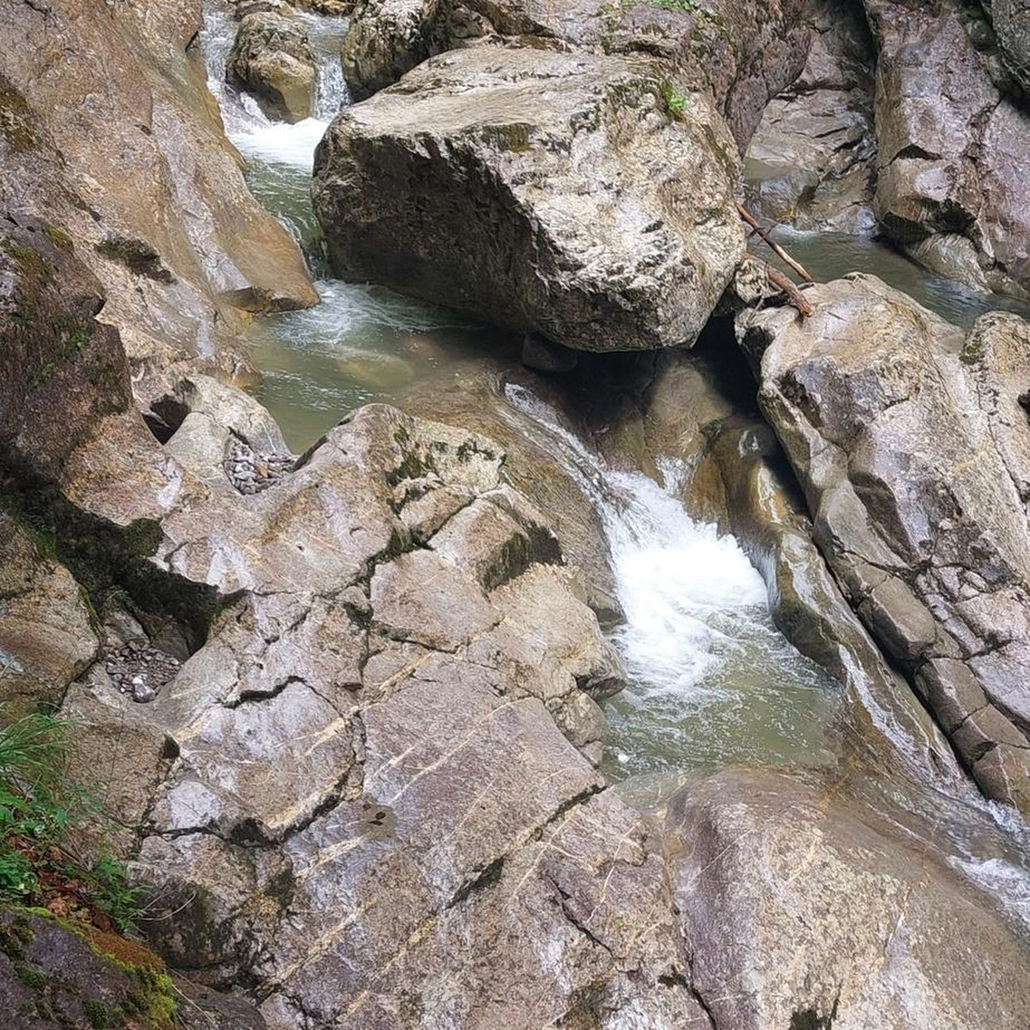
The Grist Mill Covered Bridge, which is also known as the Scott Covered Bridge, the Bryant Covered Bridge, or the Canyon Covered Bridge, spans the Brewster River near the beautiful Brewster River Gorge and falls. This bridge is one of a small number of surviving Burr arch truss bridges in the state and was built in the 19th century. In 1974 it was listed on the National Register of Historic Places. There is a nice overlook for the Brewster Falls not far from here, down a short trail if you wanted to leave your bikes and go on a short walk.
0
0
The West Farm Trail is located within the Brewster Uplands and loops through the woods northeast of the gorge, past farmlands that are still in use. There are several trails that connect to The Alden Bryan Trail, which parallels the river, and the Brewster Pond Loop, allowing you to lengthen your hike if you choose. Please note that two farms and associated fields on the property are not open to public recreation; they are working farms so please be respectful as you hike around here.
0
0
From the main parking area, you must walk back on the road and through the Grist Mill Covered Bridge. Also known as the Scott Covered Bridge, the Bryant Covered Bridge,or the Canyon Covered Bridge, this bridge is one of a small number of surviving Burr arch truss bridges in the state and was built in the 19th century. In 1974 it was listed on the National Register of Historic Places.
0
0

Historical covered bridge that was built in 1938. Currently, there is a concrete bridge to cross Brown's River, but the covered bridge has been preserved for visitors to see in its original form.
1
0
Frequently Asked Questions
How many touring cycling routes are available in Underhill Flats?
There are 6 touring cycling routes documented in Underhill Flats on komoot. These routes offer a variety of experiences, from moderate to difficult, catering to different fitness levels.
What are the typical difficulty levels for touring cycling routes in Underhill Flats?
The touring cycling routes in Underhill Flats range from moderate to difficult. You'll find 3 moderate routes and 3 difficult routes, offering options for various skill and endurance levels. For example, the Brown's River Covered Bridge – Brookside Cemetery loop from Underhill is a moderate route, while the Grist Mill Bridge – Union Bank Cambridge loop from Underhill is considered difficult due to substantial elevation gain.
Are there any family-friendly touring cycling routes in the Underhill Flats area?
While specific 'family-friendly' designations aren't provided for these touring routes, the region offers a mix of paved and unpaved segments. Routes with lower elevation gains and shorter distances, such as the moderate Brown's River Covered Bridge loop from Essex, might be more suitable for families. The area's diverse trails and roads allow for scenic rides, and flat pedals can be used for comfort, making it easier to dismount and explore.
Can I bring my dog on touring cycling routes around Underhill Flats?
The general policy for bringing dogs on cycling routes can vary by specific trail or park. While the region is rich in outdoor activities, including hiking trails in areas like Underhill State Park, it's always best to check local regulations for each specific route or park you plan to visit with your dog. Some areas, like conserved meadows, might have specific rules regarding pets.
What is the best time of year for touring cycling in Underhill Flats?
Underhill Flats offers cycling opportunities across different seasons. Spring and fall are often ideal for comfortable temperatures and scenic views, especially with the vibrant foliage in autumn. The region's diverse landscapes, from river valleys to forested areas, can be enjoyed throughout the warmer months. During winter, some areas are used for cross-country skiing, so cycling might be limited to plowed roads.
What notable landmarks or natural features can I see along the cycling routes?
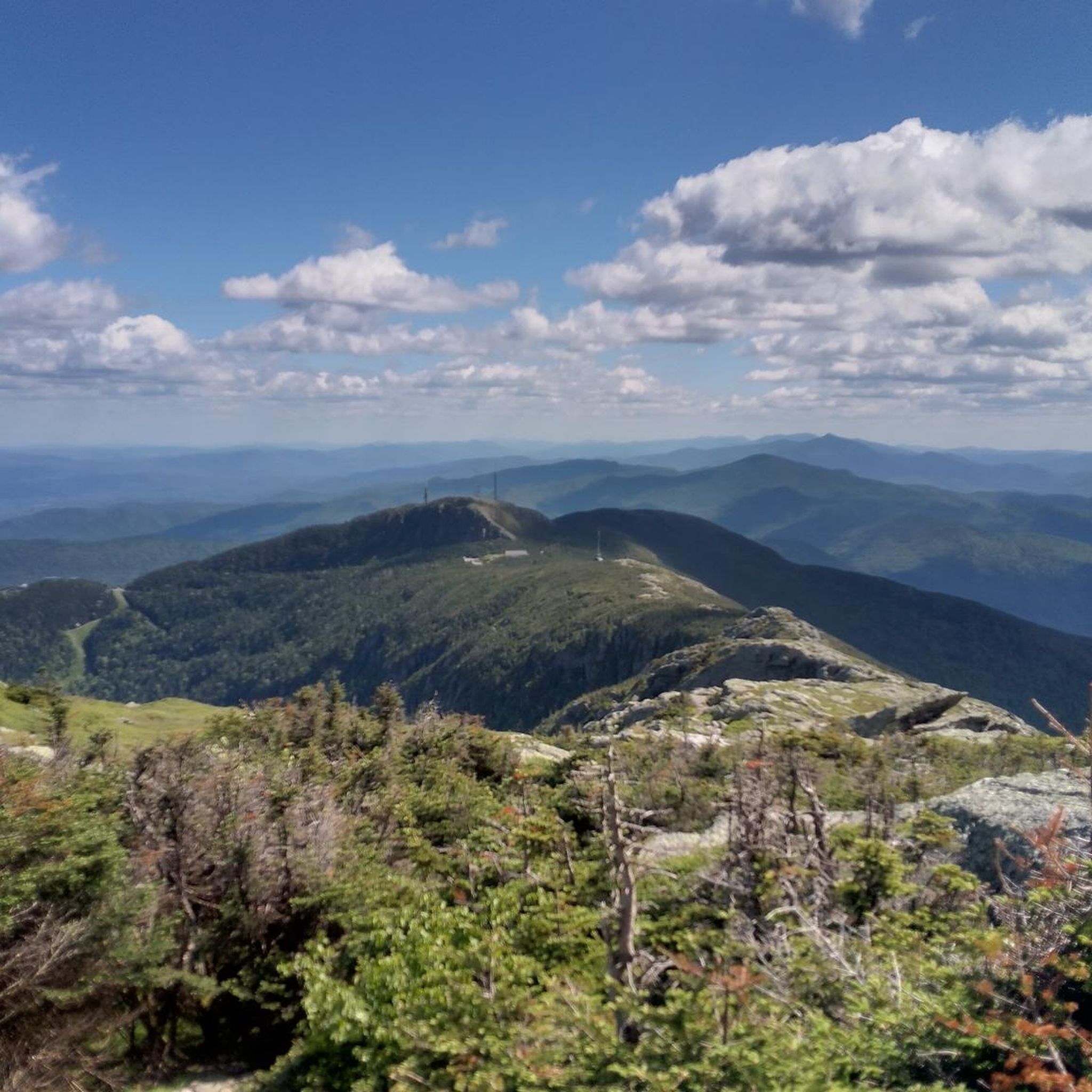
Cycling routes in Underhill Flats often provide views of Mount Mansfield, Vermont's highest peak. You might also encounter the Browns River, which flows through the area, and various forested sections and meadows. Nearby attractions include the Mount Mansfield Summit, Cantilever Rock, and Mansfield's Lower Lip, which offer unique viewpoints and natural beauty.
Where can I find parking for touring cycling routes in Underhill Flats?
Parking availability for touring cycling routes in Underhill Flats can vary. Many routes start from towns like Underhill or Essex, where public parking might be available. For routes accessing areas like Underhill State Park, designated parking lots are typically provided. It's advisable to check specific starting points for parking information before your ride.
Are there any circular touring cycling routes available in Underhill Flats?
Yes, many of the touring cycling routes in Underhill Flats are designed as loops. Examples include the popular Brown's River Covered Bridge – Brookside Cemetery loop from Underhill and the Bike loop from Underhill, which takes you through local valleys and forested areas.
What do other cyclists say about touring cycling in Underhill Flats?
The touring cycling experience in Underhill Flats is highly rated by the komoot community, with an average score of 5.0 stars. Cyclists often praise the diverse landscapes, including river valleys and views of Mount Mansfield, and appreciate the options for various fitness levels. The area's mix of paved and unpaved segments provides engaging rides for many.
Are there options for more challenging touring cycling routes with significant elevation gain?
Absolutely. Underhill Flats offers challenging touring cycling routes with substantial elevation gain. For instance, the Grist Mill Bridge – Union Bank Cambridge loop from Underhill is a difficult 30.5-mile path with over 660 meters (2,165 feet) of elevation gain, connecting Underhill with Cambridge through varied terrain. Another challenging option is the Bike loop from Underhill, which features over 515 meters (1,690 feet) of ascent.
Can I access touring cycling routes in Underhill Flats using public transport?
Underhill Flats is situated along Vermont Route 15, which connects to other towns like Cambridge and Jericho. While specific public transport options directly to trailheads might be limited, this route offers potential for extended touring routes and connections. For detailed public transport information, it's best to check local transit schedules for Chittenden County.
Are there any cafes or places to stop for refreshments along the touring cycling routes?
Underhill Flats and the surrounding towns like Underhill and Jericho offer local amenities. While specific cafes directly on every route aren't listed, you can typically find places for refreshments in the town centers or nearby villages. Planning your route to pass through these areas will allow for convenient stops.
Are permits required for cycling on any trails in Underhill Flats?
Generally, permits are not required for cycling on public roads and designated bike trails in the Underhill Flats area. However, if you plan to cycle within specific state parks or private lands, it's always wise to check with the respective authorities (e.g., Underhill State Park) for any specific regulations or fees that might apply.
What kind of landscapes can I expect to see while cycling in Underhill Flats?
While touring cycling in Underhill Flats, you can expect a diverse range of landscapes. The region is characterized by its location in a valley where The Creek flows into the Browns River, with prominent views of Mount Mansfield. Routes often traverse a mix of paved and unpaved segments, winding through forests, open meadows like Tomasi Meadow, and along picturesque river valleys.
Most popular attractions around Underhill Flats

Get inspired with the komoot mobile app


Explore more
Browse the best Cycling routes in other regions.
