The best walks and hikes around Farschweiler
4.5
(11363)
40,825
hikers
22
hikes
Hiking around Farschweiler offers a network of trails through the varied landscape of the Trier-Saarburg district. The region is characterized by rolling hills and woodlands, providing a scenic natural environment. Routes often incorporate historical sites and natural features like the Walddistel occurrence. Elevation gains are generally moderate, making many paths accessible for various fitness levels.
Best hiking trails around Farschweiler
- The most popular hiking route is Hiking loop from Landkreis Trier-Saarburg, a 2.0 miles (3.2 km) trail that takes…
Last updated: August 23, 2026
5.0
(10)
20
hikers
3.16km
00:51
40m
30m
Easy hike. Great for any fitness level. Easily-accessible paths. Suitable for all skill levels.
5.0
(5)
7
hikers
Easy hike. Great for any fitness level. Easily-accessible paths. Suitable for all skill levels.

Sign up for free
2
hikers
Moderate hike. Good fitness required. Easily-accessible paths. Suitable for all skill levels.
5.0
(2)
8
hikers
Easy hike. Great for any fitness level. Easily-accessible paths. Suitable for all skill levels.
4.0
(2)
5
hikers
Moderate hike. Good fitness required. Easily-accessible paths. Suitable for all skill levels.
Get access to more routes and recommendations from other explorers.
Sign up for free
Already have an account?
Our route recommendations are based on thousands of hikes, rides, and runs completed by other people on komoot.
Start today with a free account
Your next adventure awaits.
Login or Signup

Tips from the Community

📸 Tip: Ideal for a peaceful nature photo or a selfie while lying down with a wide view in the background.
0
1
📸 Tip: If you like, take a quiet video or a sound recording with you – pure nature.
0
1
📸 Tip: Ideal for an action photo or a short video – especially if you are out and about with children or friends.
0
1
📸 Tip: The play of light is perfect for an atmospheric photo or a short nature video.
0
1
At this spot, sunlight breaks through the green canopy – a quiet, almost magical moment that bathes the forest in golden light. Especially in the morning, a peaceful atmosphere arises here, accompanied by the gentle rustling of leaves and the chirping of birds. I consciously savored this moment – one of those moments you go hiking for.
0
1
This bench is located a little off the beaten track in a particularly green, quiet corner of the forest. Here you can simply unwind, enjoy the fresh forest air, and listen to the birdsong – far from everyday life and traffic noise. I lingered here for a moment – no people, just nature. One of those places you can understand without words. A nice contrast to the history-rich stops on the tour.
0
1
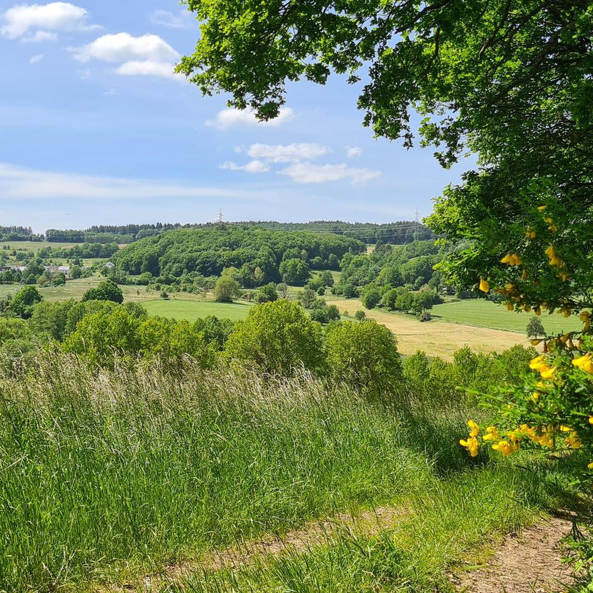
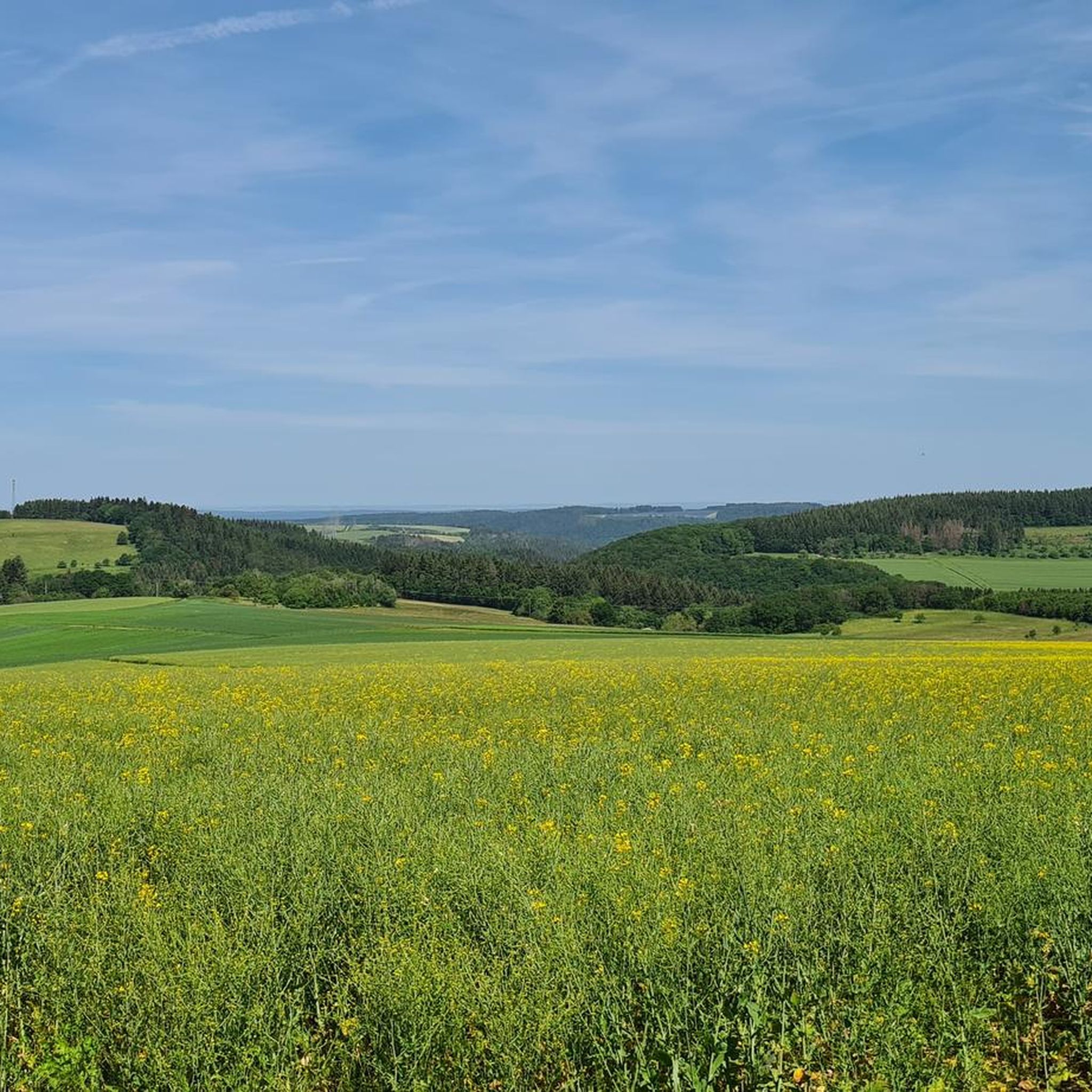
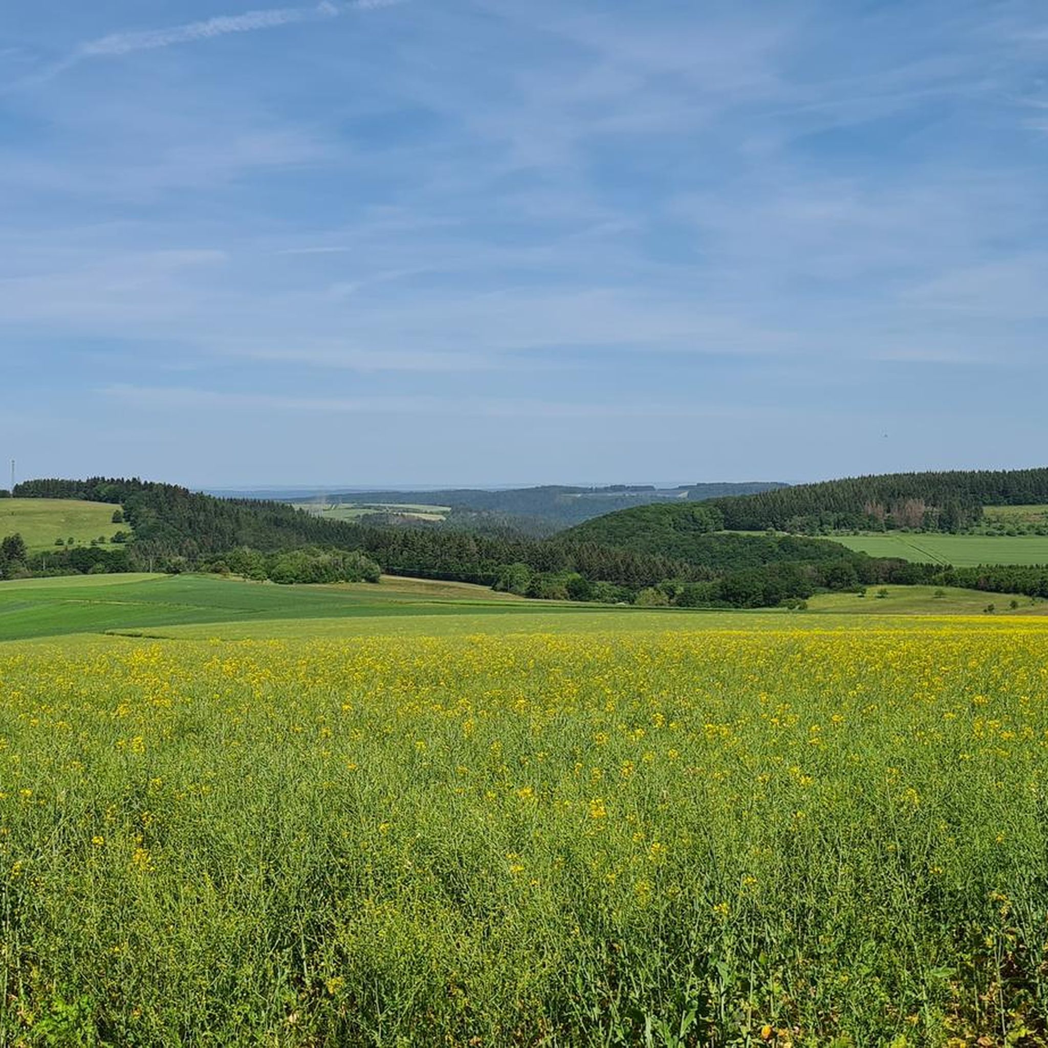
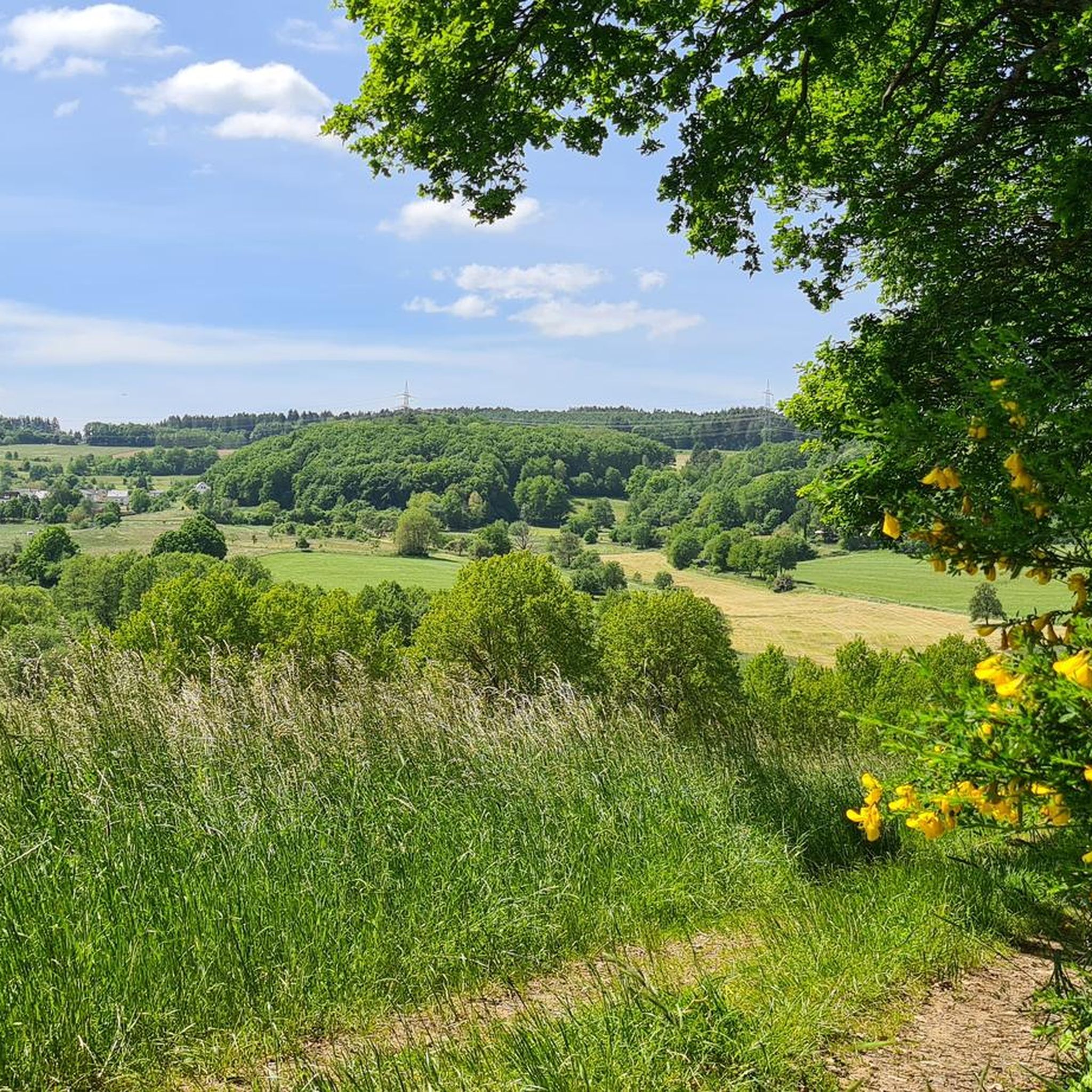
This beautifully situated bench invites you to linger – with an unobstructed view of the surrounding fields. A perfect place for a short break, breakfast, or simply to take a deep breath and enjoy the peace and quiet. I paused here for a moment – the view, the early light, and the tranquility were just what I needed. It might get a bit busier here later in the day, but in the morning I was completely alone.
0
1
At this lovingly designed station, you can compare your own jumping ability with typical forest creatures. On a ground marker, you can see how far a wood mouse, a hare, a fox, and a squirrel can jump. A little fun for in between – and a great place to stop for a moment and get active yourself. Of course, I tried it out – and found out: The hare remains unbeaten. 😉
0
1
Frequently Asked Questions
How many hiking trails are available around Farschweiler?
Farschweiler offers a diverse network of over 20 hiking trails. These routes cater to various preferences, with an even split between easy and moderate difficulty levels.
What are the typical durations for hikes in Farschweiler?
Hikes in Farschweiler vary in length, from shorter walks taking less than an hour to longer routes that can last over three hours. For example, the Hiking loop from Landkreis Trier-Saarburg is an easy 2.0-mile (3.2 km) trail that takes about 50 minutes, while the moderate Hotelebbert Memorial (2151 m) loop from Landkreis Trier-Saarburg covers 7.4 miles (12.0 km) and typically takes around 3 hours 20 minutes.
Are there family-friendly hiking options in Farschweiler?
Yes, Farschweiler has several easy trails suitable for families. Many routes feature gentle terrain through woodlands and open sections. The Menhir of Farschweiler – Kühonner Celtic Burial Mounds loop from Landkreis Trier-Saarburg is an easy 2.9-mile (4.7 km) path that combines natural beauty with historical interest, perfect for a family outing.
Can I bring my dog on hikes in Farschweiler?
Generally, Farschweiler's natural trails through rolling hills and woodlands are suitable for dogs. It's always recommended to keep your dog on a leash, especially in areas with wildlife or near livestock, and to check local regulations for specific trails.
What kind of historical sites can I explore while hiking in Farschweiler?
Farschweiler's trails often incorporate historical points of interest. You can discover ancient burial mounds and a Roman well shaft on routes like the Kühonner Celtic Burial Mounds – Roman Well Shaft Farschweiler loop from Landkreis Trier-Saarburg. Additionally, the region is home to various castles and ruins, such as Dhronecken Castle and Sommerau Castle Ruins, which can be explored nearby.
Are there any circular walks available in Farschweiler?
Many of the hiking routes in Farschweiler are designed as circular loops, offering convenient starting and ending points. This allows hikers to experience varied scenery without retracing their steps. An example is the Kühonner Celtic Burial Mounds – Roman Well Shaft Farschweiler loop from Landkreis Trier-Saarburg, an easy 1.8-mile (2.9 km) circular trail.
When is the best time of year to hike in Farschweiler?
The rolling hills and woodlands of Farschweiler are enjoyable throughout much of the year. Spring and autumn offer pleasant temperatures and beautiful foliage, while summer provides warmer weather for longer days. Even winter can be appealing for quiet walks, though some paths might be muddy or icy.
What do other hikers enjoy most about Farschweiler's trails?
The komoot community highly rates Farschweiler's trails, with an average score of 4.5 stars from over 2,400 reviews. Hikers often praise the varied terrain, the combination of natural scenery with historical landmarks, and the well-maintained paths that make the region accessible for different fitness levels.
Are there places to stop for refreshments or a break along the trails?
While specific pub stops directly on every trail are not guaranteed, the region around Farschweiler does offer various huts and rest areas. You can find places like the Rest area at the Finnenbahn or the Huxlay Hut, which provide spots for a break or a snack.
Are there any scenic viewpoints or natural monuments to discover?
Yes, Farschweiler and its surroundings offer several scenic spots. You can find viewpoints like the Thiels Burg Observation Tower or enjoy views of the Moselle from the Huxlay Hut. Natural monuments such as the Longuich sour well and refuge also add to the region's appeal.
Are there challenging hikes with significant elevation gain in Farschweiler?
While Farschweiler is characterized by rolling hills and generally moderate elevation gains, some routes offer more of a challenge. The moderate trails, such as the Hotelebbert Memorial (2151 m) loop from Landkreis Trier-Saarburg, feature over 220 meters of ascent and descent, providing a more strenuous workout compared to the easier paths.
Most popular routes around Farschweiler
Most popular attractions around Farschweiler

Get inspired with the komoot mobile app


Explore more
Browse the best Hikes in other regions.
