The best walks and hikes around Faido
4.7
(290)
1,887
hikers
75
hikes
Hiking around Faido, nestled in the Leventina valley, offers diverse terrain characterized by dramatic granite faces, lush pine forests, and serene rivers. The region features notable natural attractions such as the 43-meter-high Piumogna Waterfall and picturesque alpine lakes like Lago di Carì. Surrounded by mountains such as Pizzo Forno, Faido provides a range of hiking opportunities through forests and alpine pastures.
Best hiking trails around Faido
- The most popular hiking route is Somprei and the lakes of Chièra from Predèlp, a 6.9 miles (11 km) trail that takes 4 hours 37 minutes to complete. This moderate route explores alpine lakes and offers expansive views.
- Another top favourite among local hikers is Mountaineer's Trail, a moderate 4.7 miles (8 km) path. This trail provides a challenging experience with significant elevation gain through varied mountain landscapes.
- Local hikers also love the Strada Bassa and ViaGottardo Loop, a 5.1 miles (8 km) trail leading through the Leventina valley, often completed in about 2 hours 26 minutes.
- Hiking around Faido is defined by the Leventina Valley, Piumogna Waterfall, and alpine lakes, offering a rich tapestry of landscapes. The well-developed network provides options for different ability levels, from easy strolls to challenging alpine routes.
- The routes in Faido are highly rated by the komoot community with an average score of 4.7 stars from more than 200 reviews. More than 1600 hikers have used komoot to explore Faido's varied terrain.
Last updated: October 10, 2026
4.9
(12)
97
hikers
11.1km
04:37
680m
680m
Moderate hike. Good fitness required. Mostly accessible paths. Sure-footedness required.
3.8
(5)
36
hikers
8.21km
02:26
220m
220m
Hike the moderate 5.1-mile Strada Bassa and ViaGottardo Loop, featuring waterfalls, historic sites, and scenic valley views in Val Leventina

4.7
(3)
71
hikers
7.57km
02:35
400m
400m
Hike the moderate 4.7-mile Sentiero del Montanaro loop near Carì, offering alpine views and passing through larch and pine forests.
4.8
(9)
30
hikers
6.17km
02:00
270m
270m
Easy hike. Great for any fitness level. Easily-accessible paths. Suitable for all skill levels.
4.7
(6)
55
hikers
11.3km
04:04
680m
680m
Hike the moderate La Capanna Gana Rossa and Lago di Carì loop, featuring alpine views, a mountain hut, and the scenic Lago di Carì.
Get access to more routes and recommendations from other explorers.
Already have an account?
Our route recommendations are based on thousands of hikes, rides, and runs completed by other people on komoot.
Start today with a free account
Your next adventure awaits.
Popular around Faido
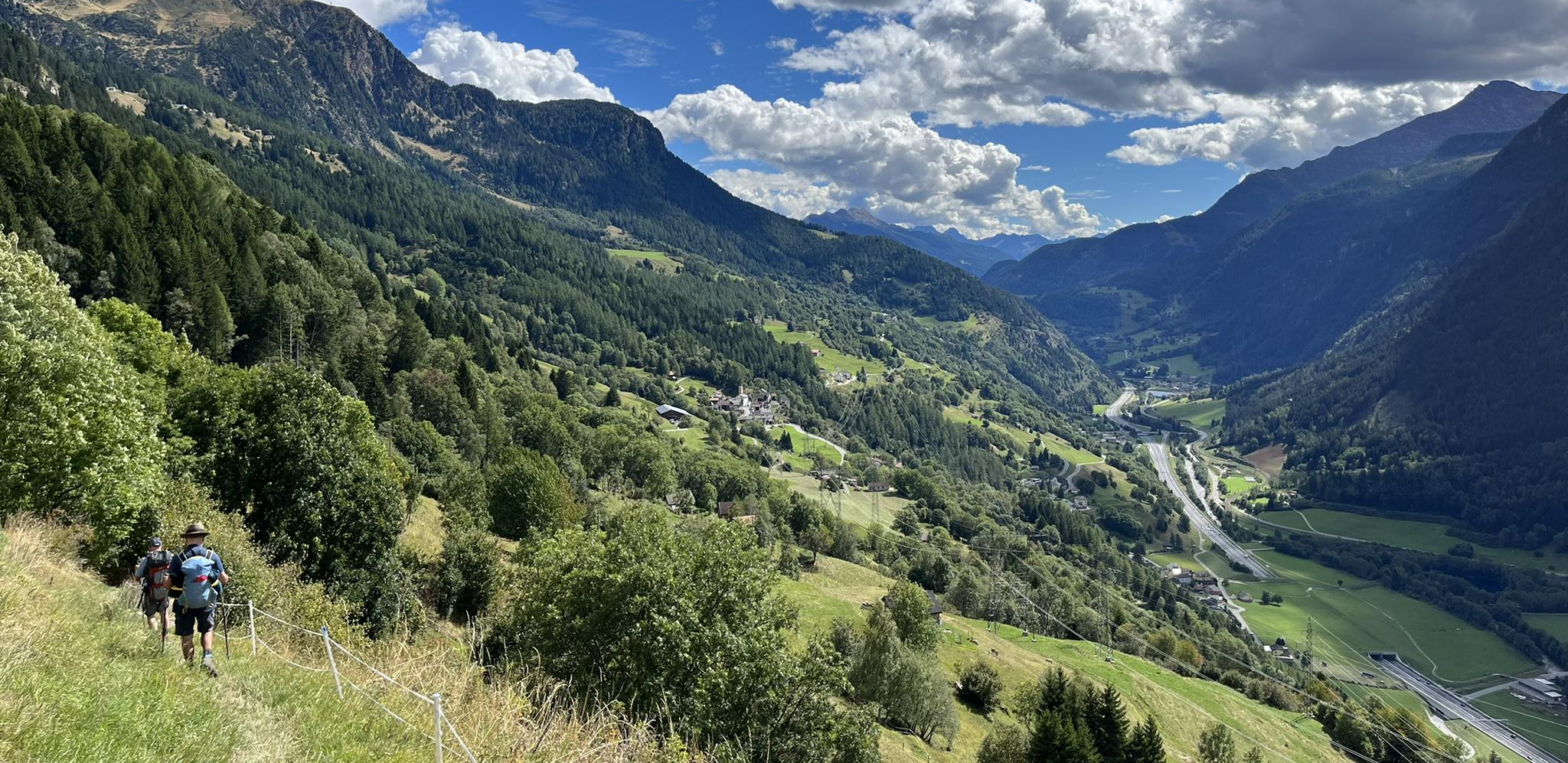
Strada alta – Hiking in the sun terrace of Switzerland
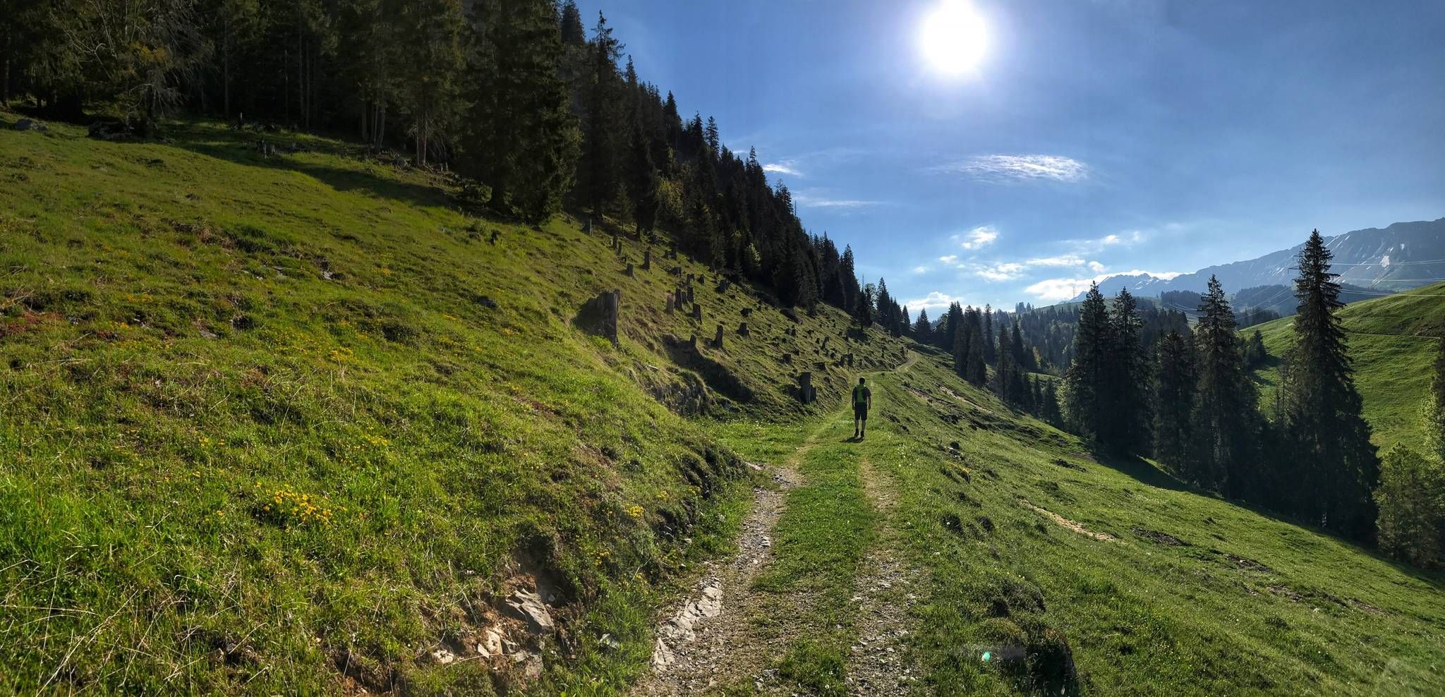
Trans Swiss Trail – Hiking across Switzerland
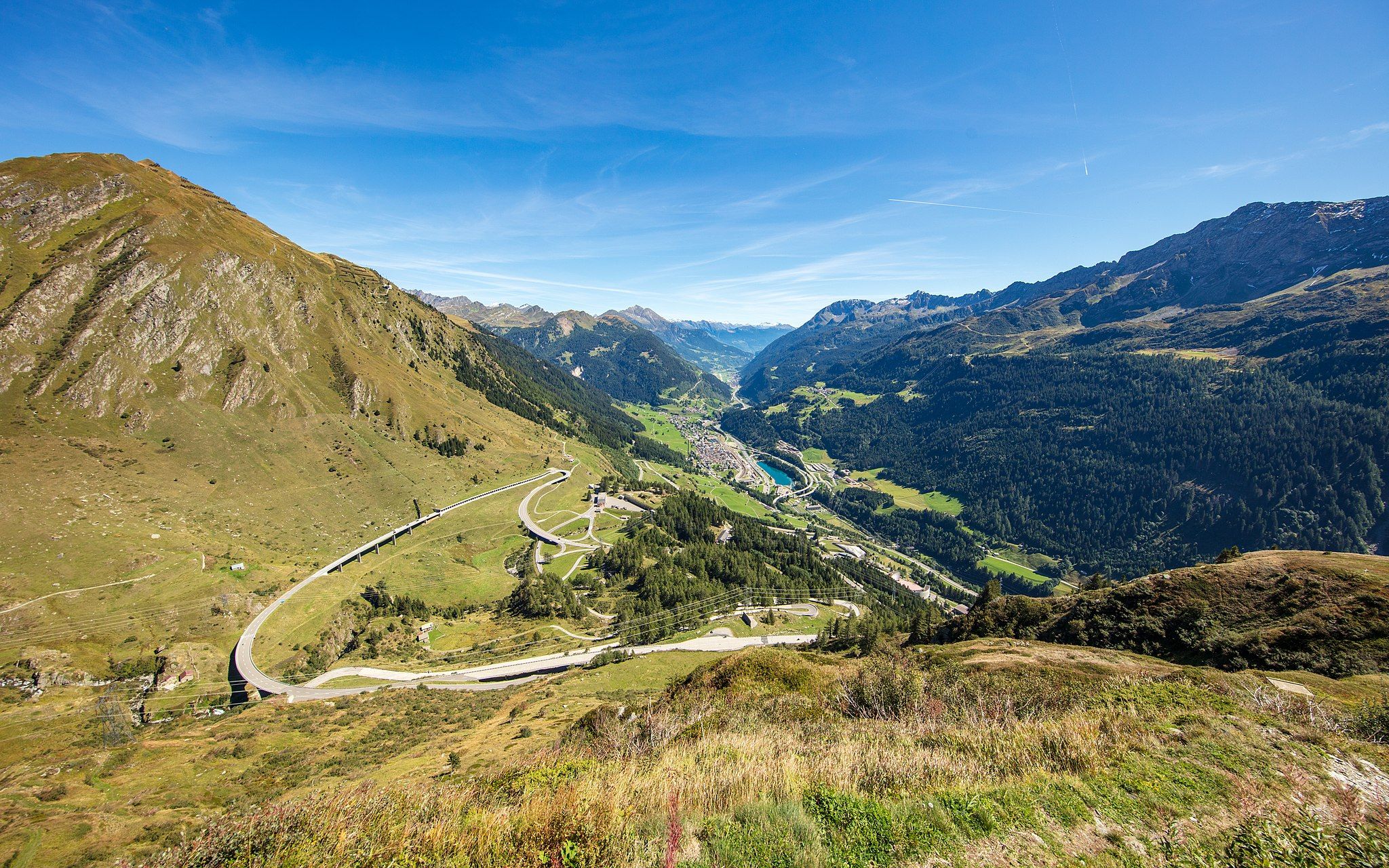
Via Gottardo – Following historic trails
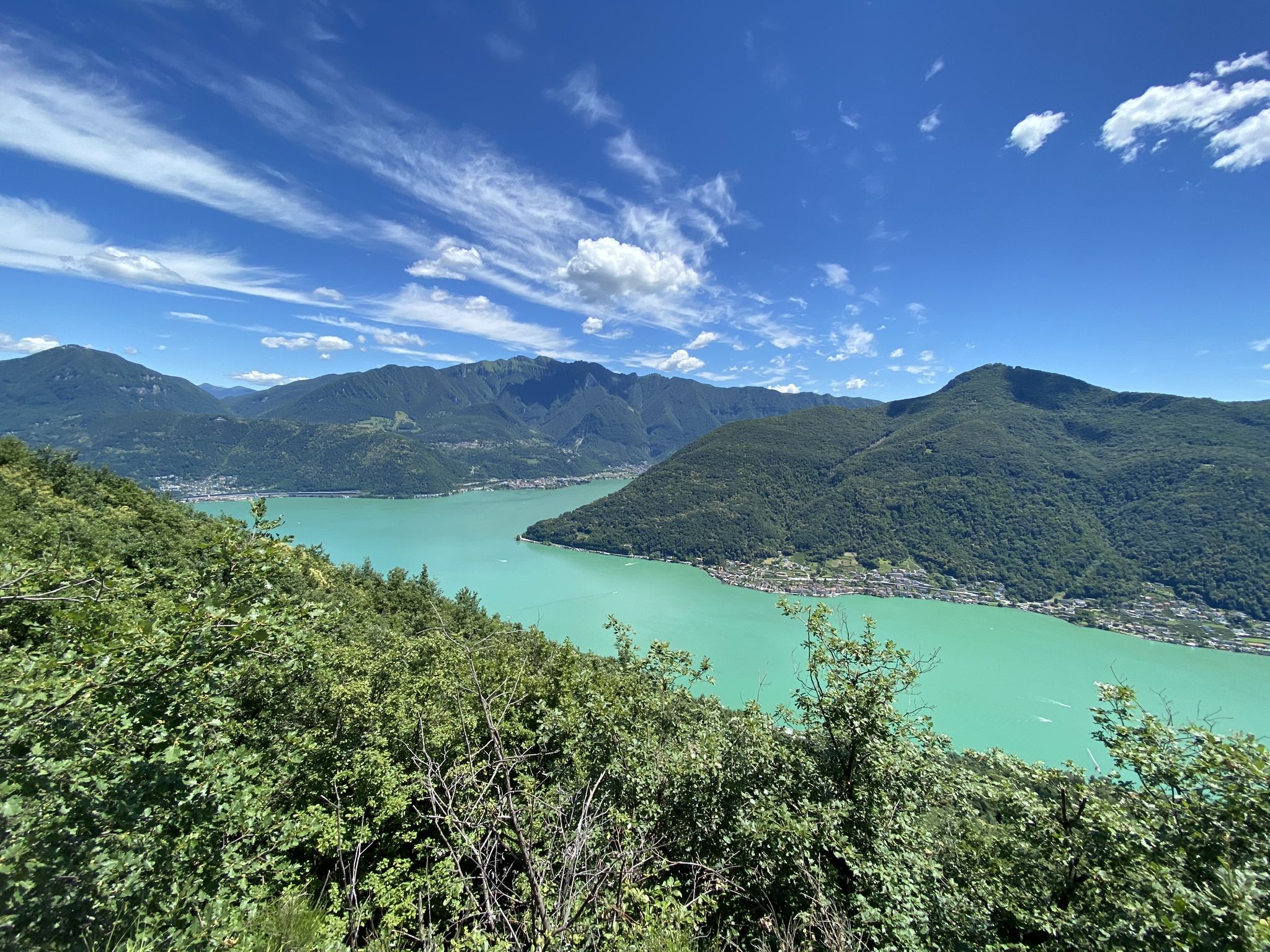
Trails with friends – komoot hiking relay through Ticino in Switzerland
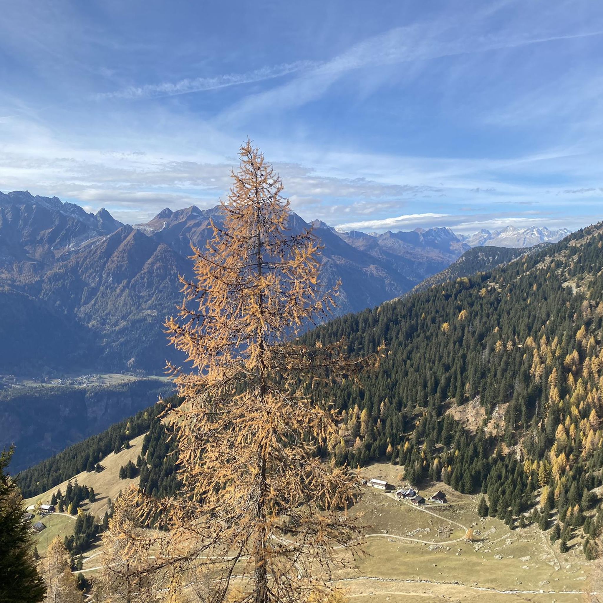
Running Trails around Faido
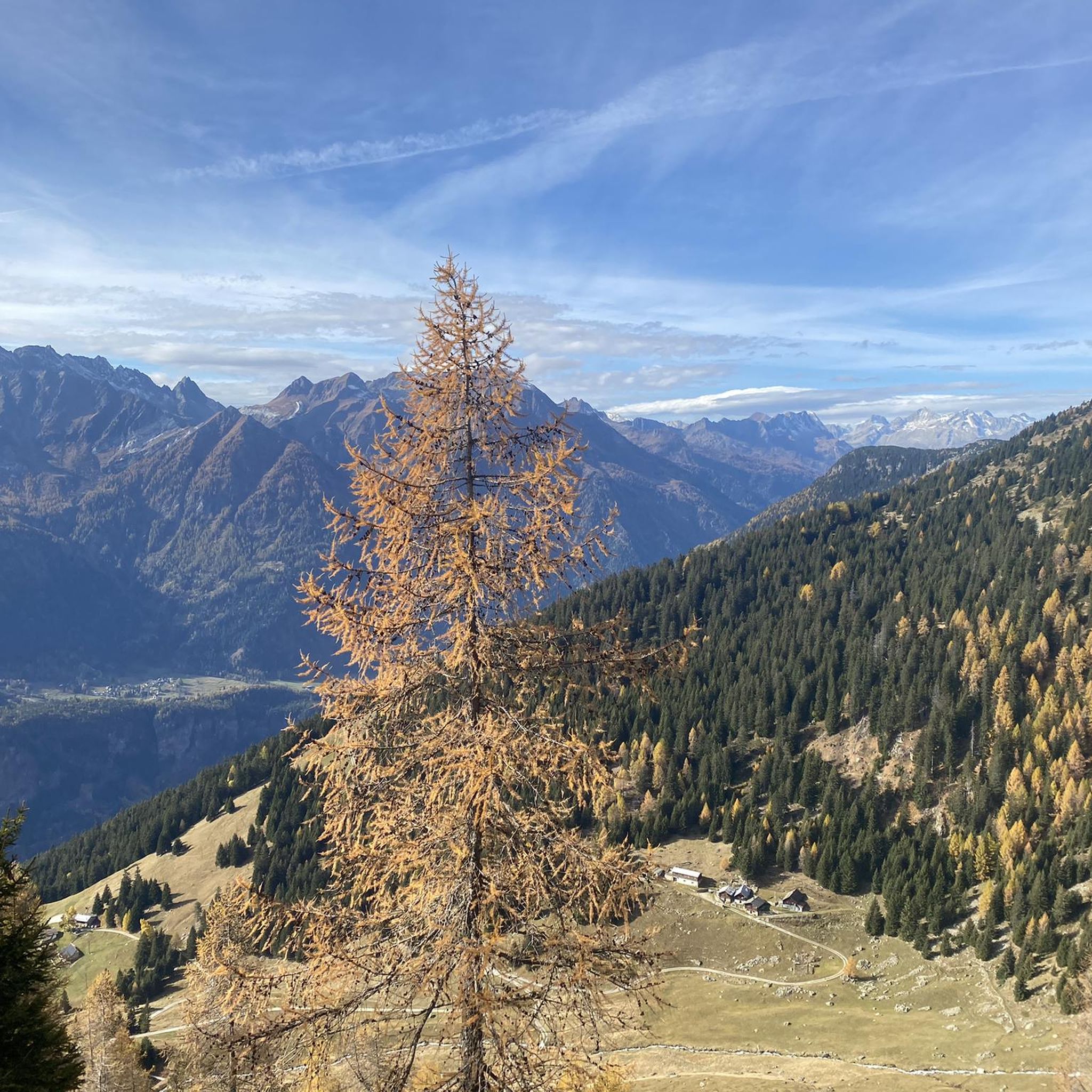
MTB Trails around Faido
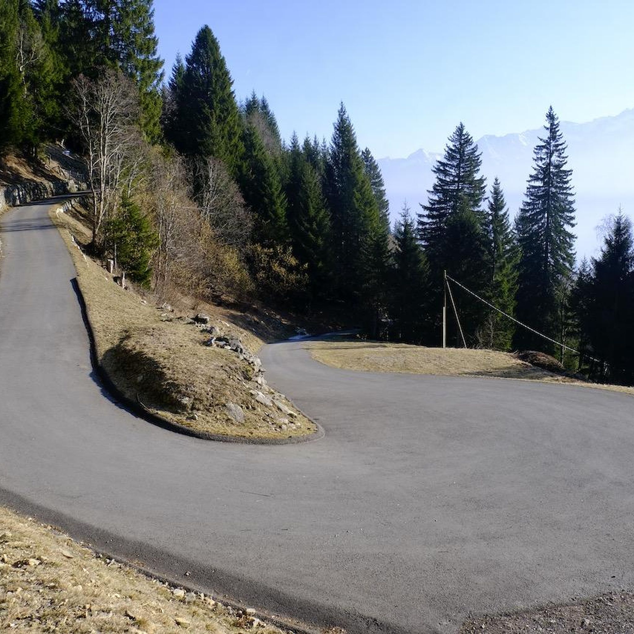
Road Cycling Routes around Faido
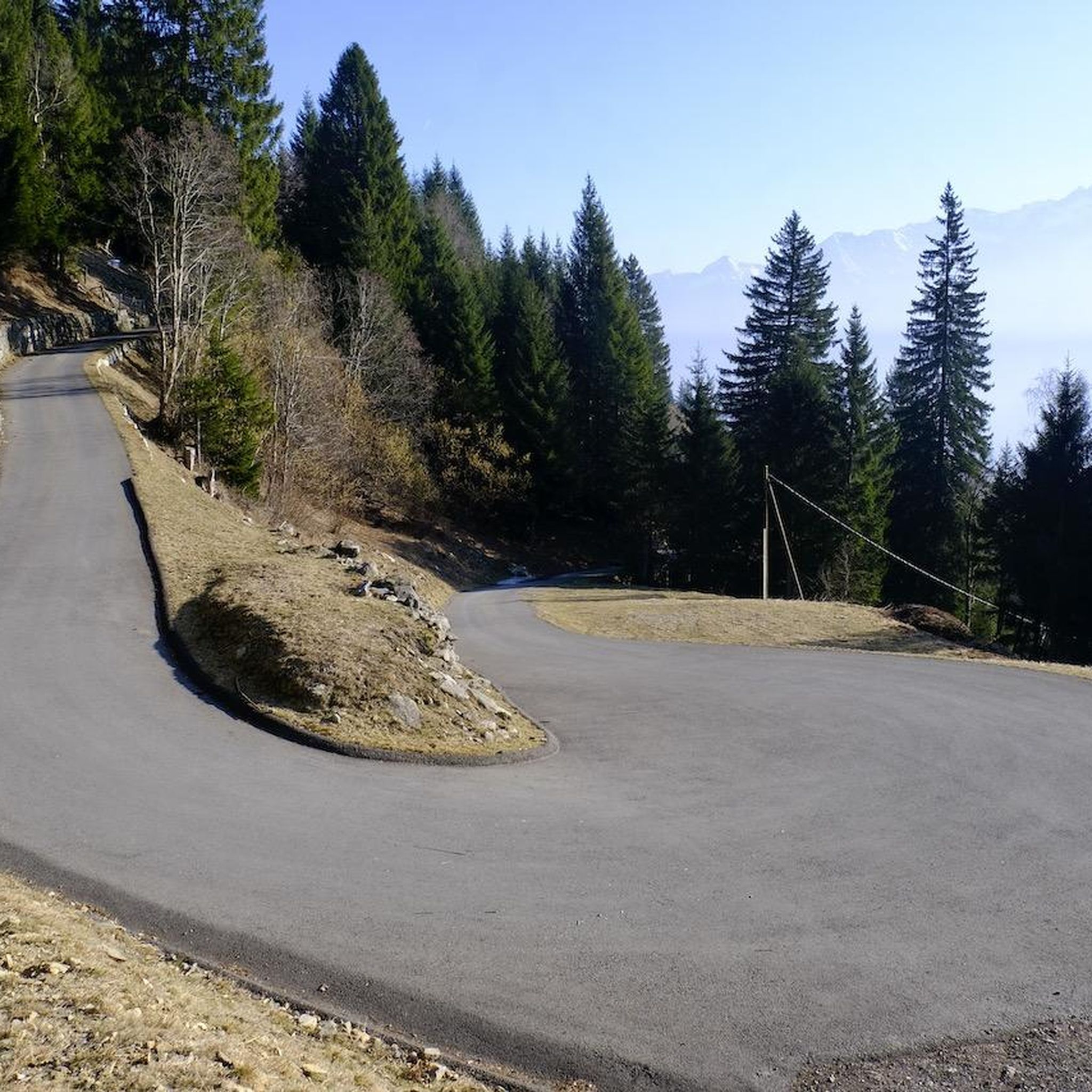
Cycling around Faido
Gravel biking around Faido
Mountain Hikes around Faido
Other adventures around Faido


Tips from the Community

You can swim in the pool at the foot of the waterfalls. The water was still quite cold at the end of May, it must be wonderful in midsummer. Between the waterfall and the river Ticino there is a nice park area with several grills, ideal for lingering.
0
0


Pian Selva is a town in the Canton of Ticino, located at 1100 meters above sea level, surrounded by woods and waterfalls. It can be reached with a panoramic cable car from Faido, where the departure station is located.
0
0
The Capanna Gana Rossa is an alpine refuge in the Canton of Ticino, at 2270 meters above sea level. It is open all year round, there is a dormitory with 12 beds, the possibility of cooking and a lighting system with solar panels. It is possible to reach it from various paths and go on excursions to the Mottella lakes or to the nearby peaks.
1
0
Lake Carì is an alpine lake located at 2255 meters above sea level in the Canton of Ticino, above the town of Faido in the Leventina Valley. It is surrounded by a picturesque mountain landscape, and there is a winter ski resort with ski slopes, sledding and snowshoeing.
0
0
The Sentiero del Montanaro is a hiking route inaugurated in 2020 that connects Carì and Brusada, to the cable car station and the Osteria Belvedere at 2000 meters above sea level. Along the path you can admire the panorama of the Swiss Alps and the local flora and fauna, thanks to educational signs.
0
0
The Brusada cable car connects Croce di Carì with Lake Carì, reaching more than 2,200 meters above sea level. It is open in summer and next to the ski lift there is also the Osteria Belvedere, from where you can enjoy a splendid view of the mountains.
0
0
Frequently Asked Questions
How many hiking trails are available around Faido?
Faido offers a wide variety of hiking experiences, with over 70 trails to explore. These range from easy strolls to challenging alpine routes, catering to different fitness levels and preferences.
What makes hiking in Faido unique?
Hiking in Faido is unique due to its location in the heart of the Leventina valley, characterized by dramatic granite faces, lush pine forests, and serene rivers. The region boasts notable natural attractions like the Piumogna Waterfall and picturesque alpine lakes such as Lago di Carì, all set against a backdrop of evocative mountains like Pizzo Forno.
What do other hikers say about the trails in Faido?
The trails in Faido are highly regarded by the komoot community, with an average rating of 4.7 stars from over 200 reviews. Hikers often praise the varied terrain, stunning natural beauty, and well-maintained paths that offer experiences from gentle walks to more demanding alpine adventures.
Are there any hikes that feature waterfalls in the Faido area?
Yes, the Faido region is home to the spectacular Piumogna Waterfall. You can explore this natural wonder on routes like The waterfalls of Val Piumogna – loop from Pian Selva, which takes you through the Val Piumogna to discover multiple cascades.
Can I find family-friendly hiking options near Faido?
Absolutely. Faido offers several easy trails suitable for families. The area's diverse network includes gentle paths through forests and along rivers, providing accessible options for hikers of all ages. Many routes also feature picnic areas, such as near the Piumogna Waterfall.
Are dogs allowed on hiking trails in Faido?
Generally, dogs are welcome on most hiking trails in the Faido region. However, it's always recommended to keep them on a leash, especially in areas with livestock or protected wildlife. Please ensure you carry water for your dog and clean up after them.
Are there any circular hiking routes around Faido?
Yes, Faido offers several excellent circular routes. For example, the Strada Bassa and ViaGottardo Loop provides a scenic journey through the Leventina valley, while the Strada Alta: Rossura and Calonico Loop offers panoramic views and charming villages.
What kind of natural attractions or landmarks can I explore while hiking in Faido?
Beyond the Piumogna Waterfall, hikers can discover a wealth of natural attractions. The region features stunning alpine lakes like Lago di Carì, dramatic granite faces, and expansive alpine pastures. You might also encounter mountain passes such as Lukmanier Pass summit or Passo di Gana Negra (Black Rocks Pass), offering breathtaking views.
What is the best time of year to hike in Faido?
The best time for hiking in Faido is typically from late spring to early autumn (May to October). During these months, the weather is generally mild, trails are clear of snow, and the alpine flora is in full bloom. Higher altitude routes are best enjoyed in mid-summer.
Are there options for easy hikes near Faido?
Yes, Faido has a good selection of easy hikes. About 12 of the trails are classified as easy, perfect for a leisurely stroll through the valley, along rivers, or to accessible viewpoints without significant elevation gain.
Are there mountain huts or places to eat along the trails in Faido?
The Faido region is dotted with mountain huts and refuges, such as Capanna Bovarina and Capanna Cadlimo, which provide welcoming stops for hikers, often in scenic locations. Some trails, like the Sentiero del Montanaro, lead to cable car stations with restaurants like Osteria Belvedere, offering opportunities for refreshments and meals.
How can I access hiking trails in Faido using public transport?
Faido is well-connected by public transport. The town itself is accessible by train, and local bus services can take you to various starting points for hikes within the Leventina valley. For example, Pian Selva, a starting point for several hikes, is accessible by a panoramic cable car from Faido.
Are there challenging hikes for experienced trekkers in Faido?
Yes, for experienced trekkers, Faido offers challenging alpine routes. About 16 of the trails are classified as difficult, with significant elevation gains and varied mountain landscapes. Segments of larger routes like the Via Alta Idra, which spans over 100 kilometers above 2,000 meters, also pass through the area, offering spectacular views and demanding terrain.
Most popular attractions around Faido

Get inspired with the komoot mobile app


Explore more
Browse the best Hikes in other regions.
