The best road cycling routes around Bee Cave
4.4
(11)
468
riders
22
rides
Road cycling routes around Bee Cave are characterized by the hilly terrain of the Texas Hill Country, offering engaging climbs and descents. Elevations in the area range from 875 to 1,025 feet above sea level, providing sweeping views of the surrounding landscape. The region features rolling hills and native vegetation, with routes often incorporating views towards Lake Travis. This topography makes Bee Cave a compelling destination for road cyclists seeking varied challenges.
Best road cycling routes around Bee Cave
- The most popular road cycling route is Shepherd Mountain loop, a 33.8 miles (54.4 km) trail that takes 2 hours 35 minutes to complete. This route features significant elevation changes through the area's hilly landscape.
- Another top favourite among local road cyclists is Suburban SoCo Hills loop, a moderate 33.4 miles (53.8 km) path. This route offers a mix of climbs and descents through the suburban hills of Bee Cave.
- Local road cyclists also love the Butler District Park trail – Pfluger Pedestrian Bridge loop from West Ridge Middle School Tennis Courts, a 28.9 miles (46.5 km) trail leading through varied urban and natural landscapes, often completed in about 2 hours 31 minutes.
- Road cycling around Bee Cave is defined by rolling hills, Texas Hill Country vistas, and native vegetation. The network offers options for different ability levels, from moderate to more challenging routes.
- The routes in Bee Cave are highly rated by the komoot community with an average score of 4.3 stars from over 8 reviews. More than 300 road cyclists have used komoot to explore Bee Cave's varied terrain.
Last updated: October 10, 2026
4.0
(2)
21
riders
54.4km
02:35
620m
620m
Moderate road ride. Good fitness required. Mostly well-paved surfaces and easy to ride.
5.0
(1)
19
riders
53.8km
02:32
470m
470m
Moderate road ride. Good fitness required. Mostly well-paved surfaces and easy to ride.

3.5
(2)
142
riders
Moderate road ride. Good fitness required. Some segments of this route may be unpaved and difficult to ride.
4.0
(2)
24
riders
57.2km
02:56
690m
690m
Moderate road ride. Good fitness required. Mostly well-paved surfaces and easy to ride.
7
riders
Moderate road ride. Good fitness required. Some segments of this route may be unpaved and difficult to ride.
Get access to more routes and recommendations from other explorers.
Already have an account?
Our route recommendations are based on thousands of hikes, rides, and runs completed by other people on komoot.
Start today with a free account
Your next adventure awaits.
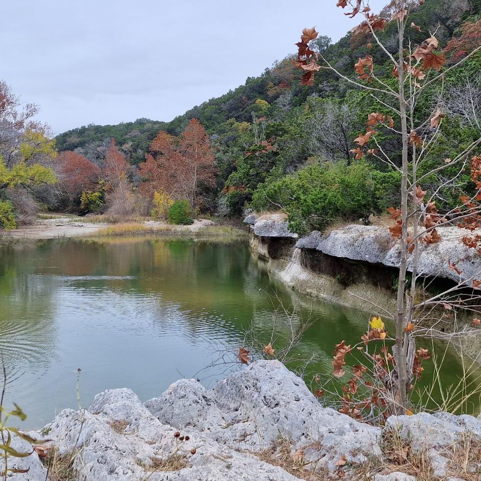

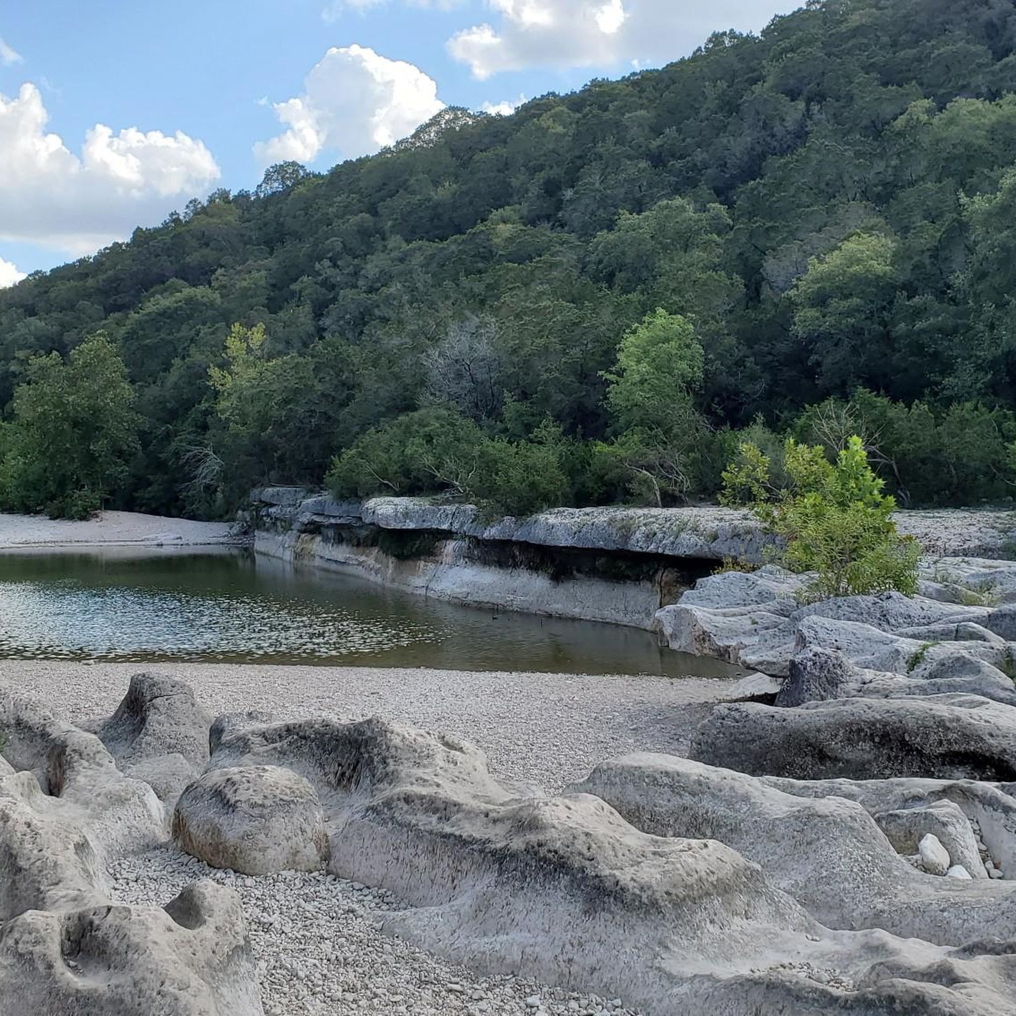
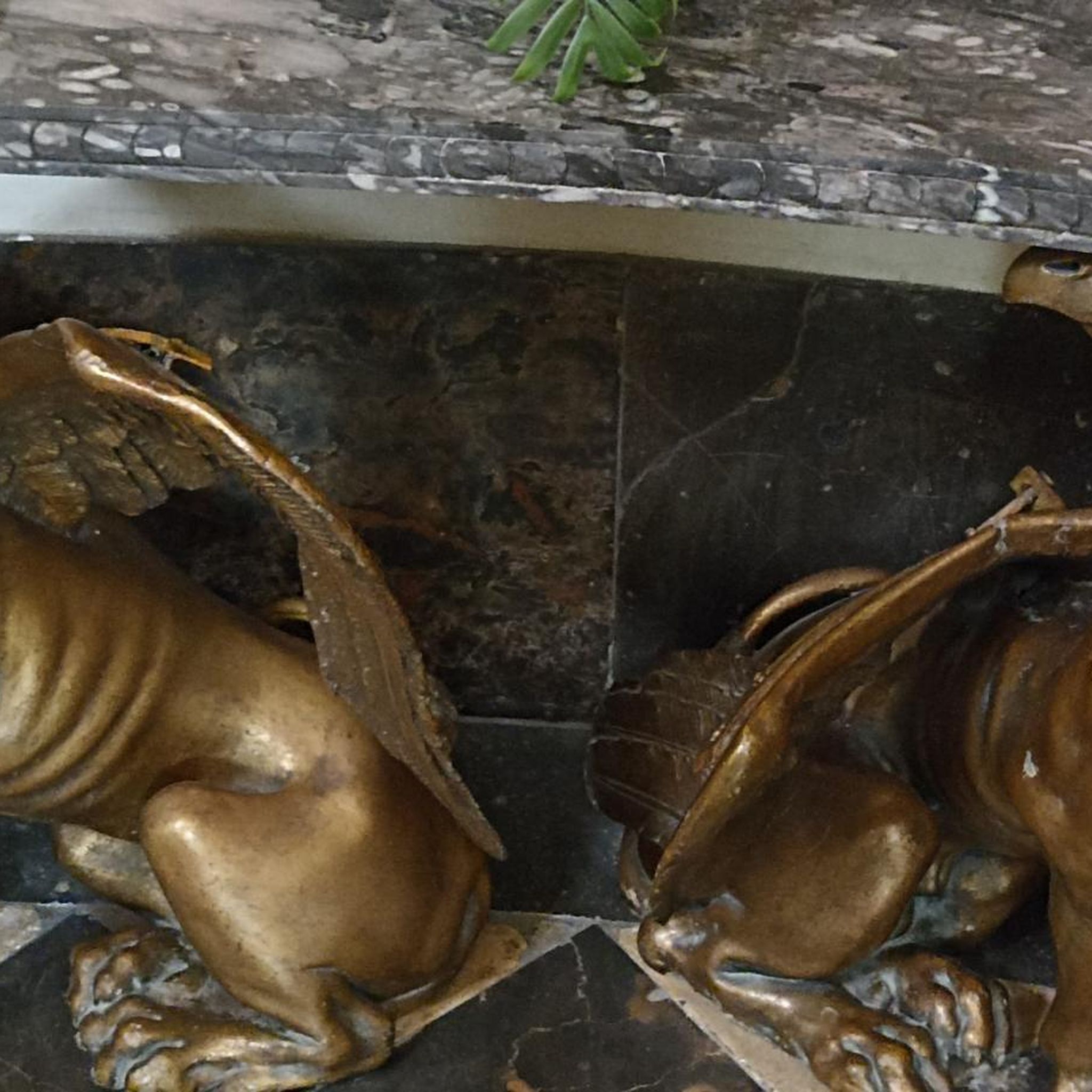
Tips from the Community

Popular spot in the heart of Austin. Beautiful facility. Also suitable for dogs
0
0

The Pfluger Pedestrian Bridge, also known as the James D. Pfluger Pedestrian and Bicycle Bridge, spans 700 feet over Lady Bird Lake in downtown Austin, Texas. Opened in 2001, this shared-use bridge connects the north and south sides of the Ann and Roy Butler Hike-and-Bike Trail. It features a distinctive "double curve" design supported by curved concrete piers and a concrete deck on top of weathering steel plate girders. The bridge is named after James D. Pfluger, a local architect who designed the trails surrounding Lady Bird Lake.
0
0

The azure blue water of the springs offers a gorgeous view across to the Austin skyline and makes for a great place to cool off in the summer. There are well maintained and paved paths that circumnavigate the water's edge, and there are some flat rocks that you can use to climb down by the edge of the pool.
1
0

Zilker Metropolitan Park, located in South Austin, Texas, is a haven for urban exploration. Spanning over 350 acres at the confluence of Barton Creek and the Colorado River, this historic park was originally donated by Andrew Jackson Zilker in 1917 and developed into a park during the 1930s. The park is now a central hub for recreation, with the popular hike-and-bike trail around Lady Bird Lake. Whether you're cruising through the park or heading out to explore Austin’s vibrant streets, Zilker Park is a great starting point for any urban adventure. The park also hosts major events like the Austin City Limits Music Festival and the Zilker Park Kite Festival.
0
0

Shepherd Mountain is a favorite road climb for local cyclists. From the summit you get great views of Lake Austin and Pennybacker Bridge.
0
0

Don't forget small change for the musicians
0
0

Adjacent to the Barton Creek Greenbelt is Gaines Park. The park provides habitat for the federally endangered Golden-Cheeked Warbler along with being a great place to hike and bike. You can hike to the Twin Falls and Sculpture Falls but this is a very popular section of trail that’s almost always busy on a nice day. On such a day just about everyone in Texas wants to come here to mountain bike, rock climb, hike or bike and those seeking out the falls of course are out for a good swim.
0
0

Beckett Road passes alongside Dick Nichols District Park. It is a firm favourite with families, with plenty of trails to discover. With bike paths on either side of the road, it's a nice green route into or out of Austin.
0
0
Frequently Asked Questions
What kind of terrain can I expect on road cycling routes around Bee Cave?
Road cycling routes around Bee Cave are characterized by the hilly terrain of the Texas Hill Country. You can expect engaging climbs and descents, with elevations ranging from 875 to 1,025 feet above sea level. This topography provides sweeping views of the surrounding landscape and offers varied challenges for cyclists.
Are there challenging road cycling routes for experienced riders in Bee Cave?
Yes, Bee Cave offers challenging routes with significant elevation gains. For instance, the Shepherd Mountain loop is a moderate route with substantial elevation changes, while other routes can feature up to 1500 ft over longer durations, catering to very good fitness levels.
Are there any road cycling routes that offer scenic views or pass by natural attractions?
Many routes in Bee Cave offer picturesque views of the Texas Hill Country and often incorporate glimpses of Lake Travis. For natural attractions, consider routes that might pass near the Sculpture Falls or the Small waterfall. The region's natural charm includes rolling hills and lush scenery, making for a beautiful ride.
What is the best time of year to go road cycling in Bee Cave, Texas?
The best time for road cycling in Bee Cave is typically during the cooler months, from fall through spring, to avoid the intense summer heat. During summer, it's advisable to ride early in the morning or late in the afternoon and carry plenty of water to stay hydrated.
Are there any family-friendly cycling options in Bee Cave, even if not exclusively road cycling?
While dedicated road cycling routes are generally for more experienced riders due to the hilly terrain, Bee Cave does offer multi-use paths suitable for families. The Bee Cave Hike and Bike Trail and the Central Park Perimeter Trail are paved loops ideal for leisurely rides, featuring amenities like restrooms and water fountains.
Where can I find parking for road cycling routes in the Bee Cave area?
Parking is available at various points. For example, Bee Cave Central Park offers parking for access to its perimeter trail. For routes extending into Austin, you might find parking near the Ann and Roy Butler Hike-and-Bike Trail or McKinney Falls State Park, depending on your chosen starting point.
What do other road cyclists enjoy most about cycling in Bee Cave?
The area is highly rated by the komoot community, with an average score of 4.3 stars from over 8 reviews. Cyclists often praise the engaging climbs and descents, the beautiful Texas Hill Country vistas, and the variety of routes that cater to different fitness levels.
Are there any long-distance road cycling routes available from Bee Cave?
Yes, Bee Cave serves as a great starting point for longer rides. For example, the Suburban SoCo Hills – Pfluger Pedestrian Bridge loop from West Ridge Middle School Tennis Courts covers approximately 39.7 miles (63.9 km), offering a substantial ride through varied landscapes.
Can I access Bee Cave cycling routes using public transport?
Public transportation options directly to Bee Cave trails might be limited. However, for routes that extend closer to Austin, you may find more public transport access points. It's recommended to check local transit schedules and routes for specific trailheads.
Are there any unique landmarks or points of interest near the cycling routes?
Beyond the natural beauty, the Bee Cave Sculpture Park offers a unique blend of art and nature with scenic walking trails and outdoor sculptures, providing a peaceful backdrop. Nearby, the Westcave Outdoor Discovery Center and Hamilton Pool Preserve are notable natural wonders with unique geological formations and waterfalls, though they may require a short drive from cycling routes.
What should I bring for a road cycling trip in Bee Cave?
Given the hilly terrain and potential for warm weather, it's essential to bring plenty of water, especially during warmer months. Sunscreen, a helmet, appropriate cycling gear, and basic repair tools are also highly recommended. Checking weather conditions before your ride is always a good idea.
Are there any loop routes for road cycling in Bee Cave?
Yes, many of the road cycling routes around Bee Cave are designed as loops, allowing you to start and end at the same point. An example is the Pace Bend Park loop from Lakeway, which offers a moderate challenge over approximately 32.8 miles (52.8 km).
Most popular routes around Bee Cave
Most popular attractions around Bee Cave

Get inspired with the komoot mobile app


Explore more
Browse the best Road cycling routes in other regions.
