The best running trails around Valley Forge
41
runners
11
runs
Jogging around Valley Forge offers an expansive trail system across 3,500 acres of meadows and woodlands, providing diverse landscapes for runners. The terrain features rolling hills, level stretches, and some steep sections, with elevations generally under 200 meters. Three miles of the Schuylkill River and two miles of Valley Creek run through the park, offering scenic waterside routes. The park's geology contributes to varied surfaces, including paved paths and unpaved dirt and gravel trails through forests.
Best jogging routes around…
Last updated: August 12, 2026
6
runners
8.92km
01:06
120m
120m
This section of the Appalachian Trail, from Shook Branch to Watauga Dam, offers a delightful jogging experience through the Cherokee National Forest. You'll trace the shoreline of Watauga Lake, enjoying…
1
runners
5.67km
00:51
300m
300m
The Coon Den Falls and Appalachian Trail Loop offers a dynamic jogging experience, blending the iconic Appalachian Trail with the rugged beauty of Coon Den Falls. You'll navigate a diverse…

Sign up for free
1
runners
7.53km
00:57
130m
130m
The Appalachian Trail to Laurel Falls offers a refreshing escape into the Cherokee National Forest, winding through dense rhododendron forests and alongside the clear waters of Laurel Fork Creek. You'll…
1
runners
3.80km
00:30
80m
80m
The Appalachian Trail to Laurel Falls offers a refreshing jogging experience through dense rhododendron forests and along the clear waters of Laurel Fork Creek. You'll encounter picturesque cascades and even…
4.04km
00:29
10m
10m
Jog this easy 2.5-mile (4.0 km) route on the Overmountain Victory National Historic Trail in Sycamore Shoals State Historic Area.
Get access to more routes and recommendations from other explorers.
Sign up for free
Already have an account?
Our route recommendations are based on thousands of hikes, rides, and runs completed by other people on komoot.
Start today with a free account
Your next adventure awaits.
Login or Signup
Popular around Valley Forge

Tips from the Community

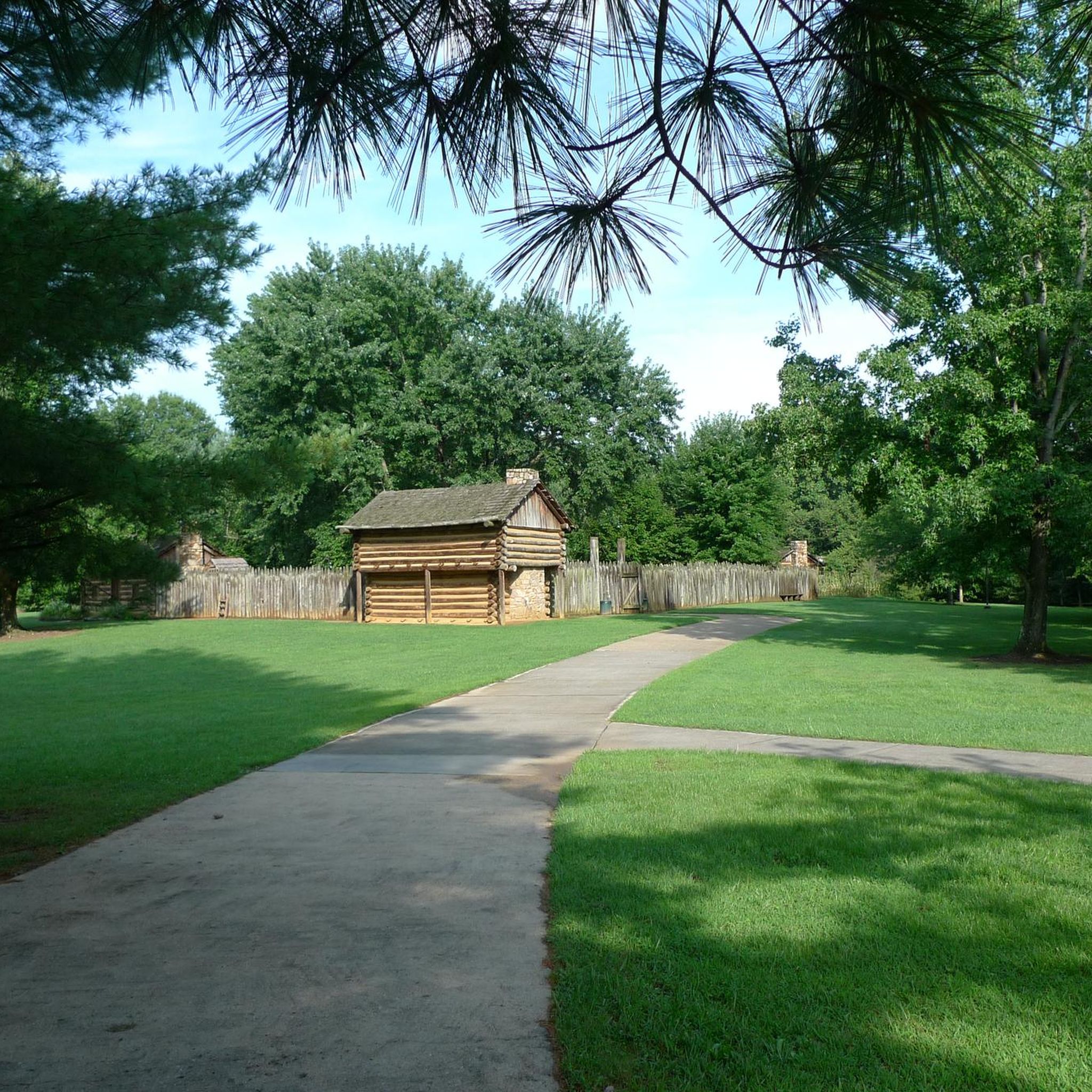
Sycamore Shoals State Historic Area played a vital role in the Revolutionary War. There is history and memorabilia located within the park's boundaries, and several crushed gravel and grass trails weave through the property. There are a few quiet spots next to the river that feature benches, too.
0
0
The Appalachian Trail passes right over the top of Watauga Dam and looks over Watauga Lake. With the Pond Mountain Wilderness to the south and the Big Laurel Branch Wilderness to the north, this is a wild and secluded part of the AT. Once you get away from the boaters at the marina, you'll have a lot of solitude in either direction.
0
0
This section of the Appalachian Trail leads from Dennis Cove to Laurel Falls. The trail starts off pretty wide with lots of areas on the side of the trail to post up next to the creek running beside the path, but once you get closer to the falls, the trail gets much rockier and more technical with water crossings and bridges.
0
0
This bridge crosses over the Laurel Fork waterway, which gets pretty full in the spring and summer months. You actually have to cross the water a handful of times between here and Laurel Falls.
0
0
Laurel Falls is a really popular hiking destination. You can get there by taking the Appalachian Trail from Dennis Cove or by starting over in Hampton on the Blueline Trail. Note while out here that the white blazes on the trees and rocks are for the Appalachian Trail and the blue blazes are for the Blueline Trail. There is a super steep set of rock stairs for the final 200 meters down to the water. Be prepared to get in a workout once you leave the falls area!
0
0
Laurel Falls is a really popular hiking destination. You can get there by taking the Appalachian Trail from Dennis Cove or by starting over in Hampton on the Blueline Trail. Note while out here that the white blazes on the trees and rocks are for the Appalachian Trail and the blue blazes are for the Blueline Trail. There is a super steep set of rock stairs for the final 200 meters down to the water. Be prepared to get in a workout once you leave the falls area. If you can run up all the steps without having to hike at all, you're an absolute beast!
0
0
Coon Den Falls is a super cool 70-foot waterfall that doesn't see too many visitors. The trail leading up to the cascade follows the Coon Den Branch stream up to the foot of the cliff that the water pours off of. The upper 20 feet of the waterfall are hidden by bushes and leaves, but this cascade is still worth a visit if there has been any decent precipitation recently.
0
0
Frequently Asked Questions
How many running routes are available in Valley Forge National Historical Park?
Komoot features over 9 running routes in Valley Forge National Historical Park, catering to various skill levels. These include easy paved loops, moderate forest trails, and some more challenging options.
Are there any easy or beginner-friendly jogging routes in Valley Forge?
Yes, Valley Forge offers several easy running options. The Appalachian Trail to Laurel Falls is an easy 2.4-mile (3.8 km) path. The paved Joseph Plumb Martin Trail, while not explicitly listed in the routes data, is known as a popular and relatively flat multi-use loop, ideal for beginners, though it does include some rolling hills.
Can I bring my dog on the running trails in Valley Forge?
Valley Forge National Historical Park is generally dog-friendly. Leashed dogs are permitted on most trails, including the paved Joseph Plumb Martin Trail and the unpaved forest paths. Always ensure your dog is on a leash and that you clean up after them.
Are there any circular running routes in Valley Forge?
Yes, the Joseph Plumb Martin Trail is a well-known circular route, approximately 5 to 6 miles long, that encircles the central Grand Parade and connects many historical sites. While not explicitly listed as a circular route in the provided data, many of the park's trails can be combined to form loops.
What kind of terrain can I expect on the running trails?
Valley Forge offers a diverse range of terrain. You'll find well-maintained paved paths like the Joseph Plumb Martin Trail, as well as unpaved dirt and gravel trails winding through the forests of Mount Joy and Mount Misery. Some routes feature lengthy level stretches, while others include rolling hills and steeper sections, especially those with views of the Schuylkill River.
What historical landmarks or scenic points can I see while running?
Many routes in Valley Forge integrate historical elements. You can run past reconstructed log huts at the Muhlenberg Brigade Area, the iconic National Memorial Arch, the Patriots of African Descent Monument, and Artillery Park. Additionally, trails along the Schuylkill River and Valley Creek offer scenic waterside views. You can also explore highlights like Watauga Dam or Watauga Lake.
Are there any running routes with views of water or rivers?
Absolutely. Three miles of the Schuylkill River and two miles of Valley Creek run through the park, providing numerous opportunities for scenic waterside runs. The Valley Creek and Schuylkill River Path is a 3.5-mile (5.6 km) trail specifically designed for this, offering picturesque views along the water.
What is the best time of year to go jogging in Valley Forge?
Valley Forge is beautiful year-round, but spring and fall offer particularly pleasant running conditions with mild temperatures and vibrant foliage. Summer can be warm and humid, so early mornings or late evenings are best. Winter running is also possible, though some unpaved trails might be muddy or icy, and conditions can vary.
Are there less crowded running trails for a more peaceful experience?
While the paved Joseph Plumb Martin Trail can be popular, especially on weekends, the unpaved trails through the forests of Mount Joy and Mount Misery often offer a more secluded and peaceful running experience. These trails, such as the Coon Den Falls and Appalachian Trail Loop, provide a natural, trail-running environment.
What do other runners enjoy most about jogging in Valley Forge?
Runners frequently praise the diverse landscapes, from expansive meadows to dense woodlands, and the seamless integration of historical landmarks. The variety of terrain, including both paved and unpaved paths, is also highly appreciated, offering options for all fitness levels. Over 19 runners have used komoot to explore the varied terrain of Valley Forge.
Are there any challenging running routes in the park?
Yes, for those seeking a more challenging run, the park offers routes with significant elevation changes. For example, the Appalachian Trail: Watauga Lake route is considered difficult, covering 6.7 miles (10.8 km) with an elevation gain of 478 meters. The unpaved trails through Mount Joy and Mount Misery also feature steep sections that provide a good workout.
Is Valley Forge suitable for family jogging or running with children?
Yes, Valley Forge is very family-friendly. The paved Joseph Plumb Martin Trail is an excellent option for families, as it's relatively flat and accessible. It also passes many historical sites, making it an engaging experience for children. Shorter, easy routes like the Appalachian Trail to Laurel Falls are also great for families.
Most popular routes around Valley Forge
Most popular attractions around Valley Forge

Get inspired with the komoot mobile app


Explore more
Browse the best Running Trails & Routes in other regions.
