The best road cycling routes around Fairmount
5.0
(1)
60
riders
9
rides
Road cycling around Fairmount offers routes through expansive green spaces and varied terrain. The area is characterized by rolling hills, shaded woodlands, and the scenic Schuylkill River, which bisects the park. Cyclists can find paths ranging from gentle trails to routes with significant elevation changes. This blend of natural features provides diverse road cycling experiences within an urban park setting.
Best road cycling routes around Fairmount
- The most popular road cycling route is Hicks Gap Natural Area from Suck Creek…
Last updated: October 13, 2026
12
riders
41.0km
02:25
530m
530m
Moderate road ride. Good fitness required. Mostly well-paved surfaces and easy to ride.
5.0
(1)
5
riders
101km
05:03
1,020m
1,020m
Hard road ride. Very good fitness required. Mostly well-paved surfaces and easy to ride.

14
riders
43.4km
02:24
580m
580m
Moderate road ride. Good fitness required. Mostly well-paved surfaces and easy to ride.
8
riders
31.1km
01:34
280m
280m
Easy road ride. Great for any fitness level. Mostly well-paved surfaces and easy to ride.
8
riders
27.8km
01:45
410m
410m
Moderate road ride. Good fitness required. Mostly well-paved surfaces and easy to ride.
Get access to more routes and recommendations from other explorers.
Already have an account?
Our route recommendations are based on thousands of hikes, rides, and runs completed by other people on komoot.
Start today with a free account
Your next adventure awaits.
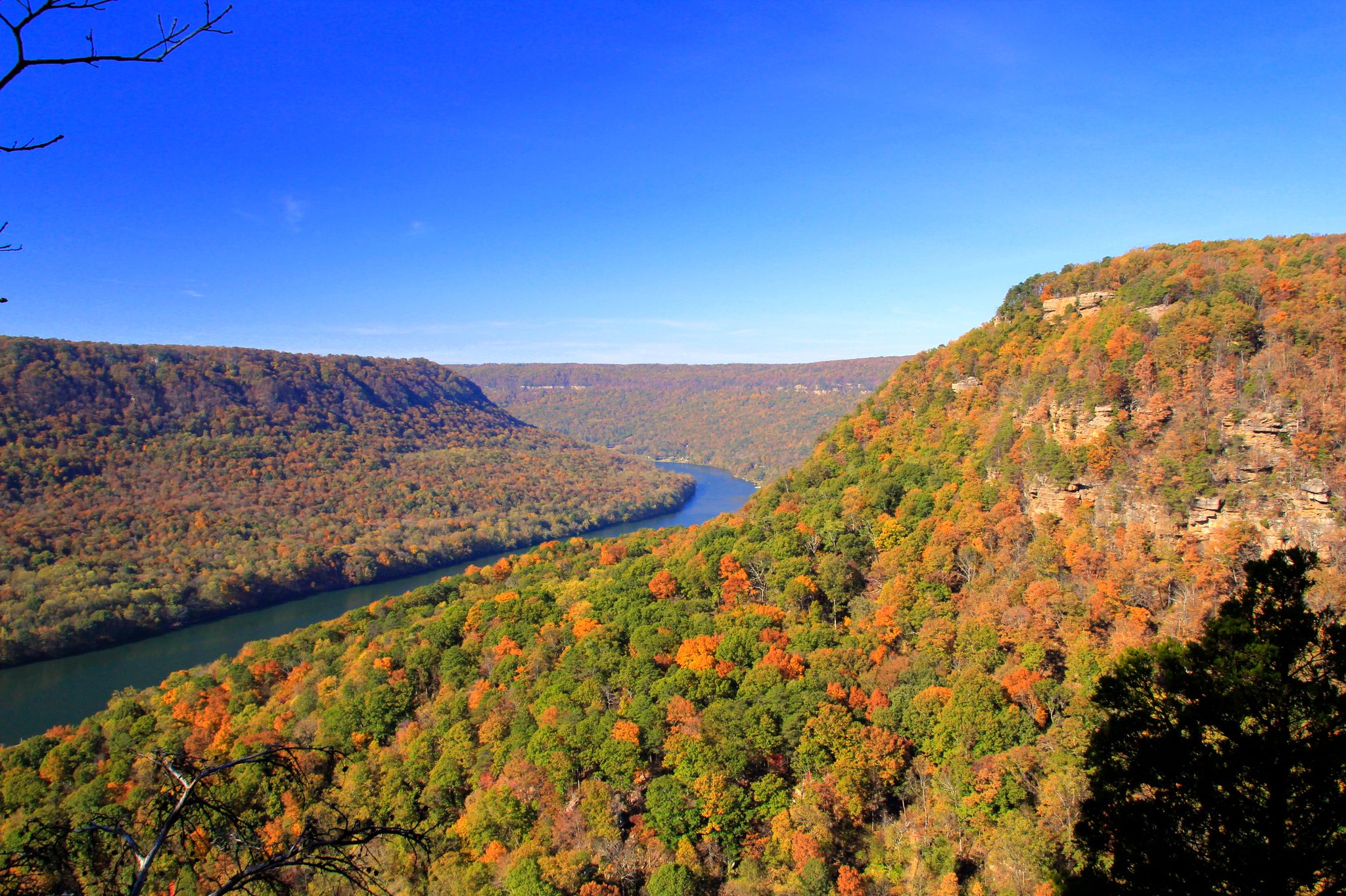


Other adventures around Fairmount

Tips from the Community

Connor Toll House is a small but meaningful historical stop tucked along Anderson Pike. Built in the early 1900s, the house played a role as a strategic point for the Union Army and was later used as part of the development of a transportation network across Walden’s Ridge. It also served as a toll gate for travelers making their way up the mountain. Today, the house is not open to visitors, but you can still see the old wooden building contrasting with the modern homes in the neighborhood. It’s worth passing by for a closer look from the outside.
0
0

Prentice Cooper Wildlife Management Area sprawls across 24,686 acres of scenic Tennessee wilderness. Offering diverse ecosystems and outdoor activities like cycling, hiking, fishing, and birdwatching, it's a haven for lovers of nature and adventure.
0
0
Catch lush & stunning views of the surrounding Appalachian Mountains from Bakewell Mountain!
0
0
Chickamauga Reservoir, nestled along the Tennessee River, captivates with its expansive waters and picturesque shores.
0
0
Hicks Gap Natural Area is a lush mountainous area nestled in the Appalachian foothills of the Cumberland Plateau. It provides breathtaking views and a peaceful environment for outdoor enthusiasts in the Chattanooga area.
0
0

On the right sight of Signal Point Park is the entrance to the nature trails into the Rainbow Wilderness with some scenic view points on Edwards point and the Tennessee River Valley
0
0

A place of historical importance, Signal Point and Signal Point Park are popular hiking and running attractions in the Chattanooga area. The views from Signal Point are of the Tennessee River, and the parking area also serves as a trailhead for the Cumberland Trail.
0
0

Signal Point was a key location from which Union forces relayed information from within the city to the outside world during the Siege of Chattanooga. There is a good view of the Tennessee River below.
0
0
Frequently Asked Questions
What kind of terrain can I expect when road cycling in Fairmount?
Fairmount offers a diverse road cycling experience with rolling hills, shaded woodlands, and paths along the scenic Schuylkill River. You'll find routes with varied terrain, from gentle trails to those with significant elevation changes, providing options for different skill levels.
Are there road cycling routes suitable for beginners in Fairmount?
Yes, Fairmount has several easy road cycling routes. For instance, the Read Lake loop from Falling Water is an easy 31.1 km trail with moderate elevation, perfect for those new to road cycling or looking for a relaxed ride.
Are there challenging road cycling routes for experienced riders in Fairmount?
Absolutely. Experienced road cyclists can tackle routes like the Bakewell Mountain & Chickamauga Reservoir loop. This difficult 101.0 km path features extensive views and significant climbs, offering a substantial challenge.
What scenic viewpoints or landmarks can I see along Fairmount's road cycling routes?
Fairmount's routes offer access to numerous scenic spots. You can enjoy stunning skyline views from Belmont Plateau, or explore historic sites like the Fairmount Water Works. Along the routes, you might also encounter highlights such as Snooper’s Rock or the View of the Tennessee River from Signal Point.
Are there any waterfalls or natural attractions accessible by road bike in Fairmount?
While Fairmount Park itself features wetlands and ravines, some natural attractions like Hogskin Branch Waterfall and the serene Rainbow Lake Wilderness are within reach or nearby, offering beautiful natural stops during your ride.
Are there family-friendly road cycling routes in Fairmount?
Fairmount Park's extensive trail network, including sections of the Schuylkill River Trail, provides many paved and gentle paths suitable for families. These routes often steer clear of heavy traffic, making them a safe and enjoyable option for cyclists of all ages.
Where can I park when planning a road cycling trip in Fairmount?
Fairmount Park offers various parking options throughout its expansive area. Specific trailheads and attractions often have dedicated parking lots. It's advisable to check the exact location of your chosen route for the most convenient parking facilities.
What is the best time of year for road cycling in Fairmount?
The spring and fall seasons generally offer the most pleasant conditions for road cycling in Fairmount, with mild temperatures and beautiful foliage. Summer can also be enjoyable, especially in the shaded woodland areas, though it can get warm. Winter cycling is possible, but conditions may vary.
Does Fairmount offer circular road cycling routes?
Yes, many of Fairmount's road cycling routes are designed as loops, allowing you to start and end at the same point. An example is the Walnut Street Bridge – Walnut Street Bridge loop from Hixson Plaza, which offers a scenic circular ride along the Schuylkill River.
Are there options for long-distance road cycling in Fairmount?
Fairmount and its surrounding areas provide excellent opportunities for long-distance road cycling. Routes like the Bakewell Mountain & Chickamauga Reservoir loop, at over 100 km, demonstrate the potential for extensive rides within the region.
What do other road cyclists enjoy most about the routes in Fairmount?
The road cycling routes in Fairmount are highly rated by the komoot community, with an average score of 4.75 stars. Cyclists frequently praise the diverse terrain, the scenic beauty of the Schuylkill River, and the expansive green spaces that make for an enjoyable ride within an urban setting.
How long do road cycling routes in Fairmount typically take to complete?
The duration of road cycling routes in Fairmount varies significantly based on distance and difficulty. For example, a moderate route like Hicks Gap Natural Area from Suck Creek (41.0 km) typically takes around 2 hours 24 minutes, while longer, more difficult routes can take much longer.
Are there places to stop for refreshments along the road cycling routes in Fairmount?
Given Fairmount Park's urban location, there are various cafes and refreshment spots available in and around the park, particularly near popular attractions and entry points. While specific cafes may not be directly on every trail, you'll find options within easy reach for a break.
Most popular routes around Fairmount
Most popular attractions around Fairmount

Get inspired with the komoot mobile app


Explore more
Browse the best Road cycling routes in other regions.
