The 20 Most Amazing Peaks in Mexico
Best mountain peaks in Mexico include a diverse range of landscapes, from snow-capped stratovolcanoes to dormant peaks with crater lakes. The country's mountainous regions offer challenging climbs and opportunities to explore areas with significant cultural histories. Many peaks are part of national parks, providing varied ecosystems and viewpoints. Mexico's mountains are characterized by their geological formations, including numerous volcanoes.
Best mountain peaks in Mexico
- The most popular mountain peaks is Cruz del Marqués, a summit that offers a 4-hour hike through pine forests and along a ridge. This peak provides views and is part of the Ajusco mountain range.
- Another must-see spot is Nevado de Toluca Summit, a challenging volcano. This summit is known for its two high-altitude crater lakes, Laguna del Sol and Laguna de la Luna, and offers views from over 4000 meters.
- Visitors also love Ascent of Cerro del Muerto, a challenging climb. This highlight offers a magnificent panoramic view from the top, with some routes including a via ferrata.
- Mexico is known for its volcanoes, challenging climbs, and natural monuments. The country offers a variety of mountain peaks to see and explore, from active volcanoes to dormant giants with unique geological features.
- The mountain peaks in Mexico are appreciated by the komoot community, with 30 highlights, 37 photos, and 12 upvotes.
Last updated: October 4, 2026
Nevado de Toluca Summit
Highlight • Summit
Tip by

Pico del Águila and Cruz del Marqués (Ajusco)
Highlight • Summit
Basic equipment and route knowledge are required. I've seen experienced hikers descend on the wrong paths without any serious consequences, but it will take them longer to get back to the road. There are several wooded rest areas along the route for easy stops if needed.
Currently, it's heavily visited, so it's easy to find someone to help if necessary. It's very important to take your waste with you and respect the area so it can last for generations.
There are some higher-risk passes that should be taken into account. It's best to bring safety equipment. You can connect to the next summit of Ajusco (Cruz del Marqués).
Don't forget that the weather on the mountain can change suddenly, and it's best not to get too confident and bring only the essentials, such as sunscreen, a jacket, water, and food.
The view is spectacular and worth the climb! 🤩
A sunrise there is incredible.
> ROUTE: komoot.com/en-us/tour/189363815
Translated by Google •
Tip by

Sign up now to discover places like this
Get recommendations on the best single tracks, peaks, & plenty of other exciting outdoor places.
Cerro Tláloc Summit and Archaeological Site
Highlight • Summit
It's easy to find somewhere to park in the town and then just head roughly north west and find the trail that heads away from the glorious view of the 'Cabeza' (head) of nearby Ista.
The trail is a wide one and you can't miss it really as it lays on the outskirts of the town. If you have any difficulties just ask. The trail is in reality a rough road and is suitable for a four wheel vehicle and it meanders up through a lovely pine forest, which restricts your view but it is still pleasant.
Just stick to the trail and after four k's you start to come out on a plateau. You are still on the big trail and it generally heads to the right. If you come to a junction just follow the yellow arrows. You have views from the plateau and to the left, about 2ks away is the summit of Telopan (4,060m). You will move away from this for another four k's until you come to a single track trail. Follow this until you come to the rock banded summit area of Tlaloc.
Now you go to the left of the rock bands, it's a bit of a bushman cross country trip but we managed to follow the trail up around to the left and had bit of a neat scramble until you come out above the bands. Another k and you come to the broad summit where you have the old Aztec pyramid.
It is time to head down now and this is a bit of bush trek too but the views are quite nice. You have great views of Ista's 'Cabeza' again and it is all very pleasant. Now I would return the same way as you came if you lack hiking competency and use a GPS if you can. We returned a different way heading down the rock band and ended up on a good off piste trip...all rather fun. After a jaunt back down the trail we ended back in Rio Frio. All in all this was a very good hiking day. Nice views, good trail, pine forest hike, easy scrambling and moderate route finding problems. No maps available to us but we got a gps track downloaded from wiki log. Take a gps if you can even if it's only to back track.
Tip by
Summit of Nevado de Colima
Highlight • Summit
Tip by
La Malinche Summit
Highlight • Summit
Tip by
Cruz del Marqués
Highlight • Summit
Tip by
Pico del Águila
Highlight • Summit
Translated by Google •
Tip by
Cofre de Perote Summit
Highlight • Summit
Cofre de Perote is a shield volcano, shaped very differently from the stratovolcanic Pico de Orizaba, which lies about 50 km (31 mi) to the southeast. A cofre is a coffer, and the name alludes to a volcanic outcropping on the shield which constitutes the peak of the mountain. To the north is the town of Perote, Veracruz, after which the mountain is named.
The area surrounding the volcano was protected by the Mexican government as a national park, known as Cofre de Perote National Park (Spanish: Parque Nacional Cofre de Perote), in 1937.
Tip by
Cerro del Mono
Highlight • Summit
Translated by Google •
Tip by

Descent from Pico del Fraile to Lake of the Sun (Nevado de Toluca)
Highlight (Segment) • Trail
Tip by
Sign up for free to discover even more peaks in Mexico.
Already have an account?
Start today with a free account
Your next adventure awaits.
Popular around Mexico

Triathlon 360 – my journey around the world

Pacific Crest Trail from Mexico to Canada – 4,200 kilometres of wilderness

The Continental Divide Trail — Across the sky of America
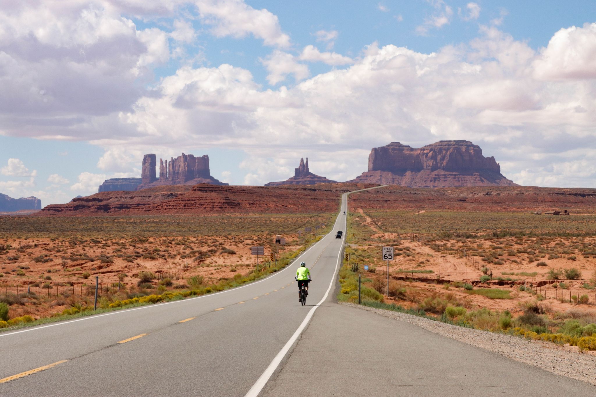
From the Arctic Ocean to the Panama Canal — North American Epic
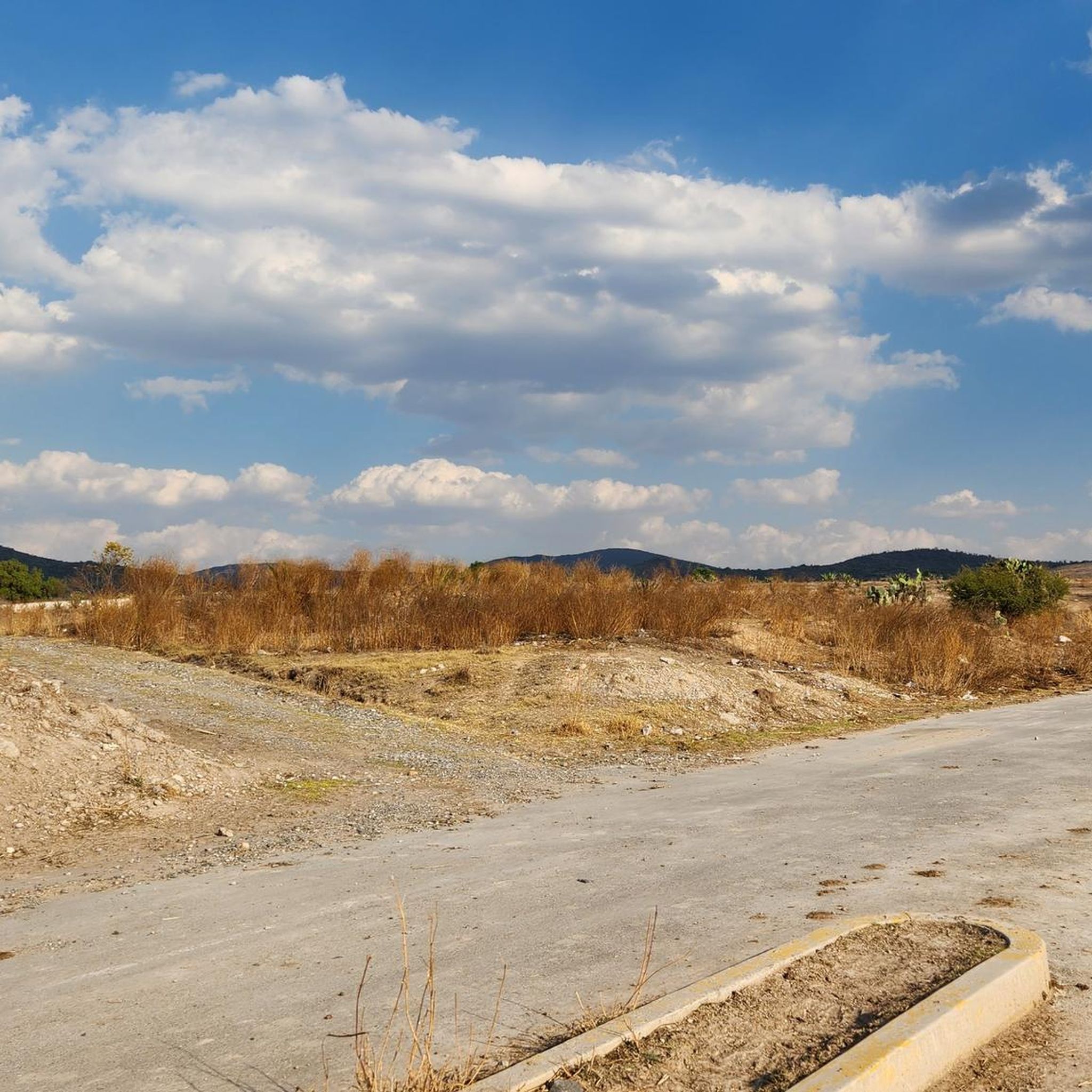
Hiking in Mexico
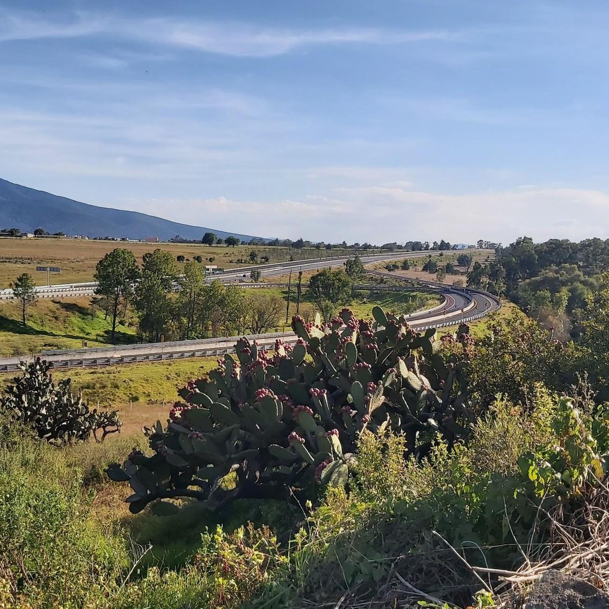
Running Trails in Mexico
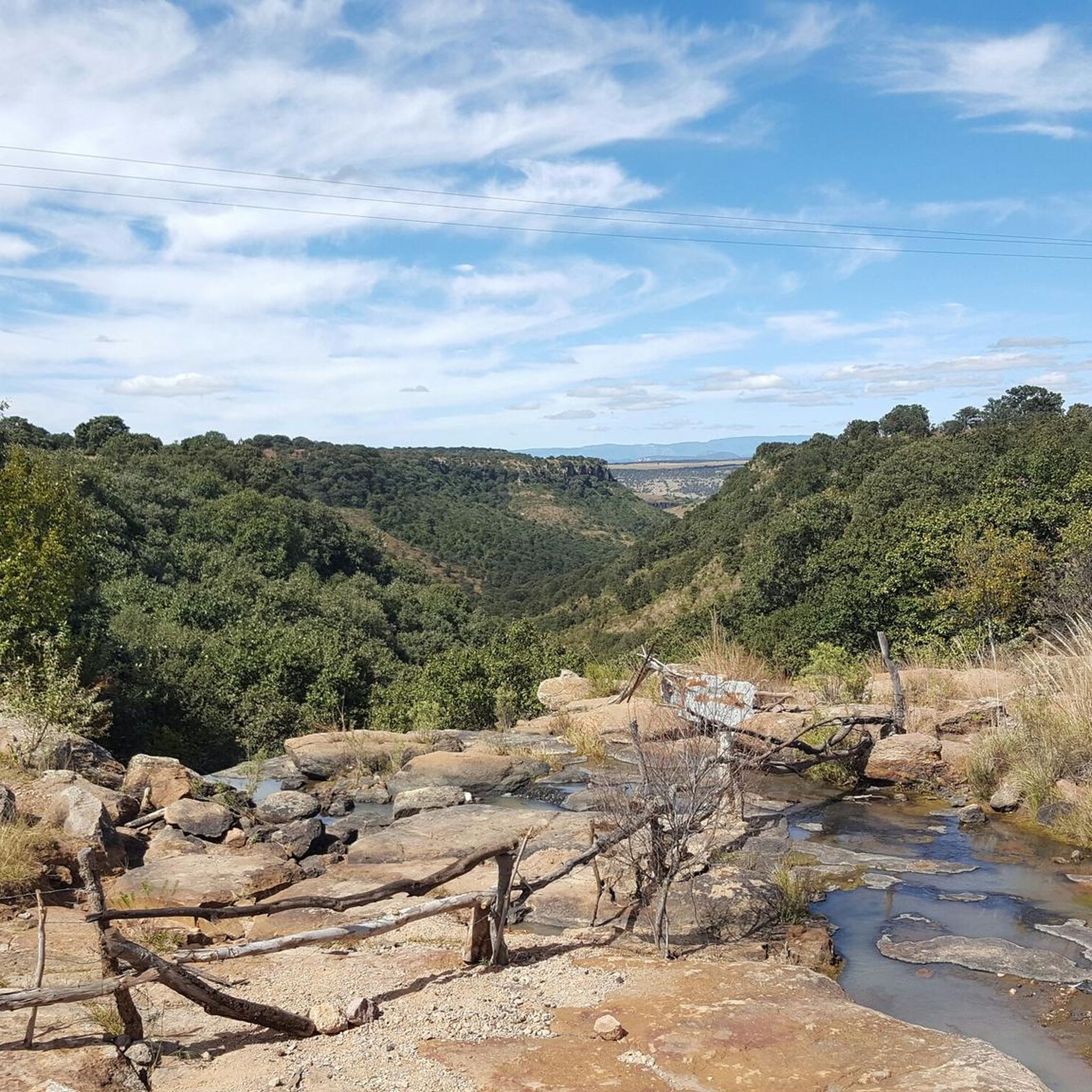
Road Cycling Routes in Mexico
Cycling in Mexico
MTB Trails in Mexico

Mountain Hikes in Mexico
Other adventures in Mexico


Tips from the Community

Monkey Hill (Cerro del Mono) in Sayulita, Nayarit, is one of the most popular hikes in the area thanks to its panoramic views of the Pacific coast. The trail is short but steep in places, leading to a rocky summit with spectacular viewpoints overlooking beaches, jungle, and mountains. It's ideal for a sunset hike; wear sturdy shoes and bring water, as it tends to be hot and there's no shade at the top.
1
0

Challenging, great views, easy to navigate.
0
0

A wonderful place to visit, it's currently easier to access by vehicle (to a certain extent) and with parking. However, if you're someone who enjoys climbing mountains over 4,000 meters from the bottom, I'm sure you'll love the challenge. Don't forget that these are mountains, and weather changes can happen at unexpected times, so it's best to be prepared for anything, bringing hydration and food necessary for the effort and the weather. In the craters, you'll find two bodies of fresh water that form the Laguna del Sol and Laguna de la Luna. In the 1990s, you could dive at altitude in the icy waters. Visibility is very low, so it was done with instruments and good orientation, a dry suit, or a wetsuit for icy waters. Currently, only research personnel can do so with a special permit, as it is an ecological and archaeological reserve. Admission is fee-based, and on weekends, it's very crowded, so be patient and always respect the place. Leave it better than you found it, and enjoy! You can also get there by gravel bike or mountain bike, but achieving this requires good training due to the incline and altitude. Always remember: Respect the Mountain.
2
0
The highest point in Mexico City! A beautiful panoramic view that you simply must experience. Remember to bring enough supplies, no matter which route you take, and don't leave any trash behind. Remember to respect the mountains, and you should be prepared for any eventuality, always alert and enjoying yourself, taking care, and breathing fresh air. Enjoy! ⛰️
1
0

Don't leave your trash up here.
0
0
Your trash goes back with you.
1
0


We hiked this summit early November, the view was spectacular, temperatures were just around freezing at the summit, bring warm clothes. Getting there from the east is quite a climb, you will need your hands but it’s definitely doable. (rocks were mostly not covered in snow). We did the route from the parking then lake la Luna, summit, down by the steep path and then lake del sol in 6h tops, lots of pauses included. I would definitely recommend ! This is the recording we made: https://www.komoot.com/tour/551042236?ref=itd&share_token=aPotckuQ28XBpZ7rYokFekbIm64W95bMizIMSrVssC6FisSpS4
2
0
Frequently Asked Questions
What are some of the highest and most notable mountain peaks in Mexico?
Mexico is home to several impressive peaks. The highest is Pico de Orizaba, a majestic, snow-capped stratovolcano. Other notable peaks include Popocatépetl, an active volcano, and Iztaccíhuatl, known as 'The Sleeping Woman'. The Nevado de Toluca, an extinct stratovolcano, is famous for its crater lakes, and La Malinche offers a rich biodiversity and less crowded climbing experiences.
Which mountain peaks in Mexico are considered challenging for climbers?
Many of Mexico's peaks offer challenging ascents. Pico de Orizaba is a popular destination for experienced mountaineers due to its high elevation and technical glacier sections. Iztaccíhuatl also presents a challenging climb with rocky trails and scrambling. The Nevado de Toluca Summit is another challenging volcano, especially if you choose to climb it from the bottom. The Ascent of Cerro del Muerto is also noted for its challenging routes, some including a via ferrata.
Are there any family-friendly mountain peaks or hikes in Mexico?
While many of Mexico's highest peaks are challenging, there are options for families. For instance, La Malinche is considered an excellent choice for both beginner and intermediate hikers, offering a less strenuous experience compared to the higher volcanoes. For easier hikes in general, you can explore routes mentioned in the Easy hikes in Mexico guide, which includes trails like the Malecón de Puerto Vallarta or the Lago Mayor Circuit.
What natural features can I expect to see on Mexico's mountain peaks?
Mexico's mountain peaks boast diverse natural features. You can find snow-capped summits and glaciers on peaks like Pico de Orizaba. Nevado de Toluca is unique for its two high-altitude crater lakes, Laguna del Sol and Laguna de la Luna. Many peaks, such as La Malinche and those in the Ajusco mountain range like Cruz del Marqués, feature pine forests, alpine meadows, and offer panoramic viewpoints.
Are there historical or cultural sites associated with Mexico's mountain peaks?
Yes, many of Mexico's peaks hold significant cultural and historical importance. Pico de Orizaba has deep mythological roots in pre-Hispanic cultures. Iztaccíhuatl is steeped in an ancient Aztec legend. The Nevado de Toluca area also features archaeological sites. Additionally, the Cerro Tláloc Summit is notable for its associated archaeological site.
What outdoor activities can I do near Mexico's mountain peaks?
Beyond climbing and hiking, Mexico's mountainous regions offer a variety of outdoor activities. Near peaks like Nevado de Toluca, you can enjoy mountain biking and horseback riding. For cycling enthusiasts, there are numerous MTB Trails in Mexico and Gravel biking in Mexico routes available, catering to various difficulty levels.
When is the best time to visit Mexico's mountain peaks?
The best time to visit Mexico's mountain peaks generally depends on the specific peak and your activity. For snow-capped peaks and mountaineering, winter months (roughly November to March) can offer stable weather for climbing, though temperatures will be freezing at higher altitudes. For hiking and general exploration, the dry season from November to May is often preferred, avoiding the heavy rains of summer. During winter, peaks like Nevado de Toluca can be snow-capped, creating dramatic landscapes.
Do I need permits to hike or climb certain mountain peaks in Mexico?
Yes, for some of Mexico's mountain peaks, especially those within national parks or protected areas, permits or fees may be required. For example, access to the Nevado de Toluca is fee-based, particularly on weekends. It's always advisable to check the specific requirements for each peak or national park before your visit, as regulations can change, especially for sensitive ecological or archaeological reserves.
Which mountain peaks are easily accessible from Mexico City?
Several significant mountain peaks are relatively accessible from Mexico City. The Nevado de Toluca is about two hours away, making it a popular day trip destination. The Ajusco mountain range, which includes peaks like Pico del Águila and Cruz del Marqués, is also located near Mexico City and offers spectacular panoramic views.
What is the difference in difficulty between Pico de Orizaba and Iztaccíhuatl?
Both Pico de Orizaba and Iztaccíhuatl are challenging climbs, but Pico de Orizaba is generally considered more demanding. As Mexico's highest peak, Pico de Orizaba involves significant elevation gain and often requires technical skills for glacier sections, including the use of crampons and an ice axe. Iztaccíhuatl, while still challenging with rocky trails and scrambling, is often seen as a good training ground for higher peaks, though it should not be underestimated.
What kind of wildlife can be found on Mexico's mountains?
Mexico's diverse mountain ecosystems support a variety of wildlife. While specific sightings depend on the peak and elevation, you can expect to find a range of birds, small mammals, and insects. Areas like La Malinche National Park are known for their rich biodiversity. Always observe wildlife from a respectful distance and avoid disturbing their natural habitats.
Are there less crowded mountain peaks to explore in Mexico?
Yes, if you prefer a quieter experience, some peaks are less frequented than the most famous ones. La Malinche is often cited as offering less crowded climbing experiences while still providing panoramic views and a rich natural environment. Exploring peaks within national parks during weekdays or off-peak seasons can also help you find a more serene experience.
Most popular routes in Mexico
Most popular attractions in Mexico

Get inspired with the komoot mobile app


Didn’t find what you were looking for?
Discover Mexico’s best peaks and summits by region:
Explore more
See even more amazing summits in Mexico with these guides:
