The best walks and hikes around Harmony
5.0
(1)
59
hikers
24
hikes
Hiking around Harmony offers routes through a landscape of wooded preserves, state parks, and conservation areas. The region is characterized by rolling hills and well-maintained paths that wind through forests and past scenic farmland. With generally low elevation changes, the trails are accessible for hikers of various abilities.
Best hiking trails around Harmony
- The most popular hiking route is Steere Hill & Heritage Park loop — Steere Hill Farm Conservation Area, a 4.4 mile (7.1 km) trail that takes…
Last updated: August 17, 2026
4
hikers
6.33km
01:50
190m
120m
Easy hike. Great for any fitness level. Easily-accessible paths. Suitable for all skill levels.
1
hikers
2.80km
00:43
20m
10m
Easy hike. Great for any fitness level. Easily-accessible paths. Suitable for all skill levels.

Sign up for free
3.61km
00:58
40m
60m
Easy hike. Great for any fitness level. Easily-accessible paths. Suitable for all skill levels.
5.12km
01:20
30m
50m
Easy hike. Great for any fitness level. Easily-accessible paths. Suitable for all skill levels.
748m
00:12
0m
10m
Easy hike. Great for any fitness level. Easily-accessible paths. Suitable for all skill levels.
Get access to more routes and recommendations from other explorers.
Sign up for free
Already have an account?
Our route recommendations are based on thousands of hikes, rides, and runs completed by other people on komoot.
Start today with a free account
Your next adventure awaits.
Login or Signup
Popular around Harmony

Tips from the Community

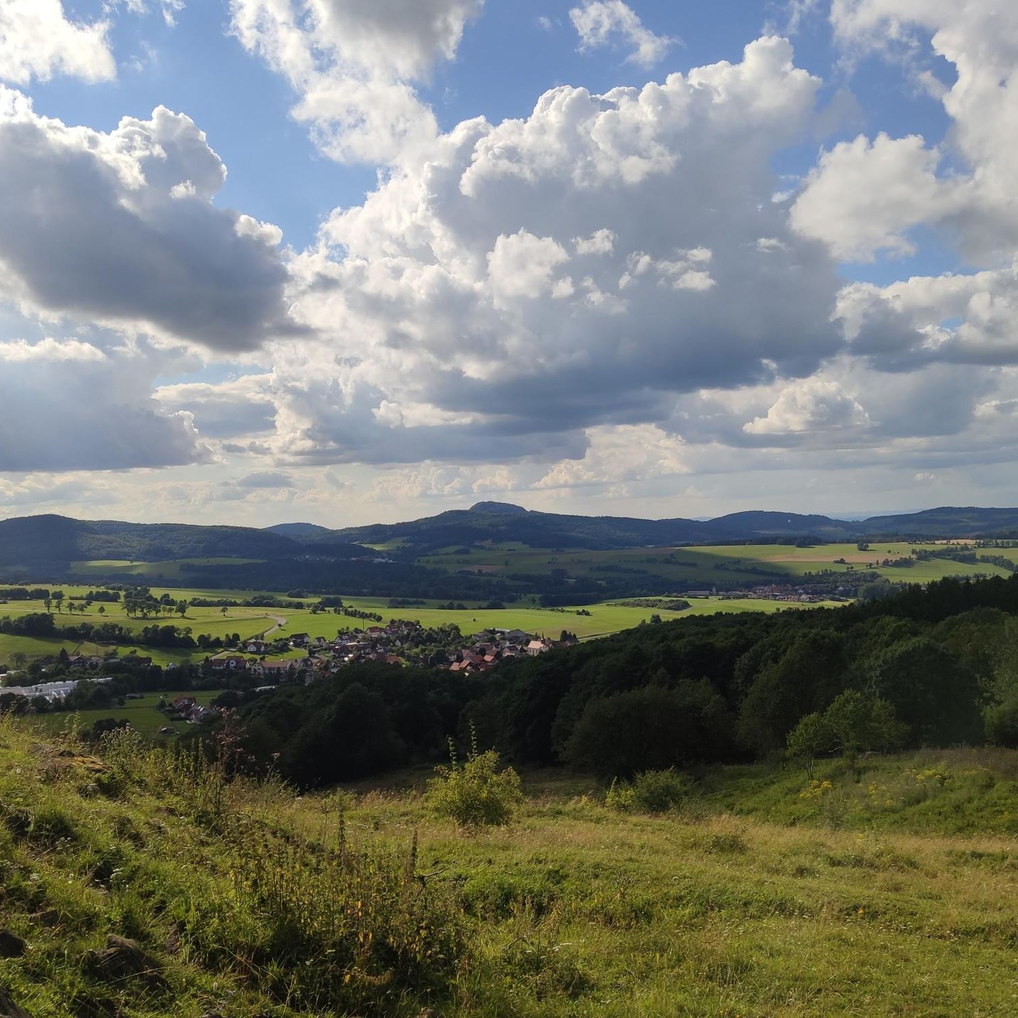
Although only about 400 feet high, Snake Den offers a stunning viewpoint over the surrounding park and areas. Visit during the fall to be spoiled with colorful fall foliage.
0
0
Frequently Asked Questions
Are the hiking trails around Harmony suitable for beginners?
Yes, the area is very welcoming for beginners. Most of the trails are rated as easy, featuring well-maintained paths and gentle elevation changes. A great starting point is the Stillwater Scenic Trail — Smithfield, which is a relatively short and flat route.
Can I bring my dog on the trails?
Most parks and preserves in the region, like state parks and conservation areas, generally allow dogs on a leash. However, regulations can change, so it's always a good practice to check the specific rules for the park you plan to visit before you go.
Are there any family-friendly or kid-friendly hikes near Harmony?
Definitely. The trails around Harmony are generally well-suited for families due to their low difficulty. The Wolf Hill Forest Preserve loop is a good option, offering an engaging walk through the woods that isn't too long for younger hikers.
What kind of scenery can I expect on the trails?
The landscape around Harmony is characterized by a pleasant mix of wooded preserves, conservation areas, and scenic farmland. You'll be hiking on paths that wind through rolling hills and quiet forests, offering a peaceful outdoor experience.
Are there any circular or loop trails available?
Yes, there are several loop trails that bring you back to your starting point. For a great circular route that explores a conservation area, consider the Steere Hill & Heritage Park loop.
What are the trail conditions like?
The paths are generally well-maintained and clearly marked, making for straightforward navigation. You'll encounter a mix of forest floors and established trails through parks and preserves.
How many hiking trails are there around Harmony?
There are over a dozen curated hiking routes to explore around Harmony. The selection ranges from short walks to more substantial loops, with the vast majority being easy-rated trails suitable for all skill levels.
Are there any hikes with waterfalls in the Harmony area?
The primary natural features of the trails around Harmony are its rolling woodlands and pastoral scenery. While the routes offer beautiful nature, they are not specifically known for waterfalls.
What is a good option for a moderate day hike?
While most trails in the area are rated easy, you can find hikes that offer a bit more distance. The Snake Den Trail — Snake Den State Park is one of the longer easy routes, providing a satisfying day hike through the park's natural landscape.
Is parking available at the trailheads?
The main state parks and forest preserves in the area typically provide designated parking areas near the trailheads. It's a good idea to arrive earlier on weekends or holidays, as these spots can fill up.
What is the best time of year to hike around Harmony?
Hiking is enjoyable here for most of the year. Spring offers budding trees and pleasant temperatures, summer provides lush green forests, and autumn is spectacular with fall foliage. Winters can be cold, but the trails are often quiet and peaceful.
Most popular routes around Harmony
Most popular attractions around Harmony

Get inspired with the komoot mobile app


Explore more
Browse the best Hikes in other regions.
