The best MTB trails around Greene
4.0
(6)
36
riders
3
rides
Mountain biking around Greene offers a diverse landscape characterized by woodlands, river systems, and a mix of paved and unpaved trails. The region features varied terrain, from relatively flat paths suitable for leisurely rides to more challenging routes with gentle elevation changes. Trails often wind through natural preserves and along scenic waterways, providing opportunities to explore different natural habitats.
Best mountain bike trails around Greene
- The most popular mountain bike trail is Burnt Sawmill Road & Sawmill Trail loop,…
Last updated: August 17, 2026
2
riders
15.4km
01:16
100m
100m
This easy 9.5-mile mountain biking loop in Big River State Management Area offers diverse terrain, forest scenery, and historical elements.
15.2km
01:15
50m
50m
An easy 9.5-mile (15.2 km) mountain biking route in Greene, Rhode Island, with 170 feet (52 metres) of elevation gain.

Sign up for free
5.0
(4)
10
riders
Easy mountain bike ride. Great for any fitness level. Suitable for all skill levels.
5
riders
12.4km
01:02
100m
100m
Easy mountain bike ride. Great for any fitness level. Suitable for all skill levels.
2
riders
53.6km
03:11
460m
460m
Moderate mountain bike ride. Good fitness required. Suitable for all skill levels.
Our route recommendations are based on thousands of hikes, rides, and runs completed by other people on komoot.
Start today with a free account
Your next adventure awaits.
Login or Signup


Tips from the Community

The Kate Randall Road is a quiet gravel and dirt road that runs north-south from the Central Pike, just west of the Barden Reservoir. This is a great place for a quiet stroll around the lake.
0
0

Originally this area was designated to be a reservoir in order to provide drinking water for the area. For whatever reason these plans never came to fruition and the 8,300-acre site has seen hikers, bikers, and motocross riders create dozens of trails around the forest, rivers, and ponds. Take your pick of trails but be sure to have your map downloaded since it's easy to get turned around with all the crisscrossing trails.
1
0

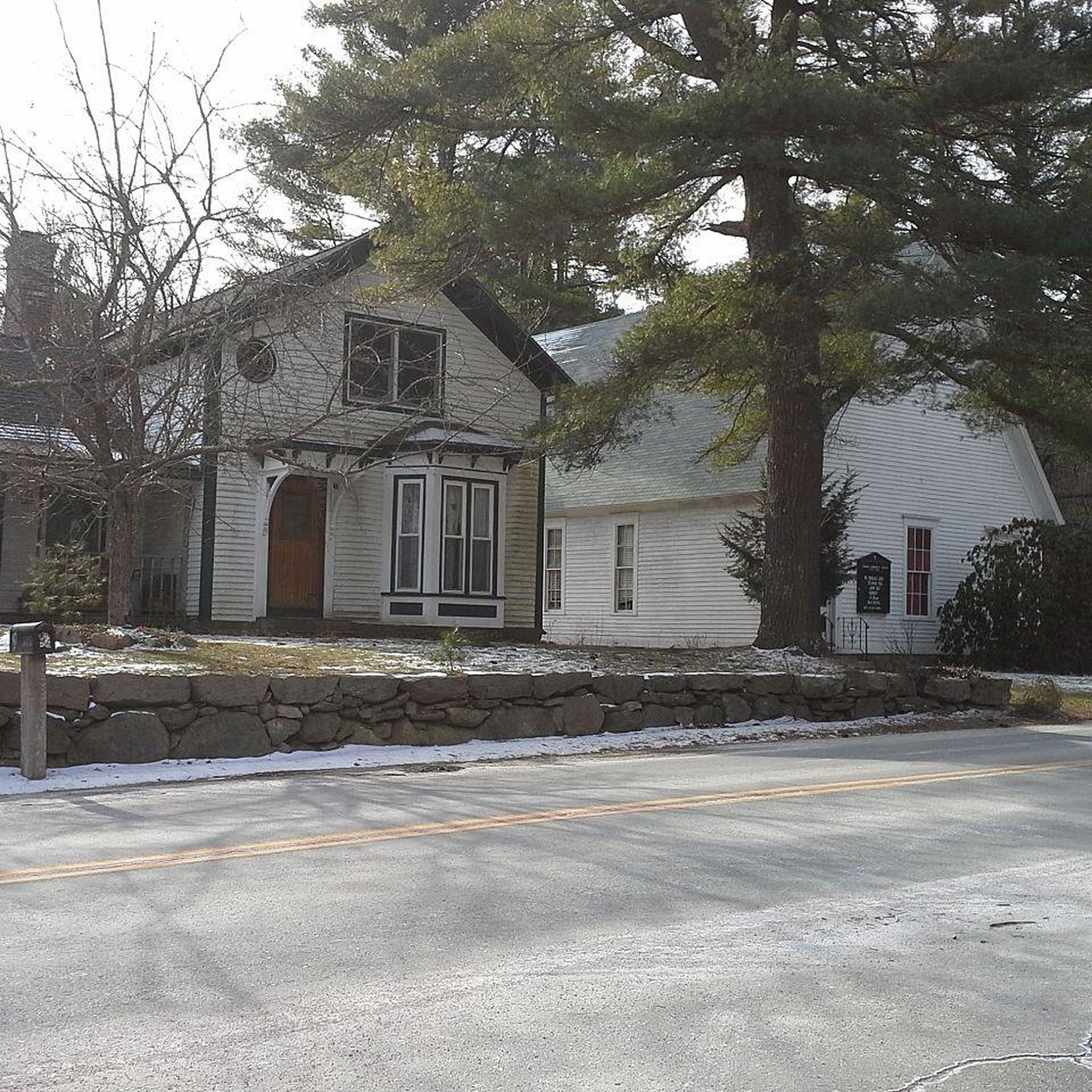
Just off the road, you'll find an abandoned barn. Take a break from your bike ride and explore this spot.
0
0

Burnt Sawmill Road is an abandoned logging road running north-south through Big River State Management Area. It is mostly unpaved.
0
0

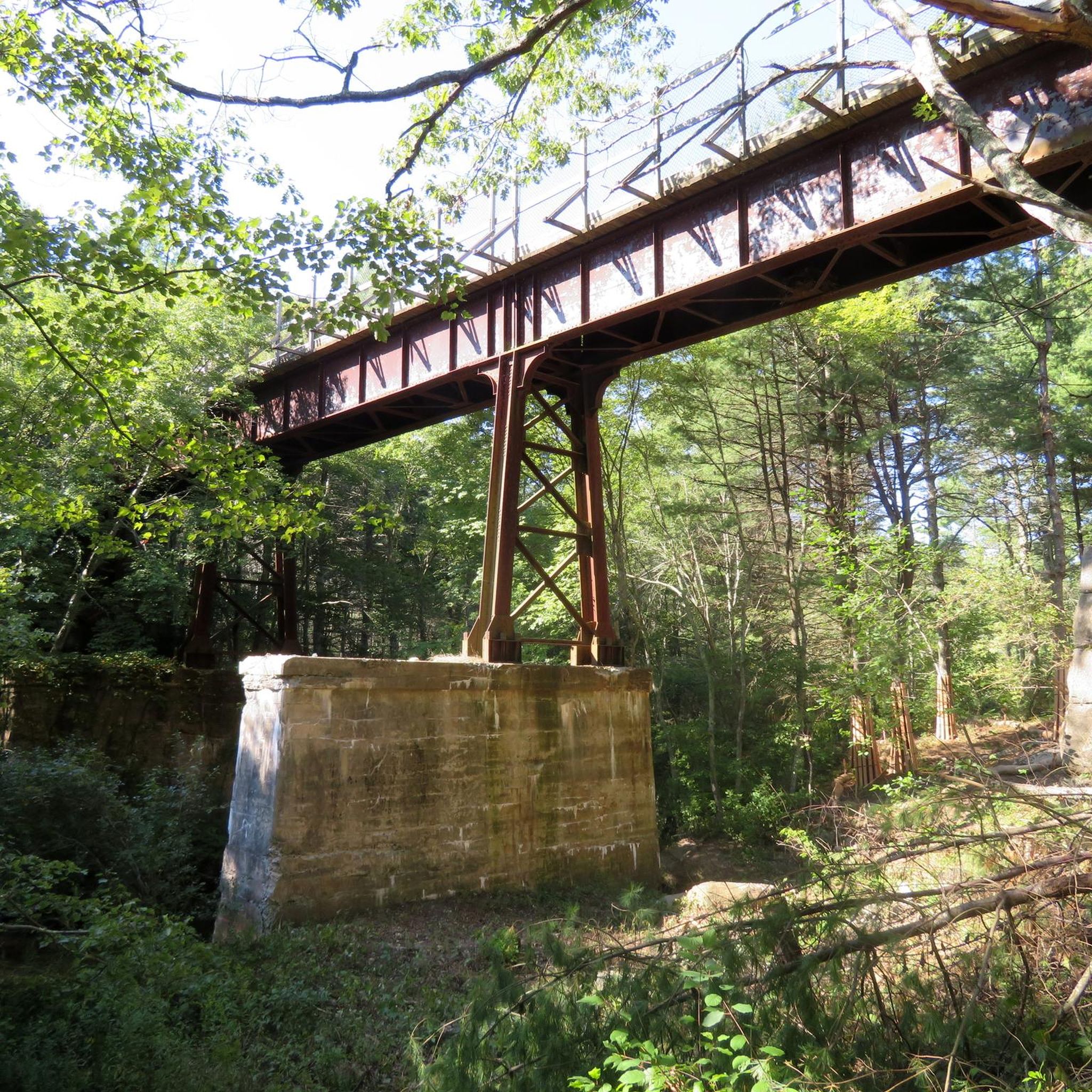
The Trestle Trail is best known for its 5-mile paved path that shares a route with the Coventry Greenway. This extra section west of the Moosup River leaves the pavement and becomes a rough double-track road. The path is utilized by hikers, runners, cyclists, and ATVs. It also offers access to the Carbuncle Pond area.
0
0
Burnt Sawmill Road is an abandoned logging road running north-south through Big River State Management Area. It is mostly unpaved.
0
0
The Trestle Trail is best known for its 5-mile paved path that shares a route with the Coventry Greenway. This extra section west of the Moosup River leaves the pavement and become a rough double-track road. The path is utilized by hikers, runners, cyclists, and ATVs. It also offers access to the Carbuncle Pond area.
0
0

You might get one of the better views of Sweet Pond from here. There's a rideable "sort-of loop" around it, but the trail gets pretty far away from the water in places.
0
0
Frequently Asked Questions
What kind of mountain biking can I expect in Greene?
Greene offers a diverse mountain biking experience, characterized by woodlands, river systems, and a mix of paved and unpaved trails. You'll find varied terrain, from relatively flat paths suitable for leisurely rides to more challenging routes with gentle elevation changes. Trails often wind through natural preserves and along scenic waterways, providing opportunities to explore different natural habitats.
Are there any easy mountain bike trails suitable for beginners or families in Greene?
Yes, Greene has several easy mountain bike trails perfect for beginners or family outings. For instance, the Burnt Sawmill Road & Sawmill Trail loop is an easy 9.6-mile ride through wooded areas. Another great option is the Trestle Trail, an easy 9.5-mile path that follows a former railway line, offering a smooth surface and scenic views.
Are there any circular mountain bike routes in Greene?
Yes, Greene features several circular mountain bike routes. A popular option is the Burnt Sawmill Road – Tarbox Pond loop from Mishnock Pond, an 18.3-mile moderate trail that leads through woodlands and past ponds. Another easy loop is the Big River Management Area – Burnt Sawmill Road loop from Mishnock Pond.
What are some interesting natural attractions or landmarks I can see while mountain biking in Greene?
Greene's trails often pass by beautiful natural features. You can explore areas like Big River Management Area, which offers diverse landscapes. There are also several scenic ponds and lakes nearby, such as Breakheart Pond and Tillinghast Pond. For a unique sight, consider visiting Ponaganset Falls or Stepstone Falls.
What do other mountain bikers say about the trails in Greene?
The mountain bike routes in Greene are highly rated by the komoot community, with an average score of 4.0 stars from 5 reviews. Many riders appreciate the varied terrain, the peaceful wooded areas, and the scenic views along the river systems and ponds.
Are there any trails that follow old railway lines in Greene?
Yes, the Trestle Trail is an excellent example. This easy 9.5-mile path follows a former railway line, providing a smooth surface and scenic views, making it a popular choice for a relaxed ride.
What kind of wildlife might I encounter on the mountain bike trails in Greene?
Given Greene's landscape of woodlands, natural preserves, and river systems, you might encounter various local wildlife. Keep an eye out for birds, deer, and other small mammals, especially when riding through less developed areas or during quieter times of the day.
Are there any moderate mountain bike trails for riders looking for a bit more challenge?
Yes, for those seeking a moderate challenge, the Burnt Sawmill Road – Tarbox Pond loop from Mishnock Pond is a great option. This 18.3-mile trail offers more elevation changes and a longer duration, leading through woodlands and past ponds.
What is the overall difficulty level of mountain biking in Greene?
Mountain biking in Greene caters to various skill levels. You'll find a good mix of easy and moderate trails. There are currently no difficult trails listed, making it a great destination for those who enjoy accessible and moderately challenging rides through natural settings.
How many mountain bike routes are available in Greene?
There are several mountain bike routes available in Greene, offering options for different ability levels. The komoot community has mapped out and shared a total of 5 routes in the area, including easy and moderate options.
Are there any trails that pass by lakes or ponds in Greene?
Absolutely. Many routes in Greene wind through areas rich with water features. For example, the Burnt Sawmill Road – Tarbox Pond loop from Mishnock Pond takes you past scenic ponds. You can also find routes near Breakheart Pond and Tillinghast Pond.
Most popular attractions around Greene

Get inspired with the komoot mobile app


Explore more
Browse the best MTB trails in other regions.
