The best walks and hikes around Eschweiler
4.5
(1703)
7,796
hikers
408
hikes
Hiking trails around Eschweiler are characterized by diverse landscapes, including the rolling hills of the Rhineland and the Rur river valley. The region features the Blausteinsee, a large lake formed from a former open-cast mine, and the re-naturalized Inde River. Extensive forest areas, such as the Eschweiler Forest, provide a network of trails for various outdoor activities.
Best hiking trails around Eschweiler
- The most popular hiking route is WasserWeg Blausteinsee, an easy 4.0 miles (6.5 km) trail that takes 1 hour 40 minutes to complete, circling the impressive Blausteinsee.
- Another top favourite among local hikers is Stream in the Eschweiler Forest – Koppweiher and Nebensee loop from Eschweiler, an easy 4.0 miles (6.5 km) path. This route leads through the Eschweiler Forest, featuring the Koppweiher and Nebensee.
- Local hikers also love the Pond in the Eschweiler Forest – Duffenter Pond loop from Hastenrath, a 5.9 miles (9.5 km) trail leading through the Eschweiler Forest, often completed in about 2 hours 33 minutes.
- Hiking around Eschweiler is defined by the Blausteinsee, the Inde River, and the rolling hills of the Rhineland. The network offers options for different ability levels, from easy lakeside strolls to moderate forest paths.
- The routes in Eschweiler are highly rated by the komoot community with an average score of 4.5 stars from over 1300 reviews. More than 6000 hikers have used komoot to explore Eschweiler's varied terrain.
Last updated: October 16, 2026
4.5
(769)
2,726
hikers
6.51km
01:41
30m
30m
Easy hike. Great for any fitness level. Easily-accessible paths. Suitable for all skill levels.
4.6
(65)
178
hikers
Easy hike. Great for any fitness level. Easily-accessible paths. Suitable for all skill levels.

4.7
(26)
112
hikers
9.49km
02:34
120m
120m
Moderate hike. Good fitness required. Easily-accessible paths. Suitable for all skill levels.
4.2
(13)
61
hikers
9.20km
02:26
90m
90m
Moderate hike. Good fitness required. Easily-accessible paths. Suitable for all skill levels.
4.6
(17)
78
hikers
3.15km
00:50
30m
30m
Easy hike. Great for any fitness level. Easily-accessible paths. Suitable for all skill levels.
Get access to more routes and recommendations from other explorers.
Already have an account?
Our route recommendations are based on thousands of hikes, rides, and runs completed by other people on komoot.
Start today with a free account
Your next adventure awaits.
Popular around Eschweiler
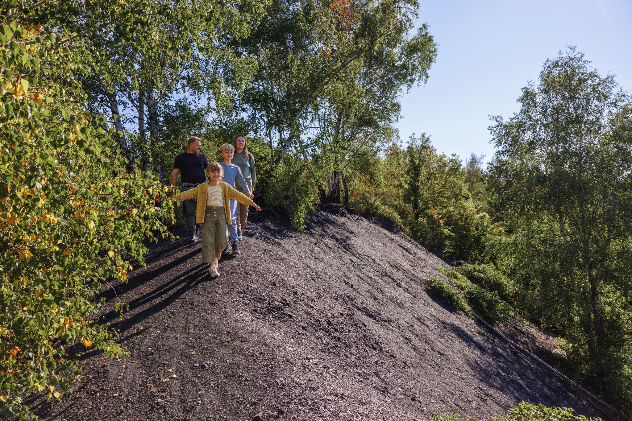
From coal to natural treasures – hiking in the Aachen Region
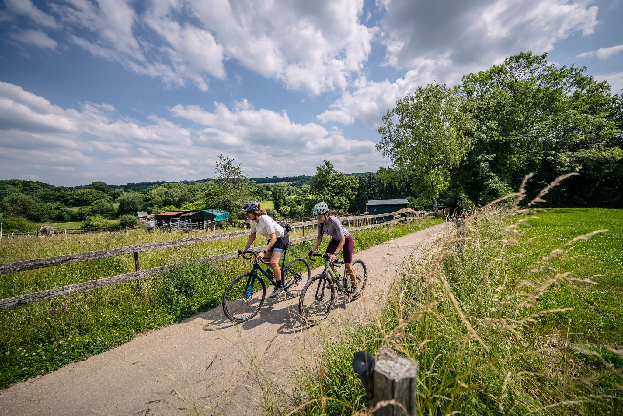
Gravel at its finest – rides around Aachen
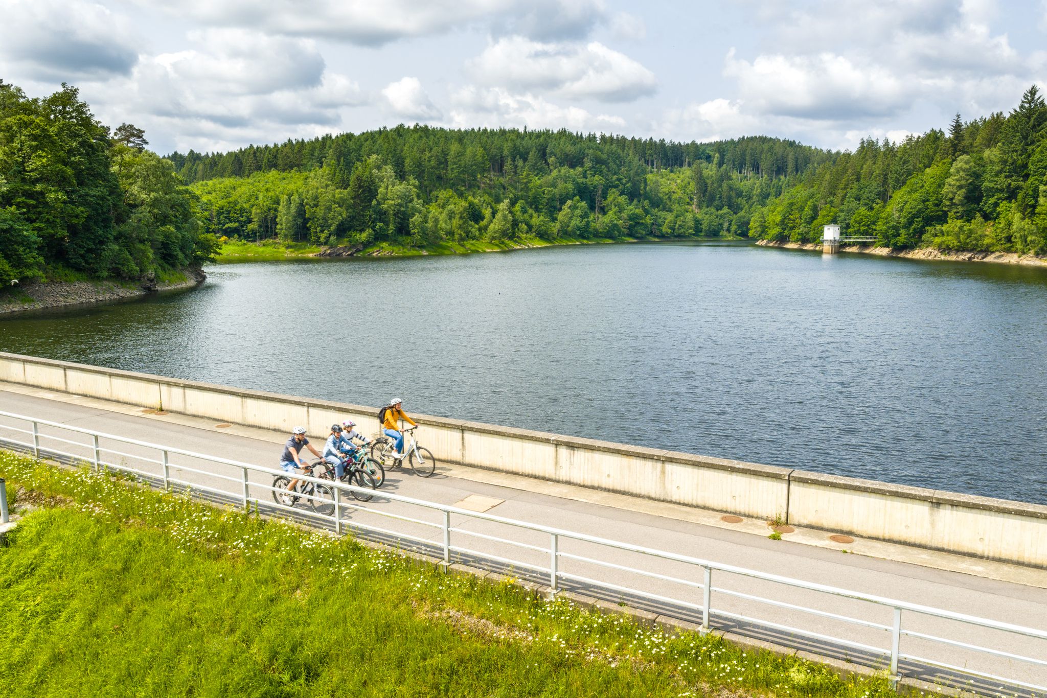
Aachen Time Loops – cycling from the past to the future
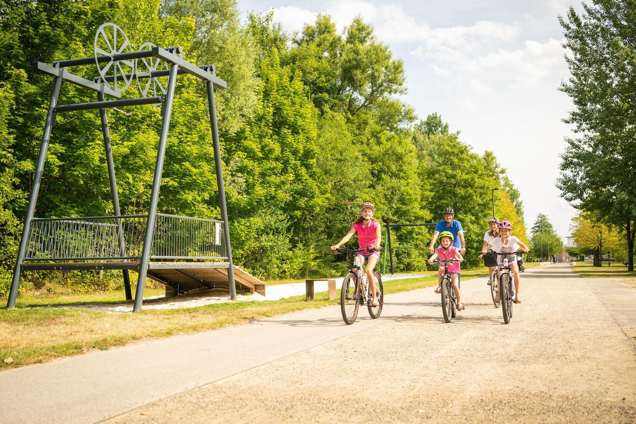
Between mining and castles – bike Tours in the Aachen region
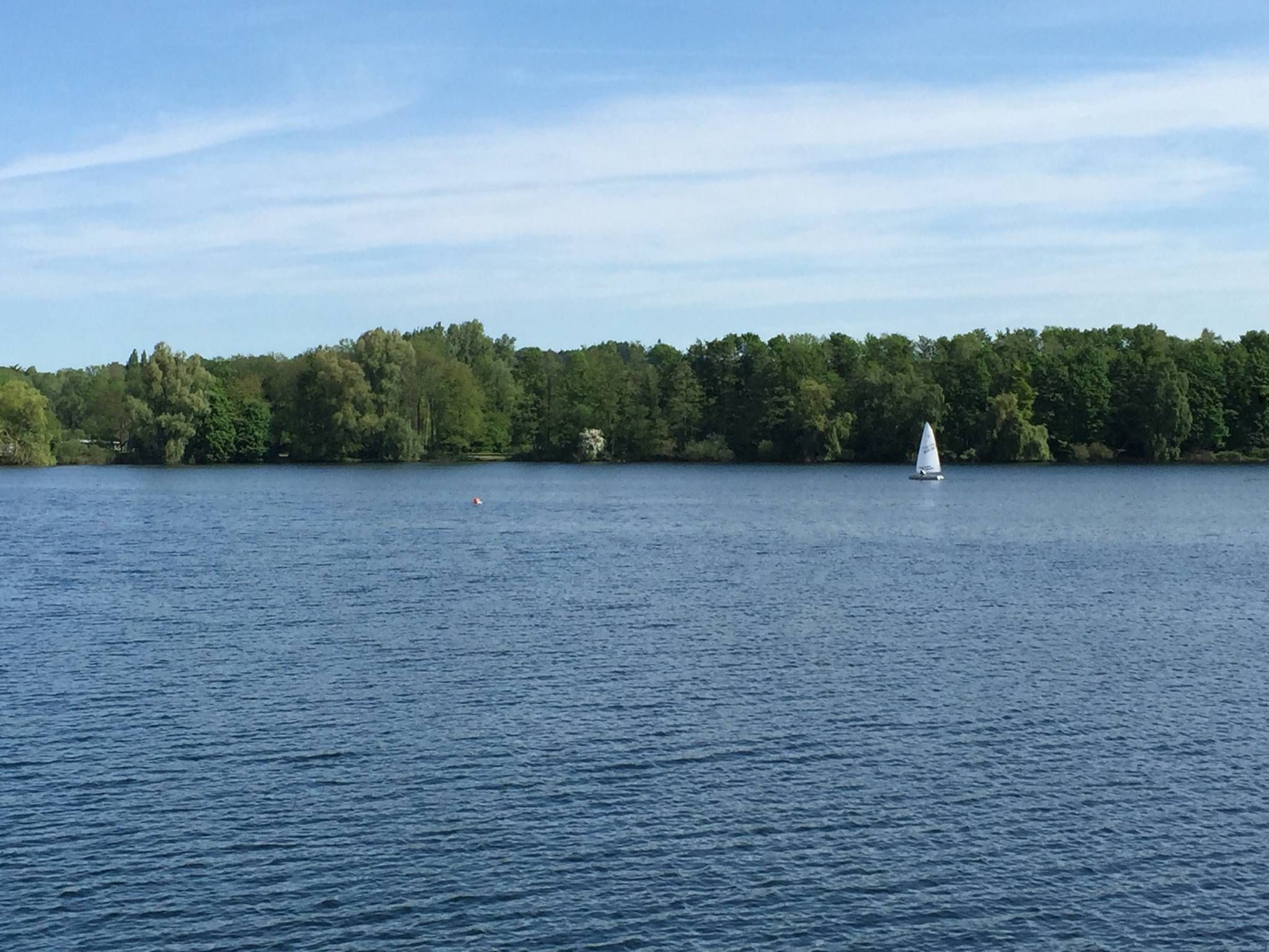
The most beautiful swimming lakes in North Rhine-Westphalia
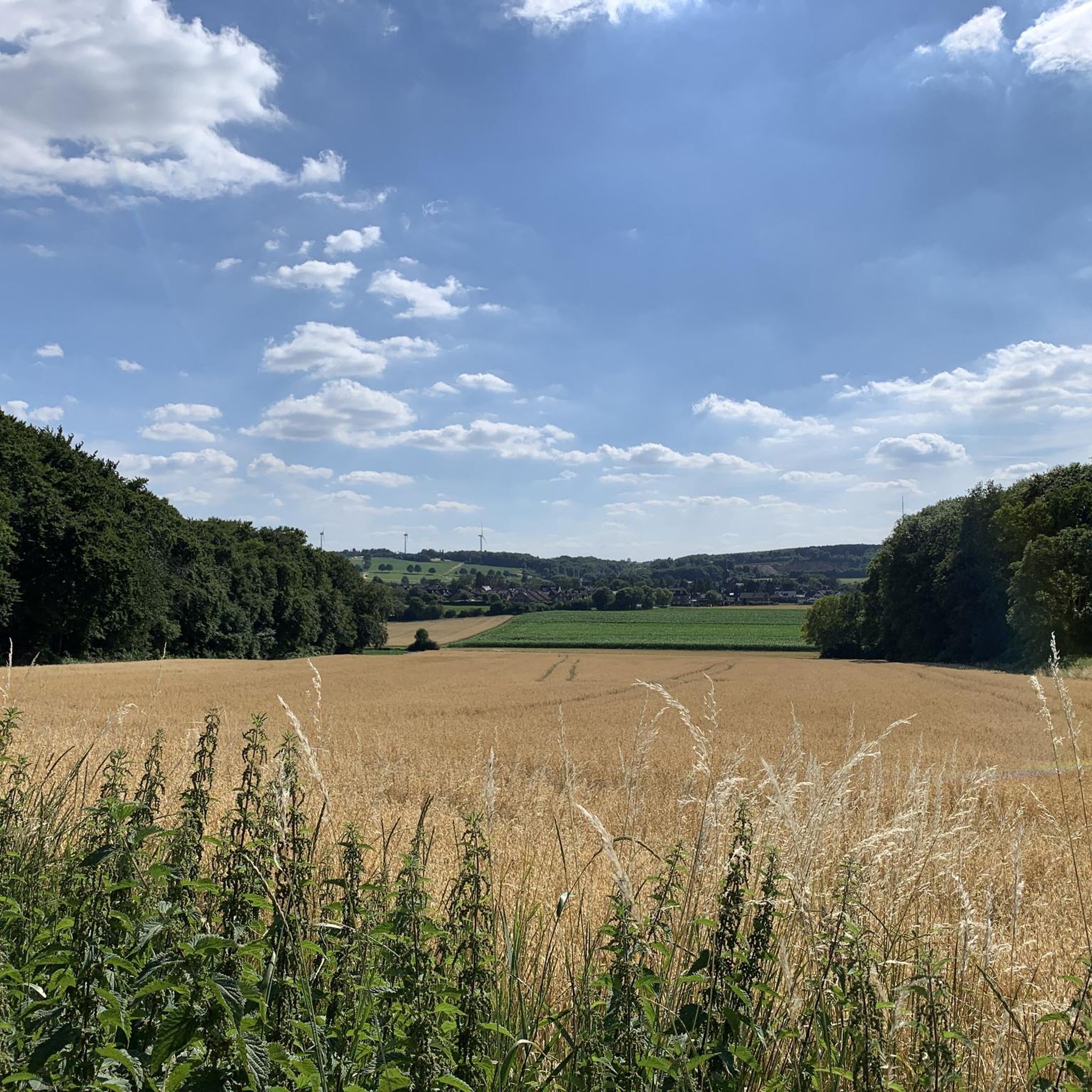
Cycling around Eschweiler
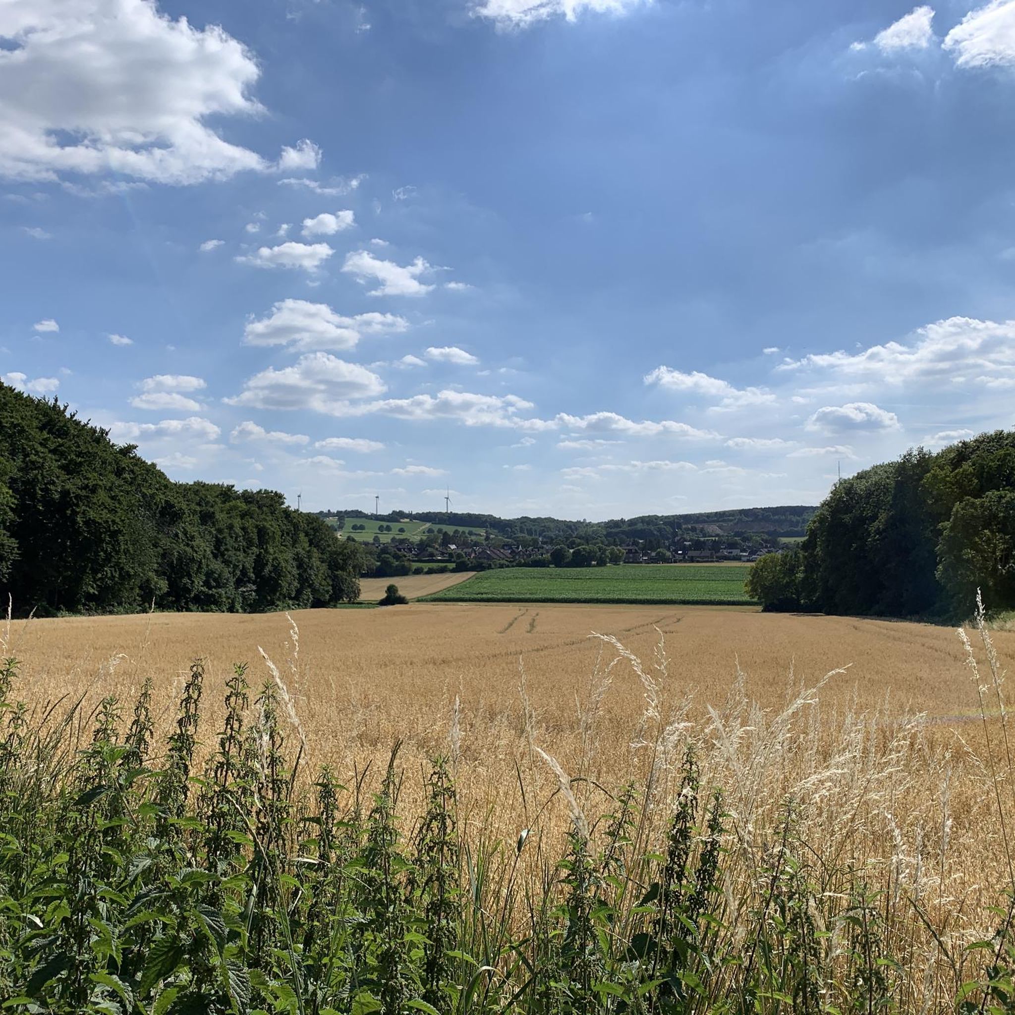
Road Cycling Routes around Eschweiler
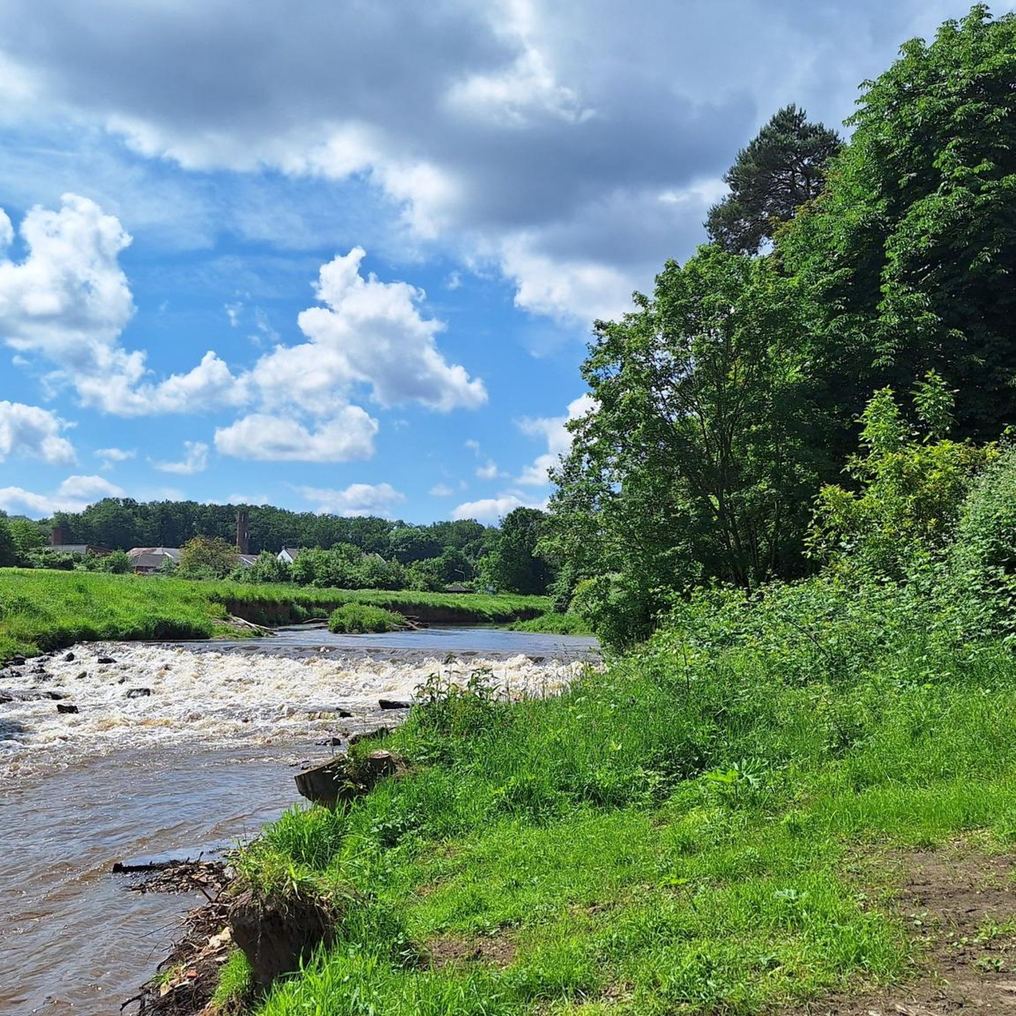
Running Trails around Eschweiler
MTB Trails around Eschweiler

Gravel biking around Eschweiler
Other adventures around Eschweiler


Tips from the Community

Hastenrath is a rural, southern district of the city of Eschweiler in the Aachen city region in North Rhine-Westphalia. Key points about Hastenrath: • History & incorporation: Originally, Hastenrath was an independent municipality in the Düren district. On October 1, 1932, the town lost its independence and was incorporated into the city of Eschweiler. • Geography & surroundings: The town is located in the south of Eschweiler. Immediately to the west of the built-up area, extensive orchards and the Eschweiler city forest (Eschweiler Stadtwald) stretch out. Together with the neighboring town of Scherpenseel, Hastenrath forms a closely-knit village community.
0
0
The miner figure "Arthur Oster" is a monument and a hiking highlight near the Inden open-cast mine in North Rhine-Westphalia. • Background: The statue was erected to commemorate and honor the Inden lignite mine. • Namesake: The figure is named after Arthur Oster, the long-standing director of the Inden open-cast mine (RWE Power), who retired in 2012. Mr. Oster was known for placing great value on mining traditions and actively maintaining them. • Significance: The monument symbolizes the connection to the region, the Rhenish mining history, and the traditional miner's greeting "Glück auf!".
1
0


It's great that time is being taken for this in the forestry sector!
0
0

Blaustein Lake is a beautifully situated place. Ideal for relaxing.
0
0


Beautiful place, both touristy, calm and wild
0
0

Very nice big trees that provide good shade :)
0
0
Frequently Asked Questions
How many hiking trails are available in Eschweiler?
Eschweiler offers a wide variety of hiking opportunities, with nearly 300 trails to explore. The majority of these, 194 routes, are considered easy, while 95 are moderate, and a few are more challenging.
What is the best time of year to go hiking in Eschweiler?
The best seasons for hiking in Eschweiler are spring and autumn. During these times, the mild temperatures and the blossoming nature or colorful foliage enhance the natural beauty of the area, making for a more enjoyable experience.
Are there any family-friendly hiking routes in Eschweiler?
Yes, Eschweiler has several routes suitable for families. The WasserWeg Blausteinsee is an easy 4.0-mile (6.5 km) trail that circles the impressive Blausteinsee, offering captivating views. Another great option is the Kaiserstuhl Trail, a circular route approximately seven kilometers long, ideal for a family outing.
Can I bring my dog on the hiking trails in Eschweiler?
Many trails in Eschweiler are dog-friendly, allowing you to enjoy the natural surroundings with your canine companion. It's always recommended to keep dogs on a leash, especially in nature reserves or areas with wildlife, and to check specific trail regulations before you go.
What kind of natural features can I expect to see while hiking in Eschweiler?
Eschweiler's hiking trails showcase diverse natural features. You can explore the impressive Blausteinsee, a large lake formed from a former open-cast mine, or follow the re-naturalized Inde River, which is now a vibrant habitat for flora and fauna. The Eschweiler Forest also offers extensive woodlands with features like the Koppweiher and Nebensee.
Are there any circular hiking routes in Eschweiler?
Yes, Eschweiler offers several circular routes. For instance, the Stream in the Eschweiler Forest – Koppweiher and Nebensee loop from Eschweiler is an easy 4.0-mile (6.5 km) path. Another popular option is the Pond in the Eschweiler Forest – Duffenter Pond loop from Hastenrath, which is a moderate 5.9-mile (9.5 km) trail.
What historical or cultural sights can I find along the hiking trails?
Eschweiler's trails often integrate cultural history. Routes around the Blausteinsee and the WasserWeg Omerbach/Inde feature information boards about coal, industry, and past places. You can also encounter historical structures such as Laufenburg Castle and Wilhelmstein Castle along some routes, adding a cultural dimension to your hike.
Are there any long-distance hiking trails accessible from Eschweiler?
Yes, Eschweiler provides access to the renowned Eifelsteig, a long-distance hiking trail stretching 313 kilometers from Aachen to Trier. The stage from Eschweiler to Stolberg is particularly popular, winding through charming villages and picturesque forests, offering spectacular views.
What do other hikers say about the trails in Eschweiler?
The routes in Eschweiler are highly rated by the komoot community, with an average score of 4.5 stars from over 1300 reviews. Hikers often praise the diverse landscapes, the well-maintained paths, and the unique blend of natural beauty and historical context, especially around the Blausteinsee and the Eschweiler Forest.
Are there good viewpoints or scenic spots along the trails?
Absolutely. The trails around the Blausteinsee offer captivating views of the lake itself. The Indepark, a transformed former open-cast mining area, provides impressive views of lakes and green spaces. Additionally, the rolling hills of the Rhineland surrounding Eschweiler offer numerous scenic spots and panoramic vistas.
Is parking available near the hiking trailheads in Eschweiler?
Yes, parking is generally available near popular hiking trailheads in Eschweiler, especially around key areas like the Blausteinsee and access points to the Eschweiler Forest. Specific parking information can often be found on individual route descriptions or local tourism websites.
Can I reach hiking trails in Eschweiler using public transport?
Eschweiler is part of Germany's StädteRegion Aachen, which typically has good public transport connections. Many trailheads, especially those closer to urban areas or major attractions, are accessible by bus or train. It's advisable to check local public transport schedules for specific routes and stops near your desired starting point.
Most popular routes around Eschweiler
Most popular attractions around Eschweiler

Get inspired with the komoot mobile app


Explore more
Browse the best Hikes in other regions.
