The best cycling routes around Mont Clare
4.6
(82)
985
riders
43
rides
Touring cycling around Mont Clare is characterized by its accessible multi-use trails that follow the Schuylkill River. The region features generally flat routes built on former railroad rights-of-way, offering scenic views along the waterway. Cyclists can explore historical sites like Lock 60 and connect to various parks and natural areas. The landscape primarily consists of riverine environments, wooded sections, and open parklands.
Best touring cycling routes around Mont Clare
- The most popular touring cycling route is View from Sullivan's Bridge…
Last updated: October 15, 2026
5.0
(2)
56
riders
25.0km
01:44
180m
180m
Moderate bike ride. Good fitness required. Mostly paved surfaces. Suitable for all skill levels.
5.0
(2)
44
riders
63.8km
04:27
450m
450m
Moderate bike ride. Good fitness required. Mostly paved surfaces. Suitable for all skill levels.

44
riders
Easy bike ride. Great for any fitness level. Mostly paved surfaces. Suitable for all skill levels.
5.0
(1)
18
riders
25.7km
01:36
210m
210m
Moderate bike ride. Good fitness required. Mostly paved surfaces. Suitable for all skill levels.
4.5
(4)
26
riders
30.0km
02:17
130m
130m
Moderate bike ride. Good fitness required. Mostly paved surfaces. Suitable for all skill levels.
Get access to more routes and recommendations from other explorers.
Already have an account?
Our route recommendations are based on thousands of hikes, rides, and runs completed by other people on komoot.
Start today with a free account
Your next adventure awaits.

Tips from the Community

This is a perfect spot to access the Schuylkill River Trail. At this trailhead, you'll find a dog park and a picnic area—an excellent place to start your journey or turn around and head back.
1
0

This memorial arch was deliberately designed to resemble a simplified version of the Arch of Titus in Rome, Italy; it commemorates the arrival of George Washington and his Continental Army to Valley Forge.
0
0

The Lower Perkiomen Valley Park is a 107 acre park in Upper Providence Township. From the park, there is access to the Perkiomen Trail, great views of the Perkiomen Creek and several nature trails.
0
0
The Perkiomen Trail is a 20-mile-long trail that follows the Perkiomen Creek. It is popular with cyclists, hikers and runners. The surface is mostly crushed stone, but there are some paved sections.
0
0

With over 3,500 acres of wildlife, history, and monuments dedicated to the memories of the Revolutionary War, there's a lot to explore in Valley Forge National Historic Park. Stopping by the visitor center (even if it's just in the middle of your ride) can help you plan the type of loop you're looking for. For more information on opening hours, you can check here: https://www.valleyforge.org/plan/visitor-center/
0
0
Perhaps the largest and most visited spectacle in the park, the National Memorial Arch was designed to pay tribute to General George Washington and his Continental Army arriving at Valley Forge. There are a couple parking areas since this is such a popular spot.
0
0

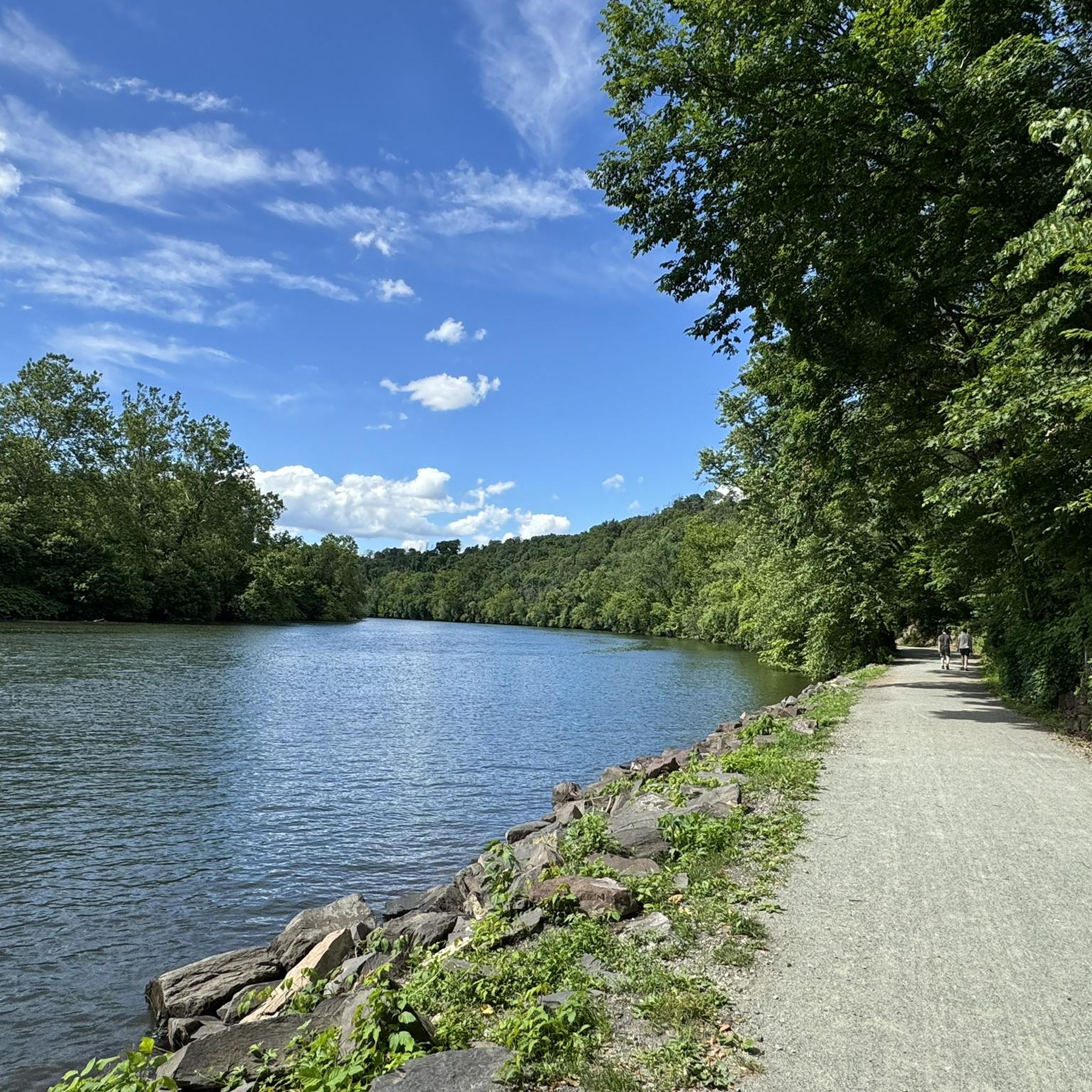
Walk, run, or bike along the banks of the Schuylkill River, enjoying serene stretches and captivating views of the surrounding scenery. Witness lush woodlands, charming bridges, and glimpses of bustling Phoenixville across the water.
0
0
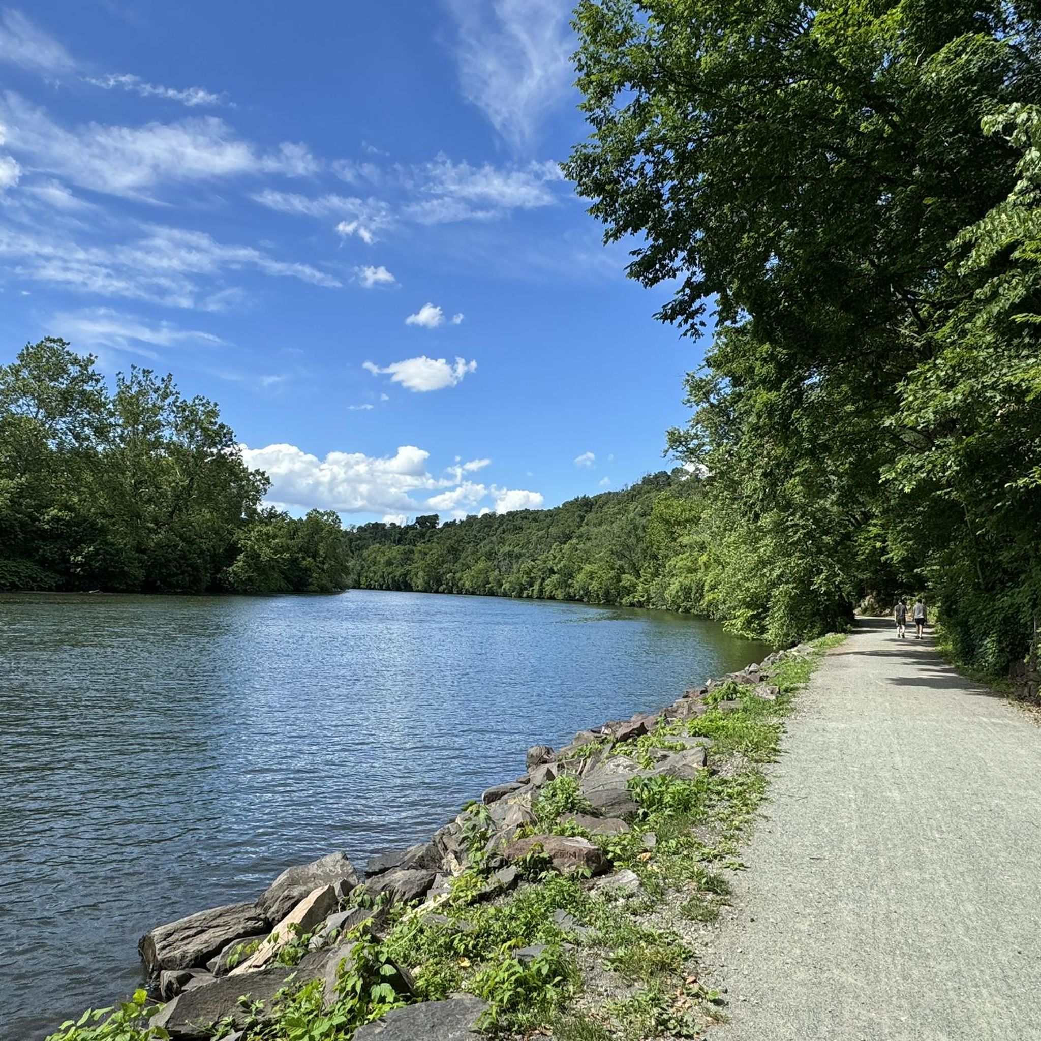
Walk, run, or bike along the banks of the Schuylkill River, enjoying serene stretches and captivating views of the surrounding scenery. Witness lush woodlands, charming bridges, and glimpses of bustling Phoenixville across the water.
0
0
Frequently Asked Questions
How many touring cycling routes are available around Mont Clare?
There are over 40 touring cycling routes around Mont Clare, offering a variety of options for different skill levels and preferences. You'll find a good mix of easy, moderate, and some more challenging paths.
What is the general difficulty level of touring cycling routes in Mont Clare?
The majority of touring cycling routes in Mont Clare are considered easy to moderate. Out of over 40 routes, 18 are rated easy and 19 are moderate, making the area very accessible for most cyclists. There are also 5 more difficult routes for those seeking a greater challenge.
Are there family-friendly touring cycling routes in Mont Clare?
Yes, Mont Clare is well-suited for family-friendly touring cycling, especially along the Schuylkill River Trail. Many routes are generally flat and built on former railroad rights-of-way, providing a safe and enjoyable experience. An excellent easy option is the Lower Perkiomen Valley Park – Perkiomen Trail loop from Cromby, which is 16.3 miles long and leads through scenic parkland.
What kind of terrain can I expect on touring cycling routes near Mont Clare?
The terrain around Mont Clare is primarily characterized by accessible multi-use trails that follow the Schuylkill River. You'll find generally flat routes, often paved or well-maintained gravel, built on former railroad rights-of-way. The landscape features picturesque riverine environments, wooded sections, and open parklands, offering scenic views throughout your ride.
Are there any circular touring cycling routes in Mont Clare?
Yes, many routes in Mont Clare are designed as loops, allowing you to start and end at the same point. For example, the popular View from Sullivan's Bridge – National Memorial Arch loop from Phoenixville is an easy 19.2-mile circular route that provides access to Valley Forge National Historical Park.
What historical sites or natural attractions can I see along touring cycling routes in Mont Clare?
Mont Clare's routes offer access to several notable attractions. You can explore the historic Lock 60 and the Schuylkill Canal Park, which features one of the last watered sections of the Schuylkill Canal. The View from Sullivan's Bridge – National Memorial Arch loop from Phoenixville provides access to Valley Forge National Historical Park and the National Memorial Arch. Additionally, the Schuylkill River Trail itself is a major highlight, offering continuous scenic views.
Where can I find parking for touring cycling routes in Mont Clare?
Parking is generally available at various access points along the Schuylkill River Trail and near local parks. Many trailheads, especially those associated with larger parks like Lower Perkiomen Valley Park or near the Lock 60 area, offer dedicated parking facilities for cyclists.
What do other touring cyclists enjoy most about the routes in Mont Clare?
The touring cycling routes in Mont Clare are highly rated by the komoot community, with an average score of 4.7 stars from over 47 reviews. Cyclists often praise the well-maintained multi-use trails, the scenic views along the Schuylkill River, and the accessibility to historical sites and natural parks. Over 780 touring cyclists have used komoot to explore the area, highlighting its popularity.
Are there any longer touring cycling routes for more experienced riders?
Yes, for more experienced riders looking for longer distances, there are several moderate options. The Pottstown Riverfront Trailhead – Schuylkill River Trail loop from Cromby is a substantial 30.6-mile (49.2 km) route, offering an extended ride along the river. Another good option is the Fitzwater Station – Perkiomen Trail loop from Phoenixville, which is 18.5 miles (29.8 km) and utilizes sections of the Perkiomen Trail.
Can I access other trails from the Mont Clare area?
Yes, Mont Clare is a key hub for connecting to other regional trails. The Schuylkill River Trail provides access to other county trails like the Perkiomen Trail and the Cross County Trail. You can also cross the Schuylkill River via Sullivan's Bridge to explore the extensive trail system within Valley Forge National Historical Park.
What is the Schuylkill Canal Towpath, and how does it relate to cycling in Mont Clare?
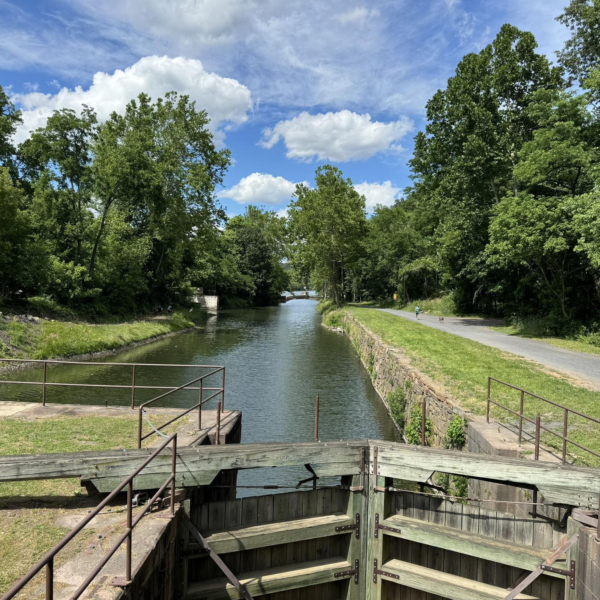
The historic Schuylkill Canal Towpath in Mont Clare is undergoing restoration and will eventually integrate with the Schuylkill River Trail. This provides additional routes for walking and off-road bicycling, offering a unique historical experience alongside the main paved trails. The area features one of the last watered sections of the Schuylkill Canal, along with a restored lock tender's house and Lock 60 itself.
Are there any parks with wildlife viewing opportunities accessible by bike?
Yes, the Upper Schuylkill Valley Park is a short, scenic ride from the Schuylkill Canal Park in Mont Clare. This 15-acre park features a wildlife center with indigenous Pennsylvania animals, a seasonal butterfly garden, and a turtle pond. It's an excellent spot for nature lovers and can be reached via the Schuylkill East Trail from Lock 60. For more information, you can visit the Montgomery County Parks website.
Most popular attractions around Mont Clare

Get inspired with the komoot mobile app


Explore more
Browse the best Cycling routes in other regions.
