The best walks and hikes around Erschwil
4.6
(1926)
7,266
hikers
12
hikes
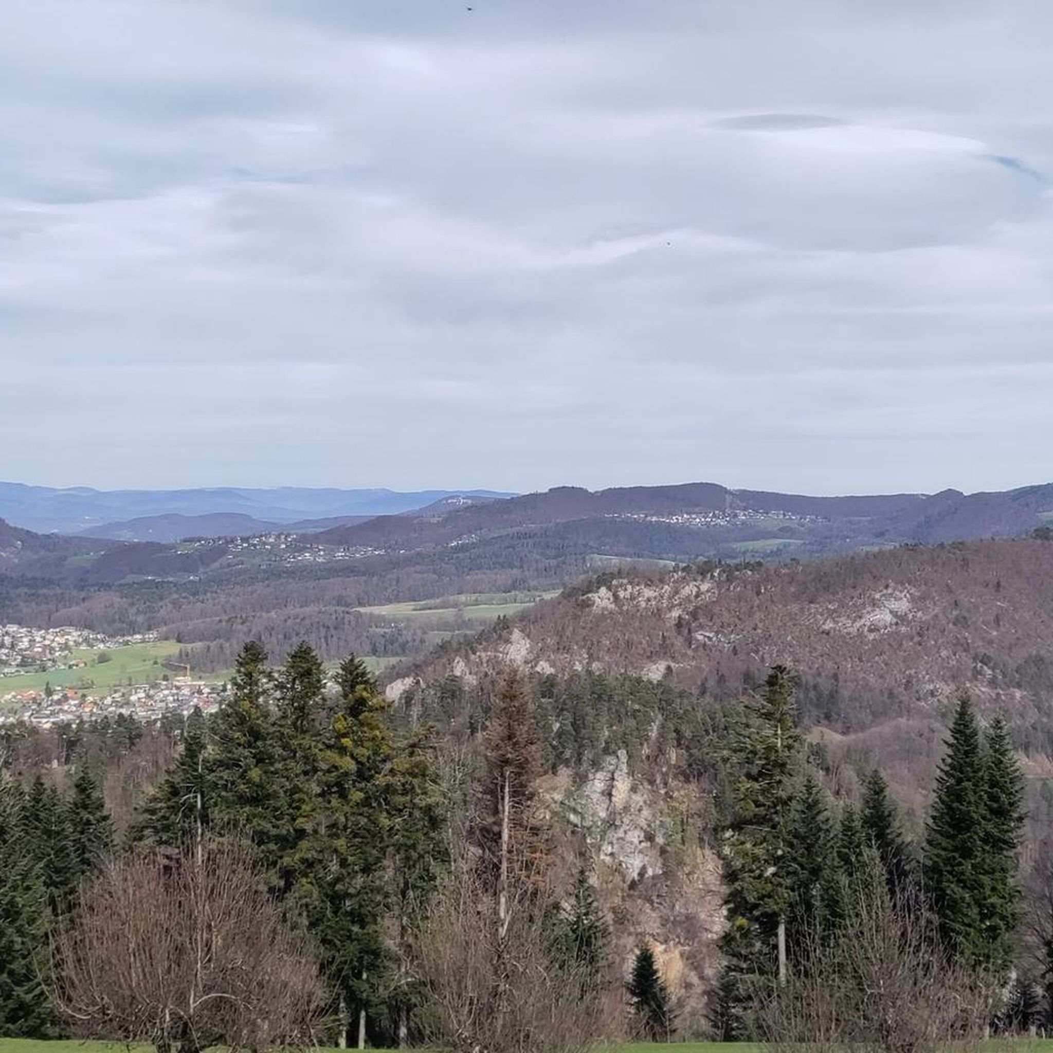
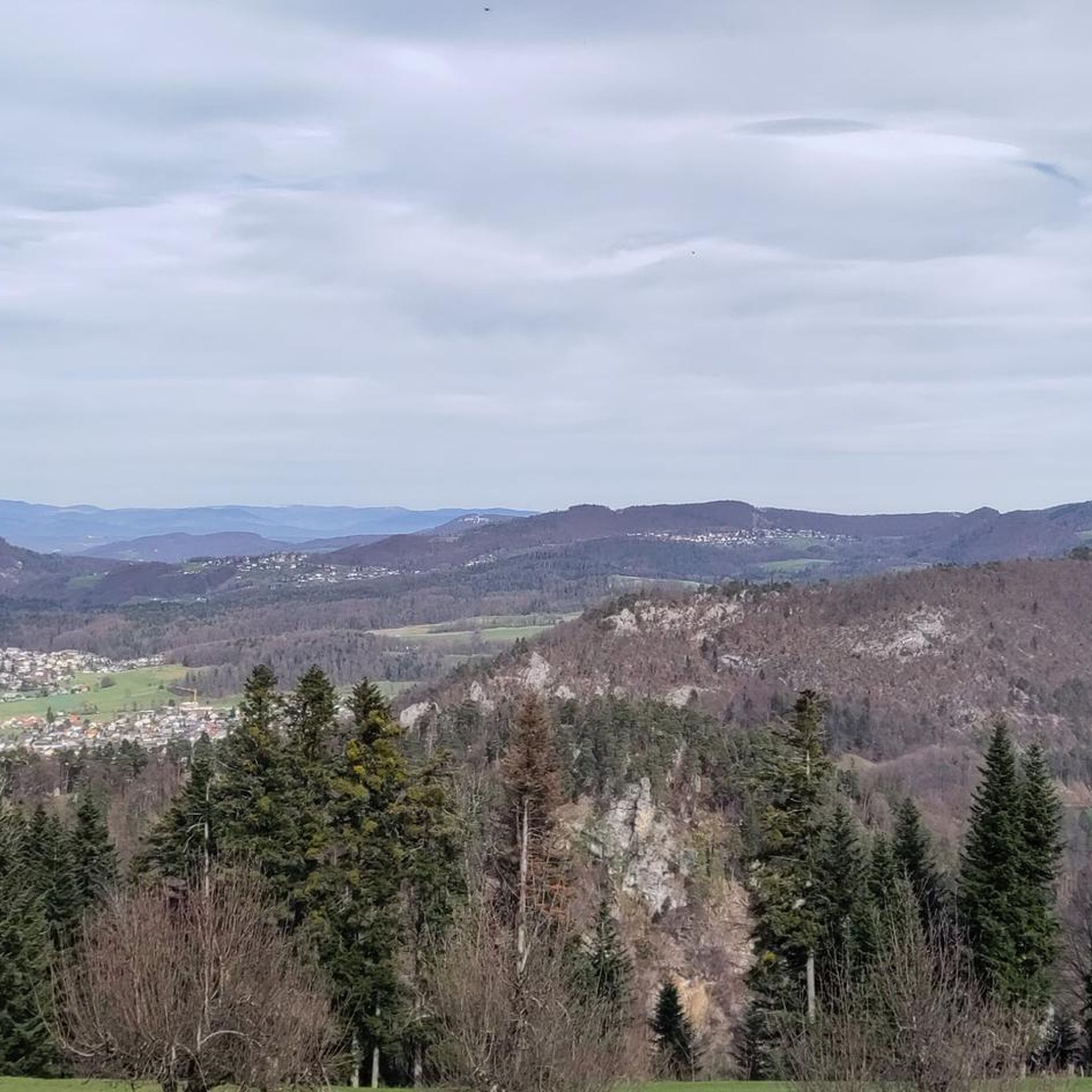
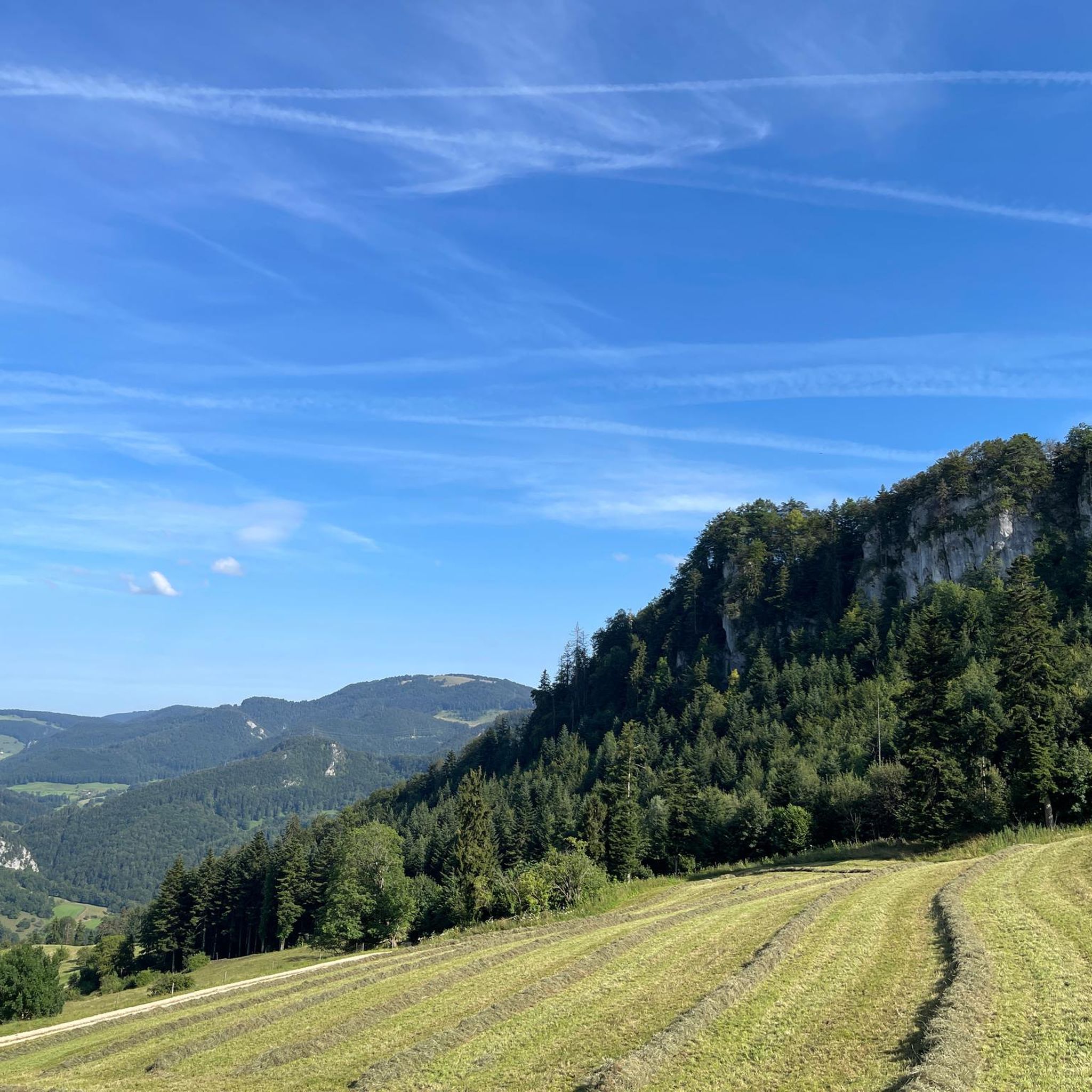
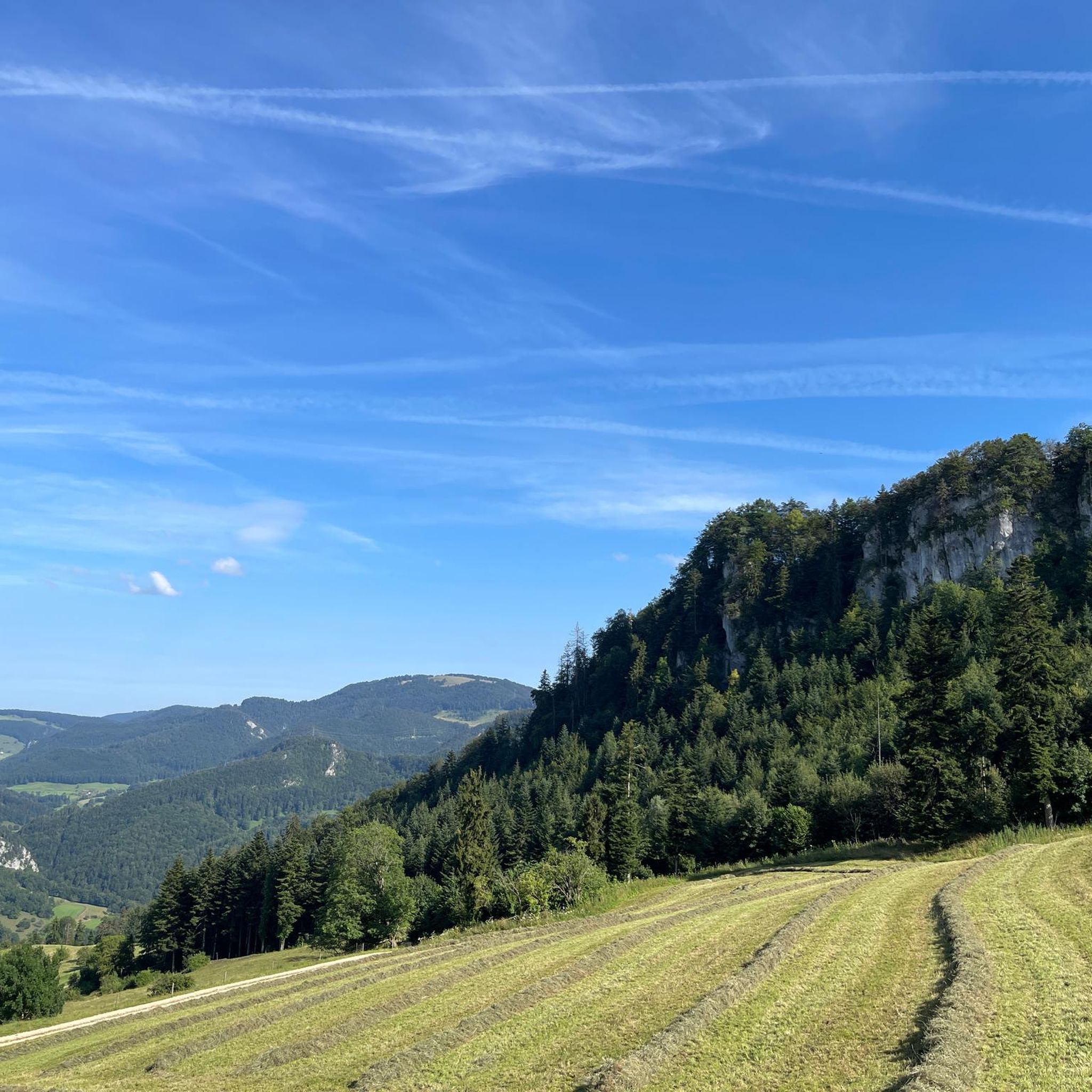
Hiking around Erschwil offers diverse outdoor experiences within the district of Thierstein in the canton of Solothurn, Switzerland. The region is characterized by an elongated village layout along the Lüssel river, with significant areas covered by forests and agricultural land. It is situated within the Jura Mountains, featuring numerous narrow paths, pastures, and prominent peaks such as Hohe Winde Summit and Vogelberg Summit. The Kaltbrunnental Gorge provides a notable natural attraction with easy trails and a cool environment.
Best hiking…
Last updated: August 21, 2026
4.6
(9)
27
hikers
Hard hike. Good fitness required. Sure-footedness, sturdy shoes and alpine experience required.
5.0
(1)
15
hikers
Moderate hike. Good fitness required. Easily-accessible paths. Suitable for all skill levels.

Sign up for free
4.3
(6)
15
hikers
Easy hike. Great for any fitness level. Easily-accessible paths. Suitable for all skill levels.
5.0
(2)
8
hikers
14.8km
04:58
680m
680m
Moderate hike. Good fitness required. Mostly accessible paths. Sure-footedness required.
5
hikers
9.07km
03:07
440m
440m
Moderate hike. Good fitness required. Mostly accessible paths. Sure-footedness required.
Get access to more routes and recommendations from other explorers.
Sign up for free
Already have an account?
Our route recommendations are based on thousands of hikes, rides, and runs completed by other people on komoot.
Start today with a free account
Your next adventure awaits.
Login or Signup
Tips from the Community

Beautiful rest area with wayside cross and signpost
4
0
Striking wayside cross, not far from the rest area
6
0
Here the hiking trail branches off towards Welschgätterli/Stierenberghütte/Erschwil/Grindel
6
0
Wonderful viewpoint. There is even a bench
5
0
The Welschgätterli is a mountain pass between Montsevelier in the canton of Jura and Erschwil in the canton of Solothurn. Its summit is at an altitude of 810 meters above sea level, directly on the border between the two cantons. A yellow-marked hiking trail leads over the pass, connecting the two villages. You can also hike past the Welschgätterli on the Chemin du Val Terbi, which takes you on a circular route over the heights around Montsevelier. From the summit of the pass, the hike to Montsevelier takes about half an hour and to Erschwil around 40 minutes.
5
0
Beautiful rest area with a wonderful view
6
0

Welschgätterli, a "to-do" in the region! 😍
1
0
Frequently Asked Questions
How many hiking trails are available in Erschwil?
Erschwil offers a diverse selection of 13 hiking trails, catering to various skill levels. You'll find options ranging from easy strolls to more challenging, difficult routes through the Jura Mountains.
Are there easy hiking trails suitable for beginners in Erschwil?
Yes, Erschwil has 1 easy hiking trail perfect for beginners or those looking for a relaxed walk. A good option is the Chrüzlifels Viewpoint loop from Bezirk Thierstein, which is 3.5 miles (5.6 km) long and takes about 1 hour 45 minutes to complete, leading through pleasant forested areas.
What kind of views can I expect on hikes around Erschwil?
Hikes in Erschwil offer consistently beautiful views over the inviting Jura landscape, including pastures on the mountainsides. Prominent peaks like the Hohe Winde Summit are renowned for their sensational vistas stretching across the Alps, the Vosges, and the Black Forest. Other viewpoints like Vogelberg Summit also provide stunning panoramas.
Are there any family-friendly hiking options in Erschwil?
The Kaltbrunnental Gorge is an excellent choice for families. It features easy hiking trails and a pleasantly cool environment due to abundant tree cover, making it ideal for summer excursions. The gorge also offers opportunities for children's canyoning, easy access to the water, and designated barbecue areas.
Are there circular hiking routes in Erschwil?
Yes, many routes in Erschwil are designed as circular hikes. For example, the Welschgätterli – Welschgätterli Pass loop from Bezirk Thierstein is a popular circular route, as is the Chrüzlifels Viewpoint loop from Bezirk Thierstein.
What natural attractions can I explore along the hiking trails?
Beyond the scenic views, you can explore significant natural attractions like the Kaltbrunnental Gorge, known for its cool environment and historical significance. The region also features diverse terrain including forests, the Lüssel river, and expansive flower-filled areas, all within the broader context of the Jura Mountains.
What do other hikers enjoy most about hiking in Erschwil?
The hiking routes in Erschwil are highly rated by the komoot community, with an average score of 4.7 stars from over 1600 reviews. Hikers frequently praise the varied terrain, the beautiful views over the Jura landscape, and the well-maintained trails that offer experiences from challenging ascents to peaceful forest walks.
Are there any specific peaks or viewpoints worth visiting?
Absolutely. The Hohe Winde Summit is a must-visit for its panoramic views across the Alps, Vosges, and Black Forest. Other notable peaks include Hirnichopf Summit and Vogelberg Summit, both offering rewarding vistas after their respective ascents.
Are there any longer, more challenging hikes in Erschwil?
Yes, Erschwil offers several difficult routes for experienced hikers. The Welschgätterli – Welschgätterli Pass loop from Bezirk Thierstein is a challenging 10.2 miles (16.4 km) trail with significant elevation gain, typically taking almost 6 hours to complete. Another difficult option is the Welschgätterli Pass – Bergli Grindel Hiking Club loop from Bezirk Thierstein.
Can I find facilities or places to rest along the trails?
While specific cafes aren't detailed for every route, the Wasserfallen Mountain Station is a notable facility in the area. Additionally, the Kaltbrunnental Gorge offers designated barbecue areas, providing a pleasant spot for a break during your hike.
What is the best time of year to go hiking in Erschwil?
Erschwil is enjoyable for hiking throughout much of the year. The Kaltbrunnental Gorge, with its abundant tree cover, is particularly ideal for summer excursions due to its pleasantly cool environment. The region's diverse landscapes, from forests to open pastures, offer beauty in spring, summer, and autumn.
Are there any historical or geological points of interest in the area?
Yes, the region has a rich history and fascinating geology. The caves in Chessiloch within the Kaltbrunnental Gorge were utilized by gatherers and hunters as far back as 12,000 years ago. Geologically, the area is part of the Jura fold, with phenomena like gypsum pans and ancient coral reefs formed millions of years ago, particularly evident near nearby Bärschwil.
Most popular attractions around Erschwil

Get inspired with the komoot mobile app


Explore more
Browse the best Hikes in other regions.
