The best road cycling routes around East Stroudsburg
4.3
(7)
113
riders
34
rides
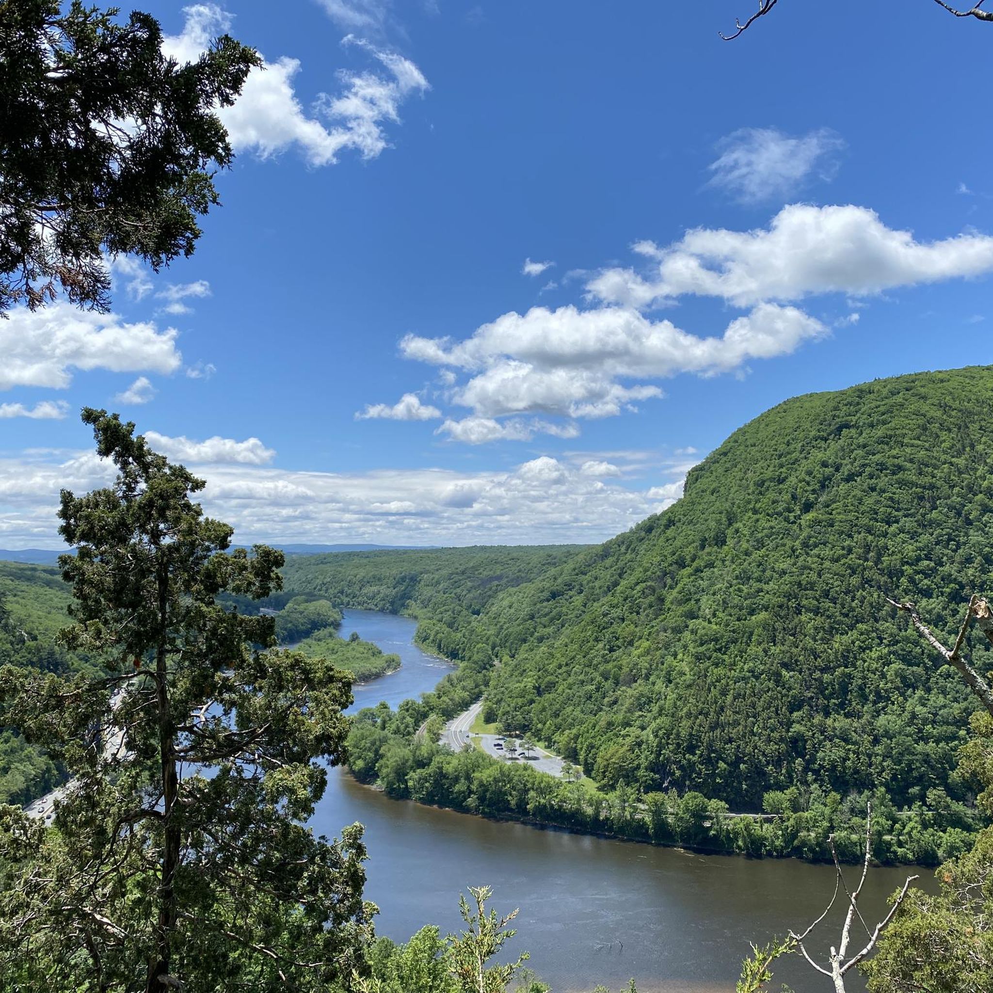
Road cycling around East Stroudsburg offers diverse terrain within Pennsylvania's Pocono Mountains. The region is characterized by low forested mountains, river valleys, and the prominent Delaware Water Gap, where the Delaware River cuts through the ridge. Cyclists encounter a mix of well-paved roads, varied surfaces including gravel, and elevation changes ranging from gentle inclines to challenging ascents over 3,000 feet. The landscape provides a blend of scenic riverfront paths and routes through wooded areas.
Best road cycling routes around East Stroudsburg
- The most popular road cycling route is Delaware Water Gap Loop, a 52.8 miles (85.0 km) trail that takes 3 hours 56 minutes to complete. This moderate route features significant elevation gain through the scenic Delaware Water Gap National Recreation Area.
- Another top favourite among local road cyclists is Old Mine Road Loop, a moderate 37.3 miles (60.0 km) path. This route follows the historic Old Mine Road, offering varied terrain and views of the surrounding forested landscape.
- Local road cyclists also love the Old Mine Road – Apple Pie Bakery loop from East Stroudsburg, a 60.5 miles (97.4 km) trail leading through the Pocono Mountains, often completed in about 6 hours 34 minutes.
- Road cycling around East Stroudsburg is defined by forested mountains, river valleys, and the Delaware Water Gap. The network offers options for various ability levels, from easy rides with minimal elevation to difficult routes with substantial climbs.
- The routes in East Stroudsburg are highly rated by the komoot community with an average score of 5.0 stars from 7 reviews. More than 100 road cyclists have used komoot to explore East Stroudsburg's varied terrain.
Last updated: July 12, 2026
11
riders
85.0km
03:56
800m
800m
Get ready for a moderate racebike adventure on the Delaware Water Gap Loop, a 52.8 miles (85.0 km) journey that takes you through the stunning landscapes of the Delaware Water Gap National Recreation Area. You will climb 2632 feet (802 metres) over an estimated 3 hours and 56 minutes, offering a rewarding challenge. As you cycle, you will experience scenic views along the Delaware River and the majestic Kittatinny Mountains, passing through dense forests, rolling farmland, and dramatic cliffs. Keep an eye out for the historic Millbrook Village, a unique landmark that offers a glimpse into pioneer life amidst the natural beauty.
When planning your ride on the Delaware Water Gap Loop, you can expect mostly well-paved surfaces, making it ideal for racebikes. Parking is generally available close to the starting point, but it is always wise to check local signage for any specific regulations before you arrive. This route is designed for road cycling, so you can focus on the smooth ride without worrying about unpaved sections often found on other trails in the region. Consider starting early to make the most of the scenic views and avoid peak times, ensuring a more peaceful experience.
This loop stands out for its dedicated road cycling experience within the broader Delaware Water Gap area, which is known for its diverse terrain. The route offers a unique blend of natural beauty and historical interest, allowing you to immerse yourself in both the environment and the past. It provides a distinct opportunity to explore the region's dramatic geology and lush ecosystems from the saddle of your racebike.
5.0
(1)
3
riders
60.0km
02:55
700m
700m
The Old Mine Road Loop offers a moderate road cycling experience, covering 37.3 miles (60.0 km) with a total elevation gain of 2297 feet (700 metres). You can expect to complete this route in about 2 hours and 54 minutes. As you ride, you will wind through the scenic Delaware Water Gap National Recreation Area, with views of the historic Delaware River and the Appalachian Mountains. Keep an eye out for the Portland-Columbia Pedestrian Bridge, a notable landmark along the way.
Before you head out, be prepared for varied terrain including rolling hills, two major climbs, and a significant steep descent. While much of the route is paved, some sections might be unpaved or gravel, which could be challenging for a typical road bike. Always check local conditions for road surfaces and any seasonal changes before you start your ride.
This route is known for its blend of exercise and exploration, taking you through forests and farmlands dotted with historic structures. The Old Mine Road itself is exceptionally scenic, providing a diverse visual experience from spring through autumn. It's a great option if you are looking for a ride that combines natural beauty with a touch of history.

Sign up for free
16
riders
97.4km
06:34
1,200m
1,200m
Hard road ride. Very good fitness required. Some segments of this route may be unpaved and difficult to ride.
5.0
(1)
11
riders
54.2km
02:30
500m
500m
The Roadbike loop from Bartonsville offers a rewarding journey through the rolling hills and picturesque back roads of Pennsylvania. This moderate 33.7-mile (54.2 km) road cycling loop features 1638 feet (499 metres) of elevation gain and typically takes about 2 hours and 29 minutes, making it a great option for a solid morning or afternoon ride. You'll find yourself pedaling through charming wooded areas and enjoying the dynamic terrain that defines this region.
Before setting out, it's wise to check local road conditions, as the Bartonsville area can present varied surfaces, from smooth sections to more challenging climbs. While specific trailhead parking isn't detailed, the region is known for its bike-friendly towns, so finding a suitable starting point with parking should be straightforward. Consider an early start to make the most of the scenic routes and avoid peak traffic.
This loop is a fantastic way to explore the diverse natural settings of Pennsylvania by bike, showcasing the kind of varied landscape that makes cycling here so appealing. The mix of gradual hills and more significant climbs provides a good workout while allowing plenty of opportunity to take in the surrounding beauty. It's a prime example of the engaging road cycling routes available near Bartonsville, Pennsylvania.
3
riders
36.3km
01:47
350m
350m
Moderate road ride. Good fitness required. Mostly well-paved surfaces and easy to ride.
Get access to more routes and recommendations from other explorers.
Sign up for free
Already have an account?
Our route recommendations are based on thousands of hikes, rides, and runs completed by other people on komoot.
Start today with a free account
Your next adventure awaits.
Login or Signup
Popular around East Stroudsburg
Tips from the Community

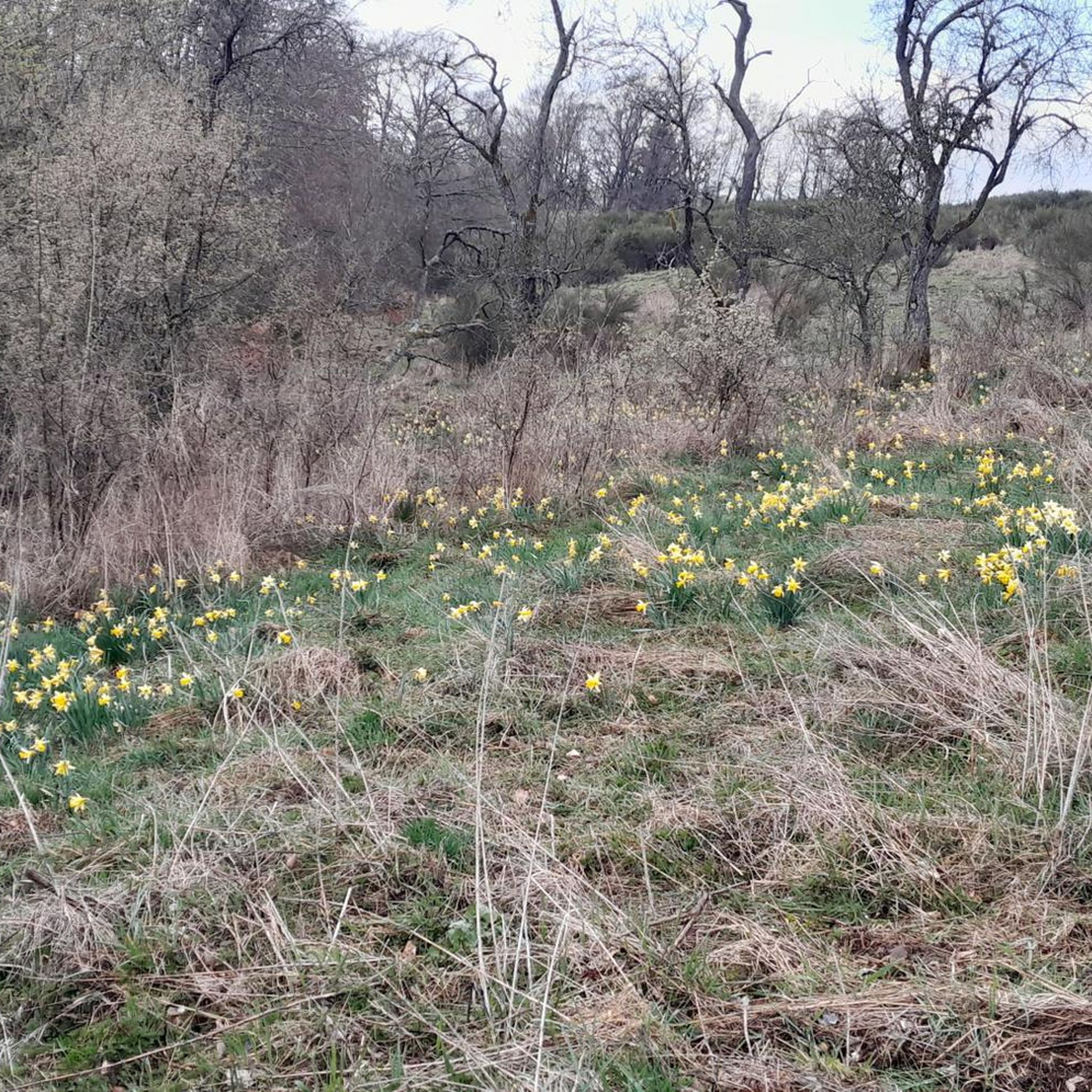
This 70-acre parcel of protected land is popular for walking, but it's great scenery for your bike ride, too. Keep an eye out for wildflowers in the spring, and an ear out for songbirds.
0
0

The bridge allows you to ride over the Delaware River. The views are pretty here!
1
0

Bridge crossing the Delaware River. The actual water gap between New Jersey and Philadelphia.
0
0
Right after leaving Worthington State Forest you find yourself on this nice road that is superb to ride in the early mornings.
1
0
100% worth the little detour. Amazing pies! Pack one to go too, they hold up well on the bike. Great spot to get a big breakfast to get ready for the day's riding.
0
0
Frequently Asked Questions
How many road cycling routes are available around East Stroudsburg?
There are over 35 road cycling routes available around East Stroudsburg, offering a wide range of options for different skill levels and preferences.
What are the typical terrain and elevation challenges for road cycling in the East Stroudsburg area?
The East Stroudsburg area, nestled in the Pocono Mountains, offers diverse terrain. You'll find a mix of well-paved roads and varied surfaces, including some gravel segments. Elevation changes range from gentle inclines on routes like the Kovarick Park Lands loop from Stroudsburg, which has around 600 feet of elevation gain, to challenging ascents exceeding 3,000 feet on more difficult routes.
What do other cyclists say about road cycling in East Stroudsburg?
The road cycling routes in East Stroudsburg are highly rated by the komoot community, with an average score of 5.0 stars from 7 reviews. Cyclists often praise the stunning natural landscapes, the blend of riverfront paths, and the challenging mountain ascents found throughout the region.
Are there road cycling routes suitable for beginners or those looking for an easy ride?
Yes, there are several easy road cycling routes around East Stroudsburg. For instance, the Kovarick Park Lands loop from Stroudsburg is an easy 16-mile (26 km) route with minimal elevation gain, perfect for a relaxed ride. Additionally, Promised Land State Park offers six and a half miles of paved roads ideal for beginner cyclists around Promised Land Lake.
Are there challenging road cycling routes for experienced riders in the East Stroudsburg area?
Absolutely. For experienced riders seeking a challenge, routes like the Old Mine Road – Apple Pie Bakery loop from East Stroudsburg offer significant elevation gains, reaching over 3,900 feet (1,200 meters) over its 60.5-mile (97.4 km) distance. The broader Pocono Mountains region also features routes with over 3,000 feet of elevation gain, some including unpaved or difficult segments.
Are there any scenic viewpoints or natural landmarks to see while road cycling near East Stroudsburg?
Yes, the region is rich in natural beauty. Many routes traverse the Delaware Water Gap National Recreation Area, offering views of the Delaware River cutting through the mountain ridge. You can also find highlights such as the Delaware Water Gap viewpoint, Sunfish Pond, and the Eureka Creek. The Lehigh Gorge Trail, though a bit further, is known for its incredible views of waterfalls and rock formations.
Are there any family-friendly cycling options in the region?
For families, a particularly scenic and family-friendly five-mile section of the McDade Recreational Trail can be accessed from Smithfield Beach within the Delaware Water Gap National Recreation Area. Smithfield Beach also offers picnic grounds and a swimming area. The Levee Loop Trail, a 4.5-mile pathway between Stroudsburg and East Stroudsburg, is also popular with families due to its varied surfaces and multiple access points through local parks.
Can I bring my dog on any of the cycling trails?
The Levee Loop Trail, which parallels the Brodhead Creek between Stroudsburg and East Stroudsburg, is popular with bikers, hikers, runners, and even pets. It features varied surfaces including grass, gravel, and pavement, making it a good option for cycling with your dog.
Are there any circular road cycling routes available?
Yes, many of the road cycling routes around East Stroudsburg are designed as loops. Popular circular routes include the Delaware Water Gap Loop, a 52.8-mile (85 km) route, and the Old Mine Road Loop, which covers 37.3 miles (60 km).
What is the best season for road cycling in East Stroudsburg?
The Pocono Mountains region is generally best for cycling from spring through fall, when the weather is mild and the natural scenery is vibrant. Summer offers warm temperatures, while autumn provides stunning fall foliage. Always check local weather conditions before heading out.
Where can I find parking for road cycling trails in East Stroudsburg?
Many trails and parks in the East Stroudsburg area offer parking. For example, the McDade Recreational Trail has access points with parking, including Smithfield Beach. The Levee Loop Trail also has multiple access points through local parks like Yetter Park, Dansbury Park, Creekview Park, and Stokes Mill Park, which typically provide parking facilities.
Are there any long-distance road cycling routes in the area?
Yes, for those seeking longer rides, the Old Mine Road – Apple Pie Bakery loop from East Stroudsburg is a substantial 60.5-mile (97.4 km) route. The Delaware Water Gap National Recreation Area also offers extensive cycling opportunities, with the McDade Recreational Trail running nearly 32 miles along the Delaware River.
Are there any specific permits required for road cycling on trails in the East Stroudsburg area?
Generally, no specific permits are required for road cycling on public roads and designated multi-use trails in the East Stroudsburg area. However, for specific regulations within the Delaware Water Gap National Recreation Area, it's always a good idea to check their official website for any updates or specific rules regarding biking: nps.gov/dewa.
Most popular routes around East Stroudsburg
Most popular attractions around East Stroudsburg

Get inspired with the komoot mobile app


Explore more
Browse the best Road cycling routes in other regions.
