The best running trails around Medford
109
runners
20
runs
Jogging around Medford offers access to a diverse landscape within the scenic Rogue Valley. The region is characterized by multi-use greenways along creeks and rivers, as well as trails leading into forested hills. These natural features provide varied terrain for running, from paved paths to more challenging ascents. Medford's setting allows for routes that traverse open meadows, follow waterways, and explore local parks.
Best jogging routes around Medford
- The most popular jogging route is Bear Creek Greenway, a 6.0 miles (9.7 km) moderate trail that takes about 1 hour to complete. This route winds through creek-side woods and natural areas, providing a picturesque and accessible path.
- Another top favourite among local runners is Bear Creek Greenway loop from Saint Mary's School, a moderate 4.8 miles (7.8 km) path. This loop offers accessible running along the creek, connecting with the wider greenway network.
- Local runners also love the Larson Creek Reservoir loop from Asante Rogue Regional Medical Center, a 4.3 miles (7.0 km) trail leading through varied terrain with reservoir views, often completed in about 45 minutes.
- Jogging around Medford is defined by creek-side greenways, river paths, and forested hills. The network offers options for different ability levels, from gentle loops to routes with more significant elevation gain.
- The guide includes highly-rated routes that showcase the best of the region's landscape. More than 100 runners have used komoot to explore Medford's varied terrain.
Last updated: June 23, 2026
6
runners
9.65km
01:00
20m
20m
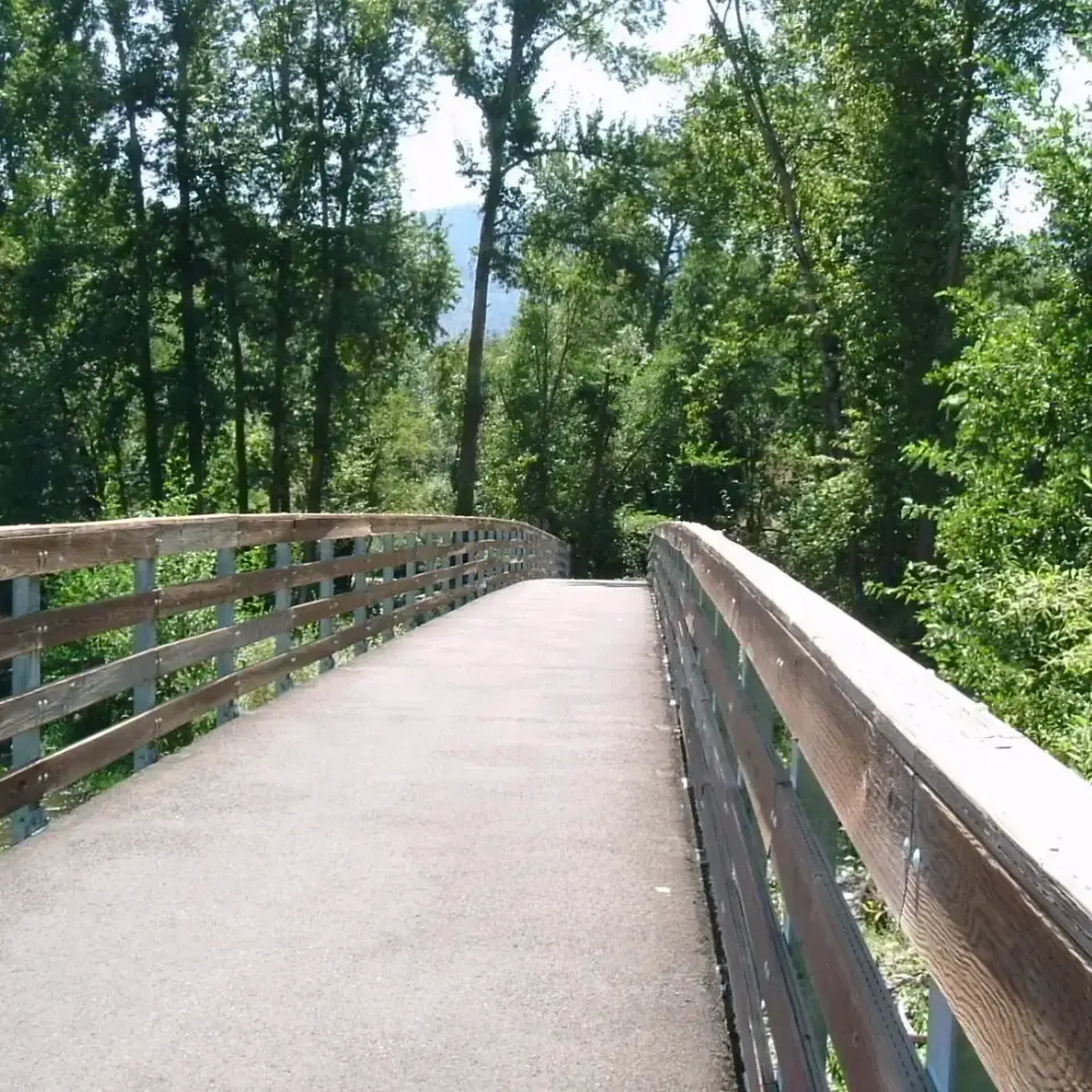
The Bear Creek Greenway offers a pleasant jogging experience on its paved, multi-use path, winding through a mix of natural creek-side woods and urban landscapes. You'll find peaceful views of Bear Creek, especially in sections south of Medford, where the trail feels more secluded. The wide asphalt surface is generally well-maintained, making it a smooth run for most, though some minor root heaves are present.
This moderate 6.0-mile (9.6 km) jogging route features a minimal 76 feet (23 metres) of elevation gain, making it accessible for many, and can be completed in about 59 minutes. Parking and amenities like restrooms and water are available at various parks along the greenway, such as Bear Creek Park. It's a great option for a quick, easy run, but be aware that some sections parallel busy roads, introducing traffic noise.
The Bear Creek Greenway is a vital link, connecting five communities and eight parks, providing a safe, separated path for non-motorized users. It's part of a larger vision to connect to the Rogue River Greenway, creating an extensive network for outdoor enthusiasts. The trail also passes notable points of interest like the Medford Railroad Park, an outdoor train museum, adding a unique touch to your run.
12
runners
7.76km
00:48
30m
30m
The Bear Creek Greenway loop from Saint Mary's School offers a pleasant jogging experience, winding through creek-side woods and natural areas that provide opportunities for birdwatching. While much of the 4.8-mile (7.8 km) route is a peaceful escape, you'll also encounter sections paralleling Interstate 5, which can be noisier. The mostly paved surface makes for a consistent run, though some parts, particularly heading north, involve a steady uphill climb, contributing to its moderate difficulty and 88 feet (27 metres) of elevation gain over an estimated 48 minutes.
For planning your visit, the trail is well-maintained and connects to several parks like Hawthorne Park and Bear Creek Park, which offer amenities such as restrooms and water. Parking is available at these parks, making access convenient. The route is well-marked with mile markers, and benches are placed along the way for quick rests. It's a great option for a reliable, accessible jog.
The Bear Creek Greenway is a significant regional asset, a 20.6-mile (32 km) paved multi-use trail connecting several cities in the area, including Ashland and Medford. This particular loop from Saint Mary's School showcases a segment of this larger network, providing a separated route from car traffic. Historically, discussions for a dedicated path here date back to 1899, highlighting its long-standing importance to the community.

Sign up for free
7
runners
4.27km
00:28
80m
80m
Easy run. Great for any fitness level. Mostly paved surfaces. Suitable for all skill levels.
6
runners
9.33km
00:58
70m
70m
Moderate run. Good fitness required. Mostly paved surfaces. Suitable for all skill levels.
6
runners
10.3km
01:05
110m
110m
Moderate run. Good fitness required. Mostly paved surfaces. Suitable for all skill levels.
Get access to more routes and recommendations from other explorers.
Sign up for free
Already have an account?
Our route recommendations are based on thousands of hikes, rides, and runs completed by other people on komoot.
Start today with a free account
Your next adventure awaits.
Login or Signup
Popular around Medford
Tips from the Community

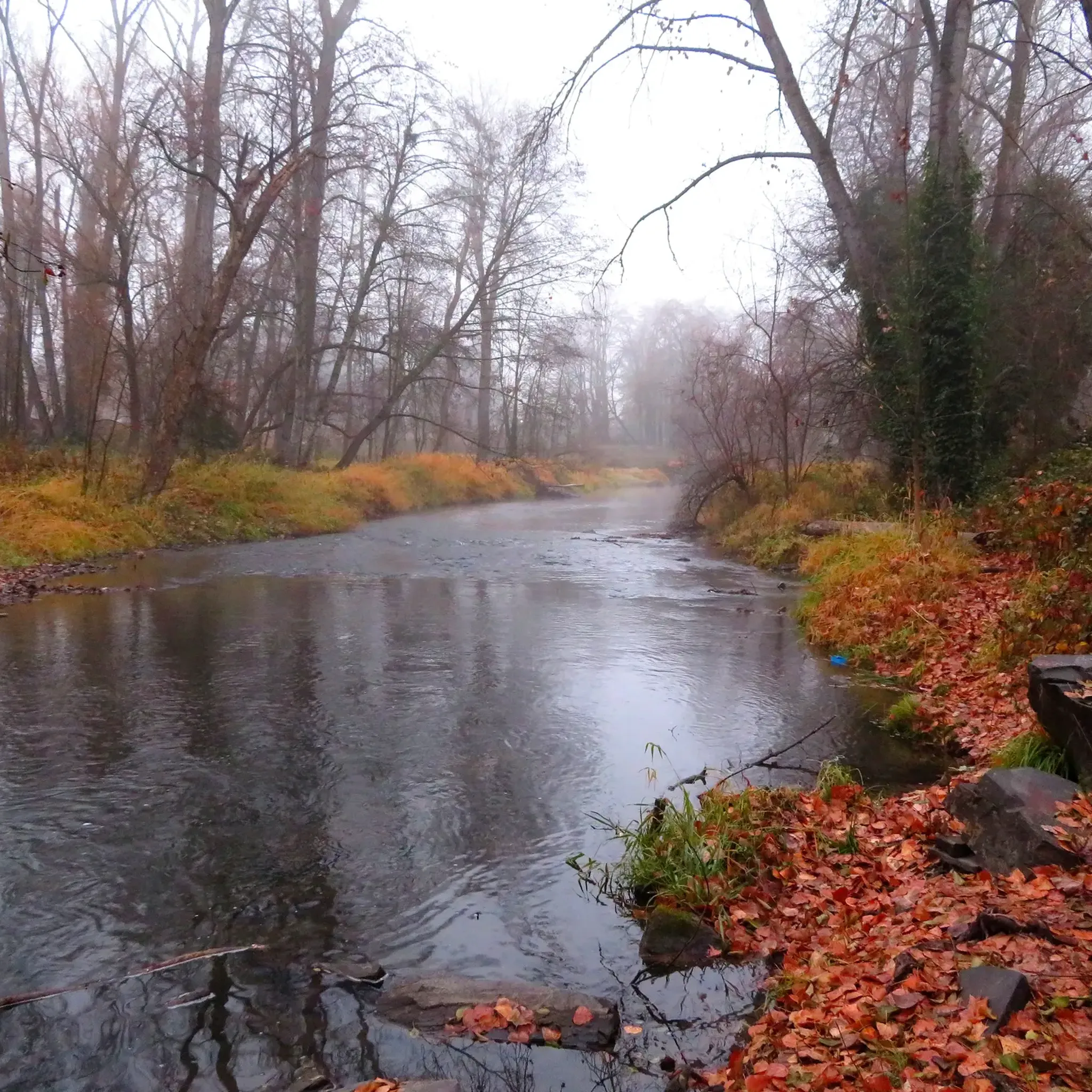
Bear Creek Greenway is a nice multi-use trail in Medford, Oregon. It follows the course of Bear Creek and offers a picturesque route for walking, jogging, biking, and enjoying nature. The Greenway provides a pleasant outdoor experience with views of the creek, parks, and natural surroundings. It's a popular recreational area for locals and visitors.
0
0
Frequently Asked Questions
How many running routes are available around Medford?
Medford offers a diverse selection of over 10 running routes, catering to various preferences and fitness levels. These routes range from paved greenways to more challenging trails with elevation gain, ensuring there's something for every runner.
Are there running routes suitable for beginners or families in Medford?
Yes, Medford has several excellent options for beginners and families. The Bear Creek Greenway is a popular multi-use paved trail that offers a gentle, accessible experience. Another great choice is the 1.5-mile loop of the Denman Interpretive Trail, which traverses open meadows and wetlands, perfect for a leisurely jog.
Which running trails in Medford are dog-friendly?
Many trails in Medford welcome dogs, especially those where they can be kept on a leash. Prescott Park and Roxy Ann Peak offer dog-friendly trails, with both paved and unpaved options. The Bear Creek Greenway loop from Saint Mary's School is another good option for running with your canine companion.
Are there any running routes with scenic viewpoints in the Medford area?
Absolutely! For panoramic views, consider the trails leading up Roxy Ann Peak in Prescott Park, which offer 360-degree vistas of the Rogue Valley. The Grizzly Peak Trail also provides spectacular views of Mount McLoughlin, Mount Shasta, and the Crater Lake Rim, making for a very rewarding run.
What kind of terrain can I expect on Medford's running trails?
Medford's running terrain is quite varied. You'll find extensive paved multi-use paths like the Bear Creek Greenway, ideal for road running. For trail runners, options include forested trails and meadows in Prescott Park, as well as more challenging routes with significant climbs and rolling terrain, such as the Jackson Forest Park Trail.
Are there any loop jogging trails around Medford?
Yes, there are several excellent loop options for joggers. The Larson Creek Reservoir loop from Asante Rogue Regional Medical Center is a moderate 4.3-mile trail with varied terrain and reservoir views. The Denman Interpretive Trail also offers a pleasant 1.5-mile loop through natural areas.
What are some less crowded running options in Medford?
While the Bear Creek Greenway is popular, you might find less crowded experiences on trails like the Denman Interpretive Trail, especially during off-peak hours. The Rogue River Greenway also tends to be quieter than some of the more central paths, offering a peaceful run along the river.
Are there any interesting landmarks or attractions to see along Medford's running routes?
Many routes offer access to natural and historical points of interest. The Bear Creek Greenway itself is a significant feature, and you can access highlights like Bear Creek Greenway. For geological wonders, the Table Rocks (like Upper Table Rock) offer unique formations and seasonal wildflowers. The Jackson Forest Park Trail also passes historic mining sites.
What do other runners enjoy most about jogging in Medford?
Runners frequently praise Medford's diverse landscape, which offers everything from accessible creek-side greenways to challenging forested hills. The variety of terrain, the scenic beauty of the Rogue Valley, and the well-maintained paths are often highlighted as key reasons for enjoying running in the area.
Are there any longer, more challenging running routes for experienced trail runners?
For experienced trail runners seeking a challenge, the 8.5-mile Jackson Forest Park Trail features a significant climb into the hills, followed by rolling terrain and consistent ascents. Another option is the Bear Creek Greenway – Bear Creek Greenway loop from Saint Mary's School, which is a difficult 14.3-mile route.
Is there parking available at the trailheads for running routes in Medford?
Yes, many popular running areas in Medford offer designated parking. For instance, the Bear Creek Greenway has multiple access points with parking along its 20-mile stretch. Prescott Park, which provides access to Roxy Ann Peak trails, also has parking facilities available for visitors.
Most popular attractions around Medford

Get inspired with the komoot mobile app


Explore more
Browse the best Running Trails & Routes in other regions.
