The best walks and hikes around Kenwood
5.0
(15)
282
hikers
35
hikes
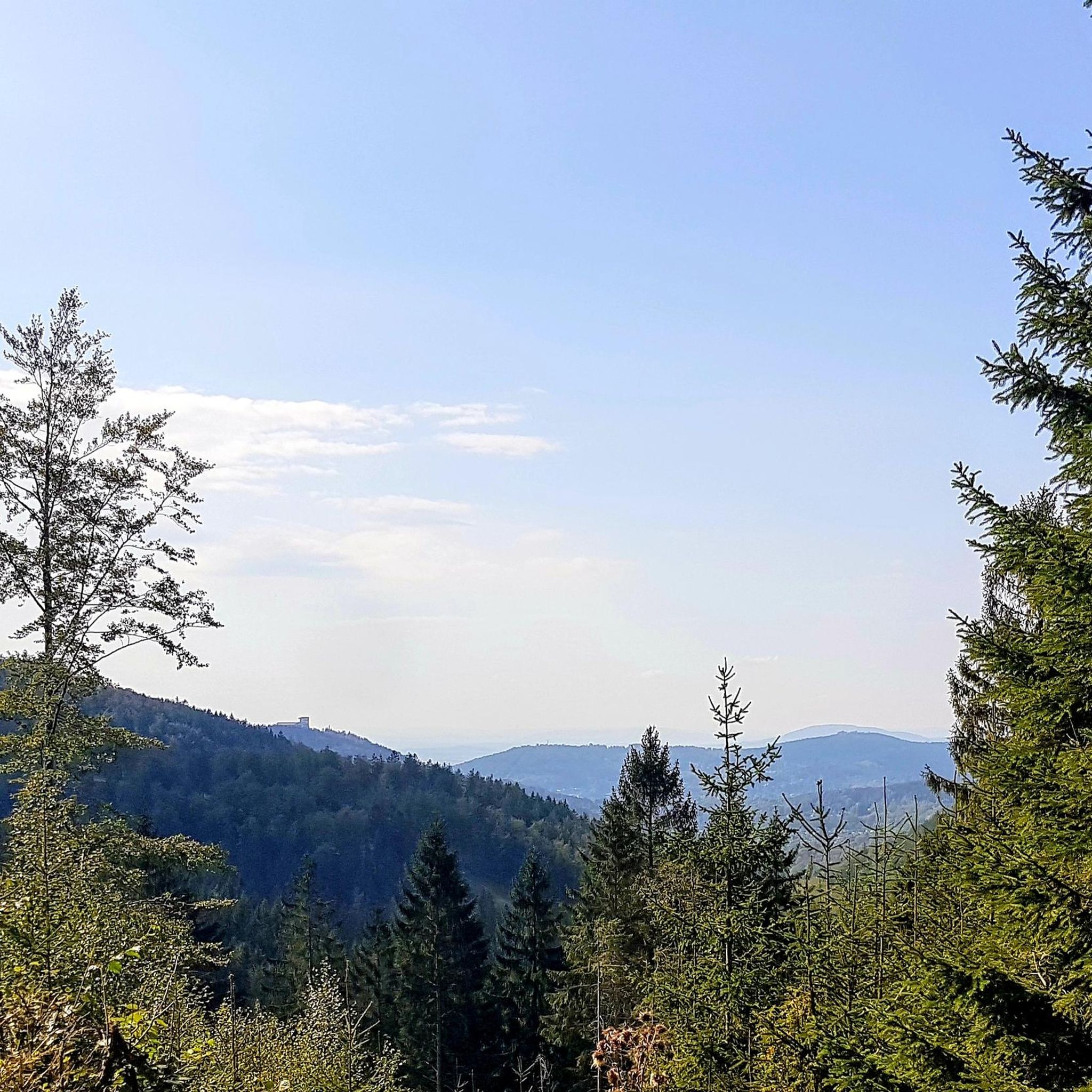
Hiking around Kenwood, California, offers diverse landscapes within Sonoma County's Valley of the Moon. The region features varied terrain, including mountain peaks, lush forests, and open meadows. Notable features include the Mayacamas Mountains, Sonoma Creek, and distinctive volcanic rock formations. The area is characterized by its rural setting, blending cultivated vineyards with untamed wilderness.
Best hiking trails around Kenwood
- The most popular hiking route is Ridge, Bur Oak, Cliff and Tree Trail Loop, a 3.0 miles (4.8 km) trail that takes 1 hour 23 minutes to complete. This route features varied terrain with moderate elevation gain.
- Another top favourite among local hikers is Mariemont Lower Gardens Outer Loop, an easy 1.6 miles (2.6 km) path. This trail offers a gentle walk through garden areas.
- Local hikers also love the Birders Loop, a 1.2 miles (1.9 km) trail leading through natural areas, often completed in about 29 minutes.
- Hiking around Kenwood is defined by mountain peaks, lush forests, and open meadows. The network offers options for different ability levels, from easy strolls to more challenging ascents.
- The routes in Kenwood are highly rated by the komoot community with an average score of 5.0 stars from over 12 reviews. More than 220 hikers have used komoot to explore Kenwood's varied terrain.
Last updated: June 28, 2026
3
hikers
4.82km
01:23
130m
100m
The Ridge, Bur Oak, Cliff and Tree Trail Loop offers a delightful exploration of Ault Park's varied woodlands, winding through dense forest and past historical features. You'll encounter one of southwestern Ohio's largest trees, a centuries-old Bur Oak, and discover natural architectural elements fashioned from fallen timber. The route provides a dynamic experience, transitioning from flat, gradual sections to some steeper climbs, particularly on the Cliff Trail, making it an engaging choice for those who appreciate diverse scenery.
This easy 3.0-mile (4.8 km) hike, with 431 feet (131 metres) of elevation gain, typically takes around 1 hour and 23 minutes to complete. Parking is readily available at Ault Park. Be mindful that certain sections, like the western Bur Oak Trail and parts of the Cliff Trail, can get muddy after rain, so waterproof shoes are recommended. Also, keep an eye out for seasonal closures on the Cliff and Tree Trails due to deer hunting.
What makes this loop truly special is its combination of distinct trails, each offering unique insights into the park's ecosystem and history. The Tree Trail, for instance, guides you through one of Cincinnati's least disturbed old-growth forests, where 23 different tree species are identified. Meanwhile, the Ridge Trail follows an early 19th-century road, adding a historical layer to your outdoor adventure in this Cincinnati gem.
3
hikers
2.60km
00:40
0m
20m
The Mariemont Lower Gardens Outer Loop offers a charming, easy hike through a unique landscape where nature meets community. This 1.6-mile (2.6 km) loop, with a minimal 10 feet (3 metres) of elevation gain, takes about 39 minutes to complete, making it ideal for a quick, refreshing outing. You'll wander along a silt bluff overlooking the Little Miami River backwaters, a great spot for wildlife, and pass through vibrant community gardens featuring beautiful sunflowers.
Access to the trail involves a distinctive journey, including passing under a defunct railway through an aged tunnel and crossing active twin railroad tracks. While parking is generally available in the Mariemont area, consider visiting when the leaves are off the trees for the best birdwatching opportunities and clearer views of the river. This easy route is perfect for families or anyone seeking a relaxed stroll.
What makes this trail particularly notable is its blend of natural riverside wetlands with the cultivated beauty of the 80-acre community garden. It's an excellent spot for birding and appreciating the Little Miami River, a designated National Scenic River. The integration of local gardening creativity into the hiking experience provides a distinctive and enjoyable element, setting it apart from other easy hikes in the area.

Sign up for free
2
hikers
1.86km
00:29
10m
10m
The Birders Loop offers a serene and accessible journey through diverse habitats, perfect for a quick nature escape. You'll wander through mowed prairie grass, skirt tranquil wetlands, and find shade in forested sections, all while keeping an eye out for local avian life. The trail's gentle terrain and varied scenery make it a delightful experience for anyone looking to connect with nature.
Planning your visit to the Birders Loop is straightforward, though a few tips can enhance your experience. The trail is an easy 1.2-mile (1.9 km) hike with only 41 feet (13 metres) of elevation gain, taking roughly 29 minutes to complete. While generally well-maintained, some sections can become muddy after rain, so sturdy footwear is recommended. Early mornings often provide the best birdwatching opportunities and a more peaceful atmosphere.
This trail is particularly notable for its focus on birdwatching, designed to showcase diverse habitats that attract a rich mix of avian species. It's an excellent option for families or those new to hiking, offering a high reward for minimal effort. The Birders Loop provides a fantastic opportunity to observe local wildlife in a natural setting, making it a standout choice in the Miamiville area.
15.0km
03:50
50m
70m
The Little Miami Scenic Trail offers a delightful journey through southwestern Ohio, tracing the banks of the Little Miami River. You'll experience tranquil woodlands, open farm country, and diverse forests, with sycamores lining the river where great blue herons often reside. The trail's paved surface and minimal elevation changes make it a generally easy and accessible route, perfect for a leisurely day out in nature.
This moderate 9.3-mile (15.0 km) hike, with only 158 feet (48 metres) of elevation gain, typically takes around 3 hours and 49 minutes to complete. Parking is available at various trailheads along its length, and the trail connects charming towns like Milford and Loveland, which offer convenient amenities. Consider visiting in spring for wildflowers or autumn for stunning foliage.
As one of the country's first rail-to-trail conversions, the Little Miami Scenic Trail offers a unique blend of natural beauty and historical significance, with preserved railroad bridges hinting at its past. It's also a vital part of a larger regional trail system, connecting to the Ohio-to-Erie Trail and the Buckeye Trail, making it a key artery for exploring the area's natural and cultural heritage.
2.59km
00:44
60m
60m
The French Park Short Loop offers a delightful and accessible hiking experience, perfect for a quick nature fix. This easy route guides you through shaded forests and open hills, with the soothing sound of the creek often accompanying you. You'll encounter fun creek crossings via stepping stones and pass through meadows that burst with wildflowers from spring to early fall, attracting butterflies and birds.
This 1.6-mile (2.6 km) loop has a gentle 181 feet (55 metres) of elevation gain and can be completed in about 43 minutes, making it an ideal choice for families and casual hikers. French Park is conveniently located in Cincinnati, Ohio, and is known for its dog-friendly rules, so your leashed canine companion is welcome. While it feels secluded, it's easily accessible, though some sections can be muddy after rain.
French Park itself is a historic 275-acre estate, featuring "The French House," a renovated early 1900s brick house. The park's preservation of meadows and diverse habitats provides a unique opportunity for wildlife spotting, including pileated woodpeckers. It's a true hidden gem among French Park hiking popular trails, offering a peaceful escape within an urban setting.
Get access to more routes and recommendations from other explorers.
Sign up for free
Already have an account?
Our route recommendations are based on thousands of hikes, rides, and runs completed by other people on komoot.
Start today with a free account
Your next adventure awaits.
Login or Signup
Popular around Kenwood


Tips from the Community

Lots of hills! But stop mid run at Coffee emporium before you run back to your car!
0
0


Ault Park is the city's fourth-largest park and was established in 1911 through the generous land donation by Levi Addison Ault and his wife, Ida May Ault. This spot is the heart of Ault Park. There is a Italian Renaissance-style Pavilion, constructed in 1930 with a large fountain in front of it. This elegant structure serves as a popular venue for weddings, dances, and private events, and provides visitors with panoramic views of the surrounding Little Miami River valley. Adjacent to the pavilion are the park's gardens, which feature the renowned Adopt-A-Plot program initiated in 1980, where volunteers maintain individual garden plots, contributing to the park's vibrant floral displays.
0
0
Kroger Hills is a 217 acre nature preserve south of the Wooster Pike. There is old-growth forest, a restored prairie and 80 acres of grassland, and the Miami River flowing through it. There isn't any public parking or facilities, including bathrooms, available, and there aren't really any trails for cycling through the woods and grasslands, but you can ride on the outskirts of it along the Little Miami Scenic Trail and enjoy its beauty from there.
0
0
Frequently Asked Questions
How many hiking trails are available around Kenwood?
There are over 20 hiking trails documented on komoot for the Kenwood area, offering a variety of experiences from easy strolls to more challenging ascents. These routes explore the diverse landscapes of Sonoma County's Valley of the Moon.
Are there any easy hiking trails suitable for beginners in Kenwood?
Yes, Kenwood offers many easy trails. Out of the 24 routes available, 19 are rated as easy. An example is the Sharon Woods Lake to Gorge Trails Loop — Sharon Woods Park, which is an easy 7 km path featuring varied terrain around the lake and gorge.
What are the best options for moderate hikes in Kenwood?
For those seeking a moderate challenge, Kenwood has several options. The Sharon Woods Lake – Buckeye Falls loop from Sharonville is a popular moderate 9.6 km trail that combines lake views with a visit to Buckeye Falls.
Are there any trails with waterfalls in the Kenwood area?
Yes, the region features natural waterfalls. Within Sugarloaf Ridge State Park, you can find a 25-foot seasonal waterfall. Additionally, the Buckeye Falls is a notable highlight that can be incorporated into hikes like the Sharon Woods Lake – Buckeye Falls loop from Sharonville.
What kind of views can I expect on hikes around Kenwood?
Hikes around Kenwood offer a blend of natural and cultivated beauty. Many trails provide stunning views of the surrounding wine country, rolling vineyards, and the Mayacamas Mountains. For panoramic vistas, the hike to Bald Mountain in Sugarloaf Ridge State Park offers incredible views extending to Mount Saint Helena, the Napa Valley, and even the distant Sierra Nevada Mountains on clear days.
Are there any dog-friendly hiking trails in Kenwood?
Yes, Bartholomew Park, located in Kenwood, features a 3-mile dog-friendly trail. This trail winds through mature oaks, madrones, redwoods, and vineyards, and even offers a view of San Francisco Bay.
What are some interesting landmarks or attractions to see near the hiking trails?
Beyond the trails, you can explore several interesting landmarks. The Cincinnati Observatory offers public stargazing events, and the Ault Park Pavilion is a notable man-made monument. For natural features, Kroger Hills offers beautiful forest scenery.
What do other hikers enjoy most about hiking in Kenwood?
The Kenwood area is highly rated by the komoot community, with an average score of 5.0 stars from over 13 reviews. Hikers often praise the diverse terrain, from mountain peaks and lush forests to open meadows, and the beautiful views of the surrounding wine country.
Are there any circular walks available in Kenwood?
Yes, many of the trails in Kenwood are designed as loops, offering circular walks. Examples include the Sharon Woods Lake to Gorge Trails Loop — Sharon Woods Park and the Ault Park – Ault Park Pavilion loop from East Hyde Park, both providing varied scenery on a single route.
What kind of natural features can I expect to see on the trails?
Kenwood's trails showcase a rich variety of natural features. You'll encounter diverse ecosystems including oak, madrone, and redwood woodlands, open meadows, and conifer forests. The terrain also includes volcanic rock formations, mountain peaks, and the serene Sonoma Creek.
Is there public transport available to reach hiking areas in Kenwood?
While specific public transport routes to trailheads can vary, Kenwood's rural setting often means that personal vehicles are the most convenient way to access many of the hiking parks and preserves. It's advisable to check local transit options for specific park entrances.
What is the best season for hiking in Kenwood, California?
Kenwood offers enjoyable hiking year-round, but the spring and fall seasons are particularly pleasant. Spring brings wildflowers and lush greenery, while fall offers comfortable temperatures and beautiful autumn colors. Summer can be warm, making early morning or late afternoon hikes ideal, and winter provides cooler, often misty conditions, especially in redwood groves.
Most popular attractions around Kenwood

Get inspired with the komoot mobile app


Explore more
Browse the best Hikes in other regions.
