The best road cycling routes around Dillonvale
4.8
(23)
792
riders
38
rides
Road cycling routes around Dillonvale traverse a landscape characterized by rolling hills and river valleys within Jefferson County, Ohio. The region offers varied terrain, including roads that follow the Ohio River and routes through wooded hills. This area provides opportunities for road cyclists seeking routes with inclines and descents.
Best road cycling routes around Dillonvale
- The most popular road cycling route is Kroger Hills – Kroger Hills loop from Blue Ash, a 33.1 miles (53.2 km) trail that takes…
Last updated: June 29, 2026
69
riders
78.3km
03:48
560m
570m
Moderate road ride. Good fitness required. Mostly well-paved surfaces and easy to ride.
5.0
(1)
128
riders
60.4km
02:38
390m
390m
Moderate road ride. Good fitness required. Mostly well-paved surfaces and easy to ride.

Sign up for free
29
riders
40.4km
01:51
310m
310m
Moderate road ride. Good fitness required. Mostly well-paved surfaces and easy to ride.
8
riders
80.0km
03:47
600m
600m
Moderate road ride. Good fitness required. Mostly well-paved surfaces and easy to ride.
6
riders
63.1km
02:55
390m
390m
Moderate road ride. Good fitness required. Mostly well-paved surfaces and easy to ride.
Get access to more routes and recommendations from other explorers.
Sign up for free
Already have an account?
Our route recommendations are based on thousands of hikes, rides, and runs completed by other people on komoot.
Start today with a free account
Your next adventure awaits.
Login or Signup
Popular around Dillonvale


Tips from the Community


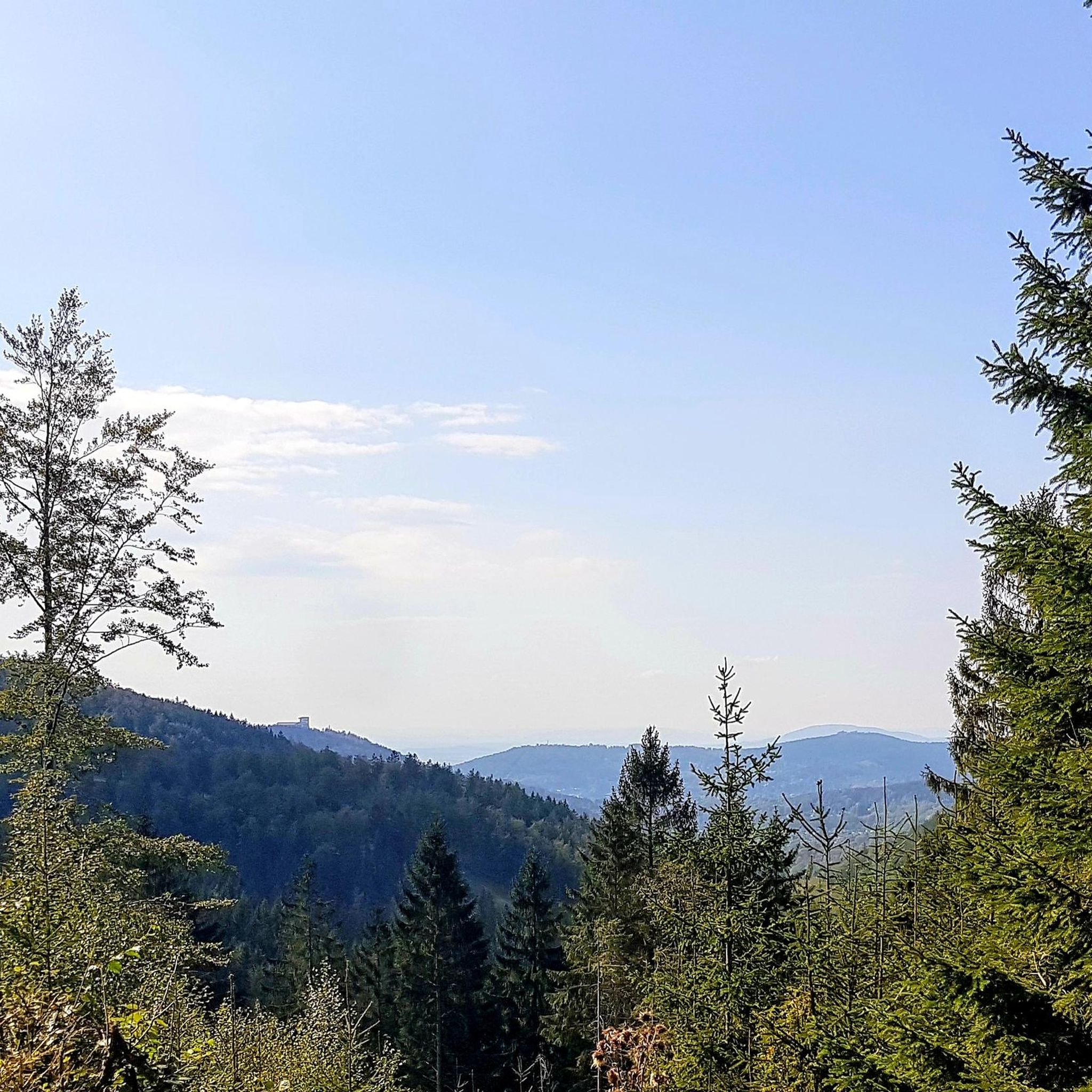
This section of the trail passes by some striking remnants of the region's industrial past: the former King Powder Company and Peters Cartridge Company factories. These historic buildings have been revitalized and now house Cartridge Brewing Co. and the Peters Cartridge Factory Apartments.
0
0
The Little Miami Scenic Trail is a 78-mile multi-use trail that runs through southwestern Ohio, connecting Newtown to other communities and scenic areas. The trail is part of the larger Ohio to Erie Trail network, offering a paved, multi-use path for cyclists, walkers, and runners. In Newtown, the trail runs right alongside the Little Miami River, providing nice views and a peaceful setting. It features well-maintained, paved surfaces, making it suitable for all ages and fitness levels.
0
1
This public landing is along the Ohio River Trail is a nice spot to stop for a quick dip or to just enjoy the views over the water. It is also near the National Steamboat Monument and the Great American Ball Park.
0
0
Geier Pond is a scenic, small water pond that is a little hard to see from the road. Sometimes, however, you might see ducks, birds, and other creatures nearby. It is located off of Kugler Mill Road, which is a pretty, quite road to ride along.
0
0

Wasson Way is a 6-mile long multi-use trail that is popular with walkers, runners and cyclists. It passes through several parks and links up with multiple other trails, so it is a great place for a long walk.
1
0

Great spot for a cycling break. Public restrooms, several restaurants, and next-to-trail camping just south of town
1
0

One of the navigational landmarks in the area! You'll run right past it if you do the annual Flying Pig Marathon!
0
0
Frequently Asked Questions
How many road cycling routes are available around Dillonvale?
There are over 35 road cycling routes around Dillonvale, offering a variety of options for different skill levels. The komoot community has explored these routes over 600 times.
What kind of terrain can I expect when road cycling near Dillonvale?
The landscape around Dillonvale is characterized by rolling hills and scenic river valleys. You can expect varied terrain with inclines and descents, particularly along routes that follow the Ohio River or venture into the wooded hills of Jefferson County. While some areas might have rougher roads, many sections offer paved surfaces suitable for road biking.
Are there any easy or family-friendly road cycling routes in the area?
Yes, there are 14 easy road cycling routes around Dillonvale. An example of an easy route that offers a mix of urban and scenic river views is the Cincinnati Flying Pig Statues – Purple People Bridge loop from Columbia Township, which is 20.6 miles long.
Where can I find scenic viewpoints or natural features along the routes?
Many routes offer scenic views, especially those along the Ohio River Scenic Byway, which provides breathtaking river vistas. You might also encounter natural features like Kroger Hills, a beautiful forest area, or even Buckeye Falls, a waterfall, depending on your chosen route.
What do other cyclists say about road cycling in Dillonvale?
The road cycling routes in Dillonvale are highly rated by the komoot community, with an average score of 4.9 stars from over 9 reviews. Cyclists often praise the varied terrain, which includes both challenging climbs and scenic descents through river valleys and wooded areas.
Are there any challenging routes for experienced road cyclists?
Yes, for experienced cyclists seeking a challenge, there are 21 moderate and 1 difficult route available. The Kroger Hills – Kroger Hills loop from Blue Ash is a moderate 33.1-mile route featuring significant elevation gain through rolling terrain, making it a popular choice for those looking for a workout.
What is the best time of year to go road cycling in Dillonvale?
The region's rolling hills and wooded areas are particularly beautiful during spring and autumn, offering pleasant temperatures and vibrant foliage. Summer can also be enjoyable, but it's always wise to check local weather conditions before heading out.
Are there loop trails available for road cycling?
Yes, many of the road cycling routes around Dillonvale are designed as loops. For example, the Milford – Signal of Little Miami River Railroad loop from Remington is a 25.7-mile trail that takes you through river valleys and past natural features.
What are the options for parking when accessing road cycling routes?
While specific parking details for each route vary, many road cycling routes in the Dillonvale area, especially those near towns or parks, typically offer designated parking areas. It's advisable to check the starting point of your chosen route on komoot for detailed parking information.
Can I find paved roads suitable for road biking around Dillonvale?
Yes, many roads in Jefferson County and along the Ohio River Scenic Byway are paved and suitable for road biking. While some sections might be industrial or have traffic, many parts offer scenic stretches with wide shoulders, providing good conditions for road cyclists.
Are there any amenities like cafes or restaurants near the cycling routes?
Dillonvale itself is a quiet community, but its proximity to nearby towns along the Ohio River and within Jefferson County means you can find amenities like cafes, pubs, and restaurants. Planning your route to pass through these towns can provide convenient stops for refreshments.
What kind of wildlife might I encounter while cycling?
The natural areas around Dillonvale, including wooded hills and river valleys, are home to diverse wildlife. You might spot white-tailed deer, wild turkey, and various bird species, especially on routes that pass through less developed areas or near parks like Dillon State Park.
Most popular routes around Dillonvale
Most popular attractions around Dillonvale

Get inspired with the komoot mobile app


Explore more
Browse the best Road cycling routes in other regions.
