The best road cycling routes around Engelschoff
4.7
(160)
1,333
riders
120
rides
Road cycling around Engelschoff offers routes through diverse landscapes near the Elbe River. The region features the Elbe Dyke, expansive green meadows, and agricultural areas like the Altes Land. Moorlands and wetlands are also present, providing varied terrain for road cyclists. Well-maintained cycle paths lead along the Elbe and through the surrounding countryside.
Best road cycling routes around Engelschoff
- The most popular road cycling route is Historic Gräpel cable ferry – Osteschleifen Nature Reserve loop from Himmelpforten, a 25.9…
Last updated: October 18, 2026
5.0
(2)
27
riders
41.5km
01:37
70m
70m
Easy road ride. Great for any fitness level. Mostly well-paved surfaces and easy to ride.
4
riders
Moderate road ride. Good fitness required. Mostly well-paved surfaces and easy to ride.

5.0
(1)
10
riders
Moderate road ride. Good fitness required. Some segments of this route may be unpaved and difficult to ride.
5.0
(2)
10
riders
Easy road ride. Great for any fitness level. Mostly well-paved surfaces and easy to ride.
6
riders
Easy road ride. Great for any fitness level. Mostly well-paved surfaces and easy to ride.
Get access to more routes and recommendations from other explorers.
Already have an account?
Our route recommendations are based on thousands of hikes, rides, and runs completed by other people on komoot.
Start today with a free account
Your next adventure awaits.
Tips from the Community

The Gräpel punt ferry is a historic, hand-operated chain punt ferry that connects the village of Gräpel (municipality of Estorf) with the western bank. It is located not far from Stade and is a popular, enchanting excursion destination for cyclists and hikers as well as for walkers. The operating times and prices for the season: From May 1st to October 15th. Daily ferry times: From 10:00 AM to 7:00 PM (outside these times by arrangement or by ringing the bell) on the bank. Price: A symbolic amount of €1.00 per person (including bicycle). Important notes for the crossing: Manual operation: The ferry has no engine and is pulled across the river on a submerged chain using muscle power. Assistance: It is customary for passengers to help pull; work gloves are provided on site. Capacity: Up to 20 to 30 people with bicycles can fit. Refreshments: The Gasthof Plate's Osteblick is located directly at the ferry landing stage.
0
0
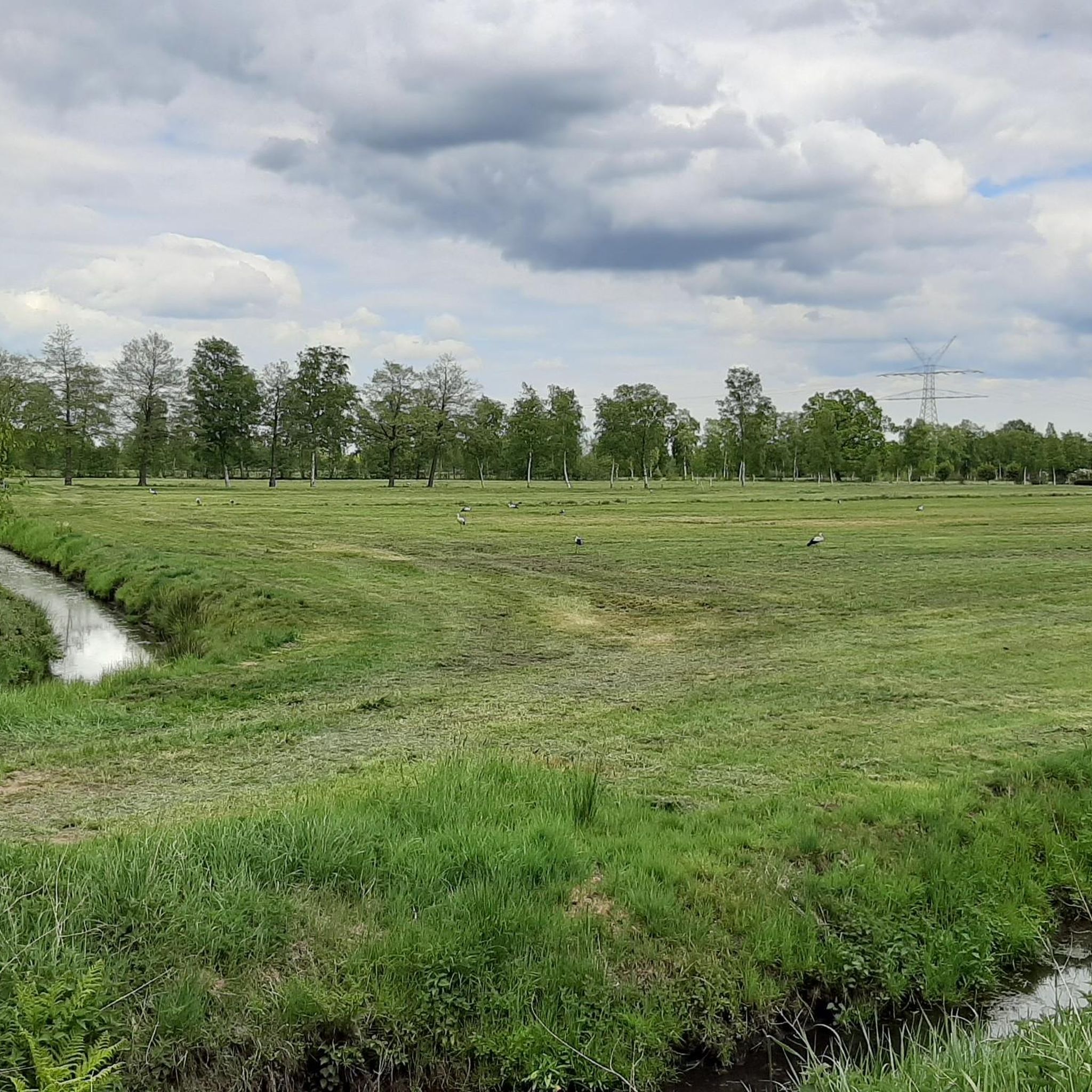
Here are the highlights; From Stade, along the Schwingedeich and in Wöhrden, we rode on the Butendiek (discover a new route). Great views of Stade, the St. Cosmae church tower, as well as the Schwinge and the surrounding 💚 landscape can be seen from here. Great photos of the Schwinge swing bridge, as well as of the power pylons can be photographed here. The route continues here to the Motor - und Yachtclub Stade e.V., great insights into the yacht club can be seen here. Here you are in a dead end and have to ride back. Also suitable and recommended as a hiking trail 👍🏼.
3
0
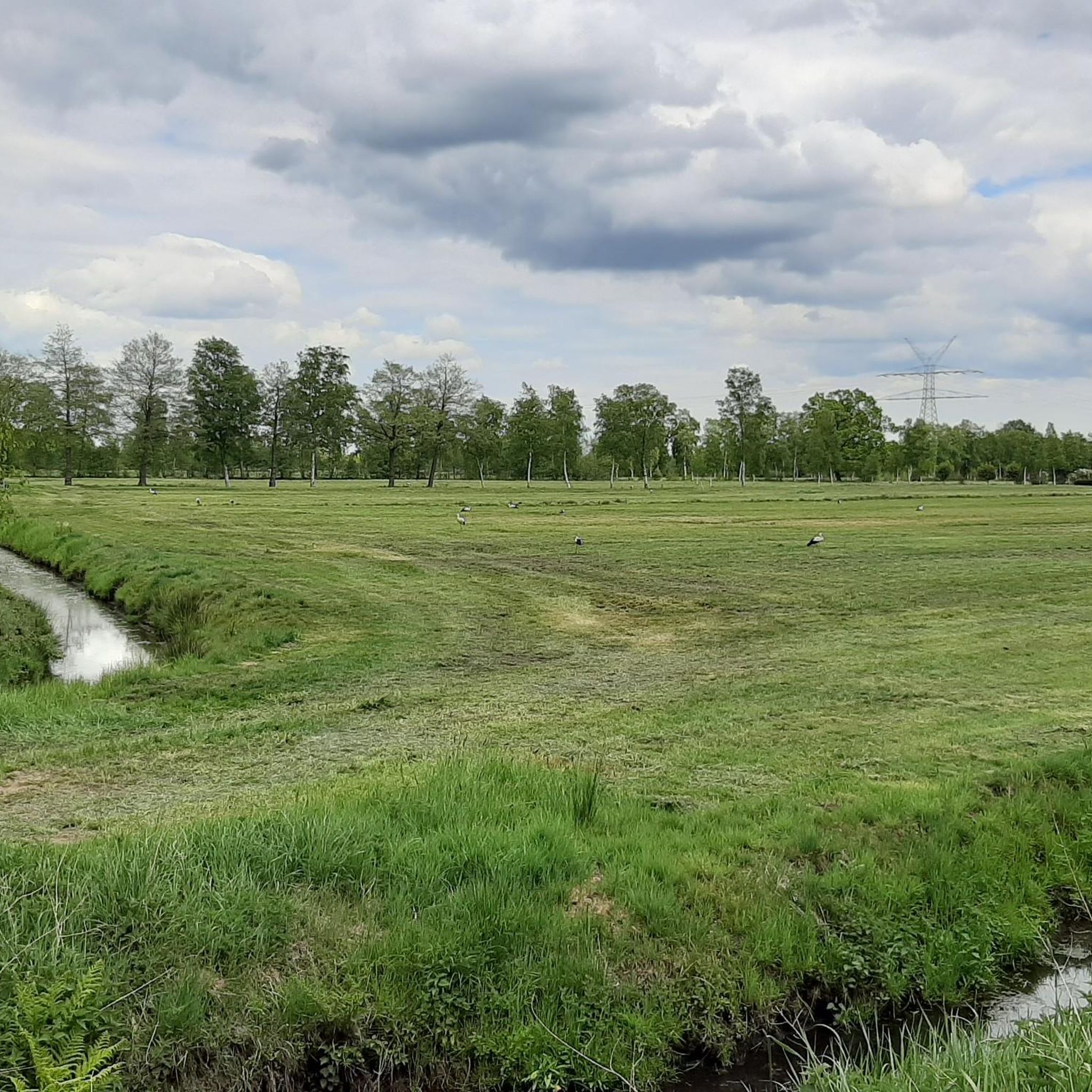
A great bike and hiking trail runs here amidst beautiful nature 💚 by the old milk collection point. A bridge leads across the Brandmoorgraben. At the end of the trail, there is a park bench. In Burweg, you can find the war memorial. From: 1914 - 1918 1939 - 1945 Between the section from Himmelpforten, along Burweger Straße to Burweg.
2
0

Historic barge rope ferry across the Oste
0
0
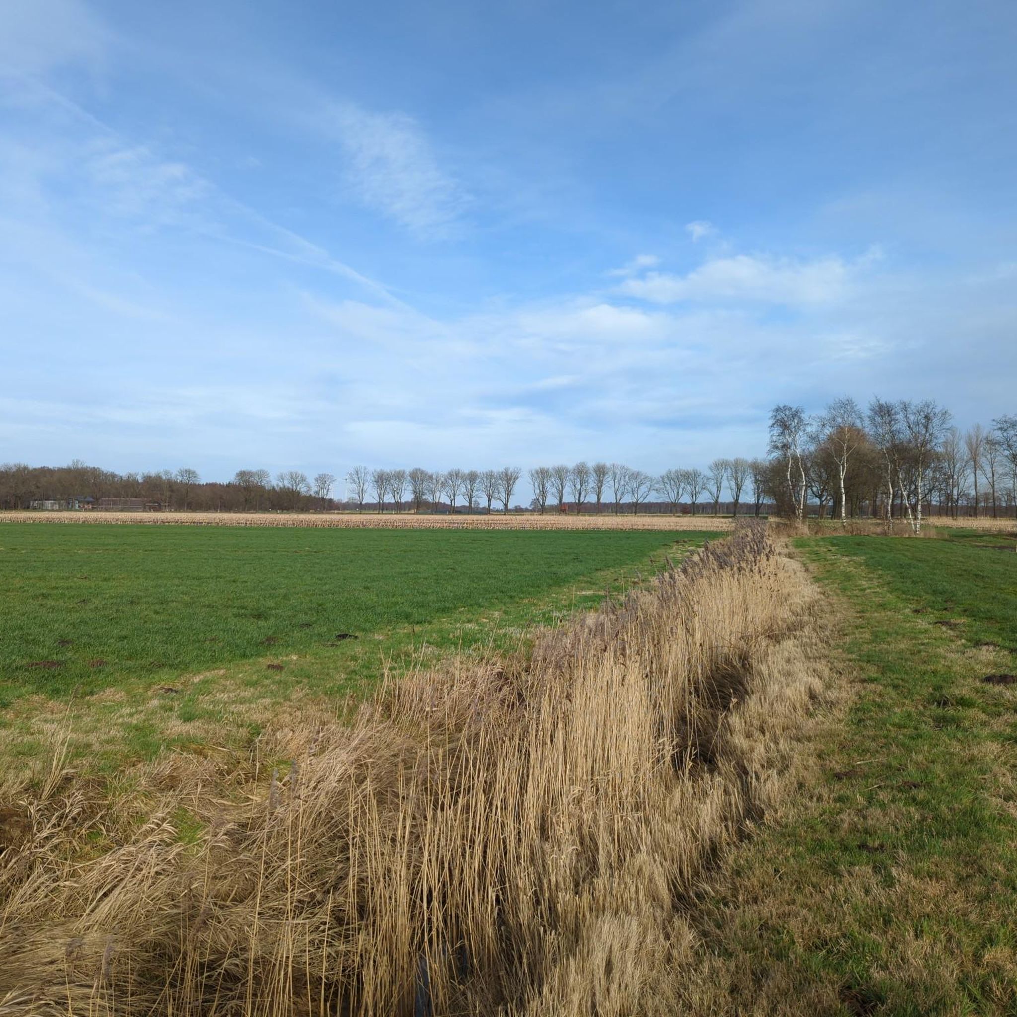
Super bike route leads from one ferry to another along the dike amidst beautiful nature 💚.
1
0

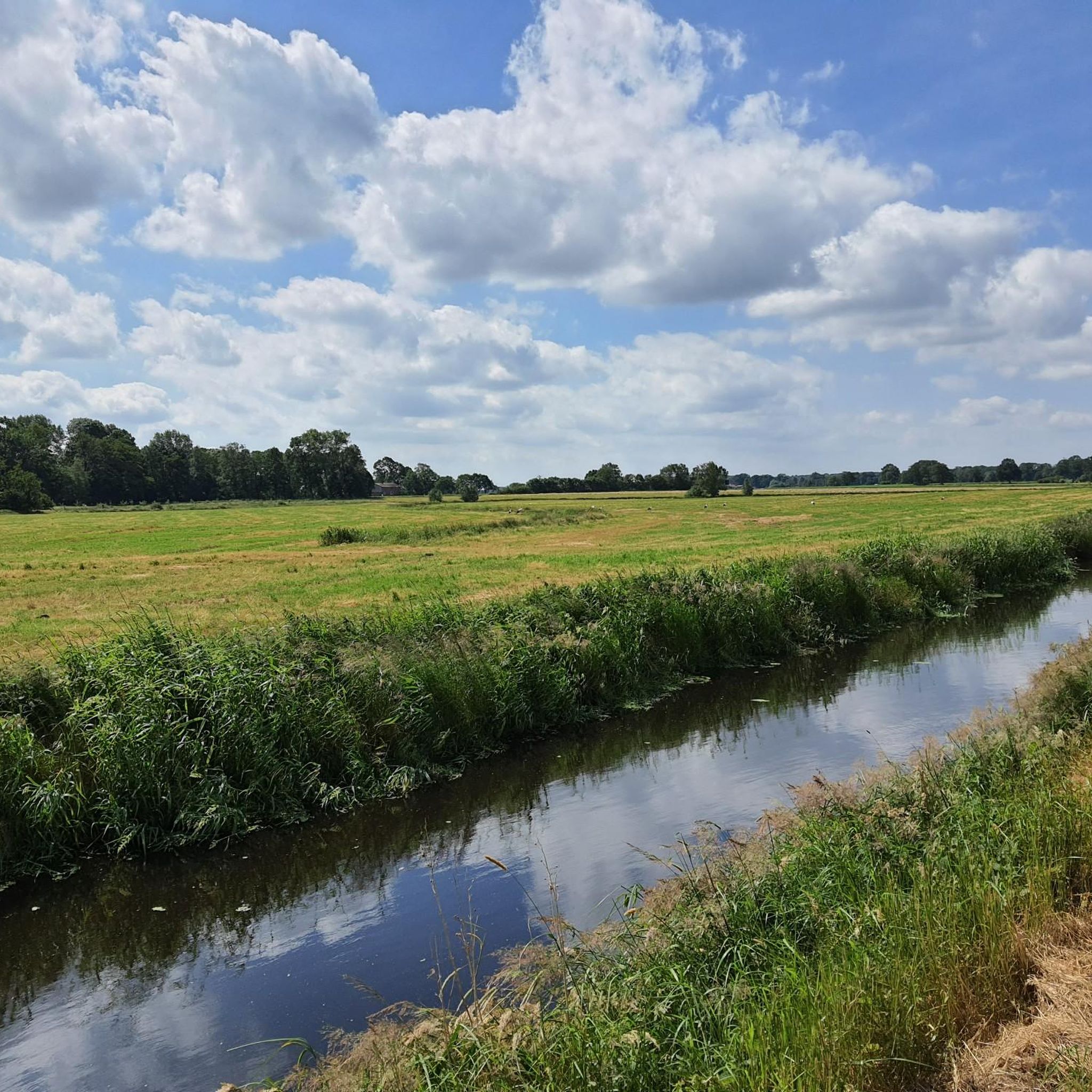
The dykes on the Lühe are listed as historical monuments. The villages on both sides of the Lühe: Mittelnkirchen Ort, Mittelnkirchen Hohenfelde, Neuenkirchen east of the river and Bergfried and Guderhandviertel west of the river are typical, historic dyke-strip villages of the Altes Land – just like Leeswig, Königreich, Hove and Moorende on the Este –. They follow the curves of the river, as do the dyke and the road. The farmhouses face the dyke with their decorated gables, separated from each other by ditches, with the typical front gardens. The farm buildings, orchards, the historic strips of the agricultural land extend behind the houses in long strips.
0
0
Very great cycling and hiking route runs here along the Ostedeich. The ferryman is very nice and takes guests across the Oste. The Osteblick guesthouse offers many different seating options directly on the Oste. The service is recommendable, very nice and friendly. There are new public toilets to the right of the guesthouse.
5
0
Very great bike and hiking route runs here along the Ostedeich. The ferryman is very nice and takes guests across the Oste. The Gasthaus Osteblick offers many different seating options right on the Oste. The service is recommendable, very nice and friendly. New are public toilets to the right of the Gasthaus.
8
1
Frequently Asked Questions
What kind of terrain can I expect on road cycling routes around Engelschoff?
Road cycling routes around Engelschoff primarily feature flat to gently rolling terrain, characteristic of the North German Plain. You'll encounter well-maintained paths along the Elbe Dyke, through expansive green meadows, and agricultural areas like the Altes Land. Some routes also venture into moorlands and wetlands, offering varied scenery without significant elevation changes.
How many road cycling routes are available in the Engelschoff area?
There are over 130 road cycling routes available around Engelschoff, catering to various skill levels. This includes 34 easy routes and 97 moderate routes, ensuring options for both casual riders and those seeking longer distances.
Are there any easy road cycling routes suitable for beginners or families in Engelschoff?
Yes, Engelschoff offers several easy road cycling routes perfect for beginners or families. For instance, the Oste River View at Kranenburg loop from Himmelpforten is an easy 19.9 km (12.4 miles) ride, providing a pleasant experience with minimal elevation gain.
What are some notable landmarks or attractions I can see along the road cycling routes?
Many routes offer views of the Elbe River and lead through scenic areas like the Altes Land. You can also integrate visits to historical sites such as the Old Harbor and Fish Market Stade or the Grauerort Fortress. The historic Osten Suspension Ferry over the Oste River is another unique sight.
Are there any long-distance road cycling options or connections to broader networks?
Yes, Engelschoff is part of broader cycling networks. The renowned Elbe Cycle Path runs nearby, offering hundreds of kilometers of scenic riding. The area also connects to long-distance routes across Bremen, Lower Saxony, and Schleswig-Holstein, and is part of the North Sea Coast Cycle Route (D-Route 1), providing extensive options for longer tours.
What is the best time of year for road cycling in Engelschoff?
The best seasons for road cycling in Engelschoff are spring and summer, when temperatures are mild and nature is in full bloom. Autumn also offers beautiful scenery, especially in the Altes Land during the harvest season, with vibrant changing colors.
Are there circular road cycling routes available around Engelschoff?
Yes, many routes around Engelschoff are designed as loops. An example is the Historic Gräpel cable ferry – Osteschleifen Nature Reserve loop from Himmelpforten, a moderate 41.7 km (25.9 miles) route that allows you to start and finish at the same point.
What do other road cyclists enjoy most about the routes in Engelschoff?
The road cycling routes in Engelschoff are highly rated by the komoot community, with an average score of 4.9 stars. Reviewers often praise the diverse landscapes, including the Elbe Dyke and the Altes Land, as well as the well-maintained cycle paths that cater to various skill levels.
Are there any routes that offer scenic viewpoints?
Many routes along the Elbe Dyke provide breathtaking views of the river and the surrounding countryside. The Oste River View at Kranenburg – Osteschleifen Nature Reserve loop from Himmelpforten offers picturesque river views and takes you through natural areas.
Where can I find cafes or pubs along the road cycling routes in Engelschoff?
While specific cafes and pubs vary by route, the region, especially around the Altes Land and the Elbe, has numerous small towns and villages where you can find places to stop for refreshments. The nearby Hanseatic city of Stade also offers a wide selection of eateries.
What are some of the more challenging road cycling routes in the area?
For those seeking a longer challenge, the St. George's Church Oberndorf – Altendorfer Border Path loop from Himmelpforten is a moderate 95.0 km (59.0 miles) route. Another option is the Hogendiek Bridge over the Lühe – St. Marien Church Grünendeich loop from Himmelpforten, which covers 61.3 km (38.1 miles).
Most popular attractions around Engelschoff

Get inspired with the komoot mobile app


Explore more
Browse the best Road cycling routes in other regions.
