The 6 Most Amazing Peaks around Haibach Ob der Donau
Best mountain peaks around Haibach Ob der Donau are characterized by a picturesque, hilly landscape with several elevated points offering remarkable views. The municipality's elevation ranges from 287 to 563 meters above sea level, providing diverse terrain for outdoor activities. The region features an extensive network of well-marked hiking trails and walking paths. These elevated areas offer panoramic views of the Donautal valley and the surrounding Eferding area.
Best mountain peaks around Haibach Ob der Donau
- The most popular mountain…
Last updated: July 1, 2026
Mayrhofberg Observation Tower
Highlight • Viewpoint
Translated by Google •
Tip by

Lutzenkreuz
Highlight • Summit
A popular destination for everyone because it is easy to reach...on foot or by bike. A wonderful place to rest or for a bike ride.
Translated by Google •
Tip by

Sign up now to discover places like this
Get recommendations on the best single tracks, peaks, & plenty of other exciting outdoor places.
Sign up for free
Kirnberg (435 m)
Highlight • Summit
Translated by Google •
Tip by

Kalvarienberg Chapel
Highlight • Religious Site
Translated by Google •
Tip by

Seilerberg – Highest Point of Hofkirchen im Mühlkreis
Highlight • Summit
Translated by Google •
Tip by

Sign up for free to discover even more peaks around Haibach Ob der Donau.
Sign up for free
Already have an account?
Start today with a free account
Your next adventure awaits.
Login or Signup
Popular around Haibach ob der Donau

Danube Trail – Legendary long-distance hiking along the Danube River

Simply amazing – 13 hikes along the Donausteig
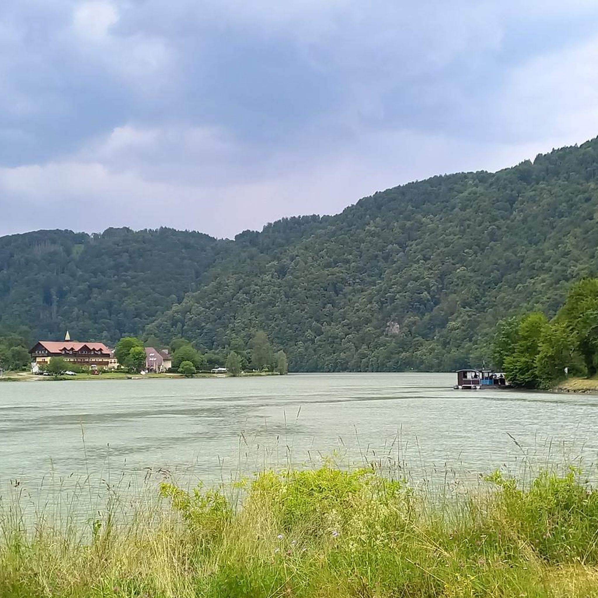
Hiking around Haibach Ob der Donau
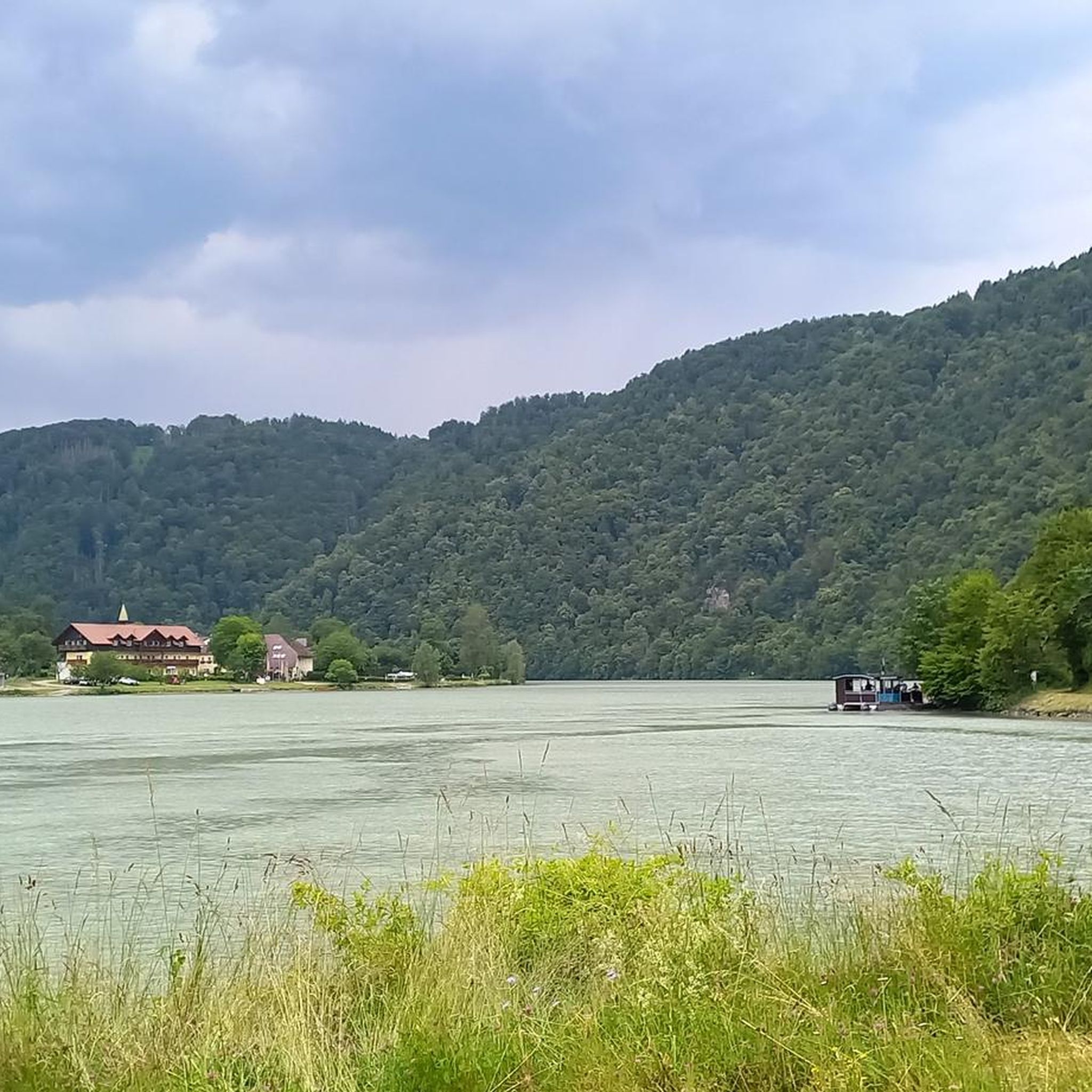
Cycling around Haibach Ob der Donau
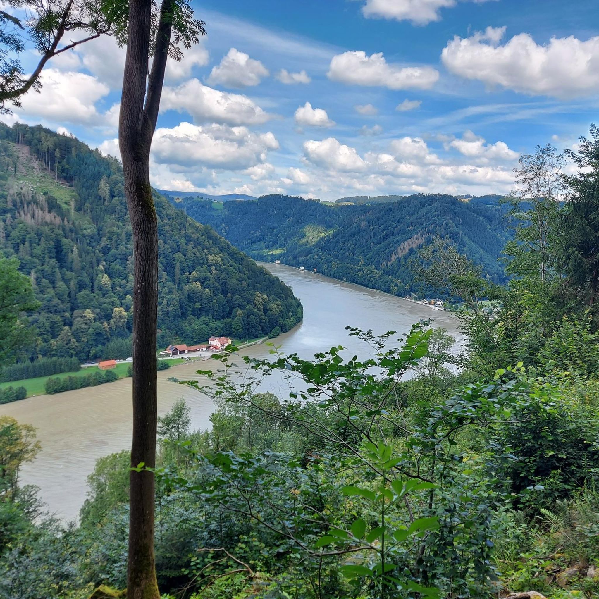
MTB Trails around Haibach Ob der Donau
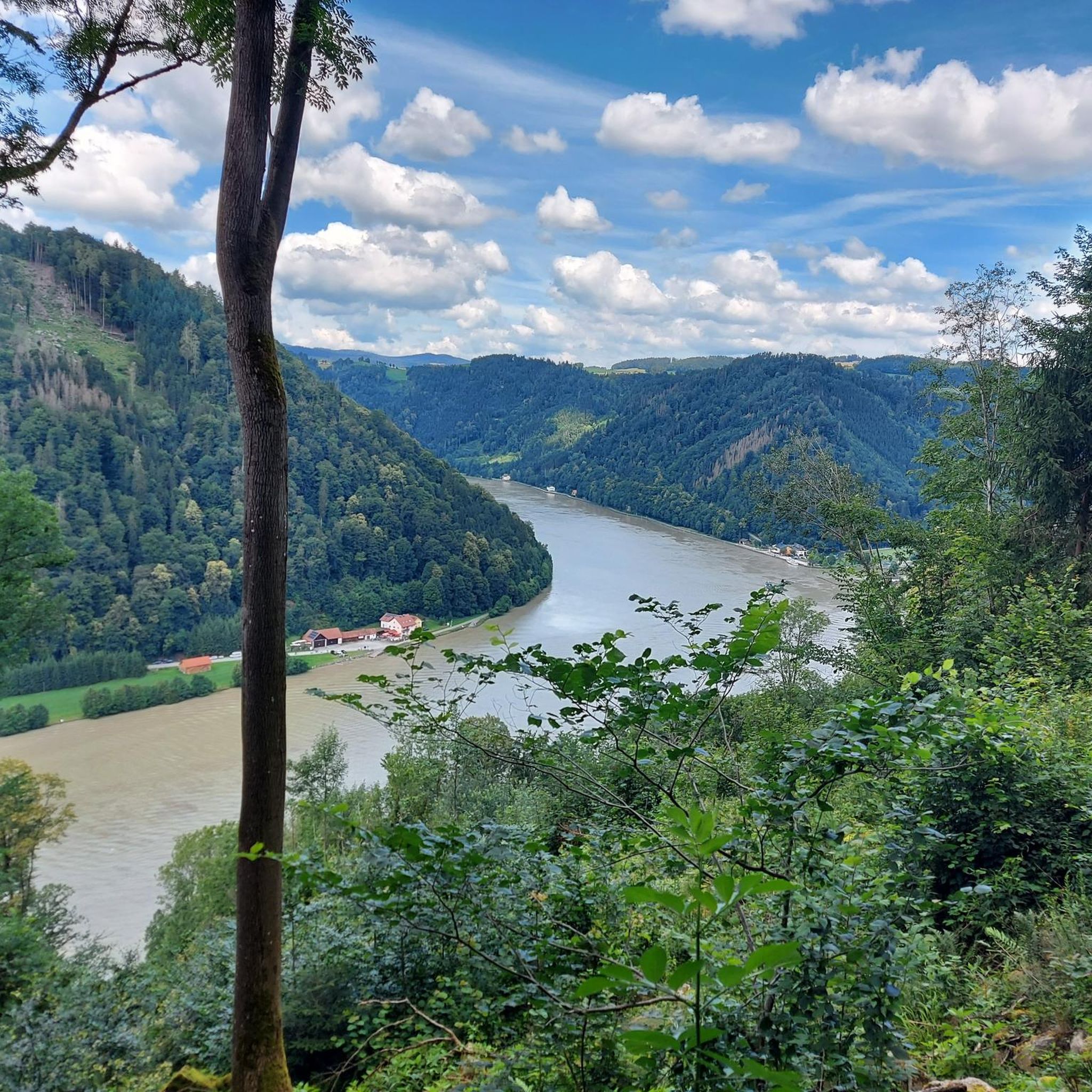
Road Cycling Routes around Haibach Ob der Donau
Running Trails around Haibach Ob der Donau

Gravel biking around Haibach Ob der Donau

Mountain Hikes around Haibach Ob der Donau


Tips from the Community

Singletrack trail at 808 m, highest point in Hofkirchen im Mühlkreis.
0
1

The Mayrhofberg is adorned with a tower and a summit cross with some benches.
2
0

Well, the hike went okay. The observation tower is nice with a nice view, but the trail is very poorly signposted.
2
0
The Calvary Hill is the highest elevation in the municipality (562 m) with a chapel.
0
0
Panoramic view across the Danube to Kirchberg ob der Donau.
0
0
The Kirnberg is only for those who like to climb peaks - no view - or for hunters. There are lots of tree stands on this route and we spotted lots of deer.
0
0
The Lutzenkreuz is the highest elevation in the Mühlviertel municipality of Putzleinsdorf and is beautifully situated in the forest with a lovely rest area.
0
1

Very nice view and area. Recommended.
0
0
Frequently Asked Questions
What are the most notable elevated points and viewpoints in the Haibach ob der Donau region?
The region, characterized by its picturesque hilly landscape, offers several elevated points with remarkable views. Key highlights include the Mayrhofberg Observation Tower, which at 655 meters is the highest elevation in the Eferding and Grieskirchen districts. The Kalvarienberg Chapel, at 562 meters, is the highest point within the Haibach ob der Donau municipality itself, offering panoramic views across the Danube. Additionally, the Schlögener Schlinge viewpoints, such as Schlögener Blick and Steiner Felsen, provide breathtaking vistas of the Danube's dramatic 180-degree bend.
Are there family-friendly elevated points or hikes in Haibach ob der Donau?
Yes, several elevated points are suitable for families. The Kalvarienberg Chapel is easily accessible from the town center via a hiking trail, with some paved sections even suitable for strollers. The Lutzenkreuz is also noted as a family-friendly destination, easy to reach on foot or by bike. The path to the Schlögener Blick viewpoint is generally suitable for various fitness levels, and a flatter meadow and forest path leads to the Steiner Felsen viewpoint from the 'Stoana' parking lot, making it a shorter, easier walk.
What kind of views can I expect from the elevated points in Haibach ob der Donau?
From the elevated points in Haibach ob der Donau, you can expect spectacular panoramic views. For instance, the Kalvarienberg Chapel offers a magnificent 360-degree vista that, on clear days, can stretch from the Bohemian Forest (Böhmerwald) to the Dachstein mountain range. Viewpoints overlooking the Schlögener Schlinge provide iconic perspectives of the Danube River's dramatic bend and the surrounding forested valleys.
What hiking opportunities are available around Haibach ob der Donau?
The region boasts an extensive network of well-marked hiking trails and walking paths that lead to various viewpoints and through scenic forested hills. The Donausteig trail passes through the area, and the Ciconia Way guides hikers through the distinctive nature of the Danube region, including to the Steiner Felsen viewpoint. You can find numerous routes for different sports, including running trails, cycling routes, and road cycling routes, many of which offer views of the Danube loop.
Where is the highest point within the municipality of Haibach ob der Donau?
The highest point within the municipality of Haibach ob der Donau is the Kalvarienberg Chapel, reaching an elevation of 562 meters. It offers a magnificent panoramic view across the Danube.
Are there any other significant high points nearby, outside the immediate municipality?
Yes, the broader region features other significant high points. The Mayrhofberg Observation Tower, at 655 meters, is the highest elevation in both the Eferding and Grieskirchen districts. The Lutzenkreuz, at 907 meters, is the highest point in the municipality of Putzleinsdorf. Additionally, the Seilerberg is the highest point of Hofkirchen im Mühlkreis at 808 meters.
What is the Schlögener Schlinge and how can I see it?
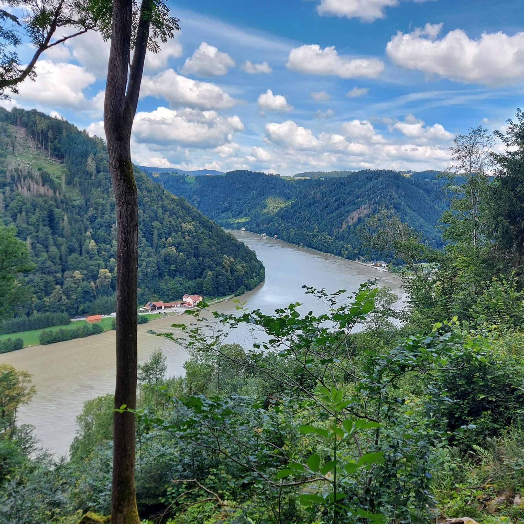
The Schlögener Schlinge (Schlögen Loop) is a famous natural wonder where the Danube River makes a dramatic 180-degree turn. You can experience its breathtaking beauty from several elevated viewpoints. The Schlögener Blick is a well-known viewpoint, accessible via a well-marked hiking trail from Schlögen. Another excellent vantage point is the Steiner Felsen, reachable by hiking from Schlögen or Inzell, or via a shorter path from the 'Stoana' parking lot in Eckersdorf.
What are some popular cycling routes around Haibach ob der Donau?
The area offers diverse cycling opportunities. Popular routes include the 'Steinerberg Danube Loop' and the 'Danube Cycle Path' which provides views of the Danube loop from Haibach ob der Donau. For road cycling, routes like the 'Schlögen Loop – Parish Church of Haibach' are well-regarded. You can explore more options in the Cycling around Haibach Ob der Donau guide and the Road Cycling Routes around Haibach Ob der Donau guide.
Are there any historical or cultural sites on these elevated points?
Yes, the Kalvarienberg Chapel is a religious building located at the highest point within the Haibach ob der Donau municipality. A section of the hiking trail leading to it features a Stations of the Cross. The Kalvarienberg is also a convenient starting point for further excursions, such as to the Stauf Castle ruins.
What do visitors particularly enjoy about the elevated points in this region?
Visitors frequently praise the spectacular panoramic views, especially those of the Danube River and the surrounding Upper Austrian landscape. The extensive network of well-maintained hiking trails, catering to various difficulty levels, is also a major draw. The natural beauty, clean air, and unspoiled surroundings make it ideal for relaxation and immersion in nature. The accessibility of many trails, with some suitable for families and strollers, is also highly appreciated.
Is there parking available near the hiking trails and viewpoints?
Yes, for instance, a short 5-10 minute walk to the Steiner Felsen viewpoint is possible from the 'Stoana' car park in Eckersdorf. Many trailheads and popular viewpoints typically have designated parking areas, though it's always advisable to check specific locations beforehand.
What is the <a href="https://www.komoot.com/highlight/327399" target="_blank" rel="noopener">Kirnberg (435 m)</a> known for?
The Kirnberg (435 m) is recognized as the highest elevation in the Eferding Basin. While it is a summit, it is noted for not offering expansive views, making it more appealing to those who enjoy the challenge of reaching a peak rather than panoramic vistas.
Most popular routes around Haibach Ob der Donau
Most popular attractions around Haibach Ob der Donau

Get inspired with the komoot mobile app


Explore more
See even more amazing summits around Haibach Ob der Donau with these guides:
