The best road cycling routes around Richfield
271
riders
33
rides
Road cycling around Richfield, Utah, offers diverse landscapes for riders, from red rock canyons and high desert to forested mountains and wide-open valleys. The region features dedicated routes like the Sevier Highway, providing scenic views and access to cultural sites. Richfield's central location also serves as a gateway to larger natural attractions, with a developing cycling infrastructure. The area's terrain includes both gentle valley roads and climbs into higher elevations.
Best road cycling routes in Richfield
- The most popular road…
Last updated: July 12, 2026
3
riders
52.9km
02:36
570m
580m
Cycle the moderate 32.9-mile High Point loop in Cuyahoga Valley National Park, gaining 1886 feet in elevation over 2 hours and 35 minutes.
44
riders
If you're seeking a rewarding road cycling experience that combines natural beauty and historical elements, the Beaver Marsh – Nice covered bridge loop in Cuyahoga Valley National Park is a…

Sign up for free
33
riders
Moderate road ride. Good fitness required. Some segments of this route may be unpaved and difficult to ride.
23
riders
42.4km
01:56
440m
440m
This moderate 26.4-mile (42.4 km) road cycling loop, the Brecksville-Northfield Bridge – Deer Lick Cave, offers a fantastic workout with 1439 feet (438 metres) of elevation gain, typically completed in…
16
riders
Moderate road ride. Good fitness required. Some segments of this route may be unpaved and difficult to ride.
Get access to more routes and recommendations from other explorers.
Sign up for free
Already have an account?
Our route recommendations are based on thousands of hikes, rides, and runs completed by other people on komoot.
Start today with a free account
Your next adventure awaits.
Login or Signup
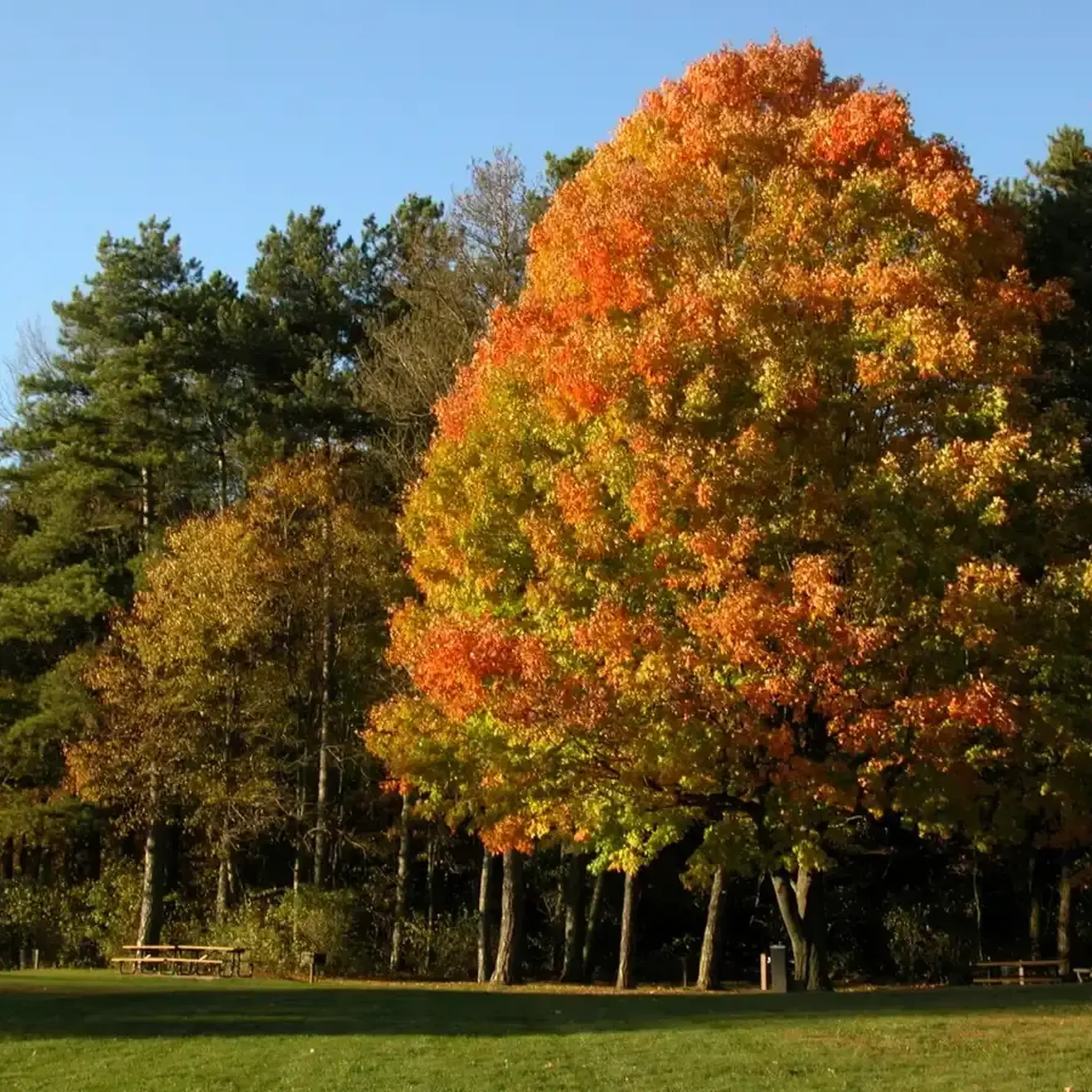
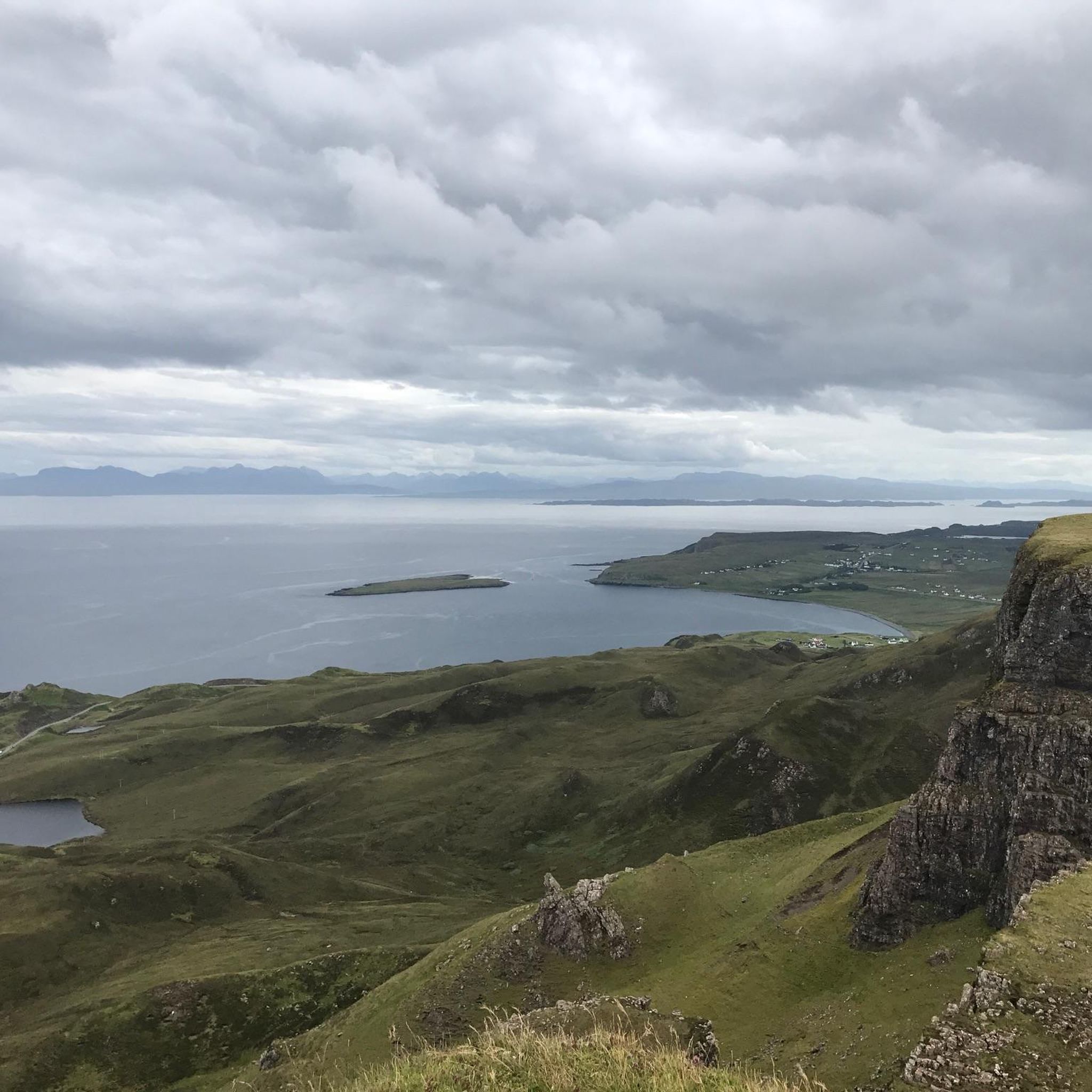
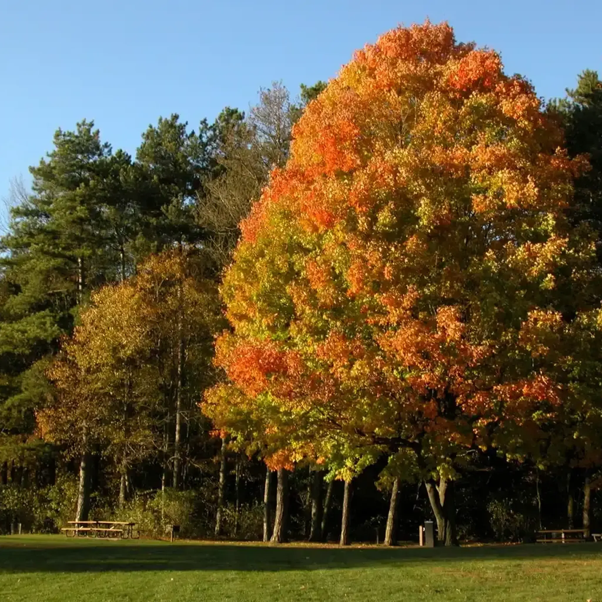
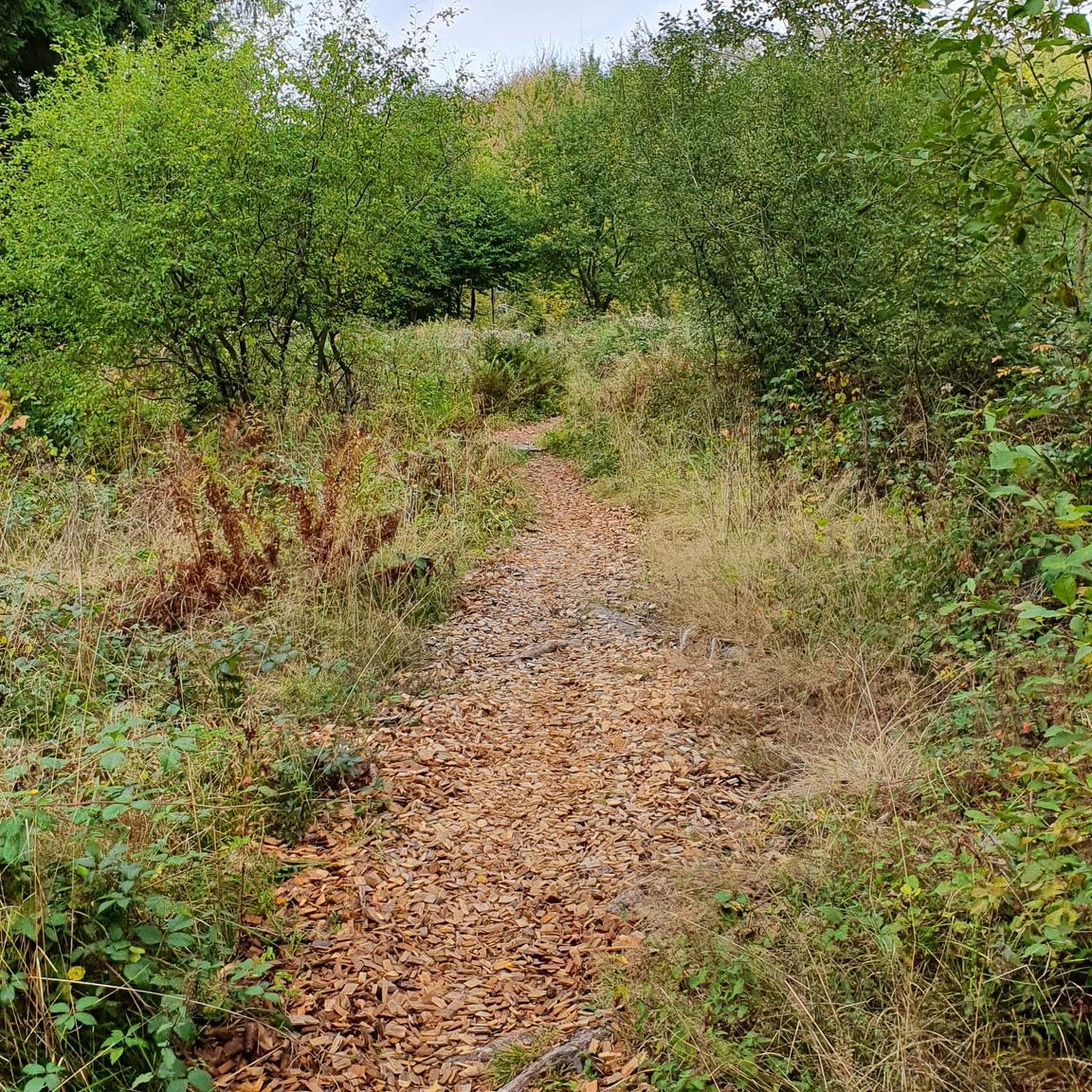

Tips from the Community

The Exploration Center is well worth a visit if you are venturing out on the O&E Towpath. The center is small, but holds a lot of history from mid-19th century America. There are restrooms at the trailhead which remain open, even when the center is closed.
0
0
The now-overgrown lock was once an integral part of the Ohio & Erie Canal. A sign by on the towpath tells the history of the old lock.
0
0

Lock 37, located along the Ohio & Erie Canal in Cleveland, offers a glimpse into the region's rich canal history. The site features a preserved lock, which was once part of the canal system that facilitated trade and transportation. Visitors can learn about the canal's role in local development while enjoying scenic views of the waterway and surrounding nature.
1
0
Tinker’s Creek Gorge Scenic Overlook offers a breathtaking view of the gorge and its cascading waterfalls. Whether you're cycling, hiking, or simply enjoying the scenery, the overlook provides panoramic views of the lush landscape and the deep, winding gorge below. The area is accessible and offers a quiet, serene atmosphere, ideal for those looking to connect with nature.
1
0

Once upon a time (but really not that long ago), mules walked this towpath as they hauled boats up and down the Ohio & Erie Canal. Nowadays, the towpath is a wonderful multi-use trail that threads alongside the canal and through the occasional bridge, like this one.
0
0

At this spot on the Ohio & Erie Canal Townpath Trail, you pass under I-80. You get a truly unique view of the underside of the highway and of the Cuyahoga River.
0
0

The Ohio & Erie Canal Reservation is a 4.4 mile long nature preserve along the Cuyahoga River. The Ohio & Erie Canal Towpath Trail runs through the park, so you get a great look at the beautiful green area.
0
0

From 1827 to 1913, this path was used for mules to pull canal boats with passengers along the Ohio & Erie Canal. The trail follows the path as closely as possible, with plenty of trails and areas to explore.
1
0
Frequently Asked Questions
How many road cycling routes are available around Richfield?
Richfield offers a diverse network of over 30 road cycling routes. These routes cater to various skill levels, from easy rides to more challenging paths with significant elevation changes, allowing you to explore the region's red rock canyons, forested mountains, and wide-open valleys.
Are there any easy or beginner-friendly road cycling routes in Richfield?
Yes, Richfield has several options suitable for beginners. There are 8 easy routes that provide a gentle introduction to road cycling in the area. These routes typically feature less elevation gain and cover shorter distances, perfect for a relaxed ride.
What are some longer road cycling routes for experienced riders?
For experienced riders seeking a challenge, Richfield offers several longer routes. The Cuyahoga River Bridge – Cleveland Lakefront Bikeway loop from Brecksville is a notable option, covering approximately 54.6 miles (87.9 km) with moderate climbs. Another popular choice is the Belltower Brewing – Darrow Lake loop from Brecksville, which spans about 40.3 miles (64.8 km).
Are there any loop road cycling trails in Richfield?
Yes, many of Richfield's road cycling routes are designed as loops, offering a continuous scenic experience. A popular example is the High Point loop, a 32.9-mile (52.9 km) route that takes you through varied terrain with significant elevation gain. Another is the Brecksville-Northfield Bridge – Deer Lick Cave loop from Brecksville, a 26.4-mile (42.4 km) trail through forested areas.
What is the best time of year for road biking in Richfield?
Richfield's central location in Utah allows for varied cycling experiences. While the region offers diverse landscapes year-round, the summer months are particularly pleasant, especially at higher elevations like Fishlake National Forest, which is over 8,800 feet. Spring and fall also offer comfortable temperatures and beautiful scenery for road cycling.
What kind of amenities can I find near the bike trails, such as cafes or lodging?
Richfield offers a small-town atmosphere with local shops, restaurants, and various lodging options. The city is actively enhancing its cycling infrastructure and some accommodations may offer bike-friendly amenities like secure storage. For specific cafe stops, you might find options in Richfield itself or along routes that pass through other small towns.
What scenic viewpoints or natural features can I expect to see on Richfield's road cycling routes?
Richfield's road cycling routes offer stunning natural beauty, from red rock canyons and high desert to forested mountains and wide-open valleys. You can expect to see diverse terrain, including aspen groves and access points to Fishlake National Forest. The Ledges Overlook is a notable viewpoint, and routes may pass by natural features like Beaver Marsh.
Are there any waterfalls or interesting landmarks to explore near the road cycling routes?
Yes, several routes offer access to natural landmarks. You can find beautiful waterfalls like Brandywine Falls, Blue Hen Falls, and Linda Falls. Additionally, the Brecksville-Northfield Bridge – Deer Lick Cave loop from Brecksville passes near Deer Lick Cave, offering a unique natural stop.
What do other road cyclists enjoy most about road cycling in Richfield?
The road cycling routes around Richfield are highly rated by the komoot community, with an average score of 4.8 stars. Reviewers often praise the diverse landscapes, from red rock canyons to forested mountains, and the variety of routes suitable for different skill levels. The dedicated Sevier Highway is also a highlight for its scenic views and cultural stops.
Is Richfield a good base for exploring other national parks by road bike?
Richfield's central location makes it a convenient base for exploring other major natural attractions in Central and Southern Utah. While specific road cycling routes directly into national parks might vary, you can use Richfield as a starting point to access areas like Capitol Reef National Park, known for its expansive vistas and desert rock landscapes, which can be explored by car with opportunities for cycling nearby.
Are there dedicated bike lanes or protected routes in Richfield?
Richfield is actively working to enhance its cycling infrastructure and has earned a Silver-level Bicycle Friendly Community designation. The city has approximately 29 miles of existing bike routes, including shared road designations, protected bike lanes, buffered bike lanes, and cycle tracks. The Sevier Highway (Candy Mountain Express) is a notable protected route connecting Richfield to Fremont Indian State Park, offering a dedicated and scenic ride for cyclists.
Where can I find parking for road bike trails in Richfield?
While specific parking details for every route vary, Richfield's commitment to cycling infrastructure includes efforts to make trails accessible. Many routes will have designated parking areas at trailheads or nearby public spaces. For example, the Boston Trailhead is a known parking location that can serve as a starting point for some rides.
Most popular attractions around Richfield

Get inspired with the komoot mobile app


Explore more
Browse the best Road cycling routes in other regions.
